Abbey Dore

Civil Parish in Herefordshire

England

Abbey Dore

View from Llan Arw woods over the Dore valley Lovely countryside.
View from Llan Arw woods over the Dore valley Credit: Jeremy Bolwell

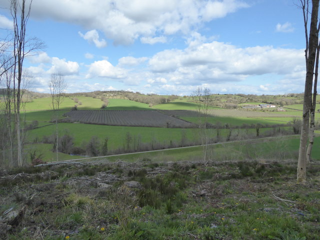
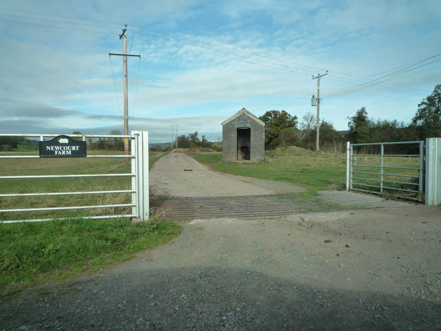
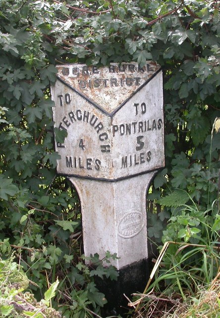
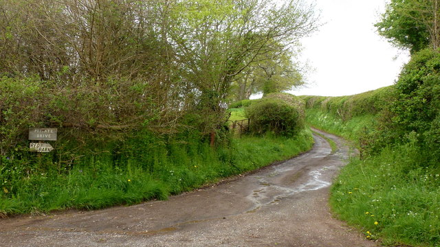
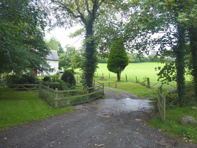
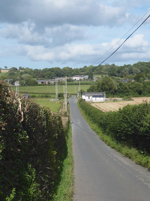
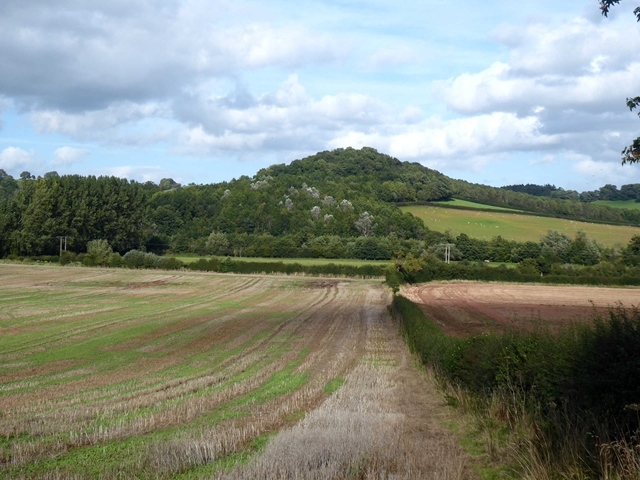
Abbey Dore is a civil parish located in the county of Herefordshire, England. It is situated in the beautiful Golden Valley, approximately 12 miles southwest of Hereford. The parish covers a total area of around 5,000 acres and is nestled amidst rolling countryside and picturesque landscapes.

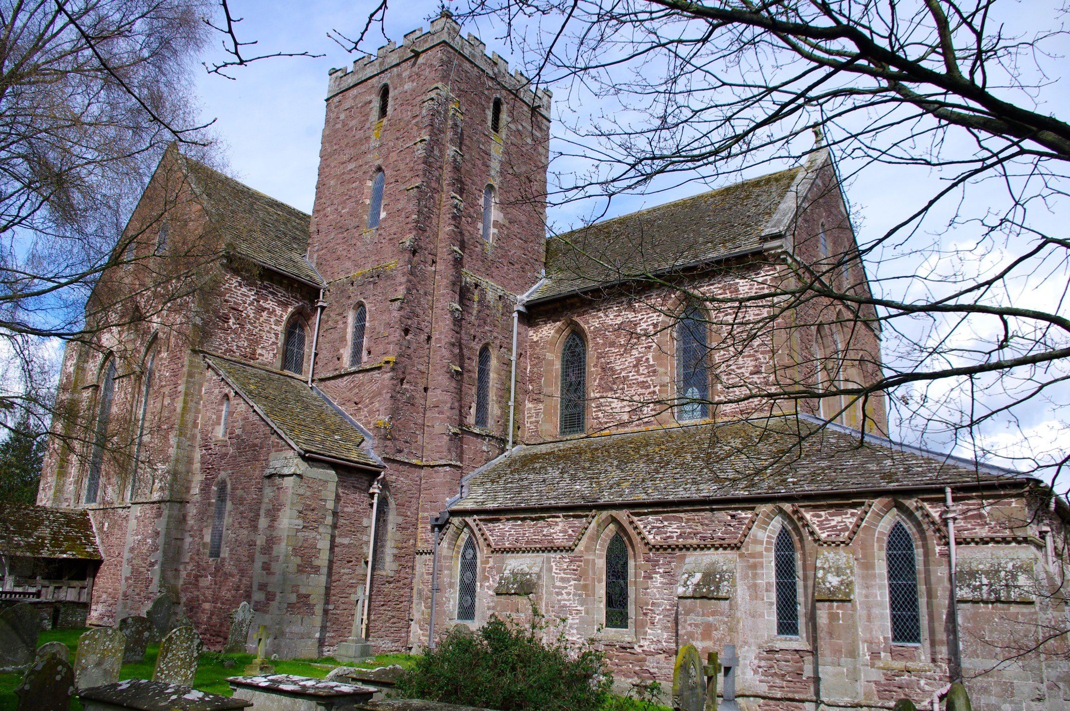
The parish is named after the historic Abbey Dore, a former Cistercian monastery that dates back to the 12th century. The abbey was dissolved during the Dissolution of the Monasteries in the 16th century, but its ruins still stand as a testament to its rich history and architectural grandeur.

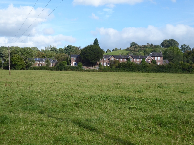
The village of Abbey Dore itself is a small and close-knit community with a population of around 400 residents. It is known for its charming and idyllic setting, with traditional stone buildings and a tranquil atmosphere. The village is home to a few amenities, including a village hall, a primary school, and a parish church.

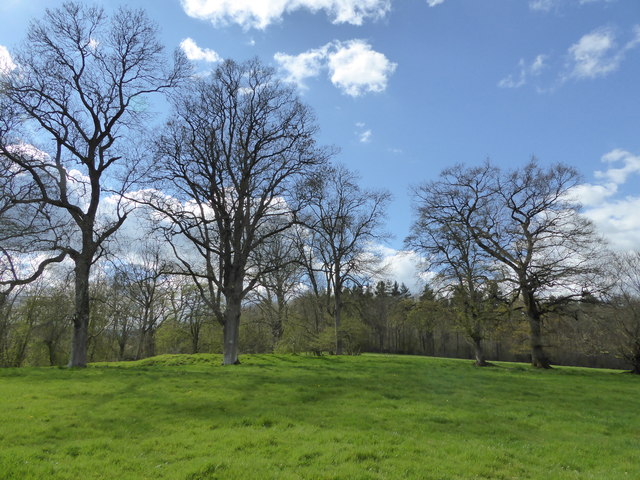
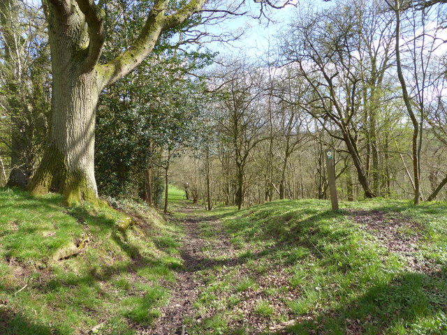
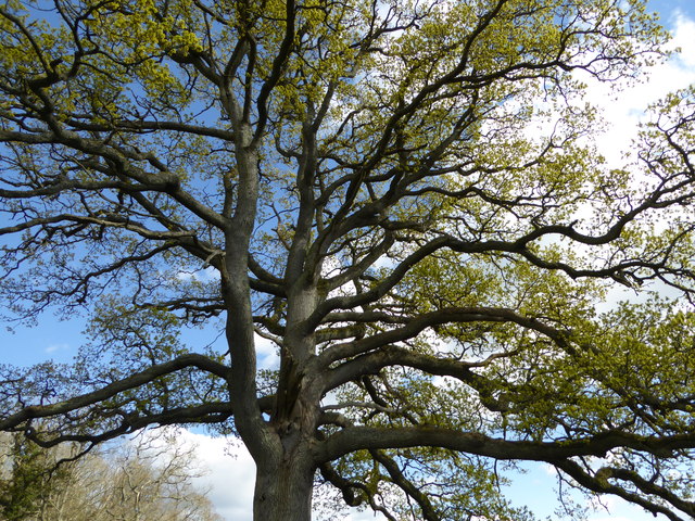
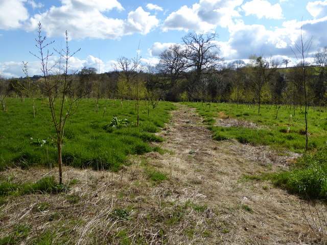
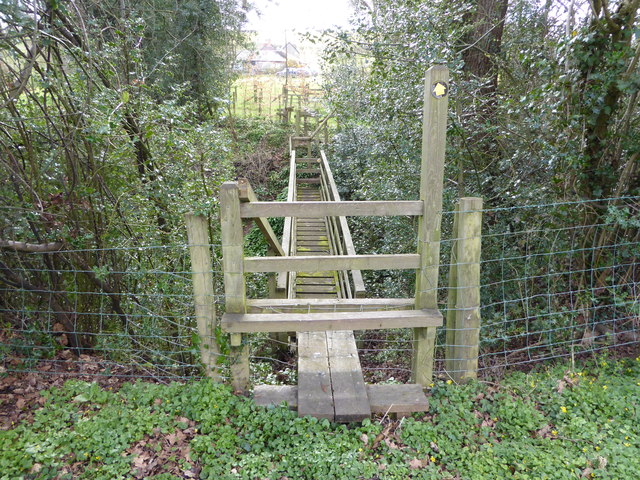
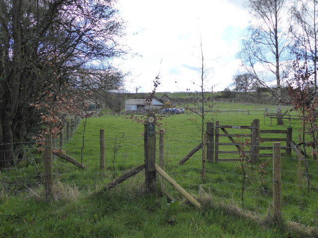
Nature enthusiasts will find plenty to explore in Abbey Dore, as the surrounding area offers a variety of walking trails and scenic spots. The nearby Dore Abbey Woods is a popular destination for those seeking a peaceful stroll amidst ancient woodland.

Overall, Abbey Dore is a serene and historic parish that offers a glimpse into the past while providing a peaceful and picturesque setting for its residents and visitors to enjoy.

If you have any feedback on the listing, please let us know in the comments section below.

Abbey Dore Images

Images are sourced within 2km of 51.990934/-2.884692 or Grid Reference SO3932. Thanks to Geograph Open Source API. All images are credited.

View from Llan Arw woods over the Dore valley Lovely countryside.
View from Llan Arw woods over the Dore valley
Lovely countryside.
On the Herefordshire Trail in spring Who would want to be anywhere else?
On the Herefordshire Trail in spring
Who would want to be anywhere else?
On the Herefordshire Trail in spring Nice old field access track here.
On the Herefordshire Trail in spring
Nice old field access track here.
Oak tree in springtime beside the Herefordshire Trail Always great to see such a massive tree come to life again.
Oak tree in springtime beside the Herefordshire Trail
Always great to see such a massive tree come to life again.
On the Herefordshire Trail in spring Walking through a young orchard here I think.
On the Herefordshire Trail in spring
Walking through a young orchard here I think.
Wooden footbridge on the Herefordshire Trail This one is old school. More like a Trainasium or Tarzan Course!
Wooden footbridge on the Herefordshire Trail
This one is old school. More like a Trainasium or Tarzan Course!
Stream from the wooden footbridge What is that in the water there?
Stream from the wooden footbridge
What is that in the water there?
Stone disc in the stream I can read West Bromwich 4 quarts - what could this be?
Stone disc in the stream
I can read West Bromwich 4 quarts - what could this be?
On the Herefordshire Trail Passing one of those modernised or converted rural properties that brandish a little too much signage, warning of 'Private Property' etc. Here we get 'No Admittance',  coupled to 'Please keep to the Right of Way, Thank you' and thirdly, 'Please keep your dog on a lead, Thank you'.

It always makes me think that if you move to the country and purchase a home on a public path or waymarked walk you should either purchase elsewhere or expect walkers to respect such givens, with no need to warn. 

It is I feel a sort of suburban paranoia that inspires landowners to issue orders to the orderly. 

And ironically here the homeowner's own dog was off a lead, yapped all the while as we passed and then came out after we had left the precincts to issue barks until we were out of sight. As paranoid, insecure and territorial as his owner maybe?
On the Herefordshire Trail
Passing one of those modernised or converted rural properties that brandish a little too much signage, warning of 'Private Property' etc. Here we get 'No Admittance', coupled to 'Please keep to the Right of Way, Thank you' and thirdly, 'Please keep your dog on a lead, Thank you'. It always makes me think that if you move to the country and purchase a home on a public path or waymarked walk you should either purchase elsewhere or expect walkers to respect such givens, with no need to warn. It is I feel a sort of suburban paranoia that inspires landowners to issue orders to the orderly. And ironically here the homeowner's own dog was off a lead, yapped all the while as we passed and then came out after we had left the precincts to issue barks until we were out of sight. As paranoid, insecure and territorial as his owner maybe?
Golden Valley Railway Line (Bacton) This section of the Golden Valley Railway line at Bacton (Herefordshire) is now covered by a lane that leads to farmland that is owned by Newcourt Farm. The miniature structure on the centre-right might have been a former railway building.
Golden Valley Railway Line (Bacton)
This section of the Golden Valley Railway line at Bacton (Herefordshire) is now covered by a lane that leads to farmland that is owned by Newcourt Farm. The miniature structure on the centre-right might have been a former railway building.
Bacton Railway Station This railway station used to be on the Golden Valley Railway line, but ever since that railway line closed, this station building was then converted into a house/farm building as what we can see here by today. Compare this with Ben Brooksbank's photo: <a href="https://www.geograph.org.uk/photo/1739826">SO3832 : Site/Remains of Bacton Station, Golden Valley line.</a>
Bacton Railway Station
This railway station used to be on the Golden Valley Railway line, but ever since that railway line closed, this station building was then converted into a house/farm building as what we can see here by today. Compare this with Ben Brooksbank's photo: SO3832 : Site/Remains of Bacton Station, Golden Valley line.
Old Milepost by the B4347, Bacton Parish Cast iron post by the B4347, in parish of BACTON (0 District), opposite Rose Cottage, next to Newcourt Farm entrance, on the verge, on North side of road. Harding Bros iron T-post, erected by the District Council in the 19th/20th century. 

Inscription reads:-
: TO / PETERCHURCH / 5 / MILES : : DORE RURAL / DISTRICT : : TO / PONTRILAS / 4 / MILES :
Maker:-
: HARDING / BROTHERS / HEREFORD. :

Grade II listed. List Entry Number: 1349316
<span class="nowrap"><a title="https://historicengland.org.uk/listing/the-list/list-entry/1349316" rel="nofollow ugc noopener" href="https://historicengland.org.uk/listing/the-list/list-entry/1349316">Link</a><img style="margin-left:2px;" alt="External link" title="External link - shift click to open in new window" src="https://s1.geograph.org.uk/img/external.png" width="10" height="10"/></span>

Milestone Society National ID: HF_PCPO05
Old Milepost by the B4347, Bacton Parish
Cast iron post by the B4347, in parish of BACTON (0 District), opposite Rose Cottage, next to Newcourt Farm entrance, on the verge, on North side of road. Harding Bros iron T-post, erected by the District Council in the 19th/20th century. Inscription reads:- : TO / PETERCHURCH / 5 / MILES : : DORE RURAL / DISTRICT : : TO / PONTRILAS / 4 / MILES : Maker:- : HARDING / BROTHERS / HEREFORD. : Grade II listed. List Entry Number: 1349316 LinkExternal link Milestone Society National ID: HF_PCPO05
Old Milepost by the B4347, Morehampton Park, Abbey Dore Parish Cast iron post by the B4347, in parish of ABBEY DORE (District), Morehampton Park; 140m North of Farmhouse Farm entrance, on embankment against hedge, on West side of road. Harding Bros. iron T-post, erected by the District Council in the 19th/20th century. 

Inscription reads:- : TO / PETERCHURCH / 4 / MILES : : DORE RURAL / DISTRICT : : TO / PONTRILAS / 5 / MILES : : HARDING / BROTHERS / HEREFORD. :

Milestone Society National ID: HF_PCPO04
Old Milepost by the B4347, Morehampton Park, Abbey Dore Parish
Cast iron post by the B4347, in parish of ABBEY DORE (District), Morehampton Park; 140m North of Farmhouse Farm entrance, on embankment against hedge, on West side of road. Harding Bros. iron T-post, erected by the District Council in the 19th/20th century. Inscription reads:- : TO / PETERCHURCH / 4 / MILES : : DORE RURAL / DISTRICT : : TO / PONTRILAS / 5 / MILES : : HARDING / BROTHERS / HEREFORD. : Milestone Society National ID: HF_PCPO04
Private drive to Red Barn North-east of Abbey Dore.
Private drive to Red Barn
North-east of Abbey Dore.
Driveway to Ford
Driveway to Ford
B4347 crossing the Dore valley Rose Cottage and Moorhampton Bridge (both <a href="https://www.geograph.org.uk/gridref/SO3832">SO3832</a>) in the middle distance.
B4347 crossing the Dore valley
Rose Cottage and Moorhampton Bridge (both SO3832) in the middle distance.
Minns Close Tump Looking across the Dore valley.
Minns Close Tump
Looking across the Dore valley.
Riverdale Looking across the meadow to the backs of houses in Riverdale, a small settlement based on an old workhouse.
Riverdale
Looking across the meadow to the backs of houses in Riverdale, a small settlement based on an old workhouse.
Show me another place!

Abbey Dore is located at Grid Ref: SO3932 (Lat: 51.990934, Lng: -2.884692)

Unitary Authority: County of Herefordshire

Police Authority: West Mercia

What 3 Words

///handbags.downfield.masks. Near Bacton, Herefordshire

Nearby Locations

Camp Wood Abbey Dore

Related Wikis

Bacton railway station

Bacton railway station was a station in Bacton, Herefordshire, England. It was located on the Great Western Railway branch line linking Pontrilas and Hay...
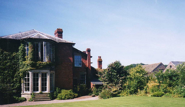
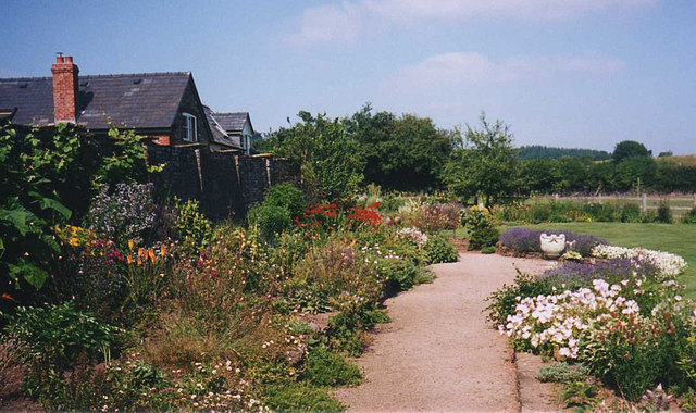
Abbey Dore Court

Abbey Dore Court is a country house in Abbey Dore, Herefordshire, England. It was built in the Golden Valley in 1861 for Thomas Freke Lewis. It includes...

Abbeydore railway station

Abbeydore railway station was a station in Abbey Dore, Herefordshire, England. It was located on the Great Western Railway branch line linking Pontrilas...

Bacton, Herefordshire

Bacton (Welsh: Bactwn) is a small village in a rural area of south-west Herefordshire, England, 14 miles (23 km) from Hereford. == History == One mile...

Abbey Dore

Abbey Dore is a village and civil parish in Herefordshire, England, known for Dore Abbey, a 12th-century Cistercian abbey, which was expanded in the 13th...

Dore Abbey

Dore Abbey is a former Cistercian abbey in the village of Abbey Dore in the Golden Valley, Herefordshire, England. A large part of the original medieval...

Pontrilas Army Training Area

Pontrilas Army Training Area is a British Army training camp, located just north of the village of Ewyas Harold near to Pontrilas in Herefordshire, England...

Ewyas Harold Meadows

Ewyas Harold Meadows is a nature reserve managed by Butterfly Conservation near the village of Ewyas Harold, Herefordshire, England. == References ==

Nearby Amenities

Located within 500m of 51.990934,-2.884692
Bus Stop
Kerry's Gate
Naptan AtcoCode: 2090A076100
Naptan Bearing: NE
Naptan BusStopType: CUS
Naptan CommonName: Kerry's Gate
Naptan Indicator: adj Telephone Box
Naptan Landmark: Telephone Box
Naptan NaptanCode: heradjgm
Naptan Street: N/K
Naptan Verified: no
Source: naptan_import
Lat/Long: 51.9944772/-2.8854599
Bus Stop
Kerry's Gate
Naptan AtcoCode: 2090A19081
Naptan Bearing: SW
Naptan BusStopType: CUS
Naptan CommonName: Kerry's Gate
Naptan Indicator: opp Telephone Box
Naptan Landmark: Telephone Box
Naptan NaptanCode: herajpjd
Naptan Street: N/K
Naptan Verified: no
Source: naptan_import
Lat/Long: 51.9944278/-2.8854026
Post Box
Collection Times: Mo-Fr 09:15; Sa 09:15; Su off
Operator: Royal Mail
Ref: HR2 7
Lat/Long: 51.9949688/-2.8855446
The data included in this document is from www.openstreetmap.org. The data is made available under ODbL.

Have you been to Abbey Dore?

Leave your review of Abbey Dore below (or comments, questions and feedback).