Cas-wis
Community in Pembrokeshire
Wales
Cas-wis

Cas-wis is a small community located in the county of Pembrokeshire, Wales. Situated in the southwestern part of the country, Cas-wis offers a picturesque and tranquil setting surrounded by natural beauty.
The community benefits from its proximity to the stunning Pembrokeshire Coast National Park, a renowned area of outstanding natural beauty. Residents and visitors alike can enjoy the breathtaking coastal scenery, with sandy beaches, rugged cliffs, and scenic walking trails. The area is also home to a diverse range of wildlife, making it a haven for nature lovers.
Cas-wis itself is a close-knit community with a small population. The main settlement in the area is the village of Cas-wis, which has a charming rural atmosphere. The village features a handful of amenities, including a local shop, a pub, and a community center, providing a sense of community spirit.
The economy in Cas-wis primarily relies on agriculture, with many residents involved in farming and livestock rearing. The community also benefits from tourism, as visitors are drawn to the area's natural beauty and the peaceful ambiance it offers.
In terms of transportation, Cas-wis is well-connected to the rest of Pembrokeshire. The nearby town of Haverfordwest, located approximately 12 miles away, provides additional services and amenities, including schools, healthcare facilities, and a wider range of shopping options.
Overall, Cas-wis offers a serene and idyllic lifestyle, with its stunning natural surroundings and strong sense of community. It is a perfect retreat for those seeking a peaceful escape in the heart of the Welsh countryside.
If you have any feedback on the listing, please let us know in the comments section below.
Cas-wis Images
Images are sourced within 2km of 51.842082/-4.871568 or Grid Reference SN0219. Thanks to Geograph Open Source API. All images are credited.
![Clarbeston Road station An Arriva train bound for Milford Haven has just pulled in and two passengers wait for the doors to open. Victorian OS maps show the station to be east of the road bridge [from where this shot was taken], but now it is on the west side. I stopped in the hope that the station would be an old GWR style building, but was obviously disappointed. I would guess that before the GWR built the line through here, the village of Clarbeston Road would not have existed, though a map of the 1880's shows a few dwellings and two pubs.](https://s0.geograph.org.uk/geophotos/05/16/23/5162340_0e2d9e1b.jpg)


Cas-wis is located at Grid Ref: SN0219 (Lat: 51.842082, Lng: -4.871568)
Unitary Authority: Pembrokeshire
Police Authority: Dyfed-Powys
Also known as: Wiston
What 3 Words
///indoor.staining.pays. Near Wiston, Pembrokeshire
Nearby Locations
Related Wikis

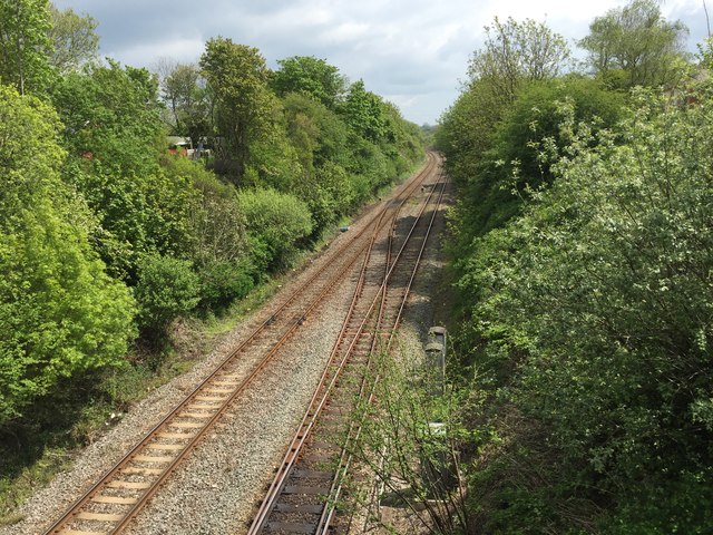
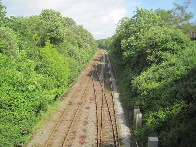
Clarbeston Road railway station
Clarbeston Road railway station serves villages such as Clarbeston Road, Clarbeston, Wiston, Walton East and Crundale in Pembrokeshire, Wales. The station...
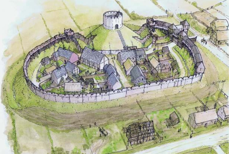
Wiston Castle
Wiston Castle (Welsh: Castell Cas-wis) is a motte and bailey castle in the Pembrokeshire village of Wiston in south west Wales and is one of the best examples...

Wiston, Pembrokeshire
Wiston (Welsh: Cas-Wis) is a village, parish and community in Pembrokeshire, Wales, in the United Kingdom. It was once a marcher borough. George Owen,...
Pembrokeshire
Pembrokeshire ( PEM-bruuk-sheer, -shər; Welsh: Sir Benfro [siːr ˈbɛnvrɔ]) is a county in the south-west of Wales. It is bordered by Carmarthenshire to...
Nearby Amenities
Located within 500m of 51.842082,-4.871568Have you been to Cas-wis?
Leave your review of Cas-wis below (or comments, questions and feedback).