Llanddunwyd

Community in Glamorgan

Wales

Llanddunwyd

Ripening field of wheat
Ripening field of wheat Credit: Alan Hughes

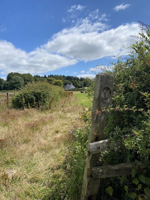
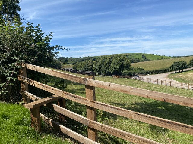
Llanddunwyd is a small community located in the historic county of Glamorgan, Wales. Situated in the Vale of Glamorgan, it is surrounded by picturesque countryside and is known for its tranquil and rural atmosphere. The community is made up of several hamlets and farms, with a population of approximately 500 residents.

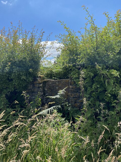
Llanddunwyd is rich in history, with evidence of human settlement dating back thousands of years. The area is home to several ancient burial mounds and standing stones, indicating its significance in prehistoric times. The remains of Llanddunwyd Castle, a medieval fortress, can also be found within the community.

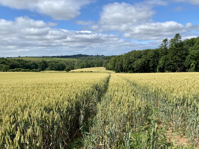
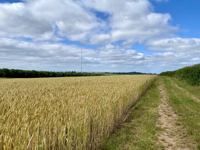
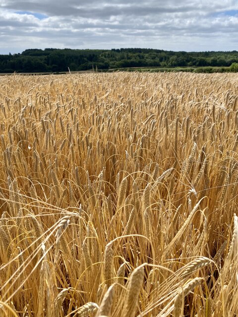
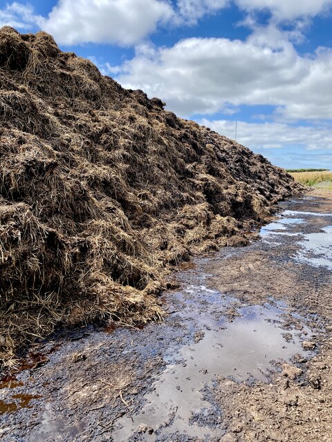
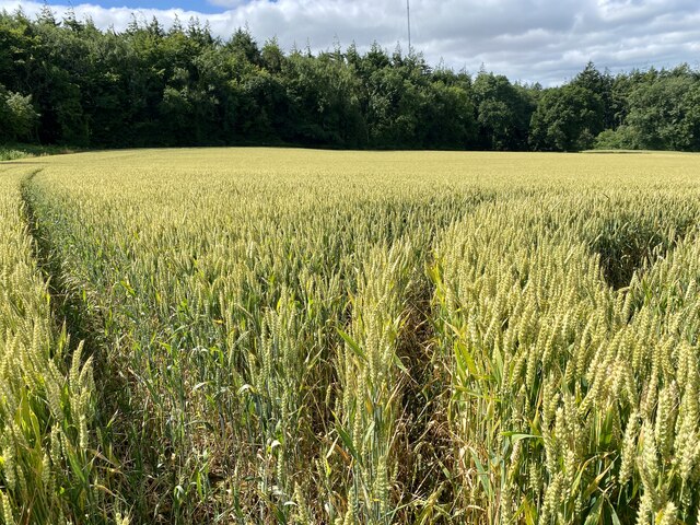
The community is primarily agricultural, with farming being the main economic activity. The fertile land in the area allows for the production of crops such as barley, wheat, and vegetables, as well as livestock rearing. The community takes pride in its agricultural heritage and hosts an annual agricultural show, showcasing the best produce and livestock from the area.

Despite its rural setting, Llanddunwyd is well-connected to nearby towns and cities. The community has good road links, with the A48 passing through, providing easy access to Cardiff and Bridgend. Additionally, public transportation services connect Llanddunwyd to neighboring communities, allowing residents to access a wider range of amenities and services.

Llanddunwyd offers a peaceful and picturesque setting for those seeking a slower pace of life, while still being within reach of larger urban centers. The community's rich history, agricultural traditions, and natural beauty make it an appealing place to live or visit.

If you have any feedback on the listing, please let us know in the comments section below.
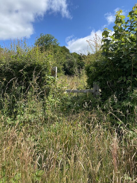
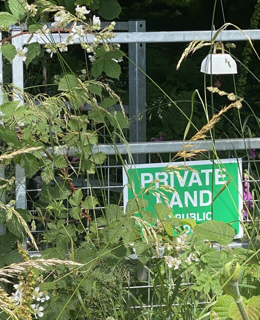
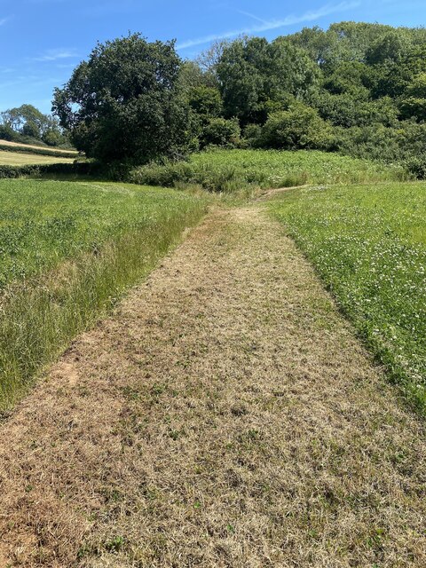
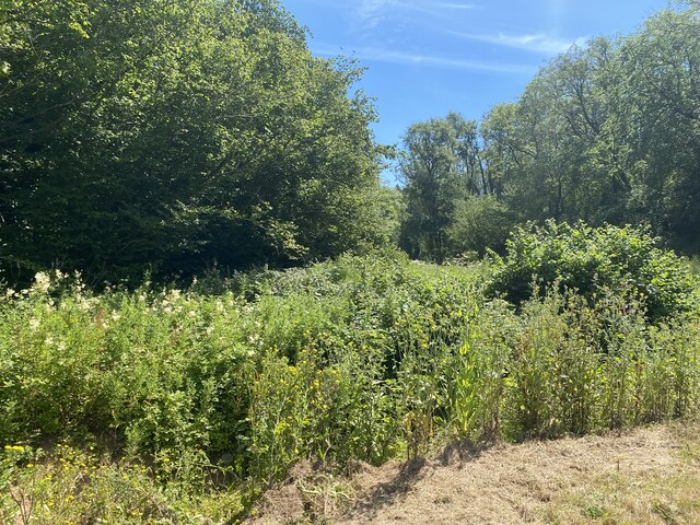
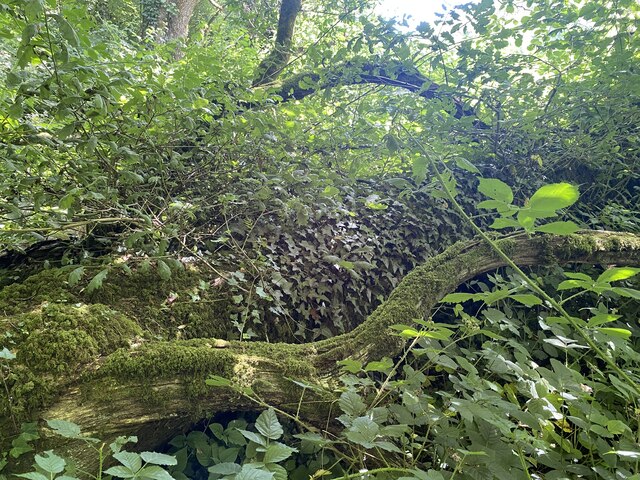
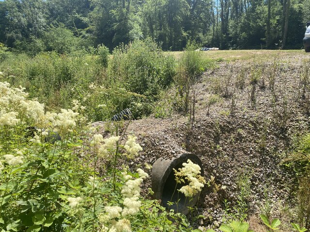
Llanddunwyd Images

Images are sourced within 2km of 51.478522/-3.399994 or Grid Reference ST0276. Thanks to Geograph Open Source API. All images are credited.

Ripening field of wheat
Private land - or public footpath?
Derelict farm buildings at Maes y Ward
Path alongside wheat field
Golden barley
Golden barley
Manure heap and leachate
Waymarker with no sign
Overgrown stone stile
Overgrown wooden stile
Corner of a wheat field Approaching Coed Mynydd Coch.
Corner of a wheat field
Approaching Coed Mynydd Coch.
Brambles, a sign - and a cowbell! Marked on OS maps as a public footpath, someone rightly or wrongly thinks otherwise and has attached a novel warning device.

See also <a href="https://www.geograph.org.uk/photo/7220922">ST0475 : Private land - or public footpath?</a> of which this image is a detail.
Brambles, a sign - and a cowbell!
Marked on OS maps as a public footpath, someone rightly or wrongly thinks otherwise and has attached a novel warning device. See also ST0475 : Private land - or public footpath? of which this image is a detail.
Fredwell Café and Patisserie Business on the Pant Wilkin estate.
Fredwell Café and Patisserie
Business on the Pant Wilkin estate.
New stile on an ancient path The path appears to go in stages from Cowbridge to Pendoylan and beyond, passing the Iron Age hillforts at Llanquian and Castell Coch.  Much of the footpath is at present unpassable.
New stile on an ancient path
The path appears to go in stages from Cowbridge to Pendoylan and beyond, passing the Iron Age hillforts at Llanquian and Castell Coch. Much of the footpath is at present unpassable.
Ditch, path and track
Mown path This mown section of the footpath looks promising … so far!
Mown path
This mown section of the footpath looks promising … so far!
Impenetrable footpath See <a href="https://www.geograph.org.uk/photo/7224446">ST0274 : Mown path</a>

… but soon degenerates into an impenetrable jungle.
Impenetrable footpath
See ST0274 : Mown path … but soon degenerates into an impenetrable jungle.
Fallen tree and undergrowth A fallen tree and dense undergrowth make the public footpath impassable.
Fallen tree and undergrowth
A fallen tree and dense undergrowth make the public footpath impassable.
A path of chippings over a culvert It would seem that the only reason for this path of chippings is to give access to the footpath. But after just a few yards the public footpath is impenetrable.
A path of chippings over a culvert
It would seem that the only reason for this path of chippings is to give access to the footpath. But after just a few yards the public footpath is impenetrable.
Show me another place!

Llanddunwyd is located at Grid Ref: ST0276 (Lat: 51.478522, Lng: -3.399994)

Unitary Authority: The Vale of Glamorgan

Police Authority: South Wales

Also known as: Welsh St. Donats

What 3 Words

///funky.nail.walkway. Near Cowbridge, Vale of Glamorgan

Related Wikis

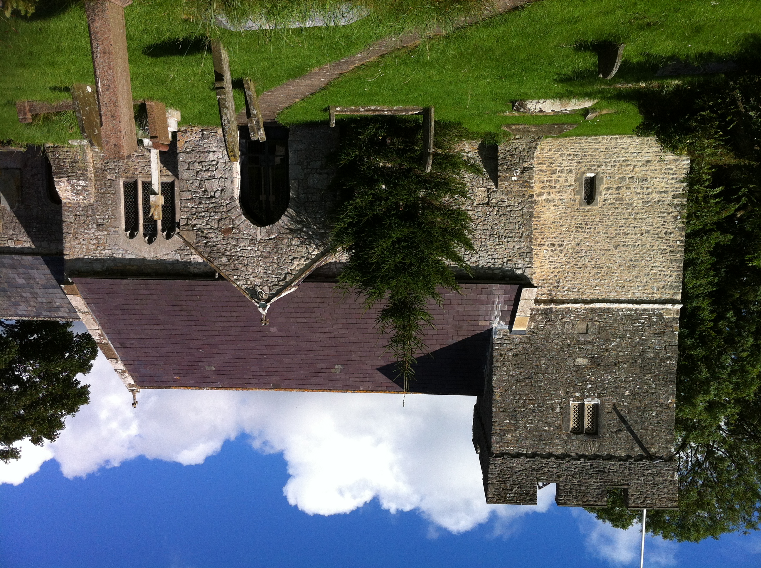
St Donat's Church, Welsh St Donats

St Donat's Church is a Grade I listed church in Welsh St Donats, in the Vale of Glamorgan, south Wales. It became a Grade I listed building on 28 January...

Welsh St Donats

Welsh St Donats (Welsh: Llanddunwyd) is a village and a community in the Vale of Glamorgan, Wales. Consisting of 1207 hectares of mainly rural land, it...

Ystradowen railway station

Ystradowen railway station served the village of Ystradowen in the Vale of Glamorgan in South Wales. It was on the Cowbridge and Aberthaw line. == History... ==
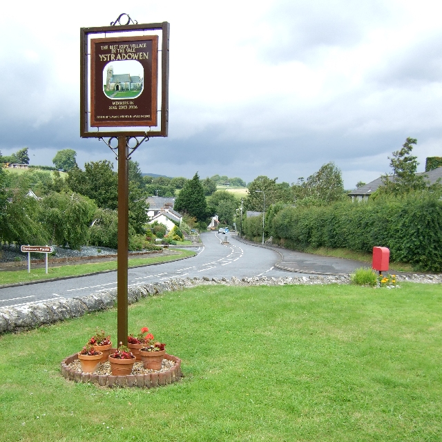
Ystradowen

Ystradowen is a small village twelve miles west of Cardiff, located in the Vale of Glamorgan in south Wales; its nearest town is Cowbridge which is about...

Nearby Amenities

Located within 500m of 51.478522,-3.399994
Source: NPE
Lat/Long: 51.4750654/-3.4009601
Welsh St Donats
Name Cy: Llanddunwyd
Name En: Welsh St Donats
Place: hamlet
Source: OS_OpenData_StreetView
Lat/Long: 51.476171/-3.4003662
Direction: 165
Generator Method: photovoltaic
Generator Output Electricity: yes
Generator Solar Modules: 22
Generator Source: solar
Generator Type: solar_photovoltaic_panel
Location: roof
Power: generator
Lat/Long: 51.4767573/-3.3934195
The data included in this document is from www.openstreetmap.org. The data is made available under ODbL.

Have you been to Llanddunwyd?

Leave your review of Llanddunwyd below (or comments, questions and feedback).