Drenewydd Gelli-farch

Community in Monmouthshire

Wales

Drenewydd Gelli-farch

Grade II listed early Victorian Gaerllwyd Baptist Chapel, Monmouthshire Cadw records that this very small rectangular chapel opened in 1842 as Mount Zion, a Welsh Calvinistic Methodist chapel. It was later transferred to the Presbyterians and finally to the Baptists. Grade II listed in 2001.
Grade II listed early Victorian Gaerllwyd Baptist Chapel, Monmouthshire Credit: Jaggery

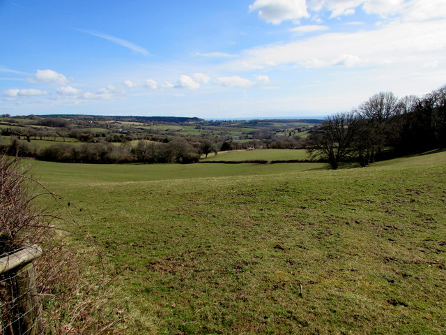
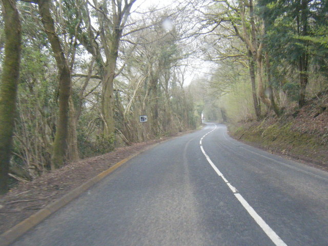
Drenewydd Gelli-farch is a small community located in the county of Monmouthshire, Wales. Situated in the eastern part of the county, it lies approximately 5 miles east of the town of Abergavenny. The community is nestled in a picturesque rural setting, surrounded by rolling hills and lush green countryside.

The population of Drenewydd Gelli-farch is relatively small, with around 500 residents. The community is predominantly rural, characterized by a scattering of farms and small hamlets. The area is known for its tranquil and peaceful atmosphere, making it an ideal location for those seeking a quiet countryside lifestyle.

Despite its small size, Drenewydd Gelli-farch offers a range of amenities and services to its residents. There is a local primary school, providing education for the younger members of the community. Additionally, the community boasts a village hall, which serves as a hub for social gatherings and events.

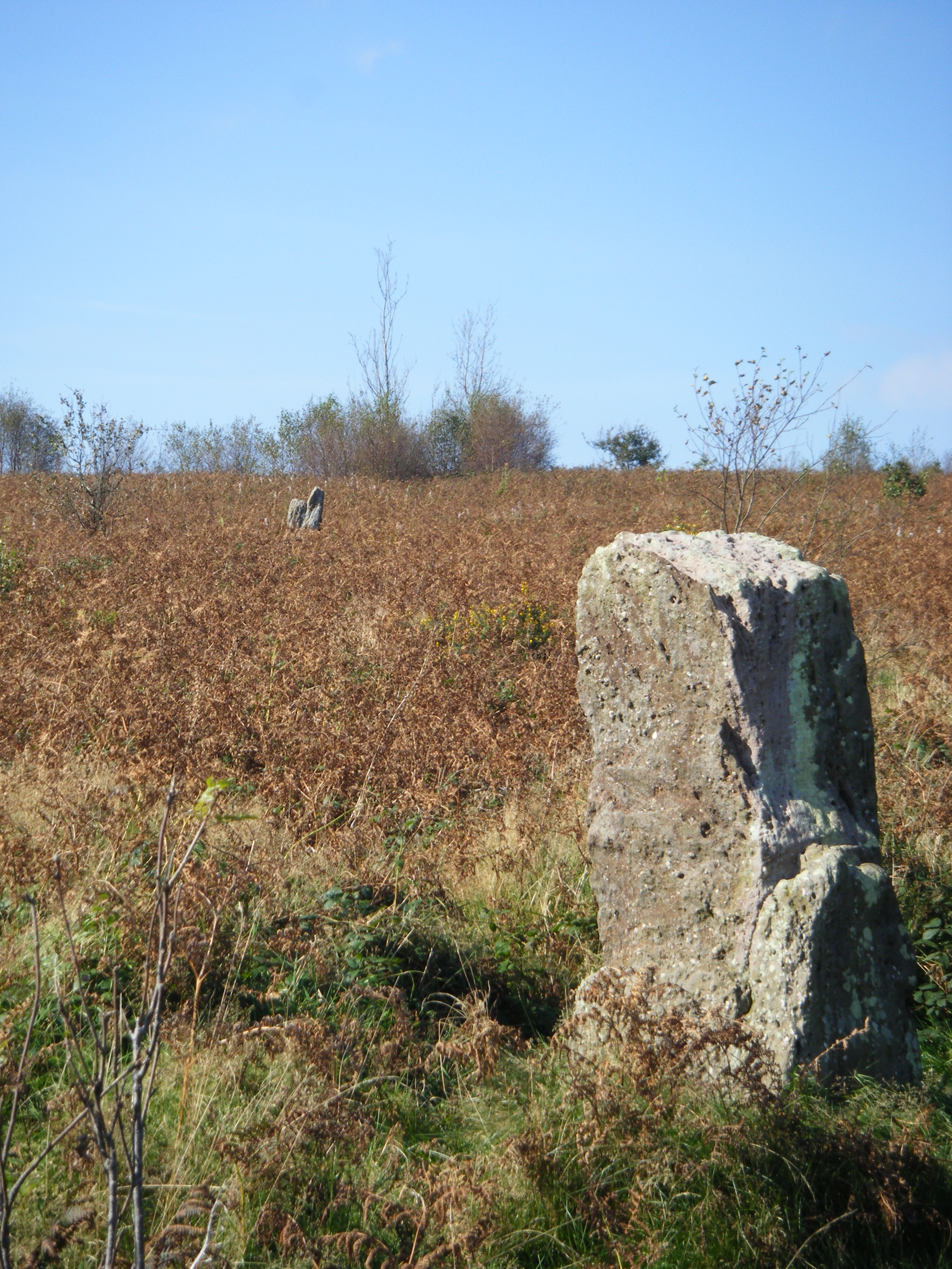
The natural beauty of the surrounding landscape provides ample opportunities for outdoor activities. The community is blessed with numerous walking trails, allowing residents to explore the countryside and enjoy the stunning views. With its close proximity to the Brecon Beacons National Park, outdoor enthusiasts can easily access the park's diverse range of wildlife, hiking trails, and outdoor recreational activities.

Overall, Drenewydd Gelli-farch is a charming and tight-knit community that offers a peaceful rural lifestyle amidst the natural beauty of Monmouthshire.

If you have any feedback on the listing, please let us know in the comments section below.

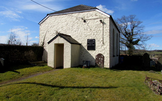
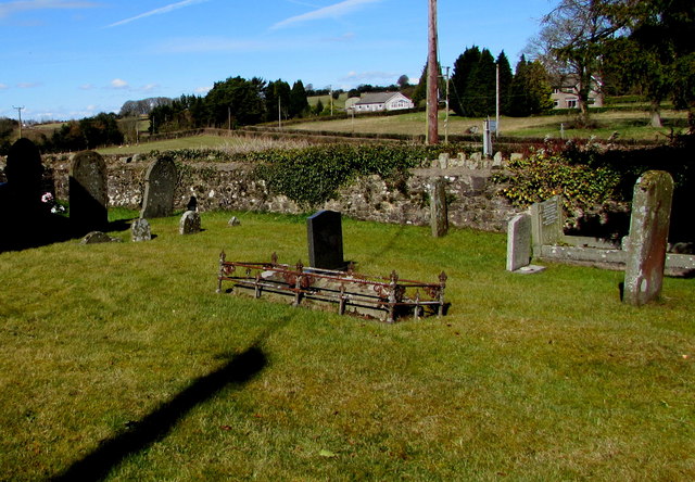
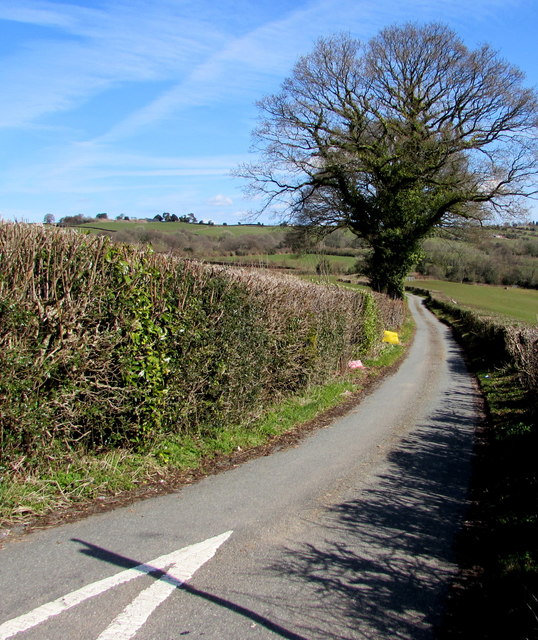
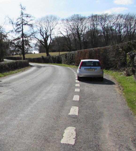
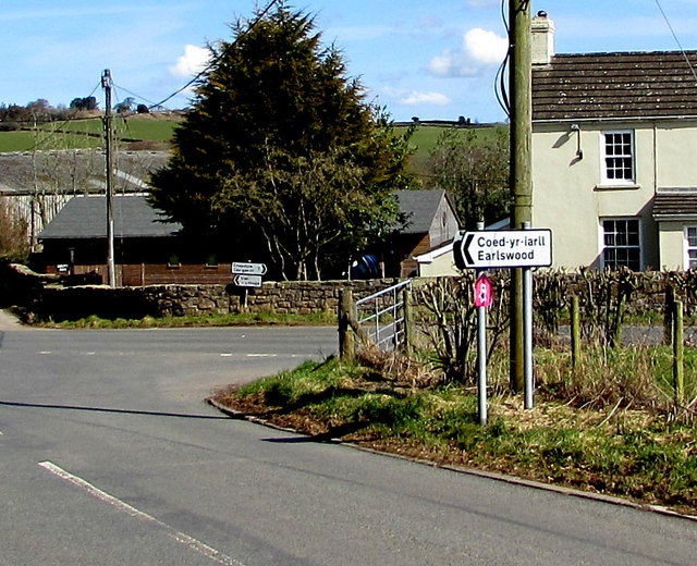
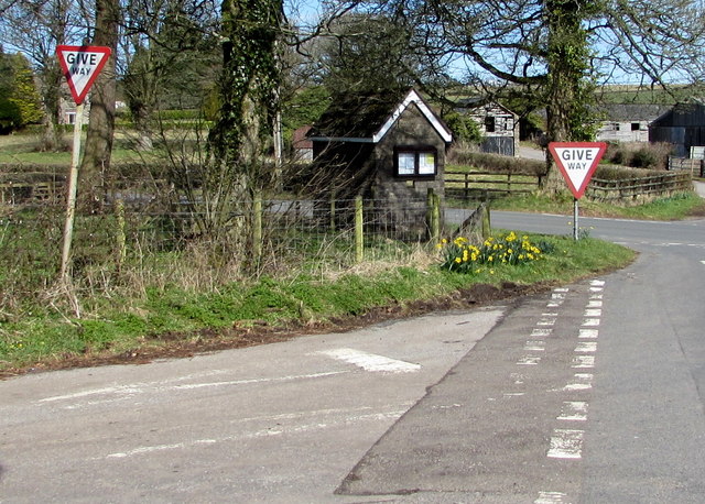
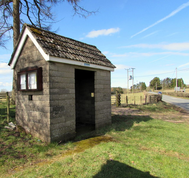
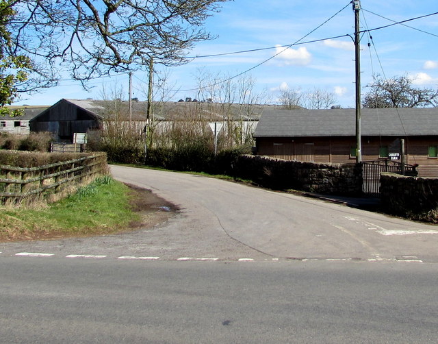
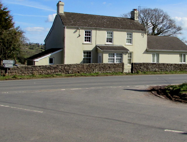
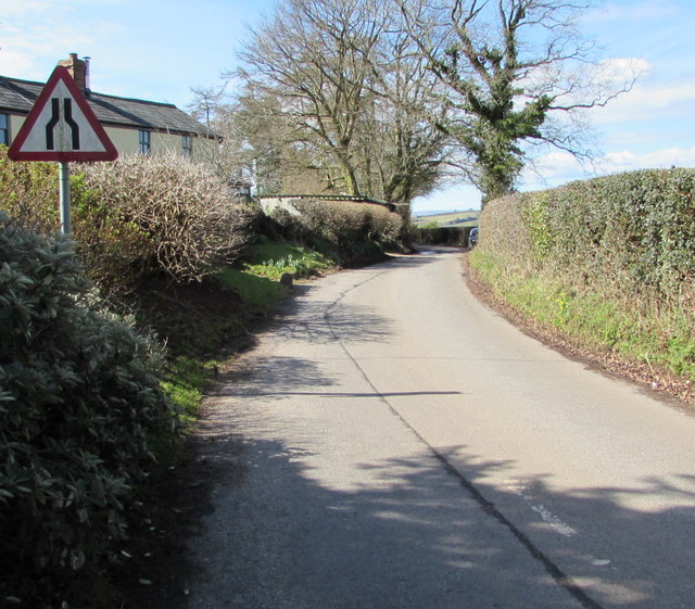
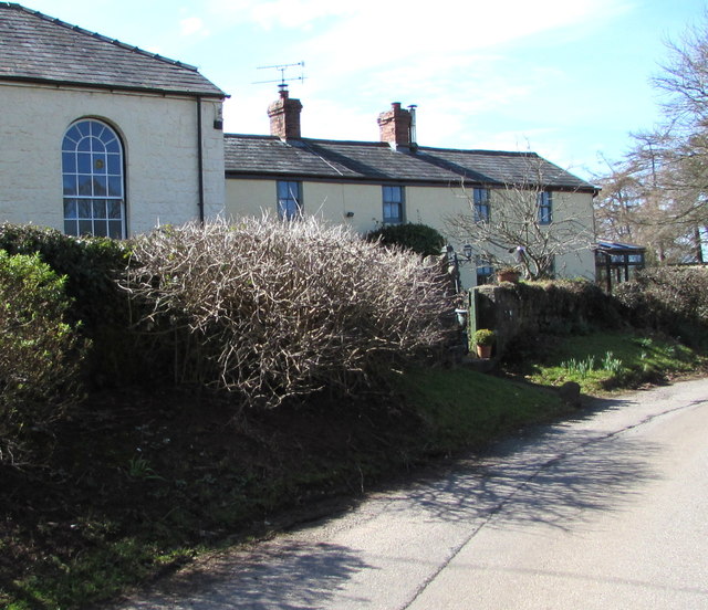
Drenewydd Gelli-farch Images

Images are sourced within 2km of 51.65528/-2.796147 or Grid Reference ST4595. Thanks to Geograph Open Source API. All images are credited.

Grade II listed early Victorian Gaerllwyd Baptist Chapel, Monmouthshire Cadw records that this very small rectangular chapel opened in 1842 as Mount Zion, a Welsh Calvinistic Methodist chapel. It was later transferred to the Presbyterians and finally to the Baptists. Grade II listed in 2001.
Grade II listed early Victorian Gaerllwyd Baptist Chapel, Monmouthshire
Cadw records that this very small rectangular chapel opened in 1842 as Mount Zion, a Welsh Calvinistic Methodist chapel. It was later transferred to the Presbyterians and finally to the Baptists. Grade II listed in 2001.
Small burial ground in Gaerllwyd, Monmouthshire On the north side of Gaerllwyd Baptist Chapel. <a title="https://www.geograph.org.uk/photo/5717735" href="https://www.geograph.org.uk/photo/5717735">Link</a>
Small burial ground in Gaerllwyd, Monmouthshire
On the north side of Gaerllwyd Baptist Chapel. Link
Four-way directions sign in Gaerllwyd, Monmouthshire Facing northbound traffic on the B4235 in rural Monmouthshire.
Four-way directions sign in Gaerllwyd, Monmouthshire
Facing northbound traffic on the B4235 in rural Monmouthshire.
Minor road towards Newchurch and Devauden, Monmouthshire Descending from the B4235 in Gaerllwyd.
Minor road towards Newchurch and Devauden, Monmouthshire
Descending from the B4235 in Gaerllwyd.
Rural Monmouthshire in late March 2018 Viewed from a field gate in Gaerllwyd on March 25th 2018.
Rural Monmouthshire in late March 2018
Viewed from a field gate in Gaerllwyd on March 25th 2018.
Queen Elizabeth II postbox and a Grade II listed phonebox in Gaerllwyd, Monmouthshire Alongside the boundary wall of Gaerllwyd Baptist Chapel <a title="https://www.geograph.org.uk/photo/5717735" href="https://www.geograph.org.uk/photo/5717735">Link</a> The K6 phonebox was Grade II listed in 2009.
Queen Elizabeth II postbox and a Grade II listed phonebox in Gaerllwyd, Monmouthshire
Alongside the boundary wall of Gaerllwyd Baptist Chapel Link The K6 phonebox was Grade II listed in 2009.
Layby in Gaerllwyd, Monmouthshire On the east side of Gaerllwyd Baptist Chapel. <a title="https://www.geograph.org.uk/photo/5717735" href="https://www.geograph.org.uk/photo/5717735">Link</a>
Layby in Gaerllwyd, Monmouthshire
On the east side of Gaerllwyd Baptist Chapel. Link
Bilingual direction sign in Gaerllwyd, Monmouthshire Earlswood is Coed-yr-iarll in Welsh.
Bilingual direction sign in Gaerllwyd, Monmouthshire
Earlswood is Coed-yr-iarll in Welsh.
Two sizes of Give Way sign in Gaerllwyd, Monmouthshire The sign on the left is about half the size of the one near the bus shelter.
Two sizes of Give Way sign in Gaerllwyd, Monmouthshire
The sign on the left is about half the size of the one near the bus shelter.
Stone bus shelter in Gaerllwyd, Monmouthshire Alongside the B4235, the road from Chepstow to Usk.
Stone bus shelter in Gaerllwyd, Monmouthshire
Alongside the B4235, the road from Chepstow to Usk.
Gaerllwyd Farm, Gaerllwyd, Monmouthshire Viewed from the B4235, the road from Chepstow to Usk.
Gaerllwyd Farm, Gaerllwyd, Monmouthshire
Viewed from the B4235, the road from Chepstow to Usk.
B4235 from Gaerllwyd towards Usk The B4235 passes through Gaerllwyd, a small village in Monmouthshire
about 10 km from Usk to the NE and 11 km from Chepstow to the SW.
B4235 from Gaerllwyd towards Usk
The B4235 passes through Gaerllwyd, a small village in Monmouthshire about 10 km from Usk to the NE and 11 km from Chepstow to the SW.
White house in Gaerllwyd, Monmouthshire Alongside the B4235, the road from Usk to Chepstow.
White house in Gaerllwyd, Monmouthshire
Alongside the B4235, the road from Usk to Chepstow.
West along the minor road from Gaerllwyd to Earlswood, Monmouthshire The sign warns of a narrower road ahead.
West along the minor road from Gaerllwyd to Earlswood, Monmouthshire
The sign warns of a narrower road ahead.
Cottage attached to Gaerllwyd Baptist Chapel Built as the manse cottage for the chapel <a title="https://www.geograph.org.uk/photo/5717735" href="https://www.geograph.org.uk/photo/5717735">Link</a> on left, the cottage has been altered and modernised.
Cottage attached to Gaerllwyd Baptist Chapel
Built as the manse cottage for the chapel Link on left, the cottage has been altered and modernised.
B4235 west of Bullyhole Bottom
B4235 south of Gove Wood
Clearfell in Wentwood A lot of seedling conifers are popping up here but the general view is open to the south and east of the camera position.
Clearfell in Wentwood
A lot of seedling conifers are popping up here but the general view is open to the south and east of the camera position.
Show me another place!

Drenewydd Gelli-farch is located at Grid Ref: ST4595 (Lat: 51.65528, Lng: -2.796147)

Unitary Authority: Monmouthshire

Police Authority: Gwent

Also known as: Shirenewton

What 3 Words

///persuade.inhabited.picked. Near Llanvaches, Newport

Related Wikis

Earlswood, Monmouthshire

Earlswood (Welsh: Coed-yr-iarll) is a rural area of scattered settlement in Monmouthshire, south east Wales, United Kingdom. It is located five miles...

Gaerllwyd

Gaerllwyd is a village in Monmouthshire, south east Wales, United Kingdom. == Location == Gaerllwyd is located 6 miles (9.7 km) south east of Usk and 7...

Newchurch, Monmouthshire

Newchurch (Welsh: Yr Eglwys Newydd ar y Cefn, meaning "new church on the ridge") is an extensive rural parish and small hamlet in Monmouthshire, south...

Gray Hill, Monmouthshire

Gray Hill (Welsh: Mynydd Llwyd) is a hill immediately to the north of the village of Llanvair Discoed, Monmouthshire, South Wales, rising to 896 feet...

Llanvair Discoed

Llanvair Discoed (Welsh: Llanfair Is Coed) is a small village in Monmouthshire, south-east Wales, 6 miles west of Chepstow and 10 miles east of Newport...

Church of the Holy Cross, Kilgwrrwg

The Church of the Holy Cross, Kilgwrrwg, Monmouthshire, Wales, is an early medieval parish church that once supported a now abandoned village. A Grade...

Shirenewton

Shirenewton (Welsh: Drenewydd Gelli-farch) is a village and community in Monmouthshire, south east Wales. It is located 3 miles due west of Chepstow,...

Kilgwrrwg

Kilgwrrwg (Welsh: Cilgwrrwg) is a rural parish in Monmouthshire, south east Wales, United Kingdom. It is located 7 miles (11 km) north west of Chepstow...

Nearby Amenities

Located within 500m of 51.65528,-2.796147
Give Way
Direction: forward
Lat/Long: 51.6563803/-2.790468
Direction: 210
Generator Method: photovoltaic
Generator Output Electricity: yes
Generator Solar Modules: 16
Generator Source: solar
Generator Type: solar_photovoltaic_panel
Location: roof
Power: generator
Lat/Long: 51.657707/-2.7978766
The data included in this document is from www.openstreetmap.org. The data is made available under ODbL.

Have you been to Drenewydd Gelli-farch?

Leave your review of Drenewydd Gelli-farch below (or comments, questions and feedback).