Bridgefoot

Settlement in Angus

Scotland

Bridgefoot

Track to Balmydown
Track to Balmydown Credit: Douglas Nelson

The requested URL returned error: 429 Too Many Requests

If you have any feedback on the listing, please let us know in the comments section below.
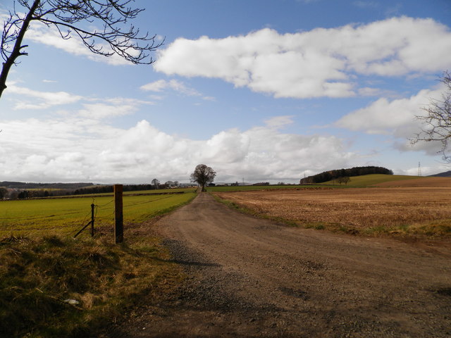
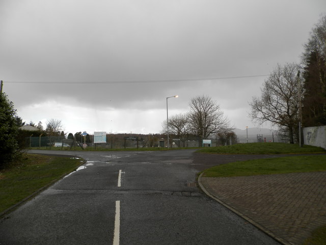
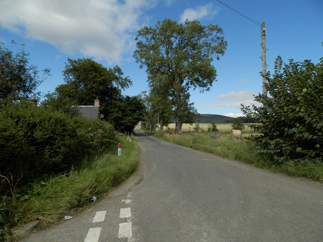
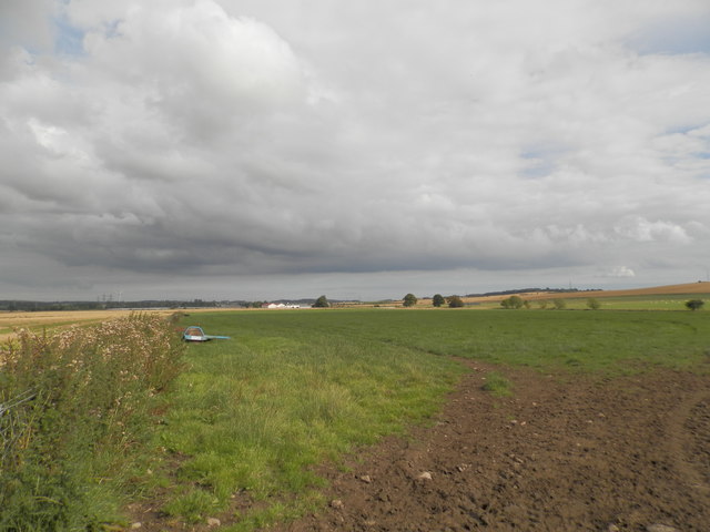
Bridgefoot Images

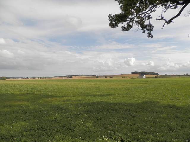
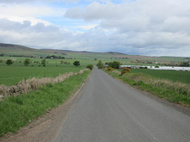
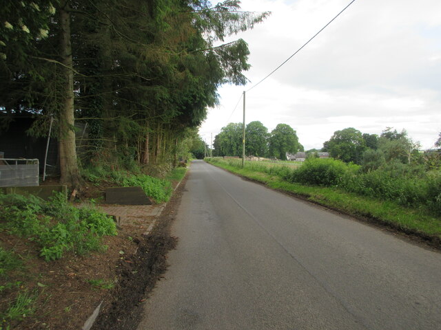
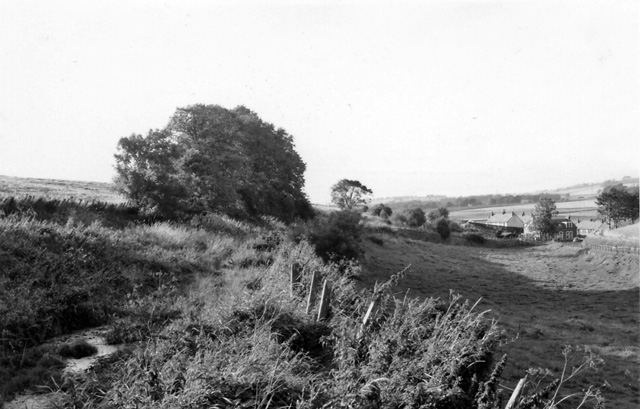
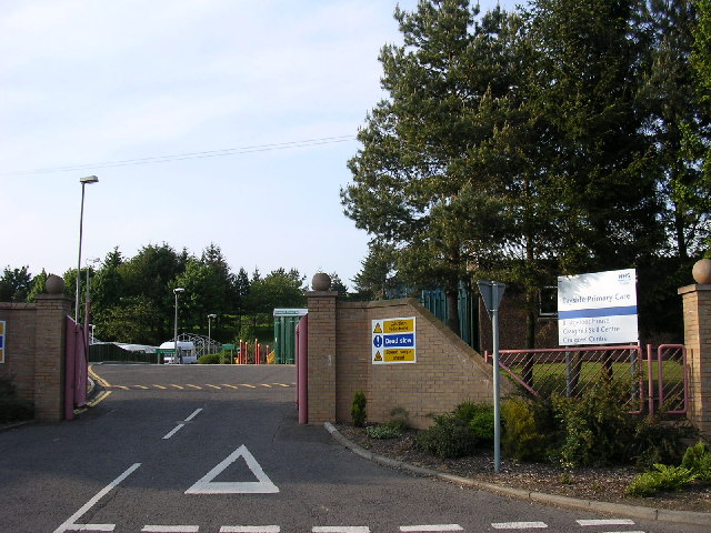
Images are sourced within 2km of 56.506375/-3.0139597 or Grid Reference NO3735. Thanks to Geograph Open Source API. All images are credited.

Track to Balmydown
Track to Balmydown
Scottish Water Depot, Clatto Looks like more of the wet stuff is about to arrive!
Scottish Water Depot, Clatto
Looks like more of the wet stuff is about to arrive!
Minor road near Emmock
Minor road at South Fallows
Minor road heading towards Leoch
Field at North Mains of Baldovan
Field at Wynton
Field at Wynton
Wynton Farm
Wynton Farm
Farmland at Wynton Farmland to the south of the Sidlaws
Farmland at Wynton
Farmland to the south of the Sidlaws
Water tower on Gallow Hill The Gallow Hill water tower. The highest point in the city of Dundee.
Water tower on Gallow Hill
The Gallow Hill water tower. The highest point in the city of Dundee.
Old Milestone by Strathmartine Road, Bridgefoot Stone post by the UC road, in parish of Mains of Strathmartine (Angus District), Bridgefoot, junction with Craigmill Road.

Defaced inscription reads:-
North Face:
Not visible.
West Face: 
TO BALUDERON
{<-arrow} 2 MILES
TO (??)
{<-arrow} 2½ MILES
TO DOWNFIELD
1¾ MILES {arrow->} 
TO DUNDEE
(3?) MILES {arrow->} 

Surveyed

Milestone Society National ID: AN_DDAH03bf
Old Milestone by Strathmartine Road, Bridgefoot
Stone post by the UC road, in parish of Mains of Strathmartine (Angus District), Bridgefoot, junction with Craigmill Road. Defaced inscription reads:- North Face: Not visible. West Face: TO BALUDERON {<-arrow} 2 MILES TO (??) {<-arrow} 2½ MILES TO DOWNFIELD 1¾ MILES {arrow->} TO DUNDEE (3?) MILES {arrow->} Surveyed Milestone Society National ID: AN_DDAH03bf
Road to Tealing Minor road heading north between Dundee and Tealing, with the Angus Transmitter on the horizon.
Road to Tealing
Minor road heading north between Dundee and Tealing, with the Angus Transmitter on the horizon.
Woodland at East Jeanfield East Jeanfield and surrounding woodland, viewed from the road to the east.
Woodland at East Jeanfield
East Jeanfield and surrounding woodland, viewed from the road to the east.
Sheep at Leoch Looking northwards to a field of sheep, with Leoch Farm in the background.
Sheep at Leoch
Looking northwards to a field of sheep, with Leoch Farm in the background.
C8 (Angus) road, looking west The C8 Rosemill Road to the west of Bridgefoot.
C8 (Angus) road, looking west
The C8 Rosemill Road to the west of Bridgefoot.
C7 (Angus) road towards Bridgefoot The C7 heading downhill, south to Bridgefoot.
C7 (Angus) road towards Bridgefoot
The C7 heading downhill, south to Bridgefoot.
Crop field off Emmock Road
Looking north on Emmock Road
Show me another place!

Bridgefoot is located at Grid Ref: NO3735 (Lat: 56.506375, Lng: -3.0139597)

Unitary Authority: Angus

Police Authority: Tayside

What 3 Words

///clown.asserts.reach. Near Muirhead, Angus

Nearby Locations

Bridgefoot

Related Wikis

Bridgefoot, Angus

Bridgefoot, previously called Kirkton of Strathmartine, is a village in Angus, Scotland. It lies approximately one mile north of Dundee, to the west of...

Baldragon railway station

Baldragon railway station served the village of Baldragon in the Scottish county of Angus. Services were provided by the Dundee and Newtyle Railway....

Strathmartine Hospital

Strathmartine Hospital was a health facility in Craigmaill Road, Strathmartine, Angus, Scotland. It was managed by NHS Tayside. It remains a Category B...

Strathmartine

Strathmartine is an area of Angus, Scotland (named after a local mythical hero, Strathmartin The Dragonslayer). It is to the north of Dundee and the surrounding...

Nearby Amenities

Located within 500m of 56.506375,-3.0139597
Noexit: yes
Lat/Long: 56.5059652/-3.0119614
Old Baldragon
Naptan AtcoCode: 6490IM1077
Naptan Bearing: SW
Naptan BusStopType: CUS
Naptan CommonName: Old Baldragon
Naptan Indicator: opp
Naptan NaptanCode: 26425648
Naptan Street: Strathmartine Road
Naptan Verified: no
Source: naptan_import
Lat/Long: 56.5026604/-3.010304
Strathmartine Primary School
Naptan AtcoCode: 6490IM1078
Naptan Bearing: W
Naptan BusStopType: CUS
Naptan CommonName: Strathmartine School
Naptan Indicator: at School
Naptan Landmark: Strathmartine Primary School
Naptan NaptanCode: 26425696
Naptan Street: Strathmartine Primary School
Naptan Verified: no
Source: naptan_import
Lat/Long: 56.5057016/-3.0121874
Old Baldragon
Local Ref: AT
Naptan AtcoCode: 6490IM1745
Naptan Bearing: SE
Naptan BusStopType: CUS
Naptan CommonName: Old Baldragon
Naptan Indicator: at
Naptan NaptanCode: 26427287
Naptan Street: Strathmartine Road
Naptan Verified: no
Source: naptan_import
Lat/Long: 56.5027152/-3.0101917
Bus Stop
Bus Shelter
Local Ref: AT
Naptan AtcoCode: 6490IM2210
Naptan Bearing: E
Naptan CommonName: Bus Shelter
Naptan Indicator: at
Naptan NaptanCode: 26426363
Naptan Street: Strathmartine Road
Naptan Verified: no
Source: naptan_import
Lat/Long: 56.5054792/-3.0139047
Bus Shelter
Naptan AtcoCode: 6490IM2211
Naptan Bearing: W
Naptan BusStopType: CUS
Naptan CommonName: Bus Shelter
Naptan Indicator: opp
Naptan NaptanCode: 26426387
Naptan Street: Strathmartine Road
Naptan Verified: no
Source: naptan_import
Lat/Long: 56.5054998/-3.0135803
Power: tower
Lat/Long: 56.5069896/-3.0173147
Power: tower
Lat/Long: 56.5075564/-3.0128972
Power: tower
Lat/Long: 56.5081757/-3.0077569
Bridgefoot
Old Name: Kirkton of Strathmartine
Place: village
Wikidata: Q4966489
Wikipedia: en:Bridgefoot, Angus
Lat/Long: 56.5052935/-3.0140792
Baldragon
Historic Railway: station
Railway: site
Wikidata: Q4850470
Wikipedia: en:Baldragon railway station
Lat/Long: 56.5037632/-3.0142658
Power: pole
Lat/Long: 56.5084186/-3.0073124
Power: pole
Lat/Long: 56.5086094/-3.008255
Power: pole
Lat/Long: 56.5088115/-3.0092999
Power: pole
Lat/Long: 56.5089896/-3.0102271
Power: pole
Lat/Long: 56.5091789/-3.0111901
Power: pole
Lat/Long: 56.5093556/-3.0121173
Power: pole
Lat/Long: 56.5095634/-3.0132007
Power: pole
Lat/Long: 56.5086574/-3.012358
Power: pole
Lat/Long: 56.5079564/-3.0126167
Power: pole
Lat/Long: 56.5073233/-3.0128293
Power: pole
Lat/Long: 56.5067339/-3.0130393
Power: pole
Lat/Long: 56.5061558/-3.0132391
Power: pole
Lat/Long: 56.5097386/-3.0141355
Power: pole
Lat/Long: 56.5099435/-3.0151318
Power: pole
Lat/Long: 56.5100439/-3.0161589
Power: pole
Lat/Long: 56.5101527/-3.0171321
Power: pole
Lat/Long: 56.5055332/-3.0192566
Power: pole
Lat/Long: 56.5049271/-3.0193798
Power: pole
Lat/Long: 56.5018885/-3.0136438
Power: pole
Lat/Long: 56.5021359/-3.0124553
Power: pole
Lat/Long: 56.502396/-3.0112746
Power: pole
Lat/Long: 56.5025981/-3.010391
Power: pole
Lat/Long: 56.5028186/-3.0093512
Power: pole
Lat/Long: 56.5050899/-3.020795
Power: pole
Lat/Long: 56.5049378/-3.0194731
Westlands
Place: isolated_dwelling
Lat/Long: 56.5078268/-3.0136913
Post Box
Collection Times: Mo-Fr 09:00; Sa 07:00
Manufacturer: W.T.Allen & Co. London
Operator: Royal Mail
Post Box Mounting: brick_pillar
Post Box Type: wall
Ref: DD3 151D
Royal Cypher: GR
Source: survey
Lat/Long: 56.5050215/-3.0142049
The data included in this document is from www.openstreetmap.org. The data is made available under ODbL.

Have you been to Bridgefoot?

Leave your review of Bridgefoot below (or comments, questions and feedback).