Nanhyfer
Community in Pembrokeshire
Wales
Nanhyfer
The requested URL returned error: 429 Too Many Requests
If you have any feedback on the listing, please let us know in the comments section below.
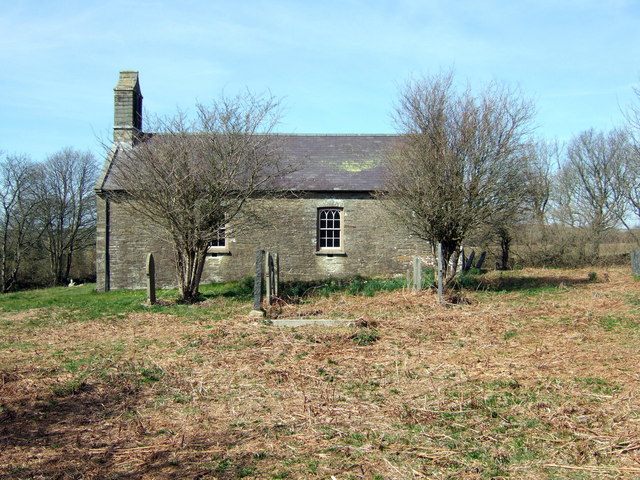
Nanhyfer Images
Images are sourced within 2km of 52.036765/-4.773819 or Grid Reference SN0941. Thanks to Geograph Open Source API. All images are credited.


Nanhyfer is located at Grid Ref: SN0941 (Lat: 52.036765, Lng: -4.773819)
Unitary Authority: Pembrokeshire
Police Authority: Dyfed-Powys
Also known as: Nevern
What 3 Words
///grief.surreal.bottom. Near Nevern, Pembrokeshire
Related Wikis
Bayvil
Bayvil (Welsh: Y Beifil) is a hamlet and parish in Pembrokeshire, Wales. It is situated in the north of the county, 5 kilometres (3.1 mi) east of Newport...
St Andrew's Church, Bayvil
St Andrew's Church, Bayvil, is a redundant church standing in an isolated position in the hamlet of Bayvil, some 2 kilometres (1.2 mi) to the northeast...

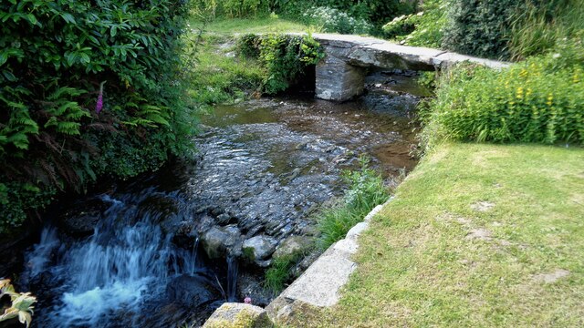
Nevern Bridge
Nevern Bridge (Welsh: Pont Nanhyfer) spans the River Nevern (Welsh: Afon Nyfer) in the centre of Nevern, Pembrokeshire, Wales. This Grade II listed bridge...

Felindre Farchog
Felindre Farchog (; rough English translation: mill village of the knight, or horseman) is a small village in the community of Nevern in Pembrokeshire...
Have you been to Nanhyfer?
Leave your review of Nanhyfer below (or comments, questions and feedback).