Nannerch

Community in Denbighshire

Wales

Nannerch

A541 near Nannerch The A541 runs for 26 miles, linking St Asaph with Wrexham. Its northern end starts at the crossroads in the middle of the village of Trefnant (just south of St Asaph). It ends at Wrexham, where it joins the B5101 road. On the way, it passes the town of Mold and also passes through many villages.
A541 near Nannerch Credit: David Dixon

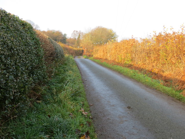
Nannerch is a small rural community located in Denbighshire, Wales. It is situated near the market town of Mold and lies within the Clwydian Range Area of Outstanding Natural Beauty. The village is surrounded by rolling hills and farmland, making it an ideal location for those seeking a peaceful and picturesque setting.

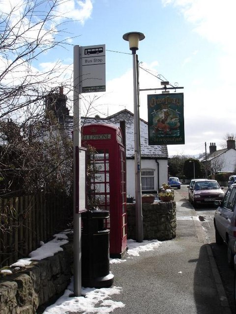
Nannerch is home to a tight-knit community of residents who take pride in their village and its heritage. The village itself has a charming mix of traditional Welsh cottages and more modern housing, giving it a unique character. The community is served by a local pub, village hall, and primary school, providing essential amenities for its residents.

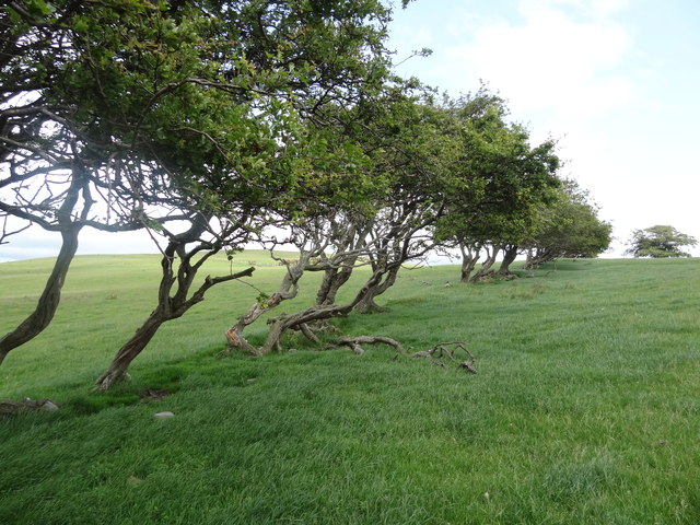
The surrounding area offers plenty of opportunities for outdoor activities such as hiking, cycling, and horse riding, with the Clwydian Range nearby providing stunning views and diverse wildlife. Nannerch is also within easy reach of the coast, making it a popular destination for those looking to enjoy both rural and coastal attractions.

Overall, Nannerch is a welcoming and idyllic community that offers a high quality of life for its residents.

If you have any feedback on the listing, please let us know in the comments section below.
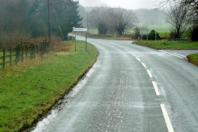
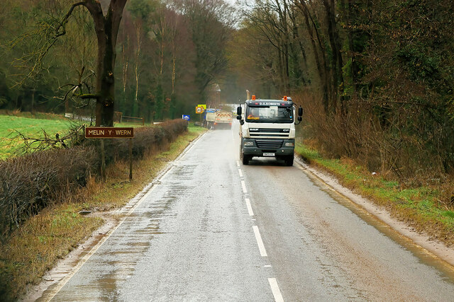
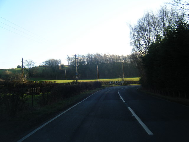
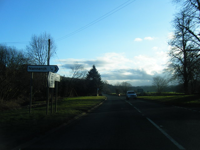
Nannerch Images

Images are sourced within 2km of 53.206855/-3.268694 or Grid Reference SJ1568. Thanks to Geograph Open Source API. All images are credited.

A541 near Nannerch The A541 runs for 26 miles, linking St Asaph with Wrexham. Its northern end starts at the crossroads in the middle of the village of Trefnant (just south of St Asaph). It ends at Wrexham, where it joins the B5101 road. On the way, it passes the town of Mold and also passes through many villages.
A541 near Nannerch
The A541 runs for 26 miles, linking St Asaph with Wrexham. Its northern end starts at the crossroads in the middle of the village of Trefnant (just south of St Asaph). It ends at Wrexham, where it joins the B5101 road. On the way, it passes the town of Mold and also passes through many villages.
A541, Nannerch The A541 runs for 26 miles, linking St Asaph with Wrexham. Its northern end starts at the crossroads in the middle of the village of Trefnant (just south of St Asaph). It ends at Wrexham, where it joins the B5101 road. On the way, it passes the town of Mold and also passes through many villages.
A541, Nannerch
The A541 runs for 26 miles, linking St Asaph with Wrexham. Its northern end starts at the crossroads in the middle of the village of Trefnant (just south of St Asaph). It ends at Wrexham, where it joins the B5101 road. On the way, it passes the town of Mold and also passes through many villages.
A451 east of Nannerch The A541 runs for 26 miles, linking St Asaph with Wrexham. Its northern end starts at the crossroads in the middle of the village of Trefnant (just south of St Asaph). It ends at Wrexham, where it joins the B5101 road. On the way, it passes the town of Mold and also passes through many villages.
A451 east of Nannerch
The A541 runs for 26 miles, linking St Asaph with Wrexham. Its northern end starts at the crossroads in the middle of the village of Trefnant (just south of St Asaph). It ends at Wrexham, where it joins the B5101 road. On the way, it passes the town of Mold and also passes through many villages.
Metal stile There are a number of these metal stiles in this area. They are robust and not liable to rot or become slippery after rain.
Metal stile
There are a number of these metal stiles in this area. They are robust and not liable to rot or become slippery after rain.
Ruined farmhouse
Ruined farmhouse
Junction of farm tracks
Tractor tracks along field edge
Farm track west of Moel Plas-yw
Woodland track off mountain road
A541, Melin y Wern The A541 runs for 26 miles, linking St Asaph with Wrexham. Its northern end starts at the crossroads in the middle of the village of Trefnant (just south of St Asaph). It ends at Wrexham, where it joins the B5101 road. On the way, it passes the town of Mold and also passes through many villages.
A541, Melin y Wern
The A541 runs for 26 miles, linking St Asaph with Wrexham. Its northern end starts at the crossroads in the middle of the village of Trefnant (just south of St Asaph). It ends at Wrexham, where it joins the B5101 road. On the way, it passes the town of Mold and also passes through many villages.
A541 near Nannerch
A541 near Nannerch
A541 south of Nannerch
A541 near Tardd-Y-Wyr
Windswept hawthorns on Bryn Golau The footpath across Bryn Golau provides excellent views of the Clwyd range, including Moel Arthur.
Windswept hawthorns on Bryn Golau
The footpath across Bryn Golau provides excellent views of the Clwyd range, including Moel Arthur.
Minor road at Bryn-goleu-mawr Looking eastward.
Minor road at Bryn-goleu-mawr
Looking eastward.
Minor road near Bryn-goleu Looking north-westward.
Minor road near Bryn-goleu
Looking north-westward.
Bench mark on Nannerch church This bench mark is on the north west corner of St Michael and All Angels church in Nannerch.  Somewhat strangely, the Ordnance Survey database and old maps name the church as St Mary's!  See also <a href="https://www.geograph.org.uk/photo/4775600">SJ1669 : The west end of Nannerch church</a>  For details of the mark see <span class="nowrap"><a title="http://www.bench-marks.org.uk/bm72428" rel="nofollow ugc noopener" href="http://www.bench-marks.org.uk/bm72428">Link</a><img style="margin-left:2px;" alt="External link" title="External link - shift click to open in new window" src="https://s1.geograph.org.uk/img/external.png" width="10" height="10"/></span>
Bench mark on Nannerch church
This bench mark is on the north west corner of St Michael and All Angels church in Nannerch. Somewhat strangely, the Ordnance Survey database and old maps name the church as St Mary's! See also SJ1669 : The west end of Nannerch church For details of the mark see LinkExternal link
The west end of Nannerch church This is the west end of St Michael and All Angels, Nannerch.  There is an Ordnance Survey bench mark on the corner nearest the camera - see <a href="https://www.geograph.org.uk/photo/4775589">SJ1669 : Bench mark on Nannerch church</a>
The west end of Nannerch church
This is the west end of St Michael and All Angels, Nannerch. There is an Ordnance Survey bench mark on the corner nearest the camera - see SJ1669 : Bench mark on Nannerch church
Show me another place!

Nannerch is located at Grid Ref: SJ1568 (Lat: 53.206855, Lng: -3.268694)

Unitary Authority: Flintshire

Police Authority: North Wales

What 3 Words

///joked.winning.relay. Near Halkyn, Flintshire

Related Wikis

Penbedw

Penbedw is a country estate near Nannerch, Flintshire, Wales. Penbedw Hall was demolished by developers some time after 1969.Its parks and gardens are...

Nannerch

Nannerch is a village and community in Flintshire, Wales, located within the Clwydian Range and Dee Valley Area of Outstanding Natural Beauty. At the 2001...

Nannerch railway station

Nannerch railway station was a station in Nannerch, Flintshire, Wales. The station was opened on 6 September 1869 and closed on 30 April 1962. == References... ==

Mold and Denbigh Junction Railway

The Mold and Denbigh Junction Railway was a railway company that built a 16-mile (26 km) railway line in North Wales. It formed a link between the Mold...

Have you been to Nannerch?

Leave your review of Nannerch below (or comments, questions and feedback).