Aberpennar Dwyrain
Community in Glamorgan
Wales
Aberpennar Dwyrain
Aberpennar Dwyrain is a community located in the county of Glamorgan, Wales. Situated in the southern part of the country, it covers an area of approximately 5 square kilometers. The community is part of the Merthyr Tydfil County Borough and is bordered by the communities of Cyfarthfa and Gurnos to the north, and Merthyr Vale to the south.
Aberpennar Dwyrain is primarily a residential area, characterized by a mix of housing types including detached houses, semi-detached houses, and terraced houses. The community is home to a diverse population, with a range of age groups and backgrounds.
The area benefits from its proximity to various amenities and services. There are several schools within the community, providing education for children of all ages. Local shops and supermarkets cater to the everyday needs of residents, while nearby leisure facilities offer opportunities for recreational activities.
Aberpennar Dwyrain is well-connected in terms of transportation. The A470 road runs through the community, providing easy access to neighboring towns and cities. There are also regular bus services that operate within the area, connecting residents to the wider region.
Overall, Aberpennar Dwyrain offers a pleasant residential environment with a range of amenities and good transportation links. Its location in the county of Glamorgan provides residents with access to a variety of cultural, leisure, and employment opportunities in the surrounding area.
If you have any feedback on the listing, please let us know in the comments section below.
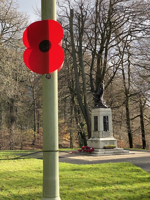
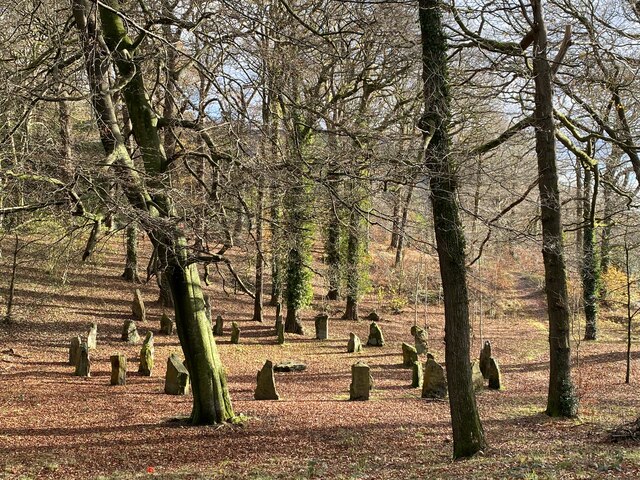
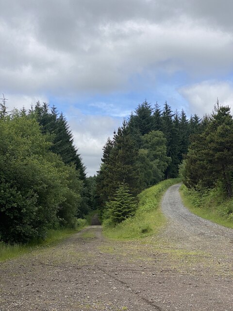
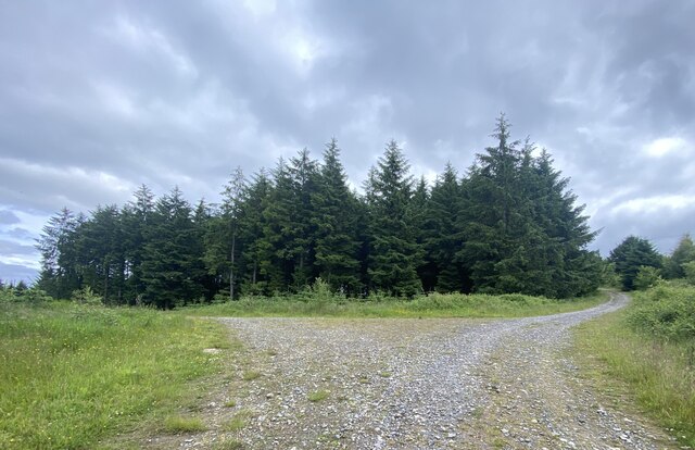
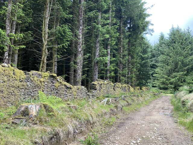
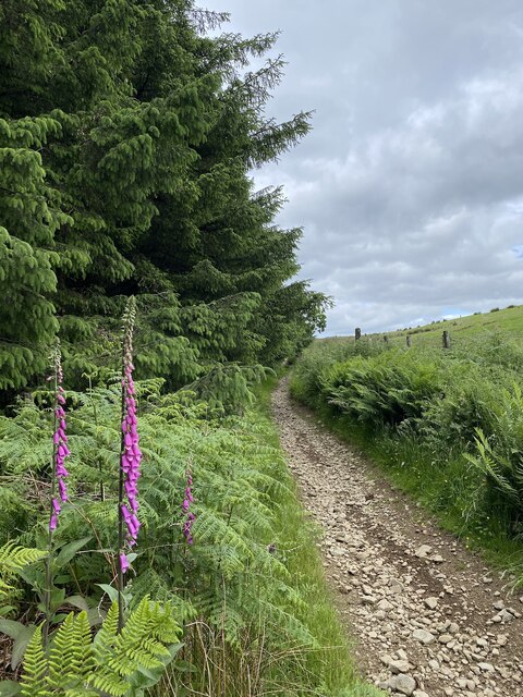
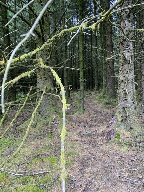
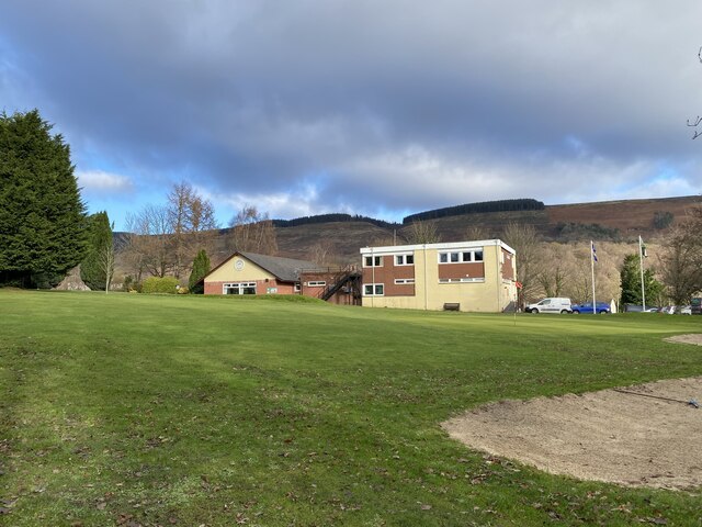
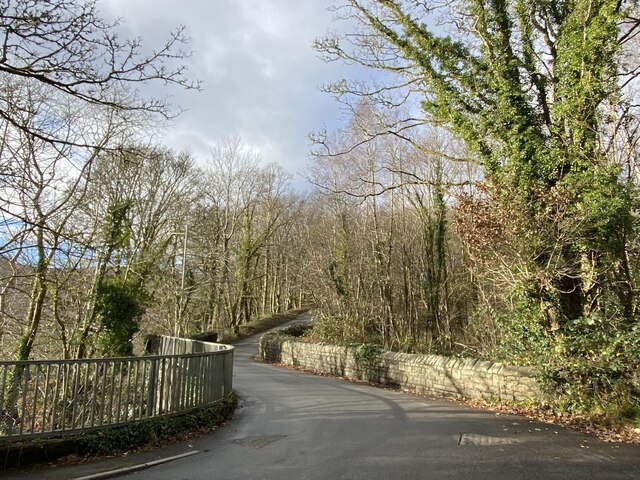
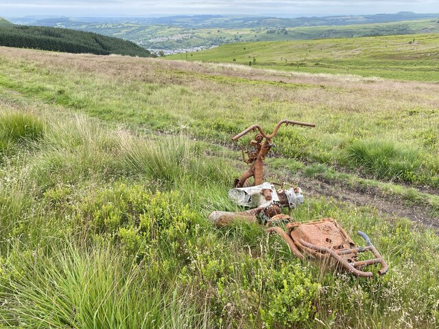
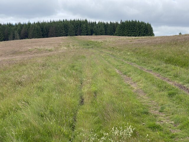
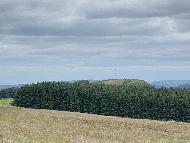
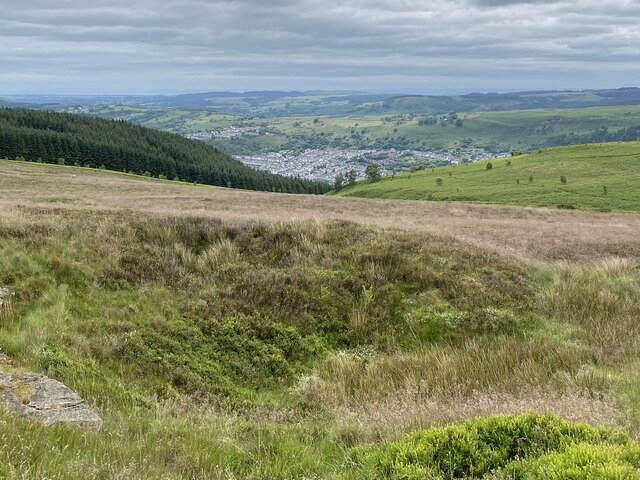
Aberpennar Dwyrain Images
Images are sourced within 2km of 51.689082/-3.371731 or Grid Reference ST0599. Thanks to Geograph Open Source API. All images are credited.


Aberpennar Dwyrain is located at Grid Ref: ST0599 (Lat: 51.689082, Lng: -3.371731)
Unitary Authority: Rhondda Cynon Taf
Police Authority: South Wales
Also known as: Mountain Ash East
What 3 Words
///width.agency.sprayed. Near Mountain Ash, Rhondda Cynon Taf
Nearby Locations
Related Wikis

Mountain Ash East
Mountain Ash East is a community and coterminous electoral ward in Rhondda Cynon Taf, Wales. It primarily includes the part of the town of Mountain Ash...

Bethania Chapel, Mountain Ash
Bethania is an Independent chapel in Phillip Street, Mountain Ash, Glamorgan, Wales. Services at Bethania are conducted in the Welsh language. == Early... ==

Mountain Ash Cardiff Road railway station
Mountain Ash Cardiff Road railway station served the town of Mountain Ash, Rhondda Cynon Taf, Wales, from 1864 to 1964 on the Vale of Neath Railway....

Mountain Ash General Hospital
Mountain Ash General Hospital (Welsh: Ysbyty Cyffredinol Mountain Ash) was a health facility on Duffryn Road, Mountain Ash, Rhondda Cynon Taf, Wales. It...

Mountain Ash Town Hall
Mountain Ash Town Hall (Welsh: Neuadd y Dref Aberpennar) is a municipal structure in Ffrwd Crescent, Mountain Ash, Rhondda Cynon Taf, Wales. The town...
Mountain Ash Urban District
Mountain Ash Urban District was a local authority in Mountain Ash, in the Cynon Valley, Glamorgan, Wales. It was created in 1894 as a result of the 1894...

Mountain Ash railway station
Mountain Ash Railway Station (Welsh: Gorsaf Reilffordd Aberpennar) is a railway station serving the town of Mountain Ash in Rhondda Cynon Taf, Wales. It...
Rhos Baptist Chapel, Mountain Ash
Rhos, Mountain Ash was a Baptist chapel in Mountain Ash, Glamorgan, Wales. Services at Rhos were conducted in the Welsh language. == Early history == There...
Related Videos


Cribarth...The sleeping Giant..Walking in South Wales.
A walk from Abercraf in the Swansea valley.

Best Place for holiday , south Wales 🏴
Fly cam, 4KDrone , nature , south Wales.

SOMEWHERE IN SOUTH WALES
Summer time is holiday time for everyone! So this summer holiday, we decided to visit South Wales and here are some videos of ...
Nearby Amenities
Located within 500m of 51.689082,-3.371731Have you been to Aberpennar Dwyrain?
Leave your review of Aberpennar Dwyrain below (or comments, questions and feedback).