De Maelor
Community in Flintshire
Wales
De Maelor
The requested URL returned error: 429 Too Many Requests
If you have any feedback on the listing, please let us know in the comments section below.
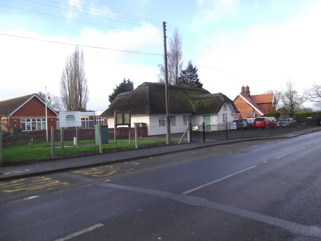
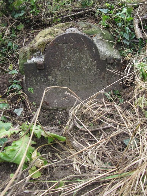
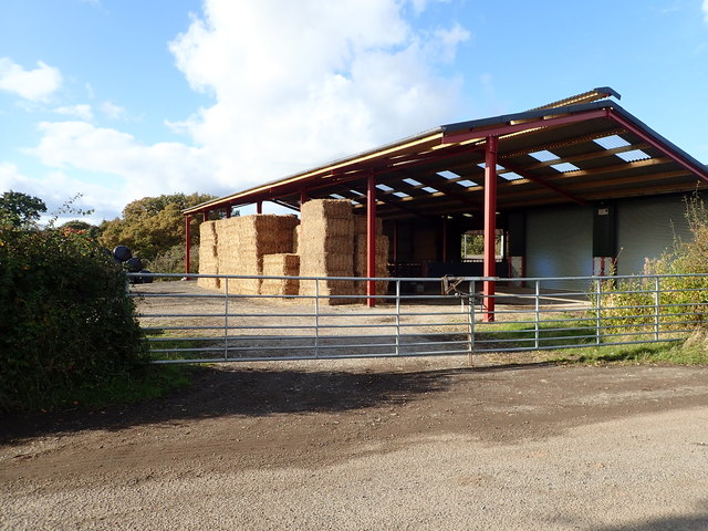
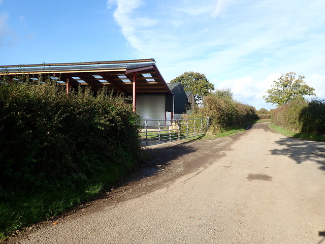
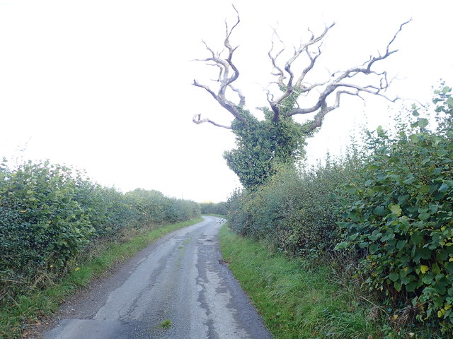
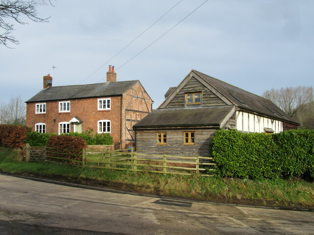
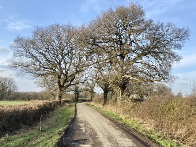
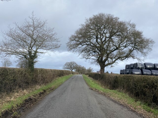
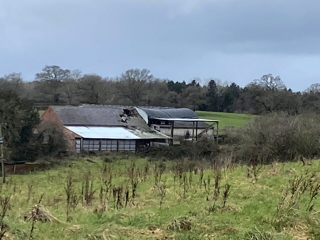
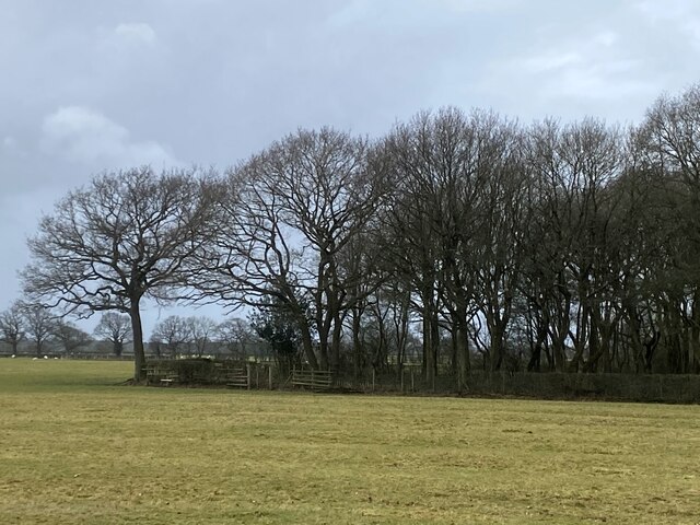
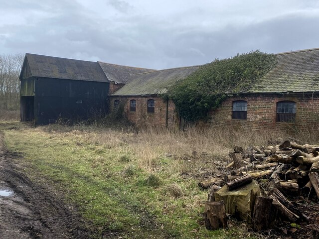
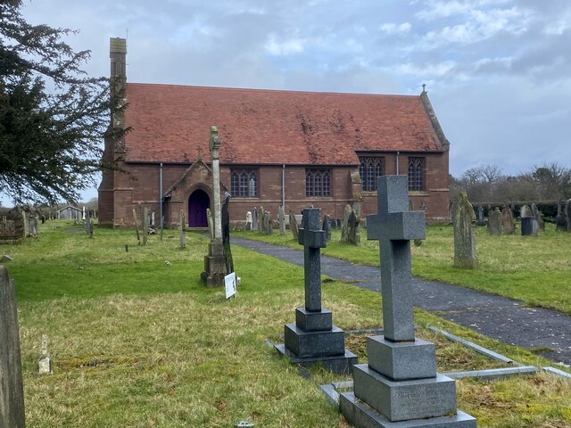
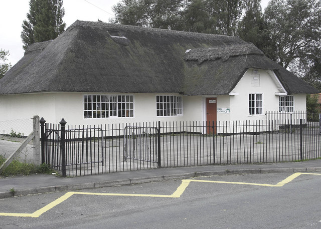
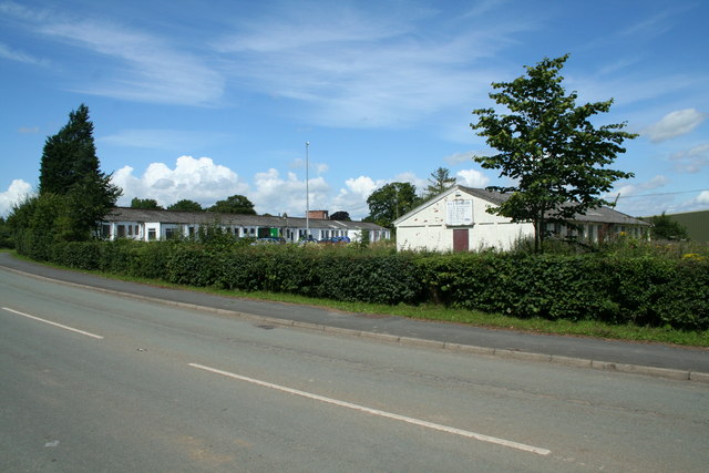
De Maelor Images
Images are sourced within 2km of 52.962104/-2.882681 or Grid Reference SJ4040. Thanks to Geograph Open Source API. All images are credited.

De Maelor is located at Grid Ref: SJ4040 (Lat: 52.962104, Lng: -2.882681)
Unitary Authority: Wrexham
Police Authority: North Wales
Also known as: Maelor South
What 3 Words
///serenade.commuting.thinker. Near Overton, Wrexham
Nearby Locations
Related Wikis
Penley Community Hospital
Penley Community Hospital (Welsh: Ysbyty Cymuned Llannerch Banna) is a former community hospital dedicated to Polish ex-servicemen in Penley, Wales. It...

Penley
Penley (Welsh: Llannerch Banna) is a village in the County Borough of Wrexham, in Wales close to the border with Shropshire, England, and had a population...

The Maelor School
The Maelor School, Penley (Welsh: Ysgol Maelor) is a mixed comprehensive school situated in the village of Penley, Wrexham County Borough, in north-east...
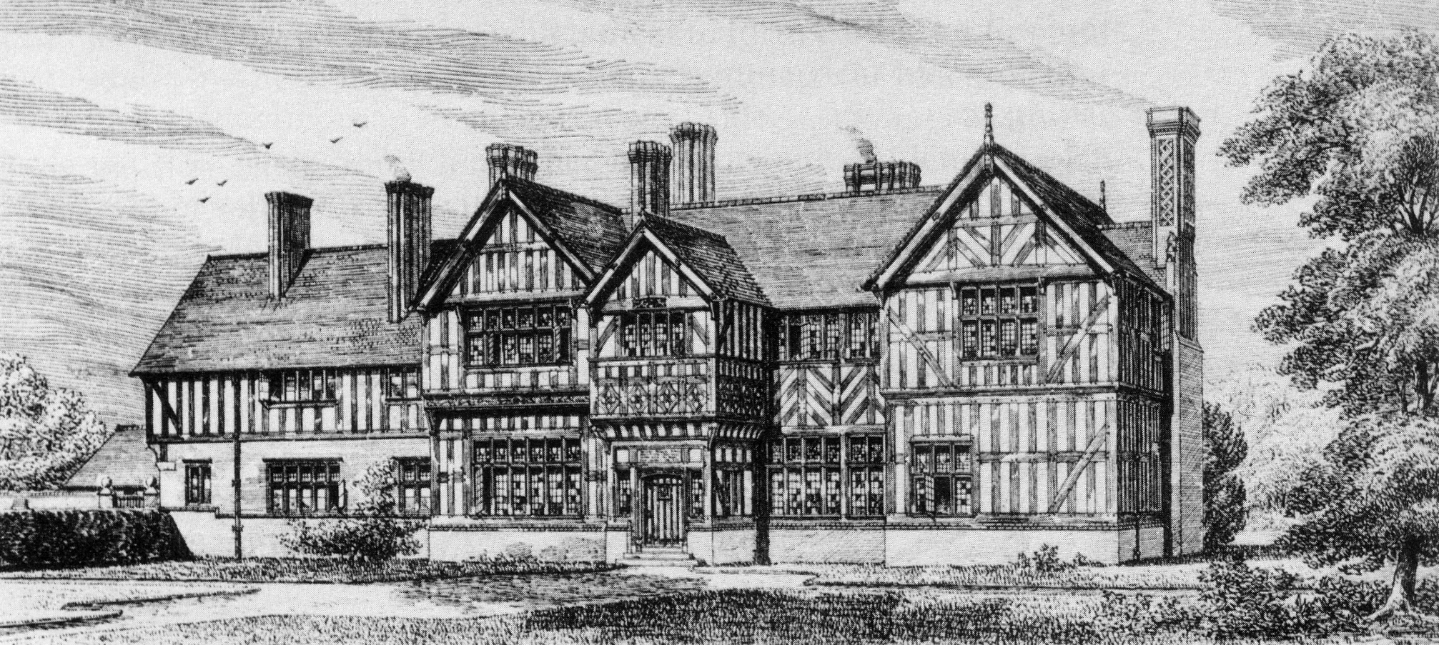
Tudor Court, Penley
Tudor Court is a house 0.5 miles (1 km) south of the village of Penley, Wrexham, Wales. It was originally called Llannerch Panna. == History == The house...
Nearby Amenities
Located within 500m of 52.962104,-2.882681Have you been to De Maelor?
Leave your review of De Maelor below (or comments, questions and feedback).