Bridge of Balgie
Settlement in Perthshire
Scotland
Bridge of Balgie

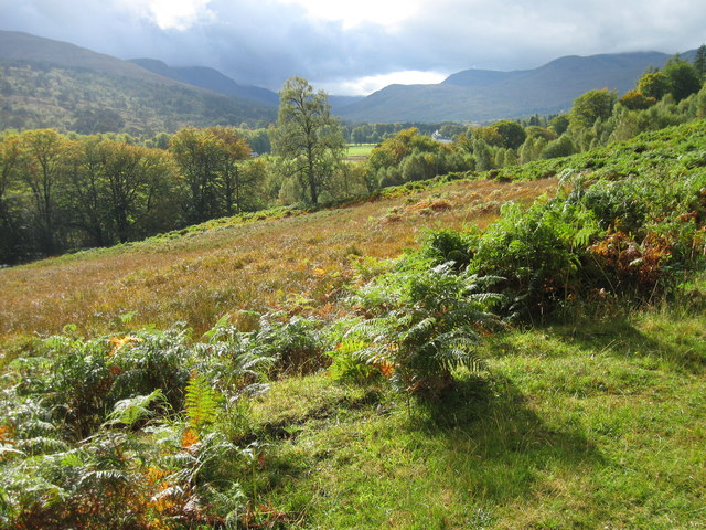
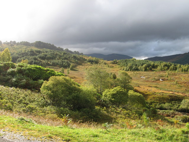
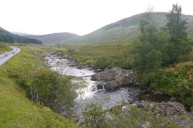
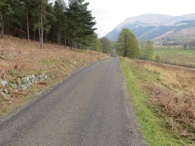
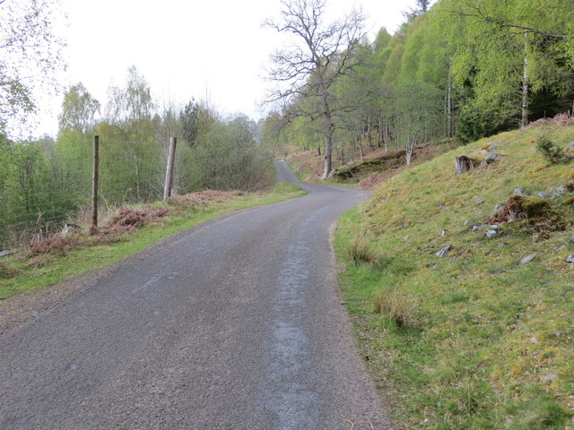
Bridge of Balgie is a small picturesque village located in the county of Perthshire, Scotland. Situated within the stunning surroundings of the Scottish Highlands, it is nestled on the banks of the River Lyon, offering breathtaking views of the surrounding landscapes.
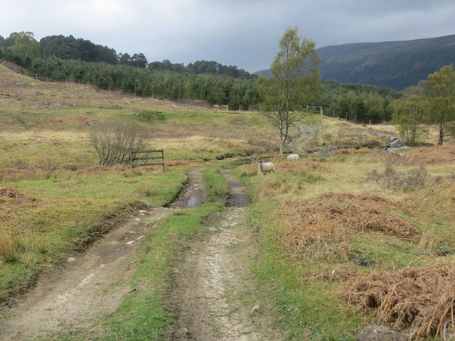
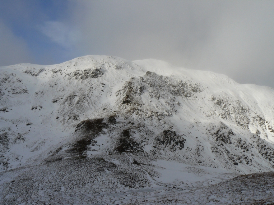
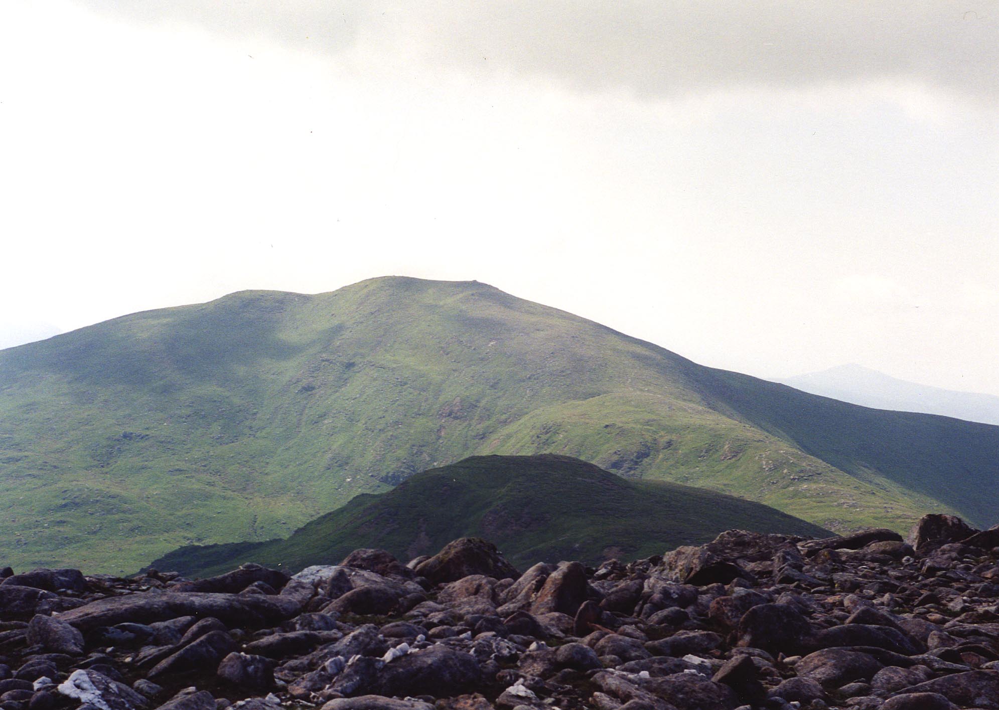
The village is known for its charming stone cottages, many of which date back to the 19th century, adding to its traditional and timeless character. Bridge of Balgie serves as a gateway to some of the most beautiful natural attractions in the area, including the nearby Ben Lawers National Nature Reserve, which boasts Scotland's highest mountain outside the Cairngorms.
Despite its small size, Bridge of Balgie is not without amenities. The village is home to a well-stocked general store, providing essentials and local produce to both residents and visitors alike. Additionally, there is a delightful tearoom where visitors can indulge in a selection of homemade cakes and freshly brewed tea while taking in the serene surroundings.
For outdoor enthusiasts, Bridge of Balgie offers a range of activities to enjoy. The River Lyon provides ample opportunities for fishing, with salmon and trout being popular catches. The surrounding hills and mountains also attract hikers and climbers, with trails catering to various levels of difficulty.
Bridge of Balgie is a haven for those seeking tranquility and natural beauty. Its idyllic location, combined with its warm community atmosphere, makes it a delightful destination for both day trips and longer stays in the heart of Perthshire.
If you have any feedback on the listing, please let us know in the comments section below.
Bridge of Balgie Images
Images are sourced within 2km of 56.58406/-4.3298716 or Grid Reference NN5746. Thanks to Geograph Open Source API. All images are credited.


Bridge of Balgie is located at Grid Ref: NN5746 (Lat: 56.58406, Lng: -4.3298716)
Unitary Authority: Perth and Kinross
Police Authority: Tayside
What 3 Words
///look.marmalade.buckling. Near Pubil, Perth & Kinross
Nearby Locations
Related Wikis

Bridge of Balgie
Bridge of Balgie is a hamlet in Glen Lyon (Perth & Kinross, Scotland) and lies at the junction between the east–west single track road along the foot of...

Meggernie Castle
Meggernie Castle is a castle in the heart of Perth and Kinross, in central Scotland. It is located halfway up Glenlyon, where the river Lyon flows through...

Glen Lyon
Glen Lyon (Scottish Gaelic: Gleann Lìomhann) is a glen in the Perth and Kinross region of Scotland. It is the longest enclosed glen in Scotland and runs...
Beinn nan Oighreag
Beinn nan Oighreag (910 m) is a mountain in the Grampian Mountains of Scotland. It lies between Glen Lyon and Glen Lochay, on the border of Perthshire...

Meall Corranaich
Meall Corranaich (Scottish Gaelic: Meall Choire Inich) is a mountain with a height of 1,069 metres (3,507 ft) in the Grampian Mountains of Scotland. It...
Meall nan Tarmachan
Meall nan Tarmachan (Scottish Gaelic: [ˈmjaul̪ˠ nən̪ˠ ˈt̪aɾaməxan]) is a mountain in the Southern Highlands of Scotland near Killin just west of Ben Lawers...

An Stùc
An Stùc, meaning "The Peak" in Gaelic, is a conically shaped Scottish mountain in the Ben Lawers range to the north of Loch Tay. It has been listed as...
Càrn Gorm
Càrn Gorm is a mountain in the Breadalbane region of the Scottish Highlands, with a height of 1,029 metres (3,376 ft). It stands in a group of four Munro...
Nearby Amenities
Located within 500m of 56.58406,-4.3298716Have you been to Bridge of Balgie?
Leave your review of Bridge of Balgie below (or comments, questions and feedback).