Llanilltud Faerdref

Community in Glamorgan

Wales

Llanilltud Faerdref

Road from A473 to Llantwit Fardre
Road from A473 to Llantwit Fardre Credit: David Smith

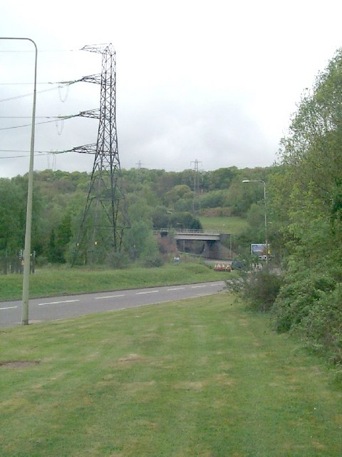
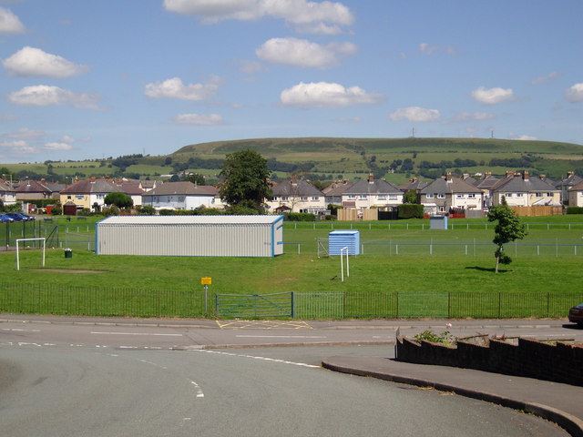
Llanilltud Faerdref is a small community located in the county of Glamorgan, Wales. Situated in the Vale of Glamorgan, it is nestled between the towns of Cowbridge and Llantwit Major. The community covers an area of approximately 3 square miles and is home to a population of around 500 residents.

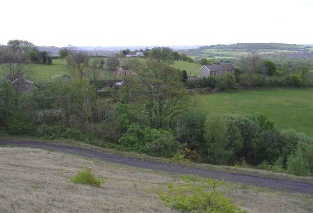
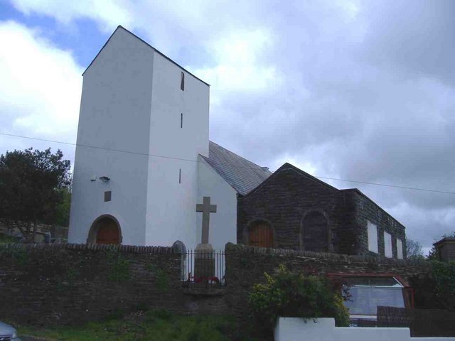
The area is known for its picturesque countryside, with rolling hills and farmland providing a beautiful backdrop to the community. Llanilltud Faerdref is also rich in history, being named after the ancient Celtic saint, Illtud, who founded a monastery in the area during the 5th century. The remains of this monastery can still be seen today, with the Grade I listed St. Illtud's Church serving as a reminder of the community's past.

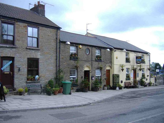
The community is primarily residential, with a mix of traditional cottages and modern houses. There are a few local amenities, including a primary school, a village hall, and a small convenience store. However, residents often rely on the nearby towns for more extensive services and facilities.

Llanilltud Faerdref benefits from its rural location, providing a peaceful and tranquil environment for residents. The surrounding countryside offers opportunities for outdoor activities, such as hiking, cycling, and horse riding. The community also benefits from its proximity to the coast, with popular beaches just a short drive away.

In summary, Llanilltud Faerdref is a small and historic community in Glamorgan, Wales. With its beautiful countryside, rich history, and peaceful atmosphere, it offers a charming place to call home.

If you have any feedback on the listing, please let us know in the comments section below.

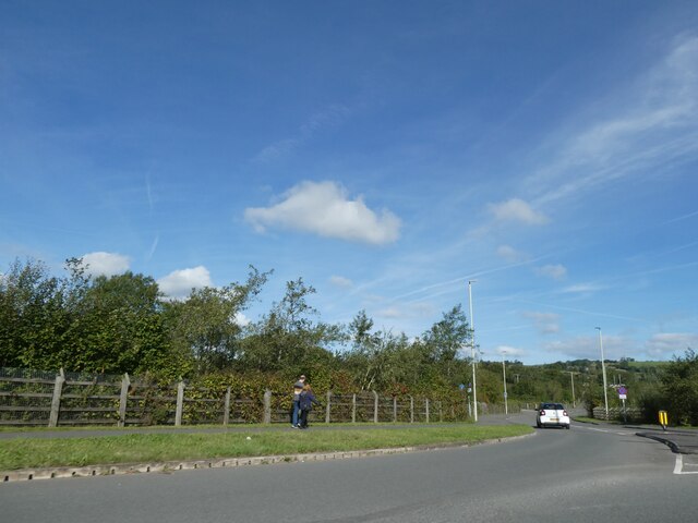
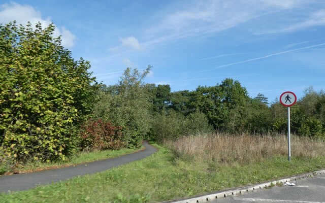
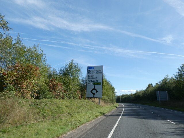
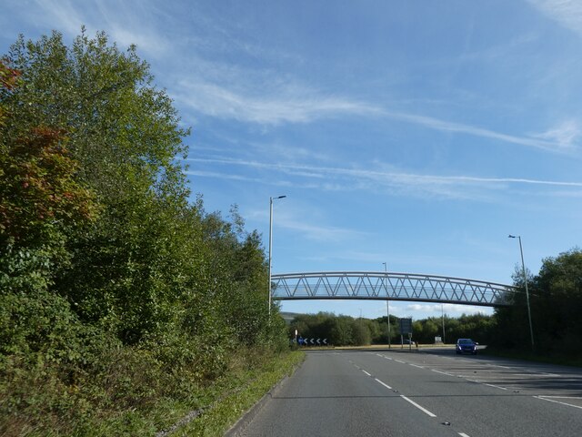
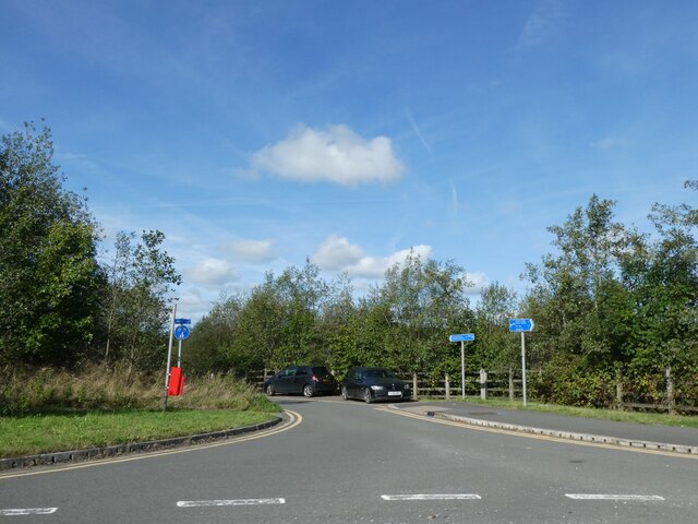
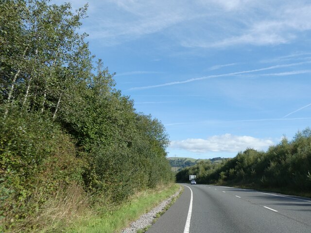
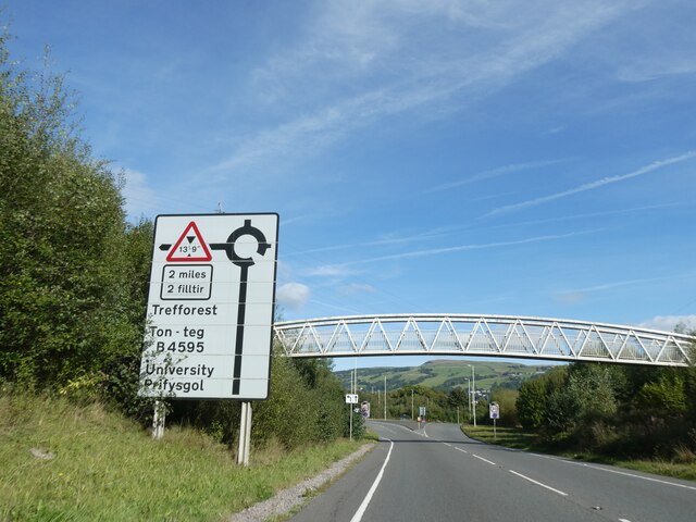
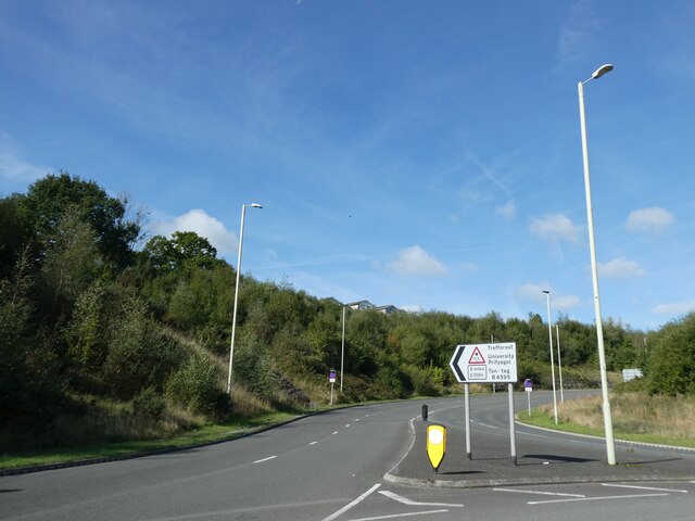
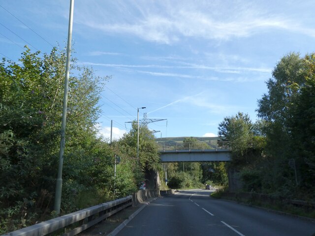
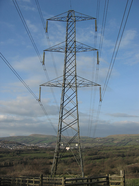
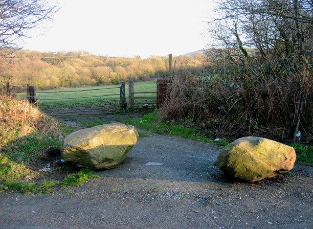
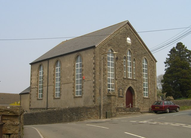
Llanilltud Faerdref Images

Images are sourced within 2km of 51.560991/-3.315995 or Grid Reference ST0885. Thanks to Geograph Open Source API. All images are credited.

Road from A473 to Llantwit Fardre
Cycle path along by A473 south of Llantwit Fardre
Footbridge over A473 This provides a short route between Efail Isaf and Llantwit Fardre;
Footbridge over A473
This provides a short route between Efail Isaf and Llantwit Fardre;
Advance sign for roundabout on A473, by-passing Efail Isaf
Footbridge over A473 south of Llantwit Fardre It provides a safe route across the main road avoiding the roundabout
Footbridge over A473 south of Llantwit Fardre
It provides a safe route across the main road avoiding the roundabout
Small parking area by roundabout on A473
A473 east of Ton-Teg
Footbridge over A473 east of Ton-Teg
B4595 leading off A473, Ton-Teg
Railway bridge over A473, Ton-Teg
Electric Pylon Pylon located to the north of minor road, east of Efail Isaf , Llantwit Fardre, South Wales
Electric Pylon
Pylon located to the north of minor road, east of Efail Isaf , Llantwit Fardre, South Wales
Boulders Boulders at entrance to field, on minor road, east of Ton - Teg, near Church Village, South Wales.
Boulders
Boulders at entrance to field, on minor road, east of Ton - Teg, near Church Village, South Wales.
Capel y Tabernacl In Efail Isaf village
Capel y Tabernacl
In Efail Isaf village
Unit UB1, Treforest Industrial Estate
Tonteg Road, Treforest Railway Bridge at the foot of Power Station Hill
Tonteg Road, Treforest
Railway Bridge at the foot of Power Station Hill
Farmland, above Llantwit Fardre
The Farmer's Arms, Upper Church Village
St Illtud Church, Upper Church Village St Illtud Parish Church is on a site that has been used for worship since the fifth century although the present building only dates from the sixteenth century. The tower dates from 1636; the register from 1632, whilst the bell was cast during the nineteenth century. It was restored and rededicated in 1974.
St Illtud Church, Upper Church Village
St Illtud Parish Church is on a site that has been used for worship since the fifth century although the present building only dates from the sixteenth century. The tower dates from 1636; the register from 1632, whilst the bell was cast during the nineteenth century. It was restored and rededicated in 1974.
Show me another place!

Llanilltud Faerdref is located at Grid Ref: ST0885 (Lat: 51.560991, Lng: -3.315995)

Unitary Authority: Rhondda Cynon Taf

Police Authority: South Wales

Also known as: Llantwit Fardre

What 3 Words

///fears.flattery.delved. Near Llantwit Fardre, Rhondda Cynon Taf

Related Wikis

Church Village Halt railway station

Church Village Halt railway station was a small halt on the Llantrisant and Taff Vale Junction Railway. The station was just south of the crossroads in...

Efail Isaf railway station

Efail Isaf railway station was a former railway station in Efail Isaf in south Wales. It was on the Barry Railway between Tonteg and Wenvoe, which ran...

Ysgol Garth Olwg

Ysgol Garth Olwg (previously named Ysgol Gyfun Rhydfelen and Ysgol Gyfun Garth Olwg), English Garth Olwg School is a Welsh-medium comprehensive school...

Tonteg

Tonteg is a village around 3.7 miles (6 km) from Pontypridd, south Wales. It is 9 miles (14.5 km) north west of Cardiff and four miles (6.5 km) north...

Nearby Amenities

Located within 500m of 51.560991,-3.315995
Traffic Signals
Traffic Signals: signal
Lat/Long: 51.5643003/-3.3198971
Barrier: kissing_gate
Lat/Long: 51.5600926/-3.3216305
Pub
Fagins
Addr Postcode: CF38 1PY
Addr Street: Main Road
Fhrs Id: 867910
Lat/Long: 51.5644387/-3.3198032
Pharmacy
Well Pharmacy
Addr City: Church Village
Addr Housenumber: 1
Addr Postcode: CF38 1PY
Addr Street: Main Road
Brand: Well Pharmacy
Brand Wikidata: Q7726524
Dispensing: yes
Healthcare: pharmacy
Website: https://finder.well.co.uk/store/church-village-main-road
Lat/Long: 51.5644978/-3.3193542
Fast Food
Pizza Delight
Addr Postcode: CF38 1RN
Addr Street: Main Road
Fhrs Id: 123285
Lat/Long: 51.5643531/-3.319219
Bus Stop
Lat/Long: 51.5647997/-3.318586
Bus Stop
Lat/Long: 51.5645089/-3.318567
Fast Food
Diamond House Chinese Take Away
Addr Housenumber: 4
Addr Postcode: CF38 1PY
Addr Street: Main Road
Fhrs Id: 1249674
Lat/Long: 51.5645329/-3.3192389
Restaurant
Zeera Indian Takeaway
Addr City: Church Village
Addr Housenumber: 2
Addr Postcode: CF38 1DB
Addr Street: St Illtyd Road
Cuisine: indian
Phone: +441443 217642
Website: http://www.zeeraindiantakeaway.com
Lat/Long: 51.5645237/-3.3199824
Church Village
Name Cy: Pentre'r Eglwys
Place: village
Population: 13783
Wikidata: Q5116731
Lat/Long: 51.5644042/-3.3204149
Power: tower
Source: Bing
Lat/Long: 51.5618083/-3.3139336
Power: tower
Source: Bing
Lat/Long: 51.5638625/-3.3113051
Power: tower
Source: Bing
Lat/Long: 51.5579196/-3.3191264
Barrier: kissing_gate
Lat/Long: 51.560922/-3.3230826
Restaurant
Fagins Restaurant
Lat/Long: 51.5644428/-3.3198718
Fast Food
Gourmet House Chinese Take Away
Lat/Long: 51.5641161/-3.3198476
Bus Stop
Church Village, Station Road (NW), (On Station Road)
Local Ref: rhoapaw
Lat/Long: 51.5640543/-3.3197108
Bus Stop
Church Village, Station Road (SE), (On Station Road)
Local Ref: rhoapda
Lat/Long: 51.5641528/-3.319687
Bank
Lloyds Bank
Addr City: Pontypridd
Addr Country: GB
Addr Postcode: CF38 1RL
Addr Street: Main Road
Atm: yes
Brand: Lloyds Bank
Brand Wikidata: Q1152847
Brand Wikipedia: en:Lloyds Bank
Contact Website: https://branches.lloydsbank.com/church-village/main-road
Lat/Long: 51.5641267/-3.320781
Barrier: stile
Lat/Long: 51.5575276/-3.3147371
Barrier: cycle_barrier
Lat/Long: 51.5593027/-3.3130354
Barrier: kissing_gate
Lat/Long: 51.5600492/-3.3229878
Barrier: kissing_gate
Lat/Long: 51.5608328/-3.3198703
Direction: WSW
Generator Method: photovoltaic
Generator Output Electricity: yes
Generator Solar Modules: 12
Generator Source: solar
Generator Type: solar_photovoltaic_panel
Location: roof
Power: generator
Lat/Long: 51.5653089/-3.3156455
Direction: WSW
Generator Method: photovoltaic
Generator Output Electricity: yes
Generator Solar Modules: 12
Generator Source: solar
Generator Type: solar_photovoltaic_panel
Location: roof
Power: generator
Lat/Long: 51.565043/-3.3154008
Direction: 255
Generator Method: photovoltaic
Generator Output Electricity: yes
Generator Solar Modules: 15
Generator Source: solar
Generator Type: solar_photovoltaic_panel
Location: roof
Power: generator
Lat/Long: 51.5627403/-3.3171067
Hairways
Phone: +441443 201565
Shop: hairdresser
Lat/Long: 51.5642551/-3.3193145
Efail Isaf
Historic Railway: station
Railway: site
Wikidata: Q5347185
Wikipedia: en:Efail Isaf railway station
Lat/Long: 51.556606/-3.3167171
Church Village
Historic Railway: station
Railway: site
Wikidata: Q5116730
Wikipedia: en:Church Village Halt railway station
Lat/Long: 51.5636543/-3.3198132
Direction: SSE
Generator Method: photovoltaic
Generator Output Electricity: yes
Generator Solar Modules: 18
Generator Source: solar
Generator Type: solar_photovoltaic_panel
Location: roof
Power: generator
Lat/Long: 51.5652698/-3.3149757
Direction: SSE
Generator Method: photovoltaic
Generator Output Electricity: yes
Generator Solar Modules: 11
Generator Source: solar
Generator Type: solar_photovoltaic_panel
Location: roof
Power: generator
Lat/Long: 51.565118/-3.3143648
Direction: SSE
Generator Method: photovoltaic
Generator Output Electricity: yes
Generator Solar Modules: 11
Generator Source: solar
Generator Type: solar_photovoltaic_panel
Location: roof
Power: generator
Lat/Long: 51.5650976/-3.3144566
Direction: SSE
Generator Method: photovoltaic
Generator Output Electricity: yes
Generator Solar Modules: 12
Generator Source: solar
Generator Type: solar_photovoltaic_panel
Location: roof
Power: generator
Lat/Long: 51.5650655/-3.3145867
Direction: SSE
Generator Method: photovoltaic
Generator Output Electricity: yes
Generator Solar Modules: 10
Generator Source: solar
Generator Type: solar_photovoltaic_panel
Location: roof
Power: generator
Lat/Long: 51.5623719/-3.3192498
Direction: SSE
Generator Method: photovoltaic
Generator Output Electricity: yes
Generator Solar Modules: 12
Generator Source: solar
Generator Type: solar_photovoltaic_panel
Location: roof
Power: generator
Lat/Long: 51.5620292/-3.3188501
Direction: 145
Generator Method: photovoltaic
Generator Output Electricity: yes
Generator Solar Modules: 11
Generator Source: solar
Generator Type: solar_photovoltaic_panel
Location: roof
Power: generator
Lat/Long: 51.562/-3.3189601
Direction: 255
Generator Method: photovoltaic
Generator Output Electricity: yes
Generator Solar Modules: 7
Generator Source: solar
Generator Type: solar_photovoltaic_panel
Location: roof
Power: generator
Lat/Long: 51.5598206/-3.3168371
Direction: 75
Generator Method: photovoltaic
Generator Output Electricity: yes
Generator Solar Modules: 7
Generator Source: solar
Generator Type: solar_photovoltaic_panel
Location: roof
Power: generator
Lat/Long: 51.5598431/-3.3168116
Direction: 357.5
Generator Method: photovoltaic
Generator Output Electricity: yes
Generator Solar Modules: 8
Generator Source: solar
Generator Type: solar_photovoltaic_panel
Location: roof
Power: generator
Lat/Long: 51.5603684/-3.3170208
Direction: 172.5
Generator Method: photovoltaic
Generator Output Electricity: yes
Generator Solar Modules: 8
Generator Source: solar
Generator Type: solar_photovoltaic_panel
Location: roof
Power: generator
Lat/Long: 51.5603409/-3.3170161
Direction: SE
Generator Method: photovoltaic
Generator Output Electricity: yes
Generator Solar Modules: 12
Generator Source: solar
Generator Type: solar_photovoltaic_panel
Location: roof
Power: generator
Lat/Long: 51.5645003/-3.3170745
Direction: SE
Generator Method: photovoltaic
Generator Output Electricity: yes
Generator Solar Modules: 12
Generator Source: solar
Generator Type: solar_photovoltaic_panel
Location: roof
Power: generator
Lat/Long: 51.5645995/-3.3168854
Direction: SSE
Generator Method: photovoltaic
Generator Output Electricity: yes
Generator Solar Modules: 12
Generator Source: solar
Generator Type: solar_photovoltaic_panel
Location: roof
Power: generator
Lat/Long: 51.562206/-3.3212762
Direction: WSW
Generator Method: photovoltaic
Generator Output Electricity: yes
Generator Solar Modules: 4
Generator Source: solar
Generator Type: solar_photovoltaic_panel
Location: roof
Power: generator
Lat/Long: 51.5622183/-3.3213439
Direction: 175
Generator Method: photovoltaic
Generator Output Electricity: yes
Generator Solar Modules: 12
Generator Source: solar
Generator Type: solar_photovoltaic_panel
Location: roof
Power: generator
Lat/Long: 51.563083/-3.31792
Direction: S
Generator Method: photovoltaic
Generator Output Electricity: yes
Generator Solar Modules: 13
Generator Source: solar
Generator Type: solar_photovoltaic_panel
Location: roof
Power: generator
Lat/Long: 51.5634707/-3.3210602
Crossing
Lat/Long: 51.5592259/-3.3158476
Booth: K6
Covered: booth
Disused Amenity: telephone
Man Made: telephone_box
Operator: Llantwit Fardre Community Council
Lat/Long: 51.5644712/-3.3190671
Noexit: yes
Lat/Long: 51.5613903/-3.3146194
Noexit: yes
Lat/Long: 51.5613513/-3.3146699
The data included in this document is from www.openstreetmap.org. The data is made available under ODbL.

Have you been to Llanilltud Faerdref?

Leave your review of Llanilltud Faerdref below (or comments, questions and feedback).