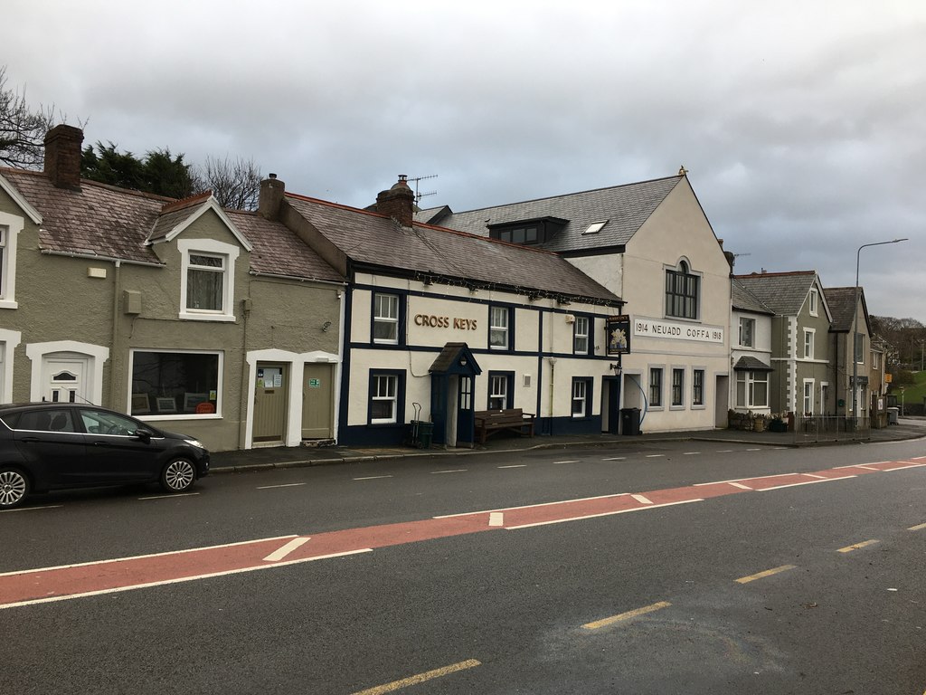
Llansanffraid Glan Conwy
Community in Denbighshire
Wales
Llansanffraid Glan Conwy

The requested URL returned error: 429 Too Many Requests
If you have any feedback on the listing, please let us know in the comments section below.
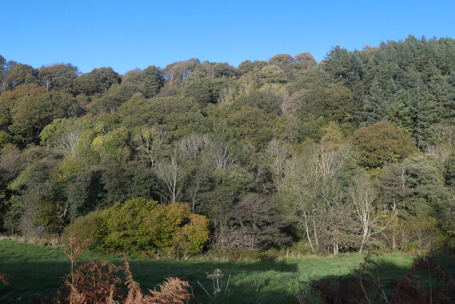
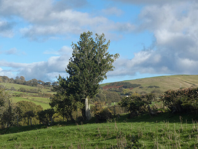
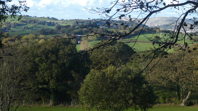
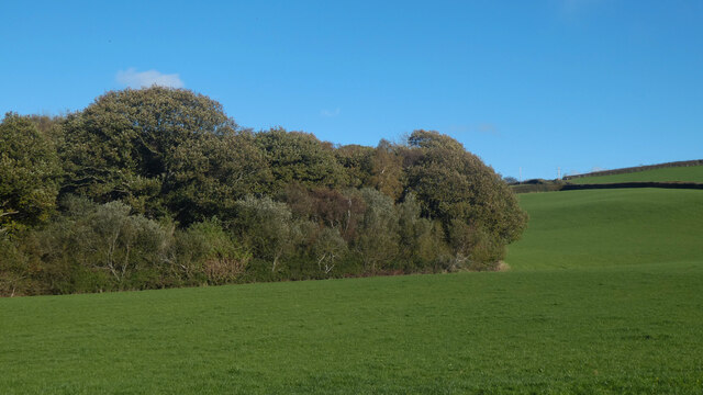
Llansanffraid Glan Conwy Images
Images are sourced within 2km of 53.258625/-3.782365 or Grid Reference SH8174. Thanks to Geograph Open Source API. All images are credited.


Llansanffraid Glan Conwy is located at Grid Ref: SH8174 (Lat: 53.258625, Lng: -3.782365)
Unitary Authority: Conwy
Police Authority: North Wales
What 3 Words
///gossip.glades.treaty. Near Llansantffraid Glan Conwy, Conwy
Nearby Locations
Related Wikis
Glan Conwy
Llansanffraid Glan Conwy (Welsh pronunciation: [ɬansanˈfrai̯d ˌɡlan ˈkɔnʊɨ̯]), usually shortened to Glan Conwy, is a village, community and electoral ward...
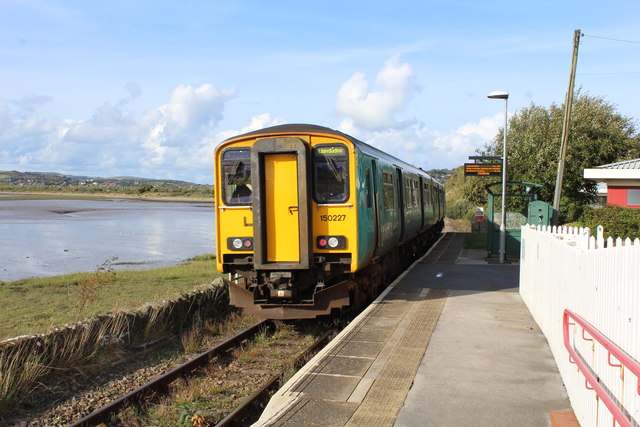
Glan Conwy railway station
Glan Conwy railway station is on the east bank of the River Conwy on the A470 road in the centre of the village of Llansanffraid Glan Conwy, Wales and...

Conwy RSPB reserve
Conwy RSPB reserve is a nature reserve of the Royal Society for the Protection of Birds situated on the east side of the Conwy estuary in Conwy county...
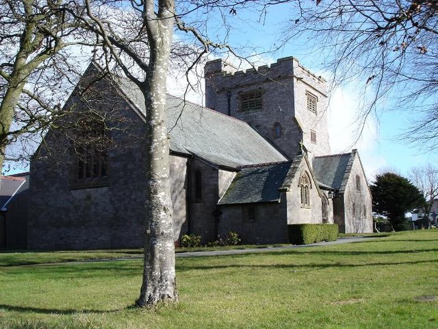
Christ Church, Bryn-y-Maen
Christ Church, Bryn-y-Maen is in the small village of Bryn-y-Maen on the B5113 road some 3 km to the south of Colwyn Bay in Conwy County Borough, Wales...
Nearby Amenities
Located within 500m of 53.258625,-3.782365Have you been to Llansanffraid Glan Conwy?
Leave your review of Llansanffraid Glan Conwy below (or comments, questions and feedback).