Bridge Hewick

Settlement in Yorkshire Harrogate

England

Bridge Hewick

Old milepost One of the two remaining mileposts along this 6 mile stretch of the B6265, this is how the photographer found it in March 2022.  When it was first recorded in 2006 it was already very sunken in this narrow verge.
Old milepost Credit: Hilary Jones

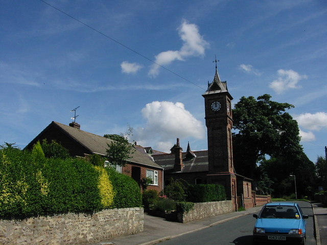
Bridge Hewick is a small village located in the county of Yorkshire, England. Situated on the banks of the River Ure, it lies approximately 4 miles east of the market town of Ripon. The village is part of the Harrogate district and falls within the civil parish of Ripon.

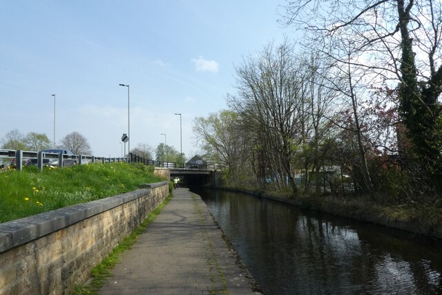
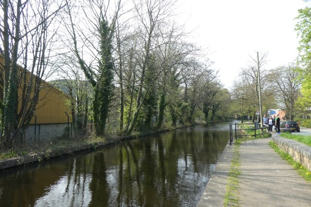
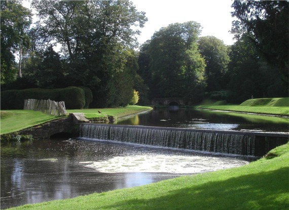
The name "Bridge Hewick" is derived from its historical significance as a crossing point over the River Ure. The village is known for its picturesque setting, with charming cottages and traditional stone buildings nestled among lush green fields and rolling hills.

Despite its small size, Bridge Hewick offers a range of amenities for its residents and visitors. The village is home to a local pub, providing a cozy setting for socializing and enjoying traditional Yorkshire cuisine. Additionally, there are several bed and breakfast accommodations available for those wishing to explore the surrounding area.

One of the main attractions near Bridge Hewick is the nearby Fountains Abbey and Studley Royal Water Garden, a UNESCO World Heritage Site. This stunning medieval abbey ruins and ornamental water gardens offer a glimpse into the region's rich history and provide a tranquil space for leisurely walks.

The village itself is well-connected, with easy access to major roads and transportation links. The nearby A1(M) motorway ensures convenient travel to larger cities such as Leeds and York.

Overall, Bridge Hewick is a charming and idyllic village that offers a peaceful retreat from the hustle and bustle of larger towns. Its scenic beauty, historical landmarks, and convenient location make it a desirable destination for both locals and tourists alike.

If you have any feedback on the listing, please let us know in the comments section below.

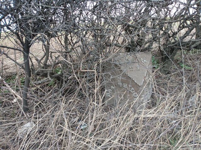
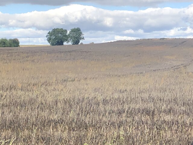
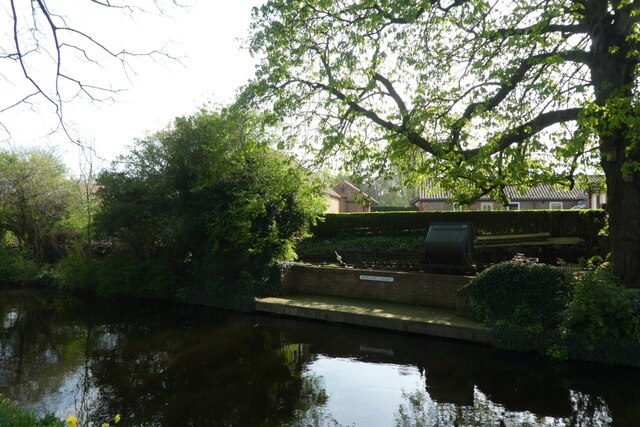
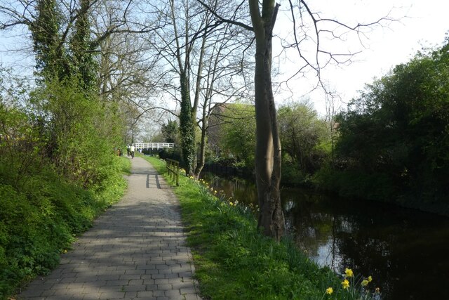
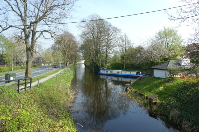
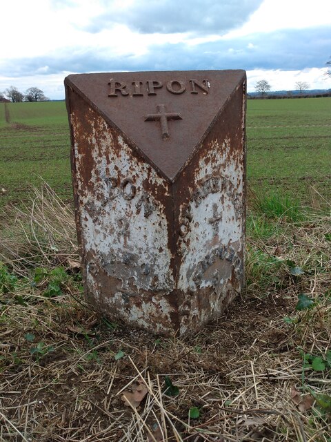
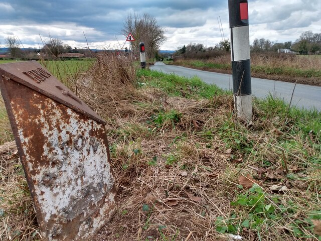
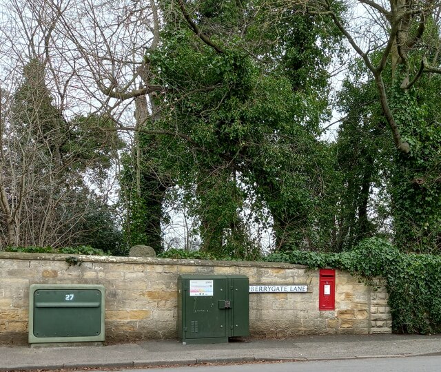
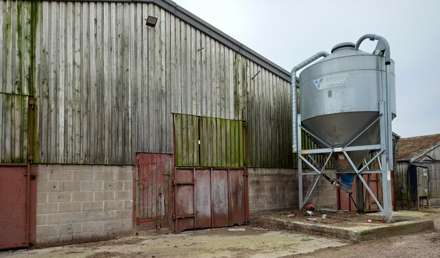
Bridge Hewick Images

Images are sourced within 2km of 54.12695/-1.488415 or Grid Reference SE3370. Thanks to Geograph Open Source API. All images are credited.

Old milepost One of the two remaining mileposts along this 6 mile stretch of the B6265, this is how the photographer found it in March 2022.  When it was first recorded in 2006 it was already very sunken in this narrow verge.
Old milepost
One of the two remaining mileposts along this 6 mile stretch of the B6265, this is how the photographer found it in March 2022. When it was first recorded in 2006 it was already very sunken in this narrow verge.
Old milepost After 25 minutes of clearing vegetation and soil by the photographer this milepost is now more visible.  As the verge at this point is only about a metre wide it may be difficult to completely refurbish it safely.  It is one of 14 known survivors of mileposts made by J Ingram, Ripon which are on the A61 from Ripon to Harrogate and the B6265 from Boroughbridge through Ripon to Pateley Bridge.
Old milepost
After 25 minutes of clearing vegetation and soil by the photographer this milepost is now more visible. As the verge at this point is only about a metre wide it may be difficult to completely refurbish it safely. It is one of 14 known survivors of mileposts made by J Ingram, Ripon which are on the A61 from Ripon to Harrogate and the B6265 from Boroughbridge through Ripon to Pateley Bridge.
Crop ready for harvesting Looks like some kind of vetch to me
Crop ready for harvesting
Looks like some kind of vetch to me
Canal near Ripon Bypass Looking along Ripon Canal as it passes under the bypass.
Canal near Ripon Bypass
Looking along Ripon Canal as it passes under the bypass.
Towpath beside the canal Looking along Ripon Canal as it runs parallel to Boroughbridge Road.
Towpath beside the canal
Looking along Ripon Canal as it runs parallel to Boroughbridge Road.
Canal and railway Looking across the Ripon Canal to a house with a narrow gauge railway in the garden.
Canal and railway
Looking across the Ripon Canal to a house with a narrow gauge railway in the garden.
Towpath along Ripon Canal Looking along part of the Ripon Canal Towpath to the east of the bypass.
Towpath along Ripon Canal
Looking along part of the Ripon Canal Towpath to the east of the bypass.
Ripon Canal from a footbridge Looking away from Ripon along the canal.
Ripon Canal from a footbridge
Looking away from Ripon along the canal.
Ripon, Bondgate The benchmark is cut into the roadside wall on the north side of Bondgate. The mark is to the right of the entrance to a builders' merchant.
Ripon, Bondgate
The benchmark is cut into the roadside wall on the north side of Bondgate. The mark is to the right of the entrance to a builders' merchant.
Ripon, Bondgate There is a benchmark cut into the roadside wall on the north side of Bondgate. The mark is to the right of the entrance to the builders' merchant.
Ripon, Bondgate
There is a benchmark cut into the roadside wall on the north side of Bondgate. The mark is to the right of the entrance to the builders' merchant.
Ripon, Boroughbridge Road According to the OS benchmark database there is a benchmark cut into the roadside wall on the north side of the road and opposite the office block. The verge has thick evergreen vegetation, and struggled to find the wall! Nothing found.
Ripon, Boroughbridge Road
According to the OS benchmark database there is a benchmark cut into the roadside wall on the north side of the road and opposite the office block. The verge has thick evergreen vegetation, and struggled to find the wall! Nothing found.
Old milepost One of only two mileposts on the 5 miles of minor road between Ripon and Dishforth.  It is about 100m east of Strait Lane into Copt Hewick.   It is exposed to the weather from the north.  The legends which can just be made out are RIPON/2/SHAROW/½ on the left face and COPT-HEWICK/½/DISHFORTH/3 on the right.  Probably cast at the J Ingram foundry in Ripon.
Old milepost
One of only two mileposts on the 5 miles of minor road between Ripon and Dishforth. It is about 100m east of Strait Lane into Copt Hewick. It is exposed to the weather from the north. The legends which can just be made out are RIPON/2/SHAROW/½ on the left face and COPT-HEWICK/½/DISHFORTH/3 on the right. Probably cast at the J Ingram foundry in Ripon.
Old milepost The Ripon 2 milepost leaning back.   In March the dead grass trampled down but in summer lost in tall wayside vegetation.  In the distance on the righthand side of the road can just be made out the white road sign for Strait Lane into Copt Hewick
Old milepost
The Ripon 2 milepost leaning back. In March the dead grass trampled down but in summer lost in tall wayside vegetation. In the distance on the righthand side of the road can just be made out the white road sign for Strait Lane into Copt Hewick
Sharow, St John's church The bolt benchmark is cut into the south face of the church tower.
Sharow, St John's church
The bolt benchmark is cut into the south face of the church tower.
Sharow, Berrygate Lane The badly eroded benchmark is cut into the roadside wall to the right of the postbox.
Sharow, Berrygate Lane
The badly eroded benchmark is cut into the roadside wall to the right of the postbox.
Sharow, Berrygate Lane There is a badly eroded benchmark cut into the roadside wall to the right of the postbox, and to the left of the join in the wall.
Sharow, Berrygate Lane
There is a badly eroded benchmark cut into the roadside wall to the right of the postbox, and to the left of the join in the wall.
Sharow, High Barn Farm According to the OS benchmark database there is a benchmark cut into the north-east face of this farm building. Stood on the PROW nothing could be seen.
Sharow, High Barn Farm
According to the OS benchmark database there is a benchmark cut into the north-east face of this farm building. Stood on the PROW nothing could be seen.
Copt Hewick, Pumping Station The benchmark is cut into the north-east facing wall of the village Yorkshire Water pumping station.
Copt Hewick, Pumping Station
The benchmark is cut into the north-east facing wall of the village Yorkshire Water pumping station.
Show me another place!

Bridge Hewick is located at Grid Ref: SE3370 (Lat: 54.12695, Lng: -1.488415)

Division: West Riding

Administrative County: North Yorkshire

District: Harrogate

Police Authority: North Yorkshire

What 3 Words

///yoga.mills.impulse. Near Ripon, North Yorkshire

Nearby Locations

Bridge Hewick Sharow Mires

Related Wikis

Bridge Hewick

Bridge Hewick is a village and civil parish in the Harrogate district of North Yorkshire, England. The village is situated on the River Ure, and approximately...

Ripon Racecourse

Ripon Racecourse is a thoroughbred horse racing venue located in Ripon, North Yorkshire, England and is nicknamed the Garden Racecourse. == History... ==

Copt Hewick

Copt Hewick is a village and civil parish in the Harrogate district of North Yorkshire, England. The village lies about two miles east of Ripon. It had...

River Skell

The River Skell is a 12-mile-long (19 km) tributary of the River Ure in North Yorkshire, England. Its source is in boggy ground on moorland 2 miles (3...

Nearby Amenities

Located within 500m of 54.12695,-1.488415
Bridge Hewick
Is In: UK,England,Yorkshire,North Yorkshire
Place: hamlet
Lat/Long: 54.1299037/-1.4848621
Created By: Merkaartor 0.13
Lat/Long: 54.1255425/-1.4864628
Created By: Merkaartor 0.13
Lat/Long: 54.1249799/-1.4858545
Created By: Merkaartor 0.13
Lat/Long: 54.1246431/-1.4856387
Created By: Merkaartor 0.13
Lat/Long: 54.1239581/-1.4853378
Waterway: weir
Lat/Long: 54.1266411/-1.4930562
Post Box
Post Box Type: wall
Ref: HG4 34
Royal Cypher: GR
Royal Cypher Wikidata: Q33102273
Lat/Long: 54.1269041/-1.4896884
The data included in this document is from www.openstreetmap.org. The data is made available under ODbL.

Have you been to Bridge Hewick?

Leave your review of Bridge Hewick below (or comments, questions and feedback).