Llansadwrn

Community in Carmarthenshire

Wales

Llansadwrn

Sticil ysgol Llansadwrn / Llansadwrn ladder tile Sticil ysgol yn croesi wal gerrig sych ger Llansadwrn

A ladder stile crossing a drystone wall near Llansadwrn
Sticil ysgol Llansadwrn / Llansadwrn ladder tile Credit: Alan Richards

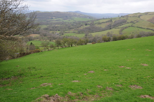
Llansadwrn is a small community located in the county of Carmarthenshire, Wales. It is situated in the picturesque Towy Valley, surrounded by lush green countryside and rolling hills. The community is located approximately 9 miles east of the town of Carmarthen.

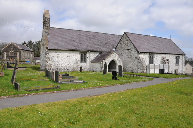
Llansadwrn is a historic village with a rich heritage. It is home to the Grade II listed Llansadwrn Church, which dates back to the 13th century and features beautiful stained glass windows and intricate stone carvings. The church is a popular attraction for tourists and history enthusiasts.

The community of Llansadwrn is known for its close-knit and friendly atmosphere. It has a small population, with a mix of families and retirees. The village has a strong sense of community spirit, with various social and cultural events taking place throughout the year.

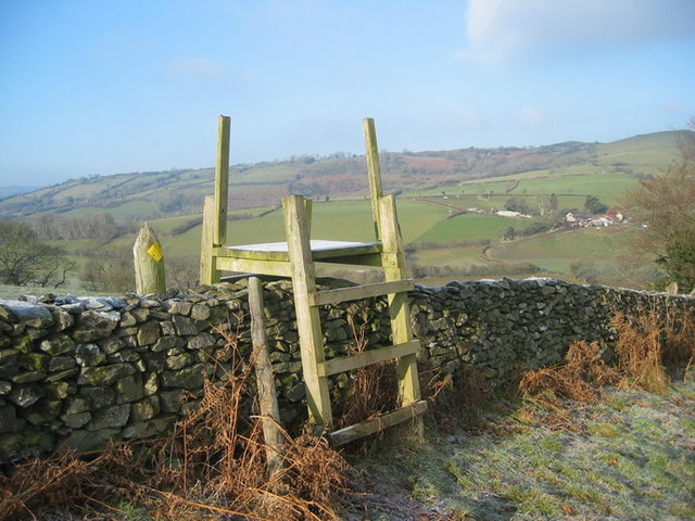
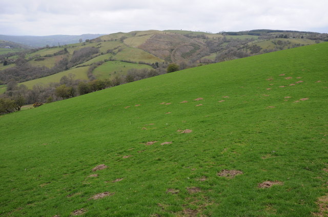
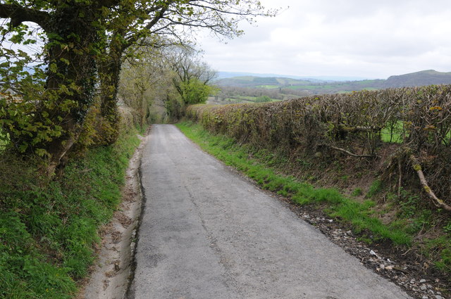
The surrounding area offers plenty of opportunities for outdoor activities and exploration. The Towy Valley is renowned for its scenic beauty, with numerous walking and cycling trails that allow visitors to fully immerse themselves in the stunning natural surroundings. There are also several fishing spots along the River Towy, attracting anglers from far and wide.

In terms of amenities, Llansadwrn has a community hall that serves as a hub for various events and gatherings. There is also a primary school located in the village, providing education for local children.

Overall, Llansadwrn is a charming and picturesque community that offers a peaceful and idyllic lifestyle, surrounded by natural beauty and steeped in history.

If you have any feedback on the listing, please let us know in the comments section below.
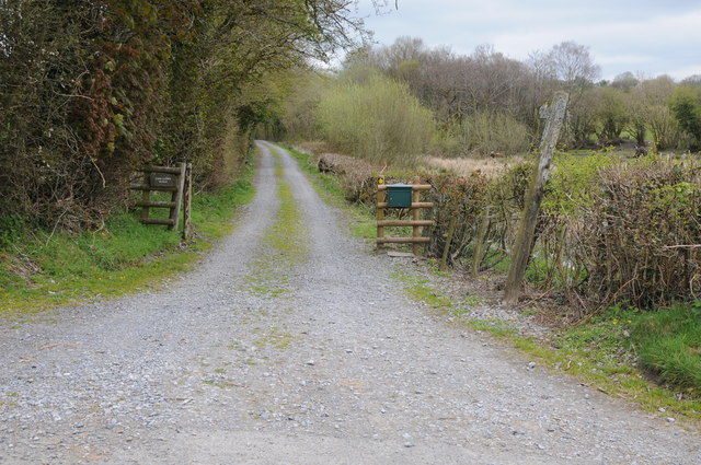
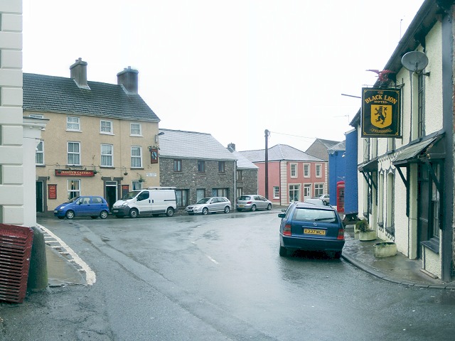
Llansadwrn Images

Images are sourced within 2km of 51.970301/-3.917486 or Grid Reference SN6831. Thanks to Geograph Open Source API. All images are credited.

Sticil ysgol Llansadwrn / Llansadwrn ladder tile Sticil ysgol yn croesi wal gerrig sych ger Llansadwrn

A ladder stile crossing a drystone wall near Llansadwrn
Sticil ysgol Llansadwrn / Llansadwrn ladder tile
Sticil ysgol yn croesi wal gerrig sych ger Llansadwrn A ladder stile crossing a drystone wall near Llansadwrn
View to Coedhirion View to Coedhirion in the Pyle Bâch valley to the east of Halfway.
View to Coedhirion
View to Coedhirion in the Pyle Bâch valley to the east of Halfway.
View to Banc View across the valley which Pyle Bâch drains, the farm on the hillside opposite is Banc.
View to Banc
View across the valley which Pyle Bâch drains, the farm on the hillside opposite is Banc.
Country road near Tir-y-fan Country road near Tir-y-fan, high above the Pyle Bâch valley to the left.
Country road near Tir-y-fan
Country road near Tir-y-fan, high above the Pyle Bâch valley to the left.
Llansadwrn  church Llansawrn church is dedicated to St Sadwrn.  In the background to the left is what appears to be a Methodist church.
Llansadwrn church
Llansawrn church is dedicated to St Sadwrn. In the background to the left is what appears to be a Methodist church.
Interior of Llansadwrn church View along the nave of St Sadwrn church, Llansadwrn.
Interior of Llansadwrn church
View along the nave of St Sadwrn church, Llansadwrn.
Bridge over Afon Marlais Bridge over Afon Marlais to the west of Llansadwrn.
Bridge over Afon Marlais
Bridge over Afon Marlais to the west of Llansadwrn.
Cattle feeder in a field Cattle feeder in a field to the west of Llansadwrn.
Cattle feeder in a field
Cattle feeder in a field to the west of Llansadwrn.
Farmland west of Llansadwrn Farmland west of Llansadwrn with Plasnewydd on the horizon.
Farmland west of Llansadwrn
Farmland west of Llansadwrn with Plasnewydd on the horizon.
New bridge over a stream A new bridge carrying a country road over a stream to the west of Llansadwrn.
New bridge over a stream
A new bridge carrying a country road over a stream to the west of Llansadwrn.
Bryn-Marlais View across farmland to Bryn-Marlais
Bryn-Marlais
View across farmland to Bryn-Marlais
Track and footpath near Llansadwrn A footpath follows this track eventually to Pont Cwm-llynfe.
Track and footpath near Llansadwrn
A footpath follows this track eventually to Pont Cwm-llynfe.
Farmland above Afon Marlais View across farmland a valley which Afon Marlais flows through.
Farmland above Afon Marlais
View across farmland a valley which Afon Marlais flows through.
Steep road north of Llansadwrn Steep country road to the north of Llansadwrn.
Steep road north of Llansadwrn
Steep country road to the north of Llansadwrn.
Welsh hill country Welsh hill country near Llansadwrn.
Welsh hill country
Welsh hill country near Llansadwrn.
Triangulation Pillar (S6469) Fan Hill 3rd Order Triangulation Pillar carries flush bracket S6469 which marks a point 265.725m above mean sea level.
Triangulation Pillar (S6469)
Fan Hill 3rd Order Triangulation Pillar carries flush bracket S6469 which marks a point 265.725m above mean sea level.
Ordnance Survey Cut Mark This OS cut mark can be found on the roadside building at Lletty'ywen. It marks a point 66.968m above mean sea level.
Ordnance Survey Cut Mark
This OS cut mark can be found on the roadside building at Lletty'ywen. It marks a point 66.968m above mean sea level.
Ordnance Survey Cut Mark This OS cut mark can be found on the gateside wall to Brynheulog. It marks a point 76.411m above mean sea level.
Ordnance Survey Cut Mark
This OS cut mark can be found on the gateside wall to Brynheulog. It marks a point 76.411m above mean sea level.
Show me another place!

Llansadwrn is located at Grid Ref: SN6831 (Lat: 51.970301, Lng: -3.917486)

Unitary Authority: Carmarthenshire

Police Authority: Dyfed-Powys

What 3 Words

///safety.rave.anchovies. Near Llansadwrn, Carmarthenshire

Nearby Locations

Llansadwrn Waunclunda

Related Wikis

Llansadwrn

Llansadwrn (; Welsh: [ɬanˈsadʊn]; ) is a small village and community in Carmarthenshire, Wales. It is located in the countryside above the valley of the...

Llanwrda

Llanwrda ([ɬanʊrˈda] ) is a village and community in Carmarthenshire, Wales, 4 miles (6.4 km) southwest of Llandovery. It lies on the River Towy. The population...

Llanwrda railway station

Llanwrda railway station serves the village of Llanwrda near Llandovery, Carmarthenshire. Opened by the Vale of Towy Railway in 1858, the station is on...

Llangadog railway station

Llangadog railway station serves the village of Llangadog near Llandeilo, Carmarthenshire. The station is on the Heart of Wales Line 36+1⁄2 miles (59 km...

River Sawdde

The Afon Sawdde is a river in the county of Carmarthenshire, Wales. For most of its course it flows through the Brecon Beacons National Park and Fforest...

Llangadog

Llangadog () is a village and community in Carmarthenshire, Wales, which also includes the villages of Bethlehem and Capel Gwynfe. A notable local landscape...

Talley transmitting station

The Talley television relay station is sited on high ground to the north of the village of Talley in Carmarthenshire. It was originally built in 1986 as...

Glanrhyd Bridge collapse

On 19 October 1987, a train on the Heart of Wales line derailed and fell into the River Towy due to the partial collapse of the Glanrhyd Bridge near Llandeilo...

Nearby Amenities

Located within 500m of 51.970301,-3.917486
Ford: yes
Lat/Long: 51.9698292/-3.9186372
Ford: yes
Lat/Long: 51.9720937/-3.924134
The data included in this document is from www.openstreetmap.org. The data is made available under ODbL.

Have you been to Llansadwrn?

Leave your review of Llansadwrn below (or comments, questions and feedback).