Bridge End

Settlement in Bedfordshire

England

Bridge End

Stagsden: The A422
Stagsden: The A422 Credit: Michael Garlick

Bridge End is a small village located in the county of Bedfordshire, England. Situated on the eastern bank of the River Great Ouse, it is part of the civil parish of Roxton. The village is approximately 5 miles north of the town of Bedford and 45 miles north of London.

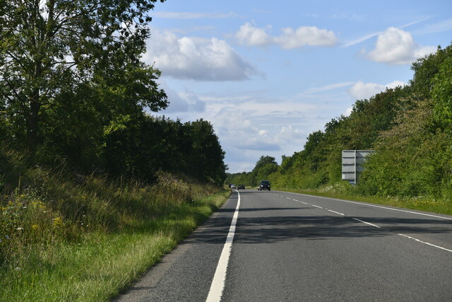
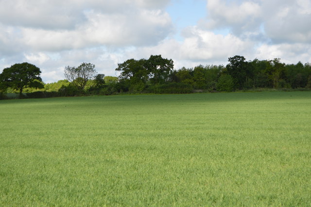
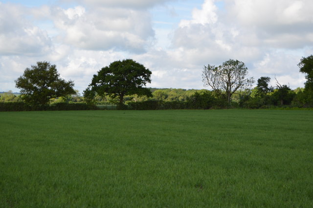
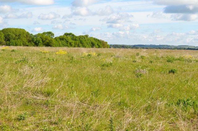
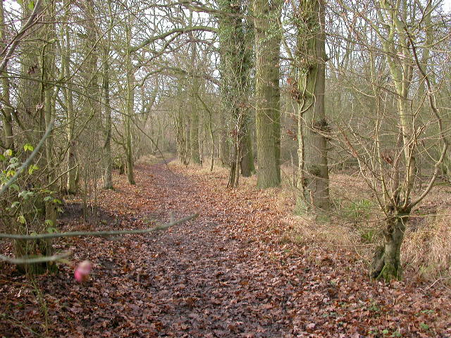
Bridge End is known for its picturesque setting, with charming cottages and beautiful countryside surrounding it. The village is home to a close-knit community, with a population of around 200 residents. It offers a peaceful and tranquil atmosphere, making it an ideal place for those seeking a quiet and rural lifestyle.

The village has limited amenities, with a small village hall serving as a community gathering place for various events and activities. There are no shops or pubs in Bridge End itself, but the nearby towns and villages provide ample access to essential services and amenities.

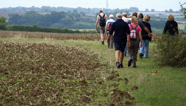
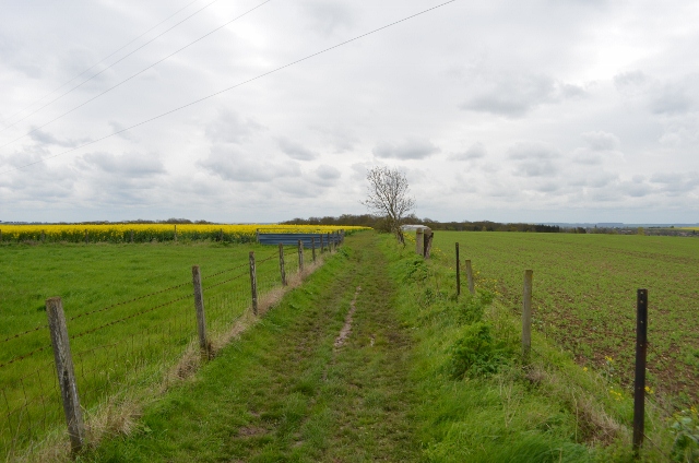
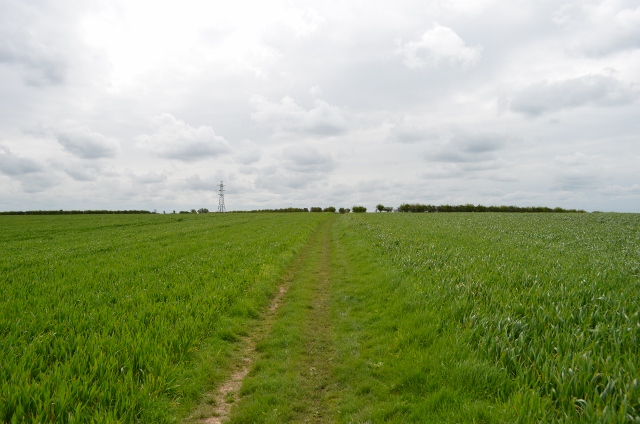
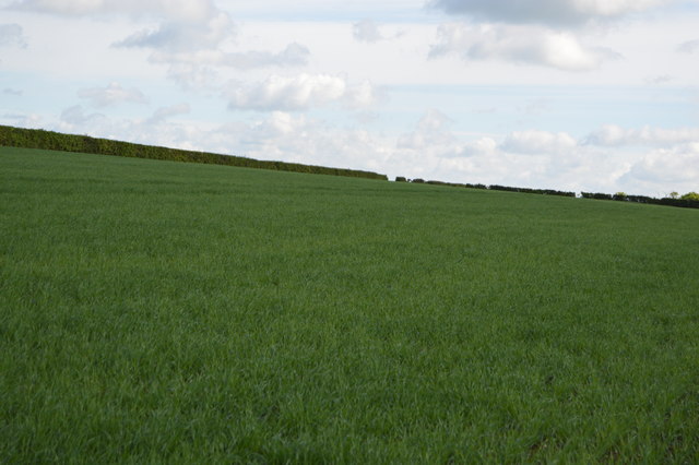
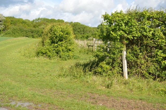
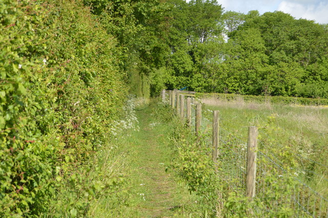
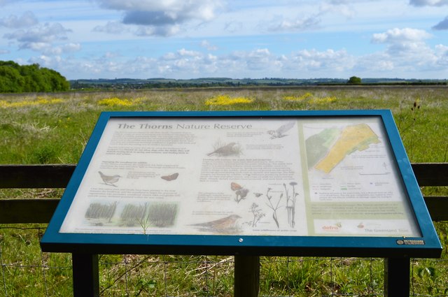
Nature lovers will appreciate the natural beauty of Bridge End, as it is surrounded by scenic landscapes and offers opportunities for outdoor activities such as walking, cycling, and fishing. The River Great Ouse also provides a tranquil setting for boating enthusiasts.

Overall, Bridge End offers a quaint and idyllic lifestyle for its residents, with its peaceful surroundings and strong sense of community. It is a place where one can escape the hustle and bustle of city life and enjoy the simplicity of rural living.

If you have any feedback on the listing, please let us know in the comments section below.

Bridge End Images

Images are sourced within 2km of 52.143546/-0.526919 or Grid Reference TL0050. Thanks to Geograph Open Source API. All images are credited.

Stagsden: The A422
Stagsden: The A422
Hanger Wood View south-west.
Hanger Wood
View south-west.
Bedfordshire Walking Festival. Participants in the 2010, Bedfordshire Walking festival.  Short walk of 6 miles around Bromham.
Bedfordshire Walking Festival.
Participants in the 2010, Bedfordshire Walking festival. Short walk of 6 miles around Bromham.
John Bunyan trail Leaving Bromham, over the hill towards Stevington
John Bunyan trail
Leaving Bromham, over the hill towards Stevington
John Bunyan trail Leaving Bromham, over the hill towards Stevington
John Bunyan trail
Leaving Bromham, over the hill towards Stevington
John Bunyan trail Looking towards Bromham, behind me is the small village of Stevington.
John Bunyan trail
Looking towards Bromham, behind me is the small village of Stevington.
John Bunyan Trail
John Bunyan Trail
Playing field at Bromham
Bromham Roundabout
Bromham Roundabout
Path into Bromham
Path into Bromham
Footpath towards White's Wood
Field by John Bunyan Trail
Bedfordshire farmland
Arable field
Arable field
John Bunyan Trail The Trail was created by the Bedfordshire Group to celebrate the Diamond Jubilee and is dedicated to the memory of John Bunyan, the Puritan Evangelist and author of the book 'Pilgrim's Progress'. The 77 mile long route passes through a number of attractive villages and scenic countryside, taking in many places of historic interest connected with Bunyan. There are links with the Greensand Ridge Walk, Icknield Way Path and North Bedfordshire Heritage Trail. The waymarked Clay Way (11½ miles, map online) which follows the West Bedfordshire Clay Ridge is partly coincident with the Trail at Cranfield.
John Bunyan Trail
The Trail was created by the Bedfordshire Group to celebrate the Diamond Jubilee and is dedicated to the memory of John Bunyan, the Puritan Evangelist and author of the book 'Pilgrim's Progress'. The 77 mile long route passes through a number of attractive villages and scenic countryside, taking in many places of historic interest connected with Bunyan. There are links with the Greensand Ridge Walk, Icknield Way Path and North Bedfordshire Heritage Trail. The waymarked Clay Way (11½ miles, map online) which follows the West Bedfordshire Clay Ridge is partly coincident with the Trail at Cranfield.
The Thorns The Thorns is a 40ha site to the south-west of Bromham.  It consists of a small area of woodland (part of Hanger Wood SSSI), a field to the east which is being allowed to regenerate to scrub/woodland having last been ploughed 4-5 years ago, and a large arable field (newly sown for winter wheat). 
The arable field has 2m grass margins, mature and newly planted hedges, and, along its south-east edge, three small plots of arable weeds, pollen and nectar mix and songbird mix, options selected as part of an Entry Level Environmental Stewardship agreement.
The Thorns
The Thorns is a 40ha site to the south-west of Bromham. It consists of a small area of woodland (part of Hanger Wood SSSI), a field to the east which is being allowed to regenerate to scrub/woodland having last been ploughed 4-5 years ago, and a large arable field (newly sown for winter wheat). The arable field has 2m grass margins, mature and newly planted hedges, and, along its south-east edge, three small plots of arable weeds, pollen and nectar mix and songbird mix, options selected as part of an Entry Level Environmental Stewardship agreement.
John Bunyan Trail by The Thorns The Thorns is a 40ha site to the south-west of Bromham.  It consists of a small area of woodland (part of Hanger Wood SSSI), a field to the east which is being allowed to regenerate to scrub/woodland having last been ploughed 4-5 years ago, and a large arable field (newly sown for winter wheat). 
The arable field has 2m grass margins, mature and newly planted hedges, and, along its south-east edge, three small plots of arable weeds, pollen and nectar mix and songbird mix, options selected as part of an Entry Level Environmental Stewardship agreement.
John Bunyan Trail by The Thorns
The Thorns is a 40ha site to the south-west of Bromham. It consists of a small area of woodland (part of Hanger Wood SSSI), a field to the east which is being allowed to regenerate to scrub/woodland having last been ploughed 4-5 years ago, and a large arable field (newly sown for winter wheat). The arable field has 2m grass margins, mature and newly planted hedges, and, along its south-east edge, three small plots of arable weeds, pollen and nectar mix and songbird mix, options selected as part of an Entry Level Environmental Stewardship agreement.
The Thorns Nature Reserve The Thorns is a 40ha site to the south-west of Bromham.  It consists of a small area of woodland (part of Hanger Wood SSSI), a field to the east which is being allowed to regenerate to scrub/woodland having last been ploughed 4-5 years ago, and a large arable field (newly sown for winter wheat). 
The arable field has 2m grass margins, mature and newly planted hedges, and, along its south-east edge, three small plots of arable weeds, pollen and nectar mix and songbird mix, options selected as part of an Entry Level Environmental Stewardship agreement.
The Thorns Nature Reserve
The Thorns is a 40ha site to the south-west of Bromham. It consists of a small area of woodland (part of Hanger Wood SSSI), a field to the east which is being allowed to regenerate to scrub/woodland having last been ploughed 4-5 years ago, and a large arable field (newly sown for winter wheat). The arable field has 2m grass margins, mature and newly planted hedges, and, along its south-east edge, three small plots of arable weeds, pollen and nectar mix and songbird mix, options selected as part of an Entry Level Environmental Stewardship agreement.
Show me another place!

Bridge End is located at Grid Ref: TL0050 (Lat: 52.143546, Lng: -0.526919)

Unitary Authority: Bedford

Police Authority: Bedfordshire

What 3 Words

///shopping.parkland.tides. Near Bromham, Bedfordshire

Nearby Locations

Bridge End

Related Wikis

Bromham, Bedfordshire

Bromham is a village and civil parish in the Borough of Bedford in Bedfordshire, England, situated around 3 miles (4.8 km) west of Bedford town centre...

Church of St James, Biddenham

Church of St James is a Grade I listed church in Biddenham, Bedfordshire, England. It became a listed building on 13 July 1964. The Church has a website...

Church of St Owen, Bromham, Bedfordshire

Church of St Owen is a Grade I listed church in Bromham, Bedfordshire, England. It became a listed building on 13 July 1964.The church is a 17th-century...

Biddenham Dovecote

The Biddenham dovecote was a structure located in Biddenham, a village in Bedfordshire, England. Built on the order of Elizabeth Boteler in 1706, in a...

Great Denham

Great Denham is a village and civil parish located in Bedfordshire, England, on the western outskirts of Bedford. The village is the location of Bedford...

Biddenham Pit

Biddenham Pit is a gravel pit and Site of Special Scientific Interest (SSSI), 0.41 hectares in size located in Biddenham, Bedfordshire. The pit was notified...

Biddenham

Biddenham is a village and civil parish in the Borough of Bedford in Bedfordshire, England, located around 2 miles (3.2 km) west of Bedford town centre...

Hanger Wood

Hanger Wood is an ancient woodland and Site of Special Scientific Interest (SSSI) in the parish of Stagsden, Bedfordshire in the United Kingdom. Situated...

Nearby Amenities

Located within 500m of 52.143546,-0.526919
Crossing
Crossing Ref: zebra
Source: bing
Lat/Long: 52.1443939/-0.5320436
Fuel
Steven Eagell
Addr City: Bromham
Addr Country: GB
Addr Housenumber: 52-56
Addr Postcode: MK43 8PT
Addr Street: Stagsden Road
Brand: BP
Brand Wikidata: Q152057
Fhrs Authority: Bedford
Fhrs Id: 102935
Fhrs Local Authority Id: 34355
Website: https://map.bp.com/en-GB/GB/petrol-station/bedford/bromham-s-stn/4687
Lat/Long: 52.1447627/-0.5315944
Pub
The Swan
Addr City: Bromham
Addr Country: GB
Addr Housenumber: 21
Addr Postcode: MK43 8LS
Addr Street: Bridge End
Brand: Greene King
Brand Wikidata: Q5564162
Fhrs Authority: Bedford
Fhrs Id: 102668
Fhrs Local Authority Id: 34156
Website: https://www.greeneking.co.uk/pubs/bedfordshire/swan
Lat/Long: 52.1446348/-0.5281701
Barrier: kissing_gate
Bicycle: yes
Foot: yes
Lat/Long: 52.144346/-0.5212664
Barrier: stile
Foot: yes
Lat/Long: 52.1429378/-0.5198835
Post Box
Brand: Royal Mail
Brand Wikidata: Q638098
Operator: Royal Mail
Operator Wikidata: Q638098
Ref: MK43 417
Lat/Long: 52.1442364/-0.5317746
Post Box
Brand: Royal Mail
Brand Wikidata: Q638098
Operator: Royal Mail
Operator Wikidata: Q638098
Ref: MK43 62
Lat/Long: 52.1446675/-0.5275568
Bus Stop
Bus: yes
Public Transport: platform
Lat/Long: 52.1448746/-0.5273987
Bus Stop
BROMHAM The Swan, opposite
Bench: no
Bus: yes
Public Transport: platform
Shelter: yes
Tactile Paving: no
Lat/Long: 52.1449503/-0.5273289
Berry Drive Store
Addr City: Bromham
Addr Country: GB
Addr Housenumber: 3
Addr Postcode: MK43 8QA
Addr Street: Berry Drive
Fhrs Authority: Bedford
Fhrs Id: 102651
Fhrs Local Authority Id: 34141
Shop: convenience
Lat/Long: 52.1449472/-0.5329067
Communication Mobile Phone: yes
Man Made: tower
Tower Construction: mast
Tower Type: communication
Lat/Long: 52.1407582/-0.5280772
Communication Mobile Phone: yes
Man Made: tower
Tower Construction: lattice_steel
Tower Type: communication
Lat/Long: 52.1407837/-0.5279581
Speed Camera
Direction: 0
Maxspeed: 30 mph
Lat/Long: 52.1465477/-0.5289052
The data included in this document is from www.openstreetmap.org. The data is made available under ODbL.

Have you been to Bridge End?

Leave your review of Bridge End below (or comments, questions and feedback).