Cegidfa

Community in Montgomeryshire

Wales

Cegidfa

Road to Broniarth Road to Broniarth from A490
Road to Broniarth Credit: P Gaskell

The requested URL returned error: 429 Too Many Requests

If you have any feedback on the listing, please let us know in the comments section below.
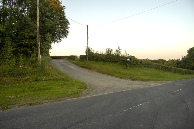
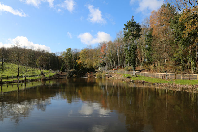
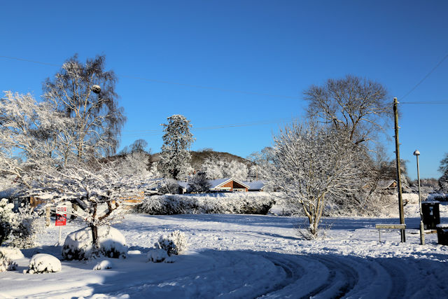
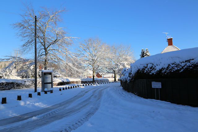
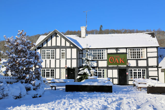
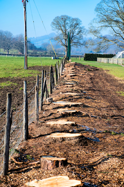
Cegidfa Images

Images are sourced within 2km of 52.695875/-3.176849 or Grid Reference SJ2011. Thanks to Geograph Open Source API. All images are credited.

Road to Broniarth Road to Broniarth from A490
Road to Broniarth
Road to Broniarth from A490
Decorated bus stop at Oak Lane The shelter has been painted by local residents as the village is entering Best Village of 2016
Decorated bus stop at Oak Lane
The shelter has been painted by local residents as the village is entering Best Village of 2016
Fishing pond near Garth Just off the A490 road. This was created by a local farmer
Fishing pond near Garth
Just off the A490 road. This was created by a local farmer
Fun on the slopes On the slopes close to The Woodlands
Fun on the slopes
On the slopes close to The Woodlands
Chepstow Avenue junction with Agincourt Drive
Guilsfield church from The Cross
Arddleen Road from Cemetery Lane junction
School Road from Arddleen road
White Dolwen from Cemetery Lane There are two Dolwens in Guilsfield, White and Red. White Dolwen houses are White and Red Dolwen are Red
White Dolwen from Cemetery Lane
There are two Dolwens in Guilsfield, White and Red. White Dolwen houses are White and Red Dolwen are Red
The Chapel in the Cemetery ground The Cross is the war memorial
The Chapel in the Cemetery ground
The Cross is the war memorial
School Road from The Old School
Oak Lane from Church Lane
Mill Lane from Oak Lane
The Oak Public House
The stand at Guilsfield Football Club Guilsfield play in the Cymru Alliance, which is in the second level of the Welsh football league system
The stand at Guilsfield Football Club
Guilsfield play in the Cymru Alliance, which is in the second level of the Welsh football league system
Stumps on the edge of the cricket pitch The pine trees here were recently cut down as they were in a dangerous state
Stumps on the edge of the cricket pitch
The pine trees here were recently cut down as they were in a dangerous state
The Oak public house from the B4392
Two cottages on the corner of Mill Lane The cottages are Cil-Haul and Yewtrees
Two cottages on the corner of Mill Lane
The cottages are Cil-Haul and Yewtrees
Show me another place!

Cegidfa is located at Grid Ref: SJ2011 (Lat: 52.695875, Lng: -3.176849)

Unitary Authority: Powys

Police Authority: Dyfed Powys

Also known as: Guilsfield

What 3 Words

///promoted.invisible.removals. Near Guilsfield, Powys

Related Wikis

Garth (Guilsfield)

Garth was an important early gothic revival house in the township of Garth in Guilsfield in Montgomeryshire. In the 18th century it became the home of...

Guilsfield

Guilsfield (Welsh: Cegidfa, lit. "Hemlock-field") is a village and local government community in Montgomeryshire, Powys, Wales. It lies beside Guilsfield...

Gungrog

Gungrog is a geographical area which is part of Welshpool (English) Y Trallwng (Welsh), Powys in Wales. It is a stretch of elevated ground which includes...

Llanerchydol

Llanerchydol is a hamlet in Powys, Wales, situated on the A458 about 2 km west of the centre of Welshpool. It is part of the community of Welshpool and...

Nearby Amenities

Located within 500m of 52.695875,-3.176849
Direction: 215
Generator Method: photovoltaic
Generator Output Electricity: yes
Generator Solar Modules: 16
Generator Source: solar
Generator Type: solar_photovoltaic_panel
Location: roof
Power: generator
Lat/Long: 52.6939552/-3.1808102
Direction: S
Generator Method: photovoltaic
Generator Output Electricity: yes
Generator Solar Modules: 16
Generator Source: solar
Generator Type: solar_photovoltaic_panel
Location: roof
Power: generator
Lat/Long: 52.6940778/-3.1712753
Direction: SSE
Generator Method: photovoltaic
Generator Output Electricity: yes
Generator Solar Modules: 16
Generator Source: solar
Generator Type: solar_photovoltaic_panel
Location: roof
Power: generator
Lat/Long: 52.693014/-3.1712441
Give Way
Direction: backward
Lat/Long: 52.696142/-3.1716179
The data included in this document is from www.openstreetmap.org. The data is made available under ODbL.

Have you been to Cegidfa?

Leave your review of Cegidfa below (or comments, questions and feedback).