Flint
Community in Flintshire
Wales
Flint
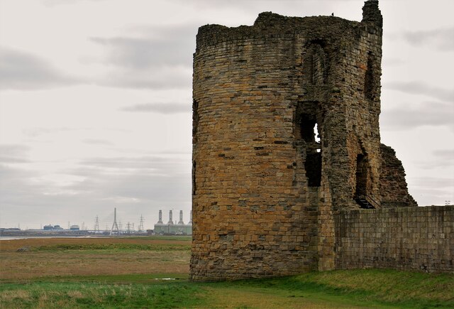
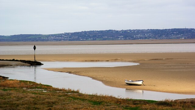
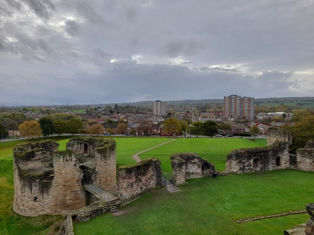
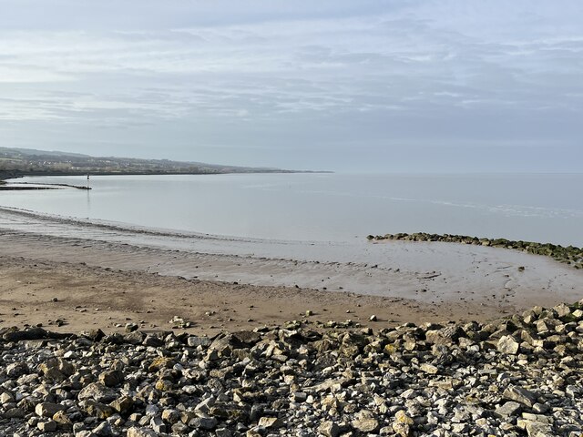
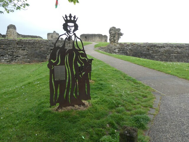
Flint is a community located in Flintshire, Wales. It is situated on the estuary of the River Dee and has a rich history dating back to Roman times. The town of Flint itself is known for its medieval castle, which was built in the 13th century by King Edward I of England as part of his campaign to conquer Wales.
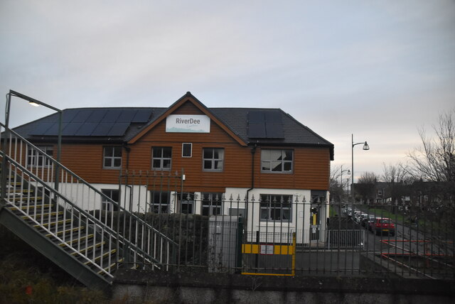
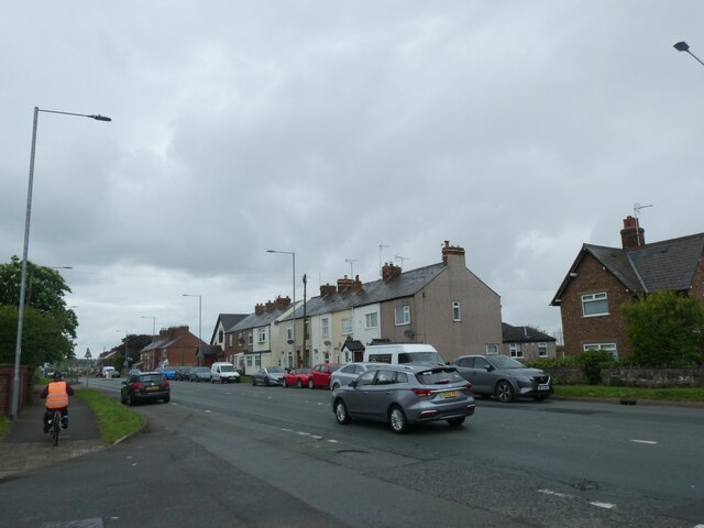
Flint is a bustling community with a population of around 13,000 residents. The town is home to a variety of shops, restaurants, and amenities, making it a popular destination for locals and visitors alike. The town also has a strong sense of community spirit, with many local events and festivals held throughout the year.
In addition to its historical attractions, Flint is also known for its natural beauty. The town is surrounded by picturesque countryside, including the nearby Clwydian Range Area of Outstanding Natural Beauty. This makes Flint a popular destination for outdoor enthusiasts, with plenty of opportunities for hiking, cycling, and other outdoor activities.
Overall, Flint is a vibrant and welcoming community with a rich history and plenty to offer residents and visitors alike.
If you have any feedback on the listing, please let us know in the comments section below.
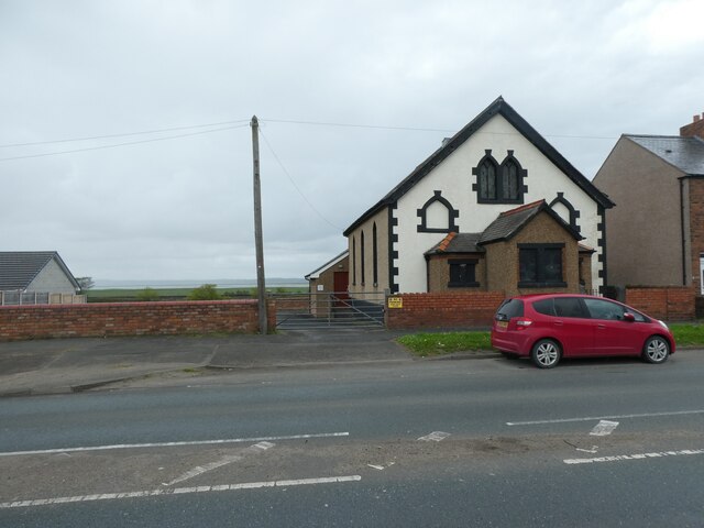
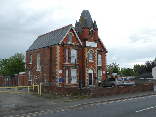
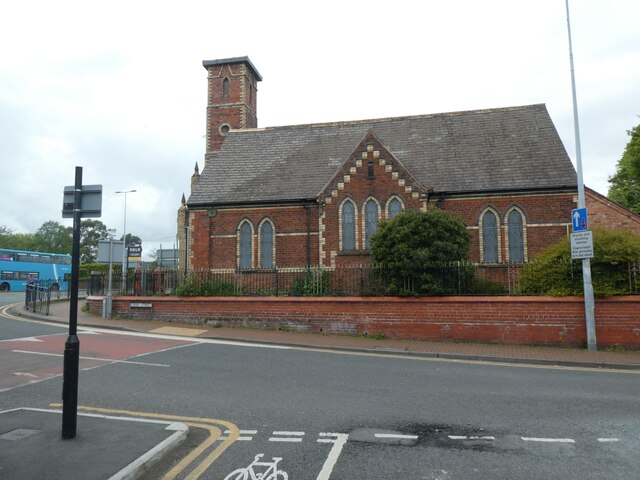
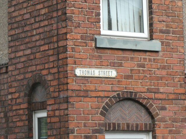
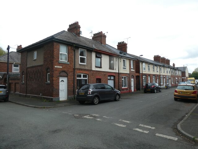
Flint Images
Images are sourced within 2km of 53.24365/-3.121674 or Grid Reference SJ2572. Thanks to Geograph Open Source API. All images are credited.


Flint is located at Grid Ref: SJ2572 (Lat: 53.24365, Lng: -3.121674)
Unitary Authority: Flintshire
Police Authority: North Wales
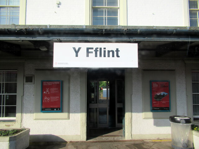
Also known as: Y Fflint
What 3 Words
///chariots.cashew.taskbar. Near Flint, Flintshire
Nearby Locations
Related Wikis

St Richard Gwyn Catholic High School, Flint
St Richard Gwyn Catholic High School is a Catholic co-educational voluntary aided secondary school situated on Albert Avenue in Flint, Flintshire, United...

Cae-y-Castell
Cae-y-Castell (currently known as the Essity Stadium for sponsorship reasons) is a football stadium in Flint, Flintshire, Wales. Located on the banks of...
Flint Town United F.C.
Flint Town United Football Club (Welsh: Clwb Pêl-droed Tref Y Fflint Unedig) is a football club based in Flint, Flintshire, Wales, that will compete in...

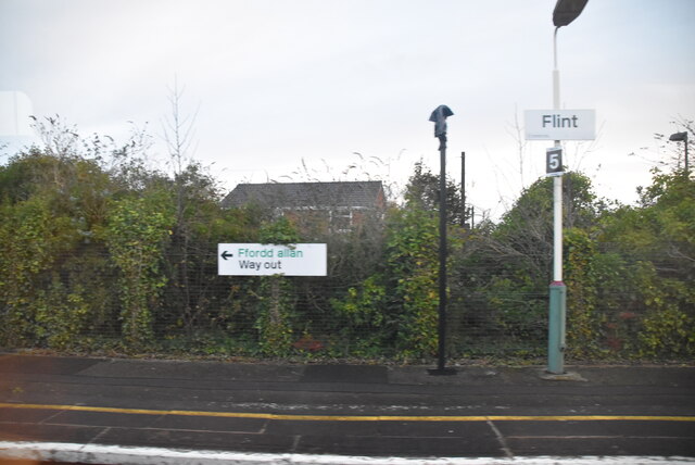
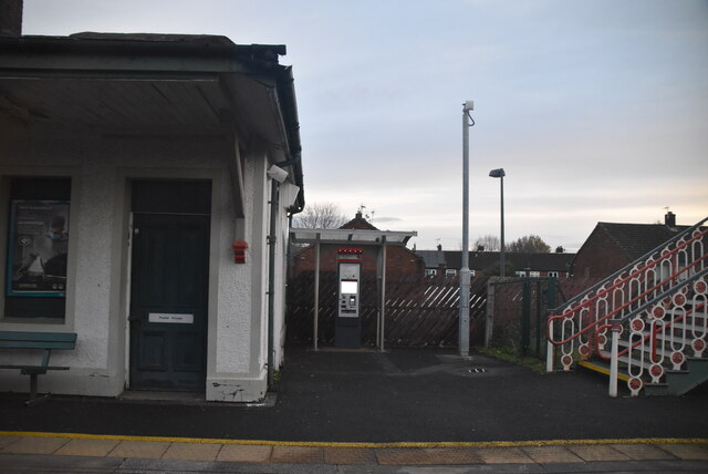
Flint railway station
Flint railway station (Welsh: Y Fflint) serves the town of Flint in Flintshire, North Wales. It is located on the North Wales Coast Line and is managed...
Nearby Amenities
Located within 500m of 53.24365,-3.121674Have you been to Flint?
Leave your review of Flint below (or comments, questions and feedback).