Aberdunhonw
Community in Brecknockshire
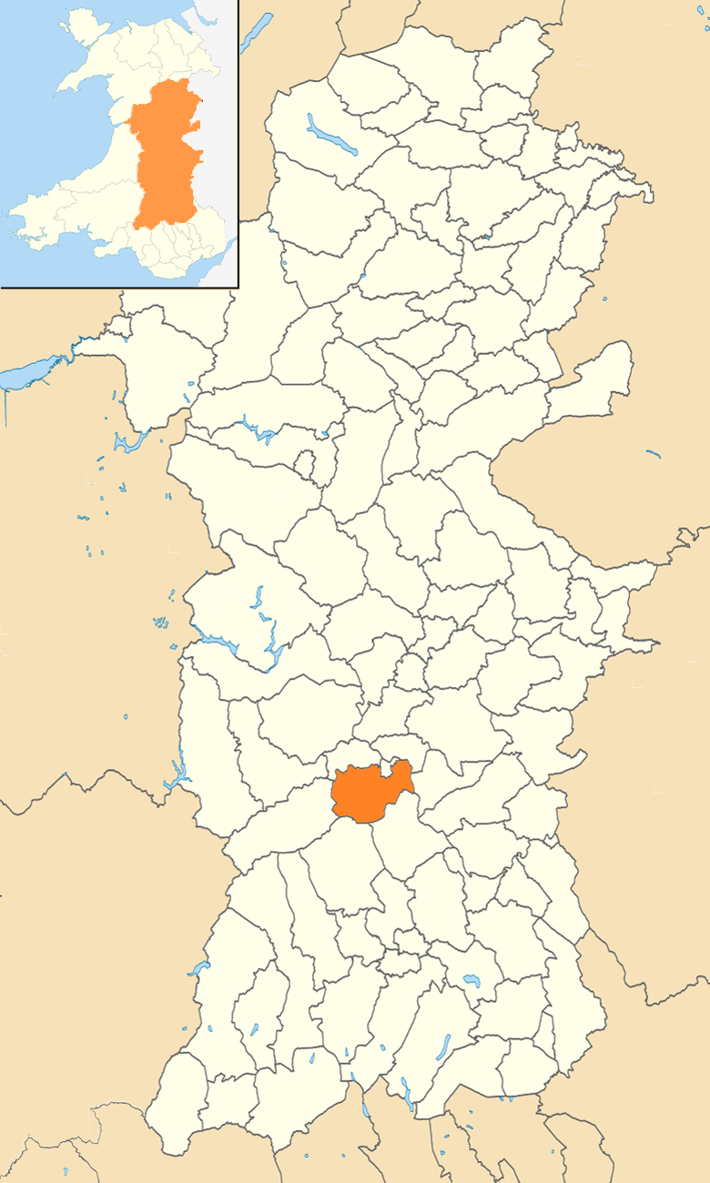
Wales
Aberdunhonw

Aberdunhonw is a small community located in the historic county of Brecknockshire, Wales. Situated in the heart of the picturesque Brecon Beacons National Park, Aberdunhonw boasts stunning natural landscapes and a rich cultural heritage.
The community is home to a population of around 300 people, living in a combination of traditional stone cottages and more modern housing. The area is known for its peaceful and close-knit community, with residents often engaging in local events and activities.
Aberdunhonw is surrounded by rolling hills, lush green valleys, and panoramic views of the Brecon Beacons. This makes it a popular destination for outdoor enthusiasts, offering a wide range of activities such as hiking, mountain biking, and wildlife spotting. The nearby Taf Fechan Forest and reservoir are also popular spots for nature lovers.
The community has a small primary school, providing education for local children, and a village hall that serves as a hub for community gatherings and events. There is also a local pub, offering a cozy atmosphere and a chance to socialize with fellow residents and visitors.
Nearby, the town of Brecon offers additional amenities, including shops, restaurants, and healthcare facilities. It is also the starting point for many visitors exploring the Brecon Beacons National Park.
Overall, Aberdunhonw is a charming community that offers a tranquil lifestyle amidst breathtaking natural beauty, making it an idyllic place to live or visit for those seeking a peaceful retreat in the heart of the Welsh countryside.
If you have any feedback on the listing, please let us know in the comments section below.
Aberdunhonw Images
Images are sourced within 2km of 52.12105/-3.434428 or Grid Reference SO0147. Thanks to Geograph Open Source API. All images are credited.


Aberdunhonw is located at Grid Ref: SO0147 (Lat: 52.12105, Lng: -3.434428)
Unitary Authority: Powys
Police Authority: Dyfed Powys
Also known as: Duhonw
What 3 Words
///stocky.toasters.waving. Near Builth Wells, Powys
Nearby Locations
Related Wikis
Duhonw
Duhonw is a rural community in Powys, Wales, to the south of Builth Wells (Welsh: Llanfair ym Muallt), in the historic county of Breconshire. Covering...

Allt Cynhelyg
Allt Cynhelyg is a semi-natural oak-hazel woodland forming a Site of Special Scientific Interest in Brecknock, Powys, Wales. It has a notable natural population...
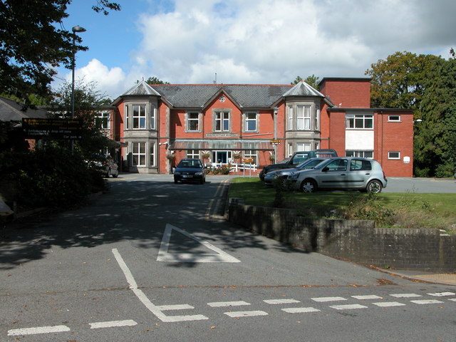
Builth Wells Hospital
Builth Wells Hospital (Welsh: Ysbyty Llanfair ym Muallt) was a heath facility in Bronllys, Wales. It was managed by Powys Teaching Health Board. ��2�...
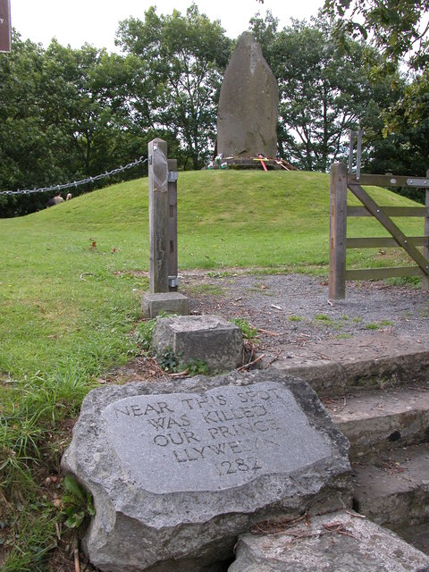
Cilmeri
Cilmeri is a village and community in Powys, mid-Wales, United Kingdom in the historic county of Brecknockshire, two and a half miles west of Builth Wells...
Nearby Amenities
Located within 500m of 52.12105,-3.434428Have you been to Aberdunhonw?
Leave your review of Aberdunhonw below (or comments, questions and feedback).