Cei Connah
Community in Flintshire
Wales
Cei Connah

Cei Connah, also known as Connah's Quay, is a community located in the county of Flintshire, in North Wales, United Kingdom. It is situated on the banks of the River Dee and is part of the Deeside conurbation.
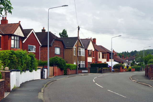
Cei Connah has a population of around 20,000 people and covers an area of approximately 5.5 square miles. The community is primarily residential, with a mix of housing types including detached houses, semi-detached houses, and terraced houses. There are also a number of small shops, restaurants, and pubs in the area, serving the local community.
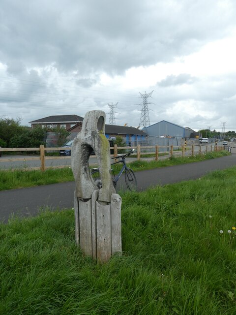
The town is known for its industrial heritage, particularly in the steel and manufacturing industries. The nearby Deeside Industrial Park, which is one of the largest in the UK, provides employment opportunities for many residents of Cei Connah and the surrounding areas.
Cei Connah is well-connected to other parts of Flintshire and North Wales through a network of roads, including the A548 road and the A494 road. There are also regular bus services that operate in the area, providing easy access to neighboring towns and cities.
The community is home to several schools, including primary and secondary schools, offering education to children of all ages. Additionally, there are recreational facilities, parks, and sports clubs, providing opportunities for residents to engage in various leisure activities.
Overall, Cei Connah is a vibrant community with a rich industrial history, offering a mix of residential areas, amenities, and employment opportunities for its residents.
If you have any feedback on the listing, please let us know in the comments section below.
Cei Connah Images
Images are sourced within 2km of 53.227805/-3.062372 or Grid Reference SJ2970. Thanks to Geograph Open Source API. All images are credited.


Cei Connah is located at Grid Ref: SJ2970 (Lat: 53.227805, Lng: -3.062372)
Unitary Authority: Flintshire
Police Authority: North Wales
Also known as: Connah's Quay
What 3 Words
///lends.residual.digital. Near Deeside, Flintshire
Nearby Locations
Related Wikis

Flintshire Bridge
The Flintshire Bridge is a cable-stayed bridge spanning the Dee Estuary in North Wales. The bridge links Flint and Connah's Quay to the shore north of...
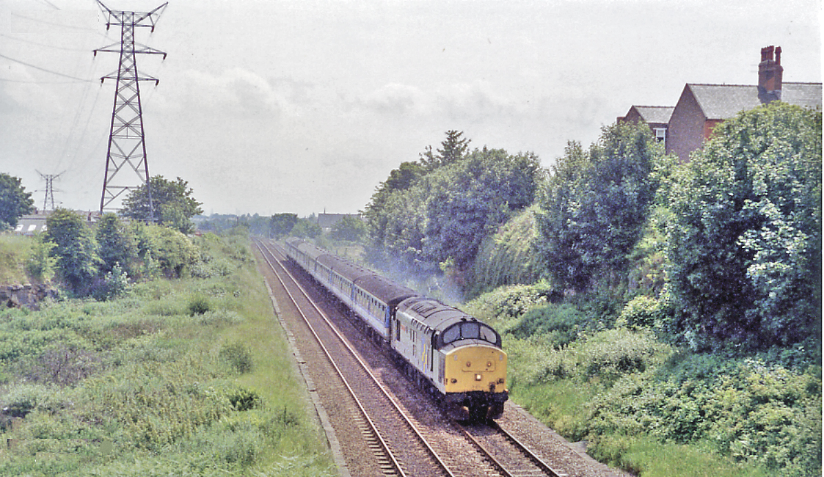
Connah's Quay railway station
Connah's Quay railway station was a railway station located to the north of Connah's Quay, Flintshire, Wales on the south bank of the canalised section...
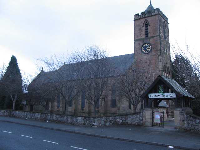
St Mark's Church, Connah's Quay
St Mark's Church, Connah's Quay is in the town of Connah's Quay, Flintshire, Wales. It is an active Anglican church in the mission area of Borderlands...

Deeside Power Station
Deeside Power Station is a power station on the Deeside Industrial Park to the north of Connah's Quay in Flintshire, Wales. Constructed as a 498 MWe combined...

Deeside Stadium
Deeside Stadium (Welsh: Stadiwm Glannau Dyfrdwy) is a multi-sport stadium located in Connah's Quay, Deeside. It was the home stadium to Welsh Premier League...
Deeside College
Deeside College (Welsh: Coleg Glannau Dyfrdwy) (now part of Coleg Cambria) is located in Connah's Quay, Flintshire, North Wales. It was formerly a further...
Coleg Cambria
Coleg Cambria in North East Wales is one of the UK's largest colleges, with over 7000 full-time and 20,000 part-time students, and has international links...

Connah's Quay
Connah's Quay (Welsh: Cei Connah), known locally as "The Quay" and formerly known as Wepre, is a town and community in Flintshire, on the River Dee and...
Nearby Amenities
Located within 500m of 53.227805,-3.062372Have you been to Cei Connah?
Leave your review of Cei Connah below (or comments, questions and feedback).