Caersws
Community in Montgomeryshire
Wales
Caersws
Caersws is a community situated in the county of Montgomeryshire, Wales. It is located approximately 7 miles southwest of Newtown, the largest town in the area. The community of Caersws encompasses several small villages and hamlets, including Llaithddu, Trefeglwys, and Aberhafesp.
Caersws has a rich history that dates back to Roman times. The name Caersws translates to "Fort of St. Sws," indicating the presence of a fortification in ancient times. Today, the community is known for its picturesque landscapes, rolling hills, and charming rural setting.
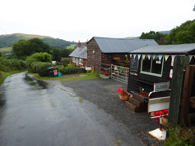
The area is predominantly agricultural, with farming playing a significant role in the local economy. The community is also home to a range of small businesses, including shops, pubs, and local services. Caersws has a close-knit community, and residents often take part in community events and festivals throughout the year.
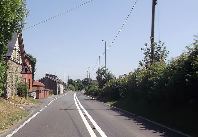
The community benefits from excellent transport links, with the A470 road passing through Caersws, connecting it to other towns and cities in the region. The nearby Caersws railway station provides regular services to destinations such as Shrewsbury and Aberystwyth, making it convenient for both residents and visitors to travel.
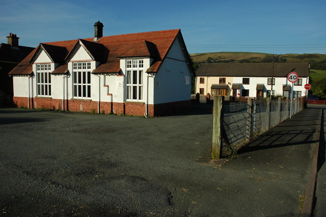
Caersws offers a range of amenities and facilities, including a primary school, community hall, and sports facilities. The surrounding countryside provides ample opportunities for outdoor activities, such as hiking, cycling, and horse riding.
Overall, Caersws is a charming and idyllic community with a rich history, beautiful surroundings, and a strong sense of community spirit.
If you have any feedback on the listing, please let us know in the comments section below.
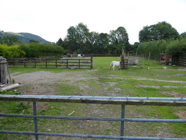
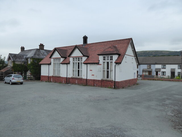
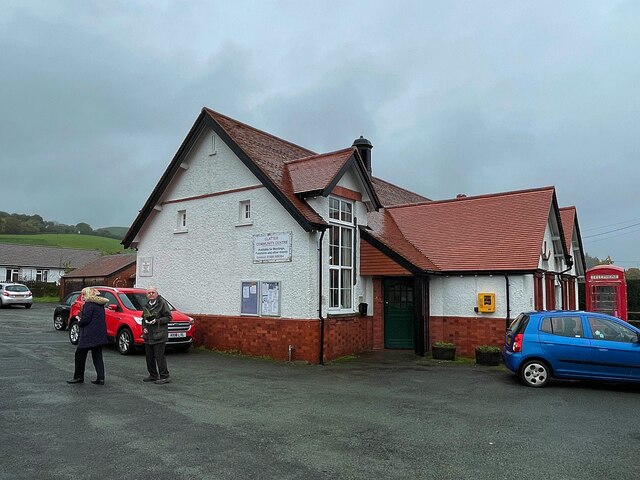
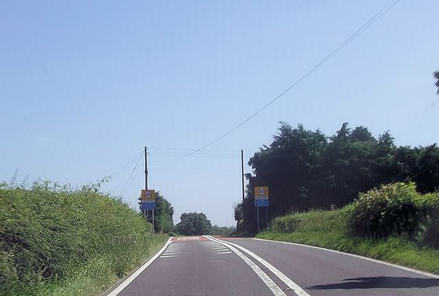
Caersws Images
Images are sourced within 2km of 52.539032/-3.456125 or Grid Reference SO0194. Thanks to Geograph Open Source API. All images are credited.


Caersws is located at Grid Ref: SO0194 (Lat: 52.539032, Lng: -3.456125)
Unitary Authority: Powys
Police Authority: Dyfed Powys
What 3 Words
///chaos.grit.outs. Near Mochdre, Powys
Related Wikis

Pontdolgoch railway station
Pontdolgoch railway station was a station in Pontdolgoch, Powys, Wales. The station opened on 3 January 1863 and closed on 14 June 1965. == References... ==

Pontdolgoch
Pontdolgoch is a very small village in Powys, Wales. It is located on the A470 road, some 2 miles (3.2 km) northwest of Caersws. The River Carno flows...

Llanwnnog
Llanwnog is a village in Powys, Wales. It is located one-and-a half miles north of Caersws in the community of the same name, on the B4568 road. The Ordnance...
Clatter, Powys
Clatter is a small village in Powys, Wales located in the community of Caersws on the main A470 road between Carno and Caersws village. == External... ==

Plasau Duon
Plasau Duon or Plasauduon is a timber-framed house, formerly in the parish of Carno, but now within the area of the community council of Caersws in...

Caersws railway station
Caersws railway station is on the Cambrian Line in mid-Wales, serving the village of Caersws. It is notable in that there are 22 miles (35 km) separating...

Caersws
Caersws (Welsh: Caersŵs; pronounced [kɑːɨrˈsuːs] ) is a village and community on the River Severn, in the Welsh county of Powys (Montgomeryshire) 5 miles...
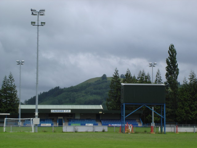
Recreation Ground, Caersws
Recreation Ground is a multi-use stadium in Caersws, Wales. It is currently used mostly for football matches and is the home ground of Caersws F.C. The...
Nearby Amenities
Located within 500m of 52.539032,-3.456125Have you been to Caersws?
Leave your review of Caersws below (or comments, questions and feedback).