Caerhun

Community in Caernarfonshire

Wales

Caerhun

Penygadair summit 2 A reprise, under better skies of another image captured at this prominent and very satisfying summit. My assistants have evolved in the intervening years (see <a href="https://www.geograph.org.uk/photo/2873557">SH7369 : Penygadair summit</a>).
Penygadair summit 2 Credit: Jonathan Wilkins

Caerhun is a community located in the county of Caernarfonshire, Wales. It is situated near the River Conwy and is part of the Conwy Valley. The community covers an area of approximately 17 square kilometers and has a population of around 600 people.

The village of Caerhun is the main settlement within the community and is known for its rich historical and archaeological significance. The centerpiece of the village is the Caerhun Roman Fort, also known as Canovium, which was built during the Roman occupation of Britain in the 1st century AD. The fort played a strategic role in guarding the nearby river crossing and trade routes.

Apart from the Roman fort, Caerhun is also home to the Church of St. Mary, a medieval church that dates back to the 12th century. The church features stunning architectural details and is a popular attraction for visitors.

The community is surrounded by picturesque countryside, with rolling hills and farmland. The area offers beautiful landscapes and opportunities for outdoor activities such as hiking and cycling. The nearby River Conwy is also popular for fishing and water sports.

Caerhun is well-connected to other parts of Caernarfonshire through road networks, and the nearby towns of Conwy and Llandudno offer a range of amenities including shops, schools, and healthcare facilities.

Overall, Caerhun is a small but historically significant community that offers a peaceful and scenic environment for residents and visitors alike.

If you have any feedback on the listing, please let us know in the comments section below.

Caerhun Images

Images are sourced within 2km of 53.195556/-3.909557 or Grid Reference SH7268. Thanks to Geograph Open Source API. All images are credited.

Penygadair summit 2 A reprise, under better skies of another image captured at this prominent and very satisfying summit. My assistants have evolved in the intervening years (see <a href="https://www.geograph.org.uk/photo/2873557">SH7369 : Penygadair summit</a>).
Penygadair summit 2
A reprise, under better skies of another image captured at this prominent and very satisfying summit. My assistants have evolved in the intervening years (see SH7369 : Penygadair summit).
Penygadair pastures Moorland grazing with a view westwards towards Dulyn and Eigiau.
Penygadair pastures
Moorland grazing with a view westwards towards Dulyn and Eigiau.
Mountain ridge Looking westward from the cleaved rocks of Penygadair summit.
Mountain ridge
Looking westward from the cleaved rocks of Penygadair summit.
Junction of walls Looking down onto enclosed land, with an interesting rectangular intersection of walls. The patches of purple heather tell of long-term difference in land management regimes, because the walls form regular boundaries between green and purple moorland at this season.
Junction of walls
Looking down onto enclosed land, with an interesting rectangular intersection of walls. The patches of purple heather tell of long-term difference in land management regimes, because the walls form regular boundaries between green and purple moorland at this season.
Rock and rowan Rock outcrops are prominent on the steep front of Penygadair and host to some fine rowans with a good crop of berries like red jewels in the bright sun.
Rock and rowan
Rock outcrops are prominent on the steep front of Penygadair and host to some fine rowans with a good crop of berries like red jewels in the bright sun.
Rowan, Clogwynyreryr
View From Waen Bryn-gwenith
Pant Y Griafolen
Pant Y Griafolen
Bwlch-y-gaer nightfall 1 Night falling by the ruined farmstead. Venus is just visible towards the left of the image.
Bwlch-y-gaer nightfall 1
Night falling by the ruined farmstead. Venus is just visible towards the left of the image.
Bwlch-y-gaer nightfall 2 Night falling by the ruined farmstead. Venus is just visible towards the left of the image.
Bwlch-y-gaer nightfall 2
Night falling by the ruined farmstead. Venus is just visible towards the left of the image.
Ascending Foel Lwyd
Ascending Foel Lwyd
Above Cwm Bychan
Above Cwm Bychan
Moorland Below Cwm Bychan
Moorland with ponies Almost featureless moorland is enlivened by grazing ponies and sheep.
Moorland with ponies
Almost featureless moorland is enlivened by grazing ponies and sheep.
Peat hag It is curious that peat is being lost from parts of the slope of Foel Lwyd, enabling grass to grow on the better-drained areas.
Peat hag
It is curious that peat is being lost from parts of the slope of Foel Lwyd, enabling grass to grow on the better-drained areas.
Nothing to see here My assistant, despite having no apparent concern with the interested pony, will not admit its presence by looking at it.
Nothing to see here
My assistant, despite having no apparent concern with the interested pony, will not admit its presence by looking at it.
Carneddau ponies No zoom here! The mountain ponies definitely seem to be tamer these days. Perhaps they are becoming more used to cameras, what with television appearances and all.
Carneddau ponies
No zoom here! The mountain ponies definitely seem to be tamer these days. Perhaps they are becoming more used to cameras, what with television appearances and all.
Rock garden The edge of Foel Lwyd has a scattering of glacially-derived boulders in clumps. Here is an easterly view over Penygadair into Denbighshire.
Rock garden
The edge of Foel Lwyd has a scattering of glacially-derived boulders in clumps. Here is an easterly view over Penygadair into Denbighshire.
Show me another place!

Caerhun is located at Grid Ref: SH7268 (Lat: 53.195556, Lng: -3.909557)

Unitary Authority: Conwy

Police Authority: North Wales

What 3 Words

///relating.baker.scavenger. Near Penmaenmawr, Conwy

Nearby Locations

Pen y Castell Caerhun

Related Wikis

Afon Melynllyn

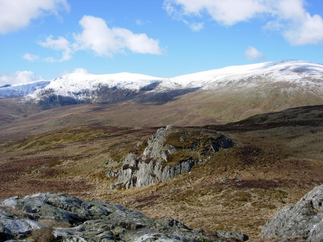
Afon Melynllyn is the outflow from Llyn Melynllyn, a lake in the Carneddau mountains in north-west Wales. It is a tributary of Afon Dulyn, itself a tributary...

Carnedd y Ddelw

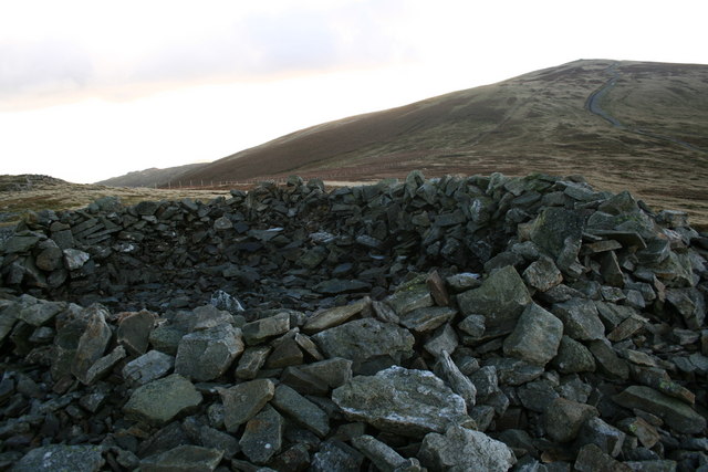
Carnedd y Ddelw is a summit in the Carneddau mountains in north Wales, north-east of Foel-fras. It is the Nuttall top of Drum (Wales). Its eastern slopes...

Bera Mawr

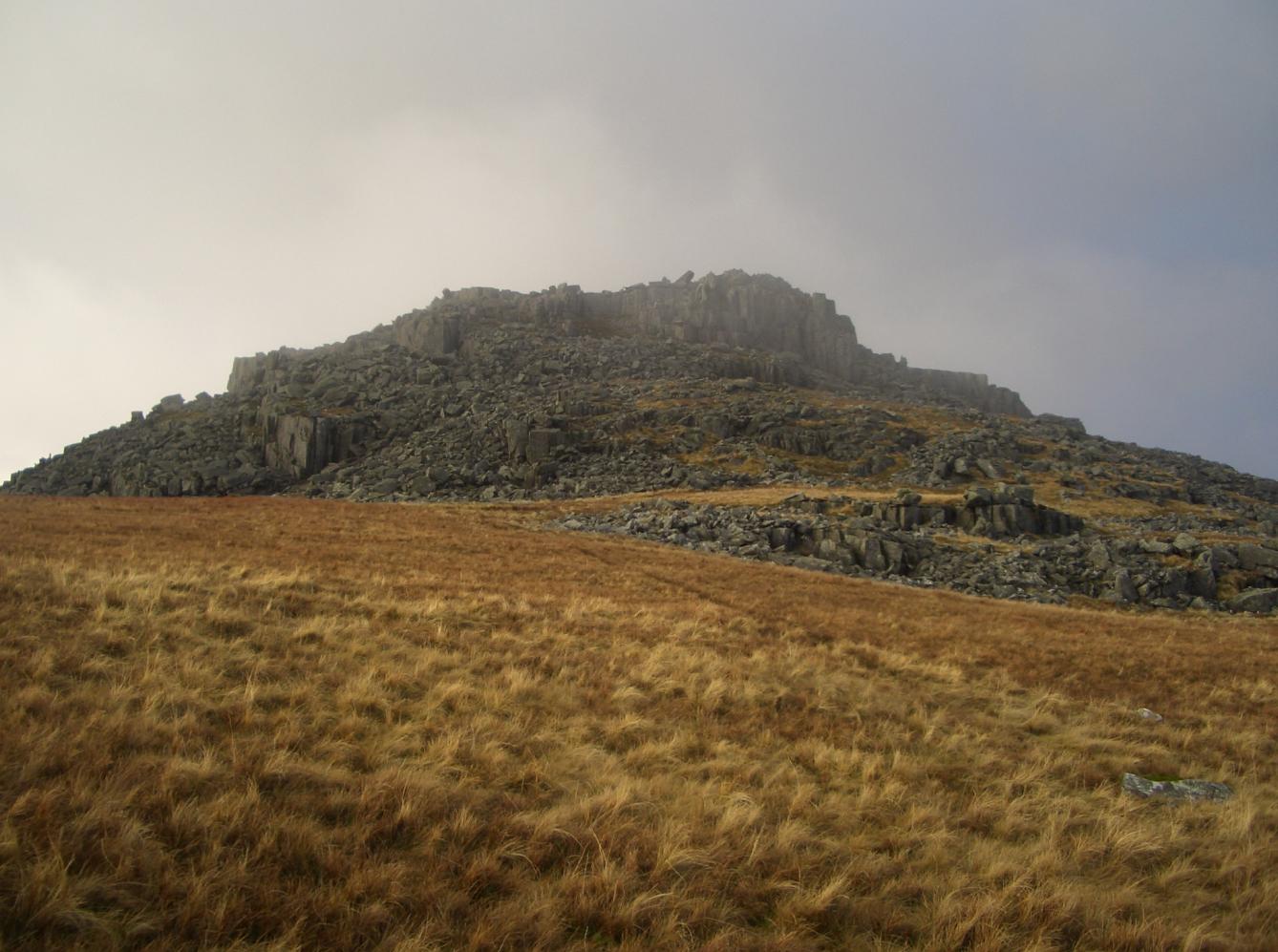
Bera Mawr is a summit in the Carneddau mountains in north Wales, height 794 metres. It and Bera Bach are together known as the Berau, or northern Carneddau...

Pen y Castell

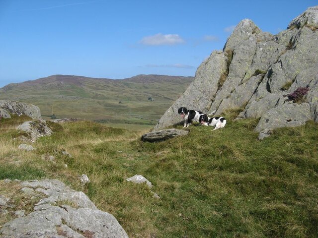
Pen y Castell is a summit in the Carneddau mountains in north Wales. It tops the east ridge of Drum (Wales). The summit consists of rocky outcrops amid...

Nearby Amenities

Located within 500m of 53.195556,-3.909557
Ford: yes
Lat/Long: 53.1971309/-3.9103298
Ffrith-y-bont (ruined)
Place: farm
Lat/Long: 53.1954292/-3.903452
Barrier: stile
Foot: yes
Stile: ladder
Lat/Long: 53.1988137/-3.9062659
Ford: yes
Lat/Long: 53.193458/-3.9046332
Ford: yes
Lat/Long: 53.19458/-3.9076234
The data included in this document is from www.openstreetmap.org. The data is made available under ODbL.

Have you been to Caerhun?

Leave your review of Caerhun below (or comments, questions and feedback).