Brychdyn a Bretton

Community in Flintshire

Wales

Brychdyn a Bretton

Carriage Road through Bretton Woods This tranquil track, heading for Balderton and formerly one of several carriage roads heading ultimately for Eaton Hall, gives no indication of the madness that is the A55 just a few metres to the left.  Taken in the corner of SJ3563 the line of SJ36 runs across the track in front of the camera.
Carriage Road through Bretton Woods Credit: John S Turner

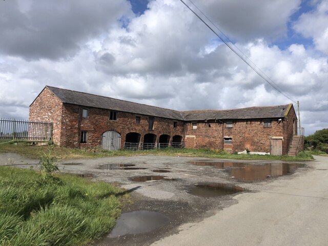
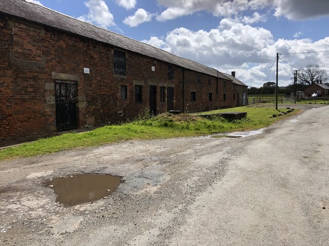
Brychdyn a Bretton is a small community located in the county of Flintshire, Wales. Situated in the northeastern part of the country, it covers an area of approximately 5 square kilometers. The community is primarily rural, characterized by rolling hills, farmlands, and scattered residential properties.

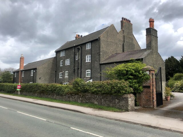
The village of Brychdyn is the main settlement within the community. It is a quaint and peaceful village, with a population of around 500 residents. The village is known for its charming stone houses, which add to its picturesque appeal. The community is surrounded by stunning natural beauty, with lush green fields and woodlands providing a serene and tranquil atmosphere.

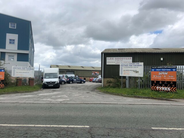
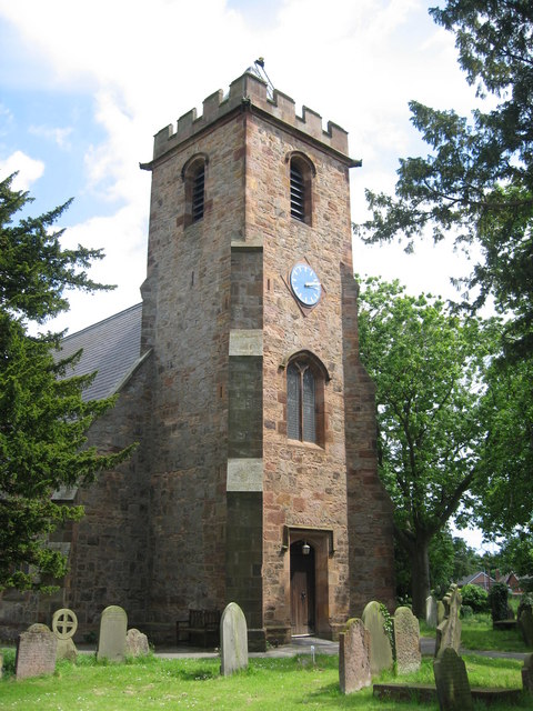
Despite its small size, Brychdyn a Bretton offers several amenities and services to its residents. These include a primary school, a church, a community center, and a post office. The community is also well-connected to neighboring towns and cities through a reliable road network, making it easily accessible to visitors and commuters.

The economy of Brychdyn a Bretton is primarily based on agriculture, with many local residents engaged in farming and livestock rearing. There are also a few small businesses in the area, such as local shops and cafes, which cater to the needs of the community.

Overall, Brychdyn a Bretton is a close-knit and idyllic community, offering a peaceful countryside lifestyle to its residents. With its natural beauty and strong sense of community, it provides a welcoming and charming place to call home.

If you have any feedback on the listing, please let us know in the comments section below.

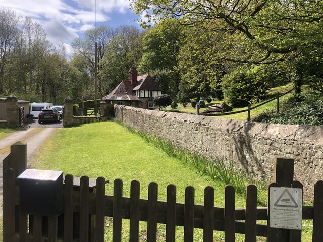
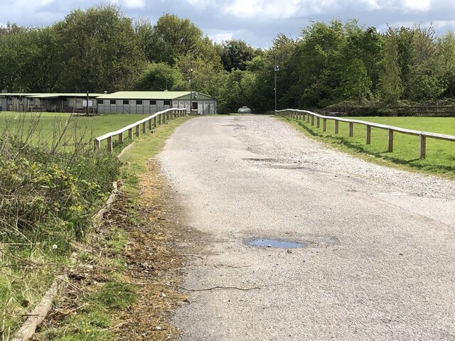
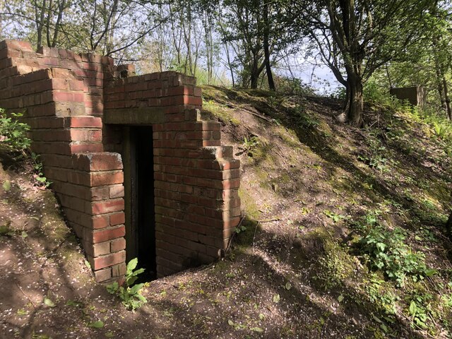
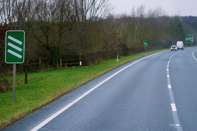
Brychdyn a Bretton Images

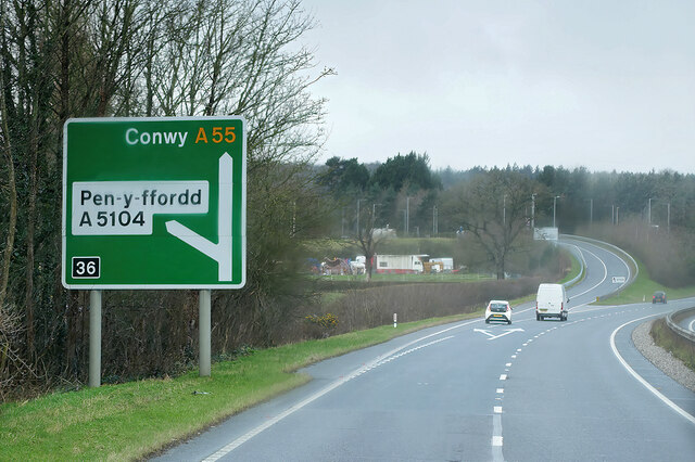
Images are sourced within 2km of 53.169849/-2.985107 or Grid Reference SJ3464. Thanks to Geograph Open Source API. All images are credited.

Carriage Road through Bretton Woods This tranquil track, heading for Balderton and formerly one of several carriage roads heading ultimately for Eaton Hall, gives no indication of the madness that is the A55 just a few metres to the left.  Taken in the corner of SJ3563 the line of SJ36 runs across the track in front of the camera.
Carriage Road through Bretton Woods
This tranquil track, heading for Balderton and formerly one of several carriage roads heading ultimately for Eaton Hall, gives no indication of the madness that is the A55 just a few metres to the left. Taken in the corner of SJ3563 the line of SJ36 runs across the track in front of the camera.
Airbus factory, Broughton The wings for the Airbus are built here
Airbus factory, Broughton
The wings for the Airbus are built here
Barn at Rake Farm
Barn at Rake Farm
Farm building at Rake Farm Very long red brick barn
Farm building at Rake Farm
Very long red brick barn
Airbus Factory, Broughton
Manor House, Broughton Listed as Grade II, this large brick house was part of the Gladstone Estate and dates from the C18, probably with earlier origins.
Manor House, Broughton
Listed as Grade II, this large brick house was part of the Gladstone Estate and dates from the C18, probably with earlier origins.
Manor Lane Industrial Park
Broughton Lodge Lodge to the Gladstone Estate near Broughton
Broughton Lodge
Lodge to the Gladstone Estate near Broughton
The Gladstone Centre Scout training camp
The Gladstone Centre
Scout training camp
Bunker in the woods Built into an embankment. I have found no mention of it anywhere
Bunker in the woods
Built into an embankment. I have found no mention of it anywhere
Park Farm, Broughton
Dilapidated house at Park Farm
Airbus Beluga #3 approaching Hawarden Airport The Airbus Beluga #3 transporter plane approaching Hawarden Airport, viewed from the Broughton Shopping Centre.
Airbus Beluga #3 approaching Hawarden Airport
The Airbus Beluga #3 transporter plane approaching Hawarden Airport, viewed from the Broughton Shopping Centre.
North Wales Expressway at Junction 36A (Broughton) The A55, also known as the North Wales Expressway (Gwibffordd Gogledd Cymru), is the major road in North Wales running for 88 miles between Chester and Holyhead via Conwy and Bangor. 

The A55 is a very high quality road, much of it rebuilt since the 1970s in response to traffic problems in Colwyn Bay, Colwyn and Llandudno caused by traffic having to pass through town centres on totally unsuitable streets, (especially in Conwy where lorries often scraped their paintwork as they passed through 12th century arches in the town's walls), leading to the construction of an east-west expressway bypassing the urban centres. It is a dual carriageway primary route for its entire length with the exception of the point where it crosses the Britannia Bridge over the Menai Strait. All of its junctions are grade separated except for two roundabouts; one east of Penmaenmawr and one in Llanfairfechan. The road originally ran from Chester to Bangor but was extended parallel to the A5 across Anglesey right into Holyhead Docks in 2001.

<span class="nowrap"><a title="http://www.sabre-roads.org.uk/wiki/index.php?title=A55" rel="nofollow ugc noopener" href="http://www.sabre-roads.org.uk/wiki/index.php?title=A55">Link</a><img style="margin-left:2px;" alt="External link" title="External link - shift click to open in new window" src="https://s1.geograph.org.uk/img/external.png" width="10" height="10"/></span>  SABRE
North Wales Expressway at Junction 36A (Broughton)
The A55, also known as the North Wales Expressway (Gwibffordd Gogledd Cymru), is the major road in North Wales running for 88 miles between Chester and Holyhead via Conwy and Bangor. The A55 is a very high quality road, much of it rebuilt since the 1970s in response to traffic problems in Colwyn Bay, Colwyn and Llandudno caused by traffic having to pass through town centres on totally unsuitable streets, (especially in Conwy where lorries often scraped their paintwork as they passed through 12th century arches in the town's walls), leading to the construction of an east-west expressway bypassing the urban centres. It is a dual carriageway primary route for its entire length with the exception of the point where it crosses the Britannia Bridge over the Menai Strait. All of its junctions are grade separated except for two roundabouts; one east of Penmaenmawr and one in Llanfairfechan. The road originally ran from Chester to Bangor but was extended parallel to the A5 across Anglesey right into Holyhead Docks in 2001. LinkExternal link SABRE
Bridge over the North Wales Expressway at Junction 36A (Broughton) The A55, also known as the North Wales Expressway (Gwibffordd Gogledd Cymru), is the major road in North Wales running for 88 miles between Chester and Holyhead via Conwy and Bangor. 

The A55 is a very high quality road, much of it rebuilt since the 1970s in response to traffic problems in Colwyn Bay, Colwyn and Llandudno caused by traffic having to pass through town centres on totally unsuitable streets, (especially in Conwy where lorries often scraped their paintwork as they passed through 12th century arches in the town's walls), leading to the construction of an east-west expressway bypassing the urban centres. It is a dual carriageway primary route for its entire length with the exception of the point where it crosses the Britannia Bridge over the Menai Strait. All of its junctions are grade separated except for two roundabouts; one east of Penmaenmawr and one in Llanfairfechan. The road originally ran from Chester to Bangor but was extended parallel to the A5 across Anglesey right into Holyhead Docks in 2001.

<span class="nowrap"><a title="http://www.sabre-roads.org.uk/wiki/index.php?title=A55" rel="nofollow ugc noopener" href="http://www.sabre-roads.org.uk/wiki/index.php?title=A55">Link</a><img style="margin-left:2px;" alt="External link" title="External link - shift click to open in new window" src="https://s1.geograph.org.uk/img/external.png" width="10" height="10"/></span>  SABRE
Bridge over the North Wales Expressway at Junction 36A (Broughton)
The A55, also known as the North Wales Expressway (Gwibffordd Gogledd Cymru), is the major road in North Wales running for 88 miles between Chester and Holyhead via Conwy and Bangor. The A55 is a very high quality road, much of it rebuilt since the 1970s in response to traffic problems in Colwyn Bay, Colwyn and Llandudno caused by traffic having to pass through town centres on totally unsuitable streets, (especially in Conwy where lorries often scraped their paintwork as they passed through 12th century arches in the town's walls), leading to the construction of an east-west expressway bypassing the urban centres. It is a dual carriageway primary route for its entire length with the exception of the point where it crosses the Britannia Bridge over the Menai Strait. All of its junctions are grade separated except for two roundabouts; one east of Penmaenmawr and one in Llanfairfechan. The road originally ran from Chester to Bangor but was extended parallel to the A5 across Anglesey right into Holyhead Docks in 2001. LinkExternal link SABRE
North Wales Expressway towards Junction 36 at Broughton The A55, also known as the North Wales Expressway (Gwibffordd Gogledd Cymru), is the major road in North Wales running for 88 miles between Chester and Holyhead via Conwy and Bangor. 

The A55 is a very high quality road, much of it rebuilt since the 1970s in response to traffic problems in Colwyn Bay, Colwyn and Llandudno caused by traffic having to pass through town centres on totally unsuitable streets, (especially in Conwy where lorries often scraped their paintwork as they passed through 12th century arches in the town's walls), leading to the construction of an east-west expressway bypassing the urban centres. It is a dual carriageway primary route for its entire length with the exception of the point where it crosses the Britannia Bridge over the Menai Strait. All of its junctions are grade separated except for two roundabouts; one east of Penmaenmawr and one in Llanfairfechan. The road originally ran from Chester to Bangor but was extended parallel to the A5 across Anglesey right into Holyhead Docks in 2001.

<span class="nowrap"><a title="http://www.sabre-roads.org.uk/wiki/index.php?title=A55" rel="nofollow ugc noopener" href="http://www.sabre-roads.org.uk/wiki/index.php?title=A55">Link</a><img style="margin-left:2px;" alt="External link" title="External link - shift click to open in new window" src="https://s1.geograph.org.uk/img/external.png" width="10" height="10"/></span>  SABRE
North Wales Expressway towards Junction 36 at Broughton
The A55, also known as the North Wales Expressway (Gwibffordd Gogledd Cymru), is the major road in North Wales running for 88 miles between Chester and Holyhead via Conwy and Bangor. The A55 is a very high quality road, much of it rebuilt since the 1970s in response to traffic problems in Colwyn Bay, Colwyn and Llandudno caused by traffic having to pass through town centres on totally unsuitable streets, (especially in Conwy where lorries often scraped their paintwork as they passed through 12th century arches in the town's walls), leading to the construction of an east-west expressway bypassing the urban centres. It is a dual carriageway primary route for its entire length with the exception of the point where it crosses the Britannia Bridge over the Menai Strait. All of its junctions are grade separated except for two roundabouts; one east of Penmaenmawr and one in Llanfairfechan. The road originally ran from Chester to Bangor but was extended parallel to the A5 across Anglesey right into Holyhead Docks in 2001. LinkExternal link SABRE
North Wales Expressway (A55)  at Junction 36 The A55, also known as the North Wales Expressway (Gwibffordd Gogledd Cymru), is the major road in North Wales running for 88 miles between Chester and Holyhead via Conwy and Bangor. 

The A55 is a very high quality road, much of it rebuilt since the 1970s in response to traffic problems in Colwyn Bay, Colwyn and Llandudno caused by traffic having to pass through town centres on totally unsuitable streets, (especially in Conwy where lorries often scraped their paintwork as they passed through 12th century arches in the town's walls), leading to the construction of an east-west expressway bypassing the urban centres. It is a dual carriageway primary route for its entire length with the exception of the point where it crosses the Britannia Bridge over the Menai Strait. All of its junctions are grade separated except for two roundabouts; one east of Penmaenmawr and one in Llanfairfechan. The road originally ran from Chester to Bangor but was extended parallel to the A5 across Anglesey right into Holyhead Docks in 2001.

<span class="nowrap"><a title="http://www.sabre-roads.org.uk/wiki/index.php?title=A55" rel="nofollow ugc noopener" href="http://www.sabre-roads.org.uk/wiki/index.php?title=A55">Link</a><img style="margin-left:2px;" alt="External link" title="External link - shift click to open in new window" src="https://s1.geograph.org.uk/img/external.png" width="10" height="10"/></span>  SABRE
North Wales Expressway (A55) at Junction 36
The A55, also known as the North Wales Expressway (Gwibffordd Gogledd Cymru), is the major road in North Wales running for 88 miles between Chester and Holyhead via Conwy and Bangor. The A55 is a very high quality road, much of it rebuilt since the 1970s in response to traffic problems in Colwyn Bay, Colwyn and Llandudno caused by traffic having to pass through town centres on totally unsuitable streets, (especially in Conwy where lorries often scraped their paintwork as they passed through 12th century arches in the town's walls), leading to the construction of an east-west expressway bypassing the urban centres. It is a dual carriageway primary route for its entire length with the exception of the point where it crosses the Britannia Bridge over the Menai Strait. All of its junctions are grade separated except for two roundabouts; one east of Penmaenmawr and one in Llanfairfechan. The road originally ran from Chester to Bangor but was extended parallel to the A5 across Anglesey right into Holyhead Docks in 2001. LinkExternal link SABRE
North Wales Expressway (A55), Bridge at Junction 36 The A55, also known as the North Wales Expressway (Gwibffordd Gogledd Cymru), is the major road in North Wales running for 88 miles between Chester and Holyhead via Conwy and Bangor. 

The A55 is a very high quality road, much of it rebuilt since the 1970s in response to traffic problems in Colwyn Bay, Colwyn and Llandudno caused by traffic having to pass through town centres on totally unsuitable streets, (especially in Conwy where lorries often scraped their paintwork as they passed through 12th century arches in the town's walls), leading to the construction of an east-west expressway bypassing the urban centres. It is a dual carriageway primary route for its entire length with the exception of the point where it crosses the Britannia Bridge over the Menai Strait. All of its junctions are grade separated except for two roundabouts; one east of Penmaenmawr and one in Llanfairfechan. The road originally ran from Chester to Bangor but was extended parallel to the A5 across Anglesey right into Holyhead Docks in 2001.

<span class="nowrap"><a title="http://www.sabre-roads.org.uk/wiki/index.php?title=A55" rel="nofollow ugc noopener" href="http://www.sabre-roads.org.uk/wiki/index.php?title=A55">Link</a><img style="margin-left:2px;" alt="External link" title="External link - shift click to open in new window" src="https://s1.geograph.org.uk/img/external.png" width="10" height="10"/></span>  SABRE
North Wales Expressway (A55), Bridge at Junction 36
The A55, also known as the North Wales Expressway (Gwibffordd Gogledd Cymru), is the major road in North Wales running for 88 miles between Chester and Holyhead via Conwy and Bangor. The A55 is a very high quality road, much of it rebuilt since the 1970s in response to traffic problems in Colwyn Bay, Colwyn and Llandudno caused by traffic having to pass through town centres on totally unsuitable streets, (especially in Conwy where lorries often scraped their paintwork as they passed through 12th century arches in the town's walls), leading to the construction of an east-west expressway bypassing the urban centres. It is a dual carriageway primary route for its entire length with the exception of the point where it crosses the Britannia Bridge over the Menai Strait. All of its junctions are grade separated except for two roundabouts; one east of Penmaenmawr and one in Llanfairfechan. The road originally ran from Chester to Bangor but was extended parallel to the A5 across Anglesey right into Holyhead Docks in 2001. LinkExternal link SABRE
Show me another place!

Brychdyn a Bretton is located at Grid Ref: SJ3464 (Lat: 53.169849, Lng: -2.985107)

Unitary Authority: Flintshire

Police Authority: North Wales

Also known as: Broughton and Bretton

What 3 Words

///punchy.glare.trap. Near Broughton, Flintshire

Related Wikis

Broughton, Flintshire

Broughton (Welsh: Brychdyn) is a village in Flintshire, Wales, close to the Wales–England border, located to the west of the city of Chester, England,...
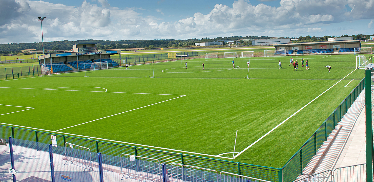
The Airfield

The Airfield, also known by its sponsored name as the Hollingsworth Group International Airfield, is a football stadium in Broughton, Flintshire, Wales...

Bretton, Flintshire

Bretton is a village in Flintshire, Wales. It is located to the west of the city of Chester, near the border with Cheshire, England. Along with the nearby...

Broughton and Bretton

Broughton and Bretton is a community in Flintshire, Wales. It contains the villages of Broughton and Bretton, and had a population of 5,974 as of the 2011...

Nearby Amenities

Located within 500m of 53.169849,-2.985107
Crossing
Crossing: traffic_signals
Lat/Long: 53.1708027/-2.981814
Noexit: yes
Lat/Long: 53.1690105/-2.9859026
Crossing
Crossing: unmarked
Crossing Markings: no
Kerb: lowered
Tactile Paving: yes
Lat/Long: 53.1694563/-2.9858854
Barrier: cycle_barrier
Bicycle: yes
Foot: yes
Horse: no
Motor Vehicle: no
Lat/Long: 53.168606/-2.9866891
Library
Lat/Long: 53.1664865/-2.9856677
Crossing
Crossing: unmarked
Crossing Island: no
Crossing Markings: no
Kerb: lowered
Tactile Paving: yes
Lat/Long: 53.1688079/-2.9860785
Barrier: bollard
Lat/Long: 53.1676354/-2.9804843
Post Box
Lat/Long: 53.1667148/-2.9846364
Traffic Calming: hump
Lat/Long: 53.1676118/-2.9830267
Traffic Signals
Traffic Signals: signal
Traffic Signals Direction: forward
Lat/Long: 53.1698127/-2.9823924
Bus Stop
Broughton, Chester Road / Airbus
Bus: yes
Naptan AtcoCode: 5120AWD71432
Naptan Bearing: W
Naptan CommonName: Airbus
Naptan Crossing: St Mary's Way
Naptan Indicator: after
Naptan Landmark: St Mary`s Church
Naptan LocalityName: Broughton
Naptan NaptanCode: fliagaw
Naptan ShortCommonName: St Mary`s Church
Naptan Street: Chester Road
Public Transport: platform
Source: naptan_import
Lat/Long: 53.169654/-2.9829901
Crossing
Crossing: unmarked
Crossing Island: no
Crossing Markings: no
Kerb: lowered
Tactile Paving: yes
Lat/Long: 53.1693816/-2.9879046
Crossing
Crossing: unmarked
Crossing Island: no
Crossing Markings: no
Kerb: lowered
Tactile Paving: yes
Lat/Long: 53.1692513/-2.9880923
Crossing
Crossing: unmarked
Crossing Markings: no
Kerb: lowered
Tactile Paving: yes
Lat/Long: 53.1685898/-2.9877361
Crossing
Crossing: unmarked
Crossing Markings: no
Kerb: lowered
Tactile Paving: yes
Lat/Long: 53.1684455/-2.9875485
Barrier: cycle_barrier
Bicycle: yes
Foot: yes
Horse: no
Motor Vehicle: no
Lat/Long: 53.1683414/-2.9874192
Barrier: cycle_barrier
Bicycle: yes
Foot: yes
Horse: no
Motor Vehicle: no
Lat/Long: 53.1695685/-2.9877109
Crossing
Crossing: unmarked
Crossing Island: no
Crossing Markings: no
Kerb: lowered
Tactile Paving: yes
Lat/Long: 53.1686722/-2.9862873
Crossing
Crossing: unmarked
Crossing Markings: no
Kerb: lowered
Tactile Paving: yes
Lat/Long: 53.1695421/-2.9860226
Barrier: bollard
Bicycle: yes
Foot: yes
Horse: yes
Motor Vehicle: no
Lat/Long: 53.16874/-2.9861829
Barrier: bollard
Bicycle: dismount
Foot: yes
Motor Vehicle: no
Lat/Long: 53.1695859/-2.9861717
Direction: 145
Generator Method: photovoltaic
Generator Output Electricity: yes
Generator Solar Modules: 12
Generator Source: solar
Generator Type: solar_photovoltaic_panel
Location: roof
Power: generator
Lat/Long: 53.1663452/-2.988431
Direction: 145
Generator Method: photovoltaic
Generator Output Electricity: yes
Generator Solar Modules: 12
Generator Source: solar
Generator Type: solar_photovoltaic_panel
Location: roof
Power: generator
Lat/Long: 53.1663055/-2.9885168
Direction: 145
Generator Method: photovoltaic
Generator Output Electricity: yes
Generator Solar Modules: 12
Generator Source: solar
Generator Type: solar_photovoltaic_panel
Location: roof
Power: generator
Lat/Long: 53.1662733/-2.9886416
Direction: 145
Generator Method: photovoltaic
Generator Output Electricity: yes
Generator Solar Modules: 12
Generator Source: solar
Generator Type: solar_photovoltaic_panel
Location: roof
Power: generator
Lat/Long: 53.16641/-2.9883009
Direction: 145
Generator Method: photovoltaic
Generator Output Electricity: yes
Generator Solar Modules: 12
Generator Source: solar
Generator Type: solar_photovoltaic_panel
Location: roof
Power: generator
Lat/Long: 53.1664494/-2.9882198
Direction: 145
Generator Method: photovoltaic
Generator Output Electricity: yes
Generator Solar Modules: 12
Generator Source: solar
Generator Type: solar_photovoltaic_panel
Location: roof
Power: generator
Lat/Long: 53.1662269/-2.9887389
Direction: 145
Generator Method: photovoltaic
Generator Output Electricity: yes
Generator Solar Modules: 12
Generator Source: solar
Generator Type: solar_photovoltaic_panel
Location: roof
Power: generator
Lat/Long: 53.1661891/-2.988873
Direction: 145
Generator Method: photovoltaic
Generator Output Electricity: yes
Generator Solar Modules: 12
Generator Source: solar
Generator Type: solar_photovoltaic_panel
Location: roof
Power: generator
Lat/Long: 53.1661448/-2.9889628
Direction: 145
Generator Method: photovoltaic
Generator Output Electricity: yes
Generator Solar Modules: 14
Generator Source: solar
Generator Type: solar_photovoltaic_panel
Location: roof
Power: generator
Lat/Long: 53.1664898/-2.9888153
Direction: 235
Generator Method: photovoltaic
Generator Output Electricity: yes
Generator Solar Modules: 12
Generator Source: solar
Generator Type: solar_photovoltaic_panel
Location: roof
Power: generator
Lat/Long: 53.1665893/-2.9886657
Direction: 235
Generator Method: photovoltaic
Generator Output Electricity: yes
Generator Solar Modules: 12
Generator Source: solar
Generator Type: solar_photovoltaic_panel
Location: roof
Power: generator
Lat/Long: 53.1666373/-2.9887302
Direction: 235
Generator Method: photovoltaic
Generator Output Electricity: yes
Generator Solar Modules: 12
Generator Source: solar
Generator Type: solar_photovoltaic_panel
Location: roof
Power: generator
Lat/Long: 53.1666967/-2.9888099
Direction: 235
Generator Method: photovoltaic
Generator Output Electricity: yes
Generator Solar Modules: 12
Generator Source: solar
Generator Type: solar_photovoltaic_panel
Location: roof
Power: generator
Lat/Long: 53.1666032/-2.9880402
Direction: 235
Generator Method: photovoltaic
Generator Output Electricity: yes
Generator Solar Modules: 12
Generator Source: solar
Generator Type: solar_photovoltaic_panel
Location: roof
Power: generator
Lat/Long: 53.1666498/-2.9881032
Direction: 235
Generator Method: photovoltaic
Generator Output Electricity: yes
Generator Solar Modules: 12
Generator Source: solar
Generator Type: solar_photovoltaic_panel
Location: roof
Power: generator
Lat/Long: 53.1667076/-2.9881837
Direction: 235
Generator Method: photovoltaic
Generator Output Electricity: yes
Generator Solar Modules: 12
Generator Source: solar
Generator Type: solar_photovoltaic_panel
Location: roof
Power: generator
Lat/Long: 53.1667575/-2.9882521
Direction: 235
Generator Method: photovoltaic
Generator Output Electricity: yes
Generator Solar Modules: 12
Generator Source: solar
Generator Type: solar_photovoltaic_panel
Location: roof
Power: generator
Lat/Long: 53.1668428/-2.9882815
Direction: 235
Generator Method: photovoltaic
Generator Output Electricity: yes
Generator Solar Modules: 12
Generator Source: solar
Generator Type: solar_photovoltaic_panel
Location: roof
Power: generator
Lat/Long: 53.1668897/-2.9883519
Direction: 235
Generator Method: photovoltaic
Generator Output Electricity: yes
Generator Solar Modules: 12
Generator Source: solar
Generator Type: solar_photovoltaic_panel
Location: roof
Power: generator
Lat/Long: 53.1669412/-2.9884163
Direction: 235
Generator Method: photovoltaic
Generator Output Electricity: yes
Generator Solar Modules: 12
Generator Source: solar
Generator Type: solar_photovoltaic_panel
Location: roof
Power: generator
Lat/Long: 53.1669951/-2.9884807
Direction: 145
Generator Method: photovoltaic
Generator Output Electricity: yes
Generator Solar Modules: 12
Generator Source: solar
Generator Type: solar_photovoltaic_panel
Location: roof
Power: generator
Lat/Long: 53.1669312/-2.9886537
Direction: 145
Generator Method: photovoltaic
Generator Output Electricity: yes
Generator Solar Modules: 12
Generator Source: solar
Generator Type: solar_photovoltaic_panel
Location: roof
Power: generator
Lat/Long: 53.1668859/-2.988743
Direction: 145
Generator Method: photovoltaic
Generator Output Electricity: yes
Generator Solar Modules: 12
Generator Source: solar
Generator Type: solar_photovoltaic_panel
Location: roof
Power: generator
Lat/Long: 53.1668403/-2.9888327
Bus Stop
Broughton, Chester Road / Wood Lane
Bus: yes
Naptan AtcoCode: 5120FLX17027
Naptan Bearing: NW
Naptan CommonName: Wood Lane
Naptan Crossing: Wood Lane
Naptan Indicator: after
Naptan LocalityName: Broughton
Naptan NaptanCode: fliagjt
Naptan ShortCommonName: Broughton Arriva Depot
Naptan Street: Chester Road
Naptan Verified: no
Public Transport: platform
Source: naptan_import
Lat/Long: 53.1698795/-2.9908548
Bus Stop
Broughton, Main Road / Wynnstay Road
Bus: yes
Naptan AtcoCode: 5120AWD71424
Naptan Bearing: SW
Naptan BusStopType: CUS
Naptan CommonName: Wynnstay Road
Naptan Crossing: Wynnstay Road
Naptan Indicator: after
Naptan LocalityName: Broughton
Naptan NaptanCode: fliagjd
Naptan ShortCommonName: Old Chester Road
Naptan Street: Main Road
Public Transport: platform
Source: naptan_import
Lat/Long: 53.1679787/-2.9879328
Bus Stop
Broughton, Wynnstay Road / Eaton Close
Bus: yes
Naptan AtcoCode: 5120AWD71425
Naptan Bearing: NW
Naptan CommonName: Eaton Close
Naptan Crossing: Eaton Close
Naptan Indicator: before
Naptan LocalityName: Broughton
Naptan NaptanCode: fliagjw
Naptan Street: Wynnstay Road
Public Transport: platform
Source: naptan_import
Lat/Long: 53.1676269/-2.9857492
Bus Stop
Broughton, Broughton Hall Road / Broughton Junior School
Bus: yes
Naptan AtcoCode: 5120AWD71426
Naptan Bearing: NE
Naptan CommonName: Broughton Junior School
Naptan Crossing: Parkfield Road
Naptan Indicator: o/s
Naptan Landmark: Broughton Junior School
Naptan LocalityName: Broughton
Naptan NaptanCode: fliagdj
Naptan ShortCommonName: Broughton Library
Naptan Street: Broughton Hall Road
Public Transport: platform
Source: naptan_import
Lat/Long: 53.1663414/-2.985414
Bus Stop
Broughton, Chester Road / Airbus
Bus: yes
Naptan AtcoCode: 5120AWD71430
Naptan Bearing: E
Naptan CommonName: Airbus
Naptan Crossing: Broughton Hall Road
Naptan Indicator: after
Naptan Landmark: Airbus
Naptan LocalityName: Broughton
Naptan NaptanCode: fliagda
Naptan Street: Chester Road
Public Transport: platform
Source: naptan_import
Lat/Long: 53.170065/-2.9810782
Bus Stop
Broughton, Chester Road / Wood Lane
Bus: yes
Naptan AtcoCode: 5120WDB22150
Naptan Bearing: SE
Naptan CommonName: Wood Lane
Naptan Crossing: Wood Lane
Naptan Indicator: before
Naptan LocalityName: Broughton
Naptan NaptanCode: flijwap
Naptan ShortCommonName: Broughton Arriva Depot
Naptan Street: Chester Road
Naptan Verified: no
Public Transport: platform
Source: naptan_import
Lat/Long: 53.1699656/-2.9907891
Direction: 195
Generator Method: photovoltaic
Generator Output Electricity: yes
Generator Solar Modules: 7
Generator Source: solar
Generator Type: solar_photovoltaic_panel
Location: roof
Power: generator
Lat/Long: 53.1686801/-2.9819325
Direction: 105
Generator Method: photovoltaic
Generator Output Electricity: yes
Generator Solar Modules: 7
Generator Source: solar
Generator Type: solar_photovoltaic_panel
Location: roof
Power: generator
Lat/Long: 53.1686994/-2.9818788
Direction: SE
Generator Method: photovoltaic
Generator Output Electricity: yes
Generator Solar Modules: 14
Generator Source: solar
Generator Type: solar_photovoltaic_panel
Location: roof
Power: generator
Lat/Long: 53.1661717/-2.9829202
Direction: 265
Generator Method: photovoltaic
Generator Output Electricity: yes
Generator Solar Modules: 16
Generator Source: solar
Generator Type: solar_photovoltaic_panel
Location: roof
Power: generator
Lat/Long: 53.1699326/-2.984089
Direction: SSW
Generator Method: photovoltaic
Generator Output Electricity: yes
Generator Solar Modules: 14
Generator Source: solar
Generator Type: solar_photovoltaic_panel
Location: roof
Power: generator
Lat/Long: 53.166556/-2.98576
Direction: 195
Generator Method: photovoltaic
Generator Output Electricity: yes
Generator Solar Modules: 12
Generator Source: solar
Generator Type: solar_photovoltaic_panel
Location: roof
Power: generator
Lat/Long: 53.1666316/-2.9858887
Direction: 145
Generator Method: photovoltaic
Generator Output Electricity: yes
Generator Solar Modules: 10
Generator Source: solar
Generator Type: solar_photovoltaic_panel
Location: roof
Power: generator
Lat/Long: 53.1664885/-2.9881384
Traffic Signals
Traffic Signals: signal
Traffic Signals Direction: forward
Lat/Long: 53.1700427/-2.9821234
Cycleway: asl
Direction: forward
Lat/Long: 53.1700055/-2.9821082
Traffic Signals
Traffic Signals: signal
Traffic Signals Direction: backward
Lat/Long: 53.1699248/-2.9816912
Cycleway: asl
Direction: backward
Lat/Long: 53.1699152/-2.9817512
Cycleway: asl
Direction: forward
Lat/Long: 53.1698233/-2.9823261
Traffic Calming: hump
Lat/Long: 53.1673452/-2.9837127
Traffic Signals
Traffic Signals: signal
Traffic Signals Direction: forward
Lat/Long: 53.1708278/-2.9817652
Traffic Signals
Traffic Signals: signal
Traffic Signals Direction: backward
Lat/Long: 53.1707793/-2.9818576
Bus Stop
Bus: yes
Public Transport: platform
Lat/Long: 53.1673913/-2.990089
The data included in this document is from www.openstreetmap.org. The data is made available under ODbL.

Have you been to Brychdyn a Bretton?

Leave your review of Brychdyn a Bretton below (or comments, questions and feedback).