Llansawel

Community in Glamorgan

Wales

Llansawel

The Former Bethesda Chapel, Briton Ferry
The Former Bethesda Chapel, Briton Ferry Credit: Chris Andrews

Llansawel is a small community located in Glamorgan, Wales. It is situated in the western part of the county, approximately 12 miles northwest of the city of Swansea. The community falls within the boundaries of the Carmarthenshire county council.

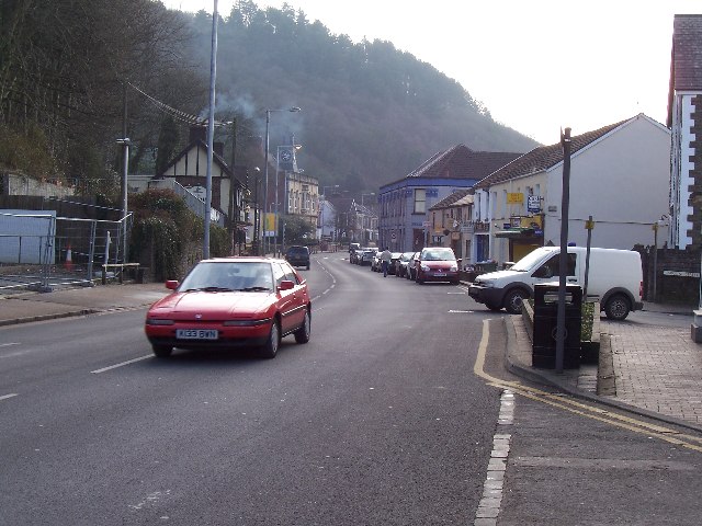
Llansawel is a picturesque village surrounded by rolling hills and lush green countryside. It has a population of around 500 residents, making it a close-knit community where everyone knows each other. The village is known for its rich history and heritage, with many historic buildings and landmarks that attract tourists and visitors.

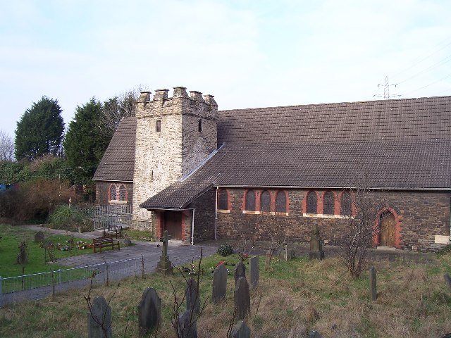
One of the notable landmarks in Llansawel is the St. Sawyl's Church, which dates back to the 12th century and is a prime example of medieval architecture. The church is still in use today and holds regular services. Another significant feature of the village is the Llansawel Primary School, which provides education to the local children.

The community of Llansawel is primarily agricultural, with farming being the main occupation for many residents. The surrounding countryside is dotted with farms and fields, where livestock and crops are raised. The area is known for its sheep farming, and the annual Llansawel Sheep Festival celebrates this tradition.

Despite its small size, Llansawel offers a close-knit and friendly community with a strong sense of pride in its heritage and natural beauty. It provides a peaceful and tranquil environment for residents and visitors alike, making it an ideal place to escape the hustle and bustle of city life.

If you have any feedback on the listing, please let us know in the comments section below.
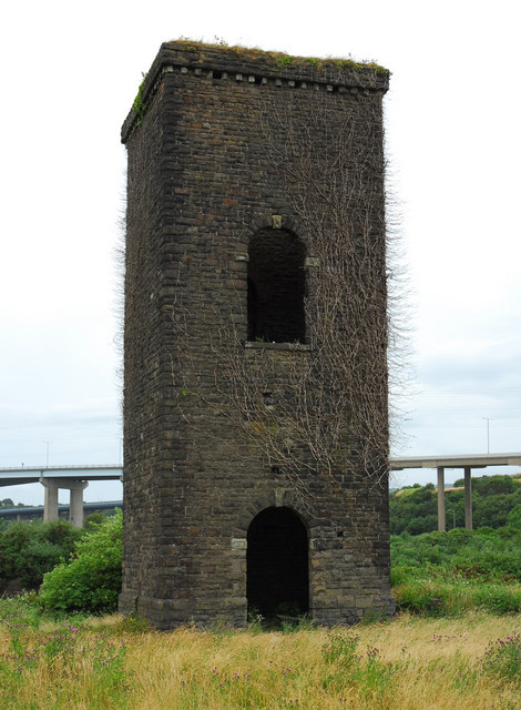
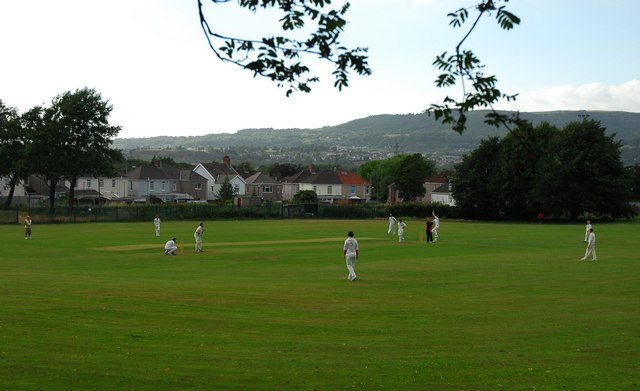
Llansawel Images

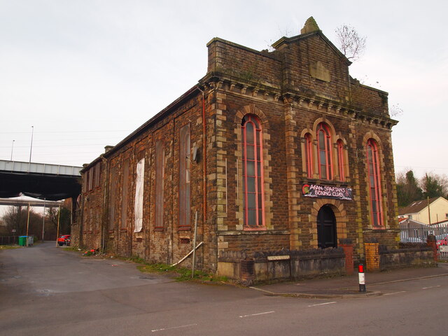
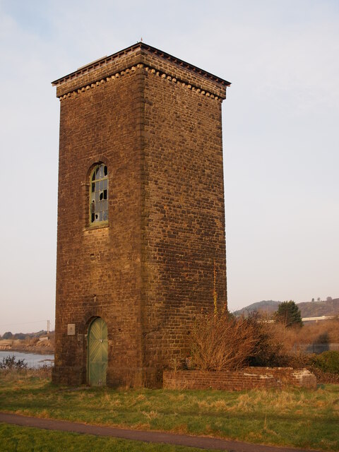
Images are sourced within 2km of 51.63522/-3.810933 or Grid Reference SS7494. Thanks to Geograph Open Source API. All images are credited.

The Former Bethesda Chapel, Briton Ferry
Brunel Tower, Briton Ferry Docks The tower housed a hydraulic accumulator, which operated the lock gate, cranes and other machinery.
Brunel Tower, Briton Ferry Docks
The tower housed a hydraulic accumulator, which operated the lock gate, cranes and other machinery.
Ordnance Survey Cut Mark This OS cut mark can be found on the SW buttress of the bridge. It marks a point 66.971m above mean sea level.
Ordnance Survey Cut Mark
This OS cut mark can be found on the SW buttress of the bridge. It marks a point 66.971m above mean sea level.
Ordnance Survey Cut Mark This damaged OS cut mark can be found on the bridge on the Neath Canal. It marks a point 24.3ft above mean sea level.
Ordnance Survey Cut Mark
This damaged OS cut mark can be found on the bridge on the Neath Canal. It marks a point 24.3ft above mean sea level.
Ordnance Survey Rivet This OS rivet can be found on the north angle, SE side of old lock gates. It marks a point 20.1ft above mean sea level.
Ordnance Survey Rivet
This OS rivet can be found on the north angle, SE side of old lock gates. It marks a point 20.1ft above mean sea level.
Ordnance Survey Rivet This OS rivet can be found on the wall at the junction of Herbert Road. It marks a point 34.574m above mean sea level.
Ordnance Survey Rivet
This OS rivet can be found on the wall at the junction of Herbert Road. It marks a point 34.574m above mean sea level.
Ordnance Survey Rivet This OS rivet can be found on the NE abutment of the bridge. It marks a point 49.365m above mean sea level.
Ordnance Survey Rivet
This OS rivet can be found on the NE abutment of the bridge. It marks a point 49.365m above mean sea level.
Air Shaft in Forest
Air Shaft in Forest
Llwybr defnydd a rennir / Shared use path Llwybr defnydd a rennir ar Ystad Diwydiannol Baglan.

A shared use path at Baglan Indiustrial Estate
Llwybr defnydd a rennir / Shared use path
Llwybr defnydd a rennir ar Ystad Diwydiannol Baglan. A shared use path at Baglan Indiustrial Estate
Llwybr defnydd a rennir / Shared use path Llwybr defnydd a rennir ar Ystad Diwydiannol Baglan

A shared use path at Baglan Industrial Estate.
Llwybr defnydd a rennir / Shared use path
Llwybr defnydd a rennir ar Ystad Diwydiannol Baglan A shared use path at Baglan Industrial Estate.
M4 over River Neath This is the M4 motorway going over the River Neath near Briton Ferry.
M4 over River Neath
This is the M4 motorway going over the River Neath near Briton Ferry.
M4 River Neath Crossing Elevated section from the SE
M4 River Neath Crossing
Elevated section from the SE
Buarth y Gaer Iron Age Hill Fort
Llansawel Church The Church of Saint Mary the Virgin, Llansawel. Now over-shadowed by the A48 road bridge over the river Neath.
Llansawel Church
The Church of Saint Mary the Virgin, Llansawel. Now over-shadowed by the A48 road bridge over the river Neath.
Neath Road, Briton Ferry The A474 Neath Road (looking southwards), follows a north-south route through the square, along the eastern edge of Briton Ferry.
Neath Road, Briton Ferry
The A474 Neath Road (looking southwards), follows a north-south route through the square, along the eastern edge of Briton Ferry.
Furnace Terrace Furnace Terrace faces the A474 just past the junction. Running parallel to the road here are railway and canal which is just out of sight behind the tree and bushes to the right (northwest)
Furnace Terrace
Furnace Terrace faces the A474 just past the junction. Running parallel to the road here are railway and canal which is just out of sight behind the tree and bushes to the right (northwest)
Engine House Tower The remains of the engine house that provided the hydraulic power for Isambard Kingdom Brunel's floating dock at Briton Ferry (opened in 1861).
Engine House Tower
The remains of the engine house that provided the hydraulic power for Isambard Kingdom Brunel's floating dock at Briton Ferry (opened in 1861).
Briton Ferry Town Cricket Ground
Show me another place!

Llansawel is located at Grid Ref: SS7494 (Lat: 51.63522, Lng: -3.810933)

Unitary Authority: Neath Port Talbot

Police Authority: South Wales

Also known as: Briton Ferry

What 3 Words

///bunk.jokes.noses. Near Briton Ferry, Neath Port Talbot

Related Wikis

Briton Ferry East

Briton Ferry East is an electoral ward of Neath Port Talbot county borough, Wales. Briton Ferry West falls within the parish of Briton Ferry and the parliamentary...

Briton Ferry railway station

Briton Ferry railway station is a minor station in the village of Briton Ferry, south Wales. It is 206 miles 40 chains (332.3 km) from the zero point at...

Briton Ferry

Briton Ferry (Welsh: Llansawel) is a town and community in the county borough of Neath Port Talbot, Wales. The Welsh name may indicate that the church...

Briton Ferry Llansawel A.F.C. (ladies)

Briton Ferry Llansawel AFC Ladies is a football team, playing in the Women's Welsh Premier League, to which they were promoted in 2018. Briton Ferry Llansawel...

Nearby Amenities

Located within 500m of 51.63522,-3.810933
Moel Llansawel
Ele: 187
Natural: peak
Source: OS 1:25k
Lat/Long: 51.6328429/-3.809315
Briton Ferry War Memorial
Historic: memorial
Lat/Long: 51.634913/-3.8175782
Chequers
Operator: YMCA
Tourism: hostel
Lat/Long: 51.6371049/-3.8170043
Traffic Signals
Lat/Long: 51.6371687/-3.817299
Bench
Lat/Long: 51.6345968/-3.8180397
Power: tower
Lat/Long: 51.6376272/-3.8061699
Power: tower
Lat/Long: 51.6388324/-3.8076425
Power: tower
Lat/Long: 51.6386843/-3.8111508
Tesco Express
Addr Country: GB
Addr Postcode: SA11 2AX
Addr Street: Neath Road
Brand: Tesco Express
Brand Wikidata: Q98456772
Contact Website: https://www.tesco.com/store-locator/neath-port-talbot/neath-rd
Fhrs Id: 682198
Shop: convenience
Lat/Long: 51.6369281/-3.8169417
The data included in this document is from www.openstreetmap.org. The data is made available under ODbL.

Have you been to Llansawel?

Leave your review of Llansawel below (or comments, questions and feedback).