Bedwas, Tretomos a Machen
Community in Monmouthshire
Wales
Bedwas, Tretomos a Machen
Bedwas, Trethomas and Machen is a community located in Monmouthshire, Wales. It is situated in the southern part of the county, close to the border with Caerphilly. The community comprises three villages: Bedwas, Trethomas, and Machen, each with its distinct character and charm.
Bedwas, the largest of the three villages, is known for its industrial past, particularly in the coal mining industry. Today, it is a thriving residential area with a mix of modern housing developments and traditional cottages. The village offers a range of amenities, including shops, schools, and recreational facilities such as parks and sports clubs.
Trethomas, situated to the northwest of Bedwas, is a smaller village with a close-knit community feel. It also has a history rooted in coal mining, and remnants of this era can still be seen in the area. Trethomas boasts a number of community facilities, including a community center, sports fields, and a local pub.
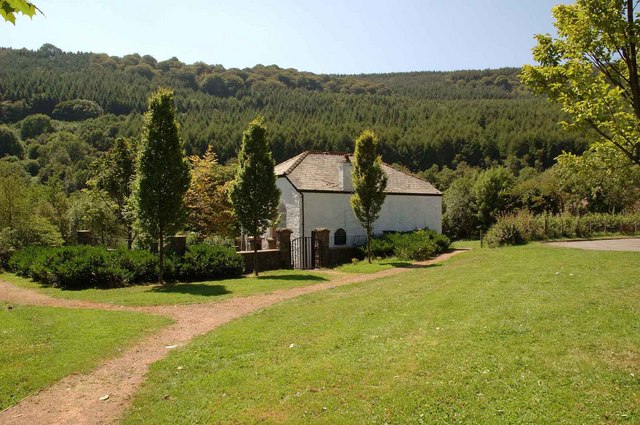
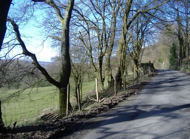
Machen, located to the northeast, is known for its picturesque setting and rich history. The village is nestled in the scenic countryside, surrounded by rolling hills and lush green landscapes. It features a range of architectural styles, from traditional stone cottages to more modern housing. Machen is home to several amenities, including shops, schools, and a village hall.
Overall, Bedwas, Trethomas, and Machen offer a blend of historical significance, natural beauty, and modern conveniences. The three villages provide a warm and welcoming environment for residents and visitors alike.
If you have any feedback on the listing, please let us know in the comments section below.
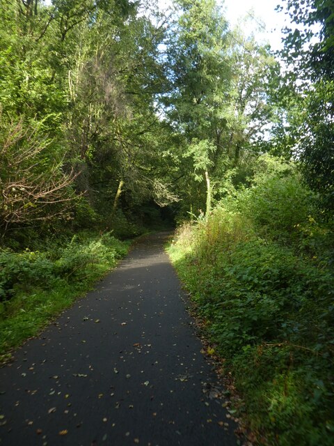
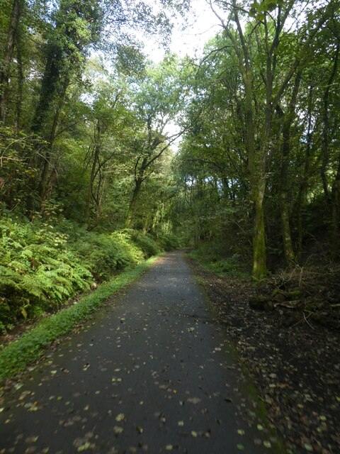
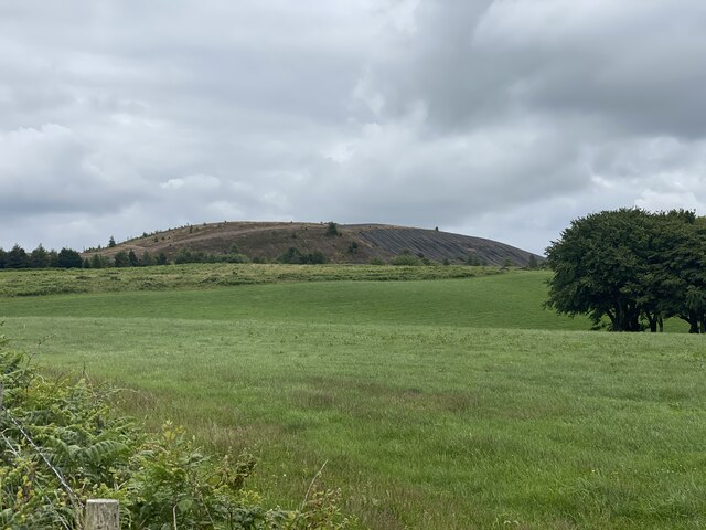
Bedwas, Tretomos a Machen Images
Images are sourced within 2km of 51.603399/-3.198264 or Grid Reference ST1790. Thanks to Geograph Open Source API. All images are credited.


Bedwas, Tretomos a Machen is located at Grid Ref: ST1790 (Lat: 51.603399, Lng: -3.198264)
Unitary Authority: Caerphilly
Police Authority: Gwent
Also known as: Bedwas, Trethomas and Machen
What 3 Words
///feasted.invisible.savings. Near Bedwas, Caerphilly
Nearby Locations
Related Wikis

Mynydd y Grug
Mynydd y Grug is a hill lying just west of the village of Cwmfelinfach and about 4 km to the northeast of Caerphilly in Caerphilly county borough in South...
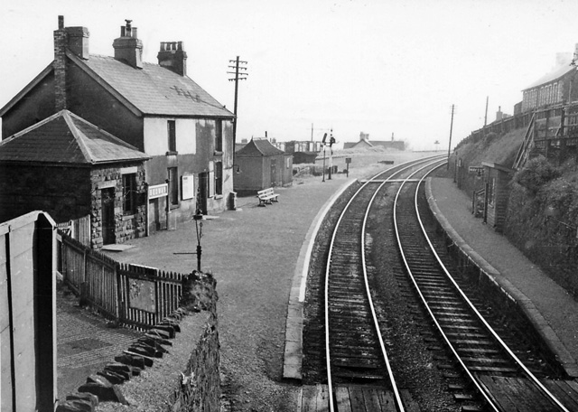
Bedwas railway station
Bedwas railway station served the village of Bedwas, Monmouthshire, Wales, from 1865 to 1965 on the Brecon and Merthyr Tydfil Junction Railway. == History... ==
Bedwas Navigation Colliery
Bedwas Navigation Colliery was a coal mine in the small Welsh village of Bedwas, two miles (3.2 km) north of Caerphilly. The colliery opened in 1913, and...
Bedwas
Bedwas is a town situated two miles north-east of Caerphilly, south Wales, situated in the Caerphilly county borough, within the historic boundaries of...
Bedwas High School
Bedwas High School, formerly known as Bedwas Comprehensive School, is a comprehensive school located east of the Welsh village of Bedwas, Caerphilly county...
Bedwas Workmen's Hall
Bedwas Workmen's Hall, built in 1923, is a community hall situated in the village of Bedwas, in south Wales. It is a Grade II listed building, but still...
Trethomas
Trethomas (English: Thomastown) is a small village 2+1⁄2 miles (4 km) northeast of Caerphilly, southeast Wales, situated in the Caerphilly county borough...

Cadw
Cadw ([ˈkadu], a Welsh verbal noun meaning "keeping/preserving") is the historic environment service of the Welsh Government and part of the Tourism and...
Nearby Amenities
Located within 500m of 51.603399,-3.198264Have you been to Bedwas, Tretomos a Machen?
Leave your review of Bedwas, Tretomos a Machen below (or comments, questions and feedback).