Aberwheeler
Community in Denbighshire
Wales
Aberwheeler

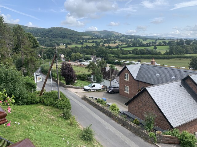
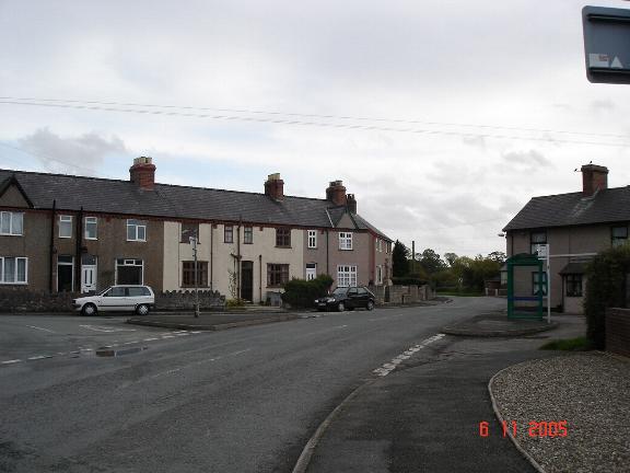
Aberwheeler is a small community located in the county of Denbighshire, Wales. Situated in the northern part of the country, Aberwheeler is surrounded by picturesque countryside and offers a peaceful rural setting.
The community consists of a cluster of houses and farms, with a population of approximately 500 residents. The local economy is predominantly based on agriculture, with many residents involved in farming and livestock rearing.
Aberwheeler is known for its natural beauty, with rolling hills and fields offering breathtaking views. The community is also home to a number of walking trails, providing opportunities for outdoor enthusiasts to explore the surrounding countryside.
In terms of amenities, Aberwheeler has a small local pub that serves as a social hub for residents. However, for more extensive facilities, residents often travel to nearby towns such as Denbigh or Ruthin.
The community has a strong sense of community spirit, with regular events and gatherings organized by local groups and organizations. These events provide opportunities for residents to come together and celebrate their shared heritage and traditions.
Overall, Aberwheeler offers a tranquil and close-knit community for those seeking a peaceful rural lifestyle. Its stunning natural scenery and strong sense of community make it an attractive place to live for those who appreciate the beauty of the Welsh countryside.
If you have any feedback on the listing, please let us know in the comments section below.
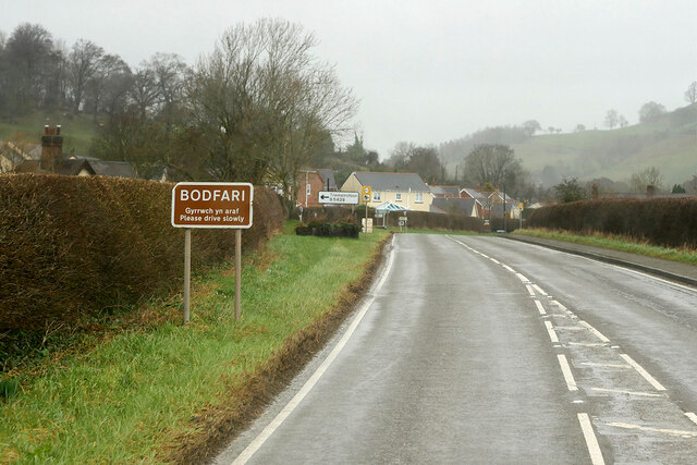
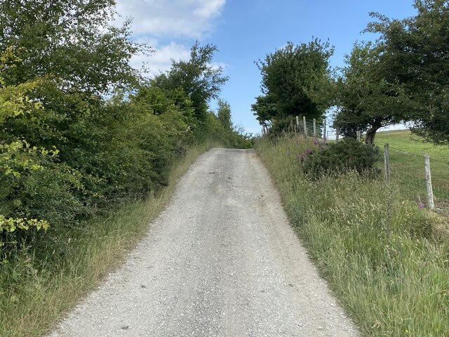
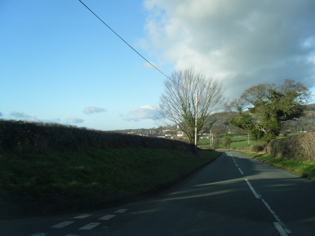
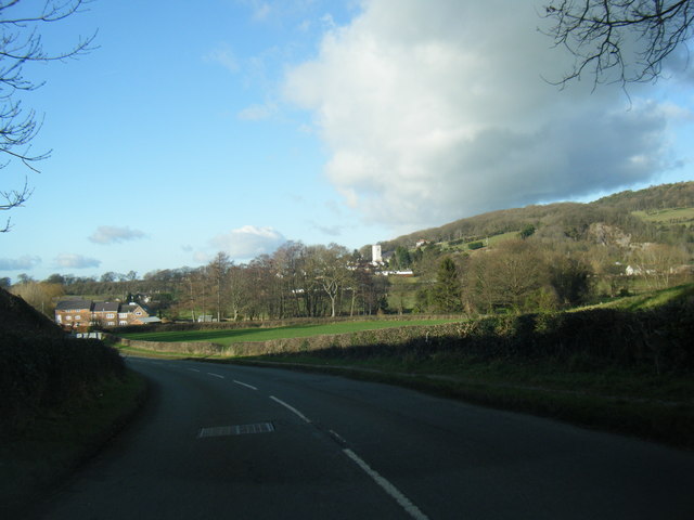
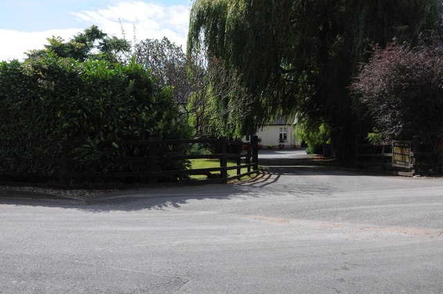
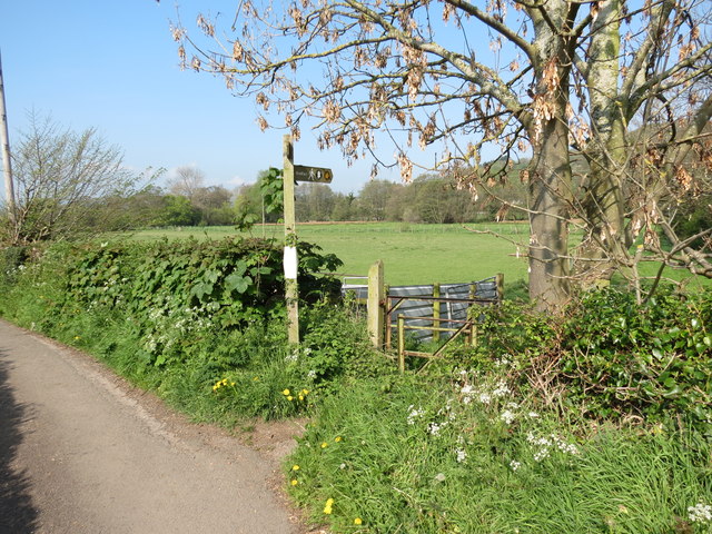
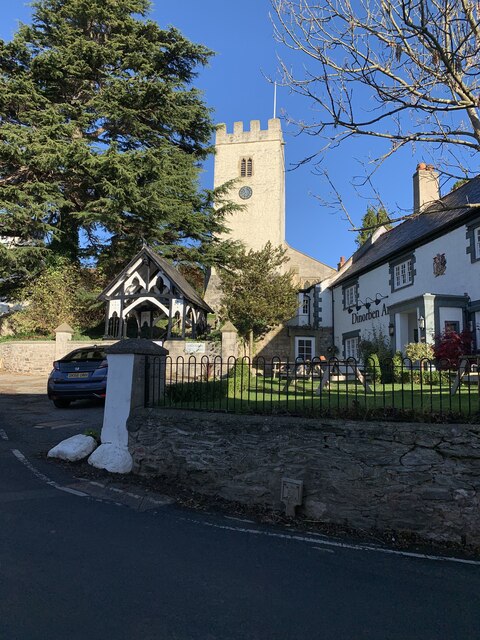
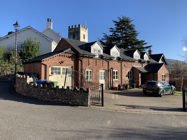
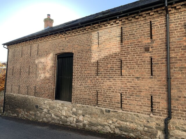
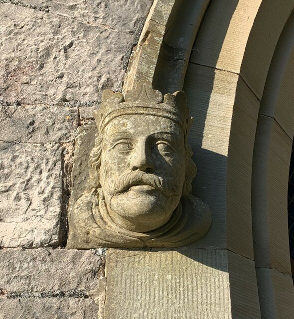
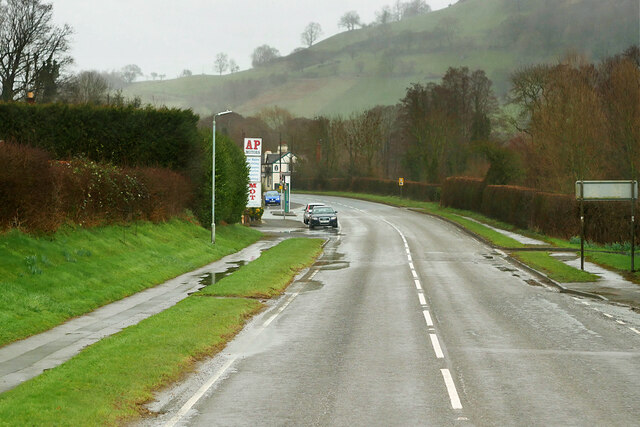
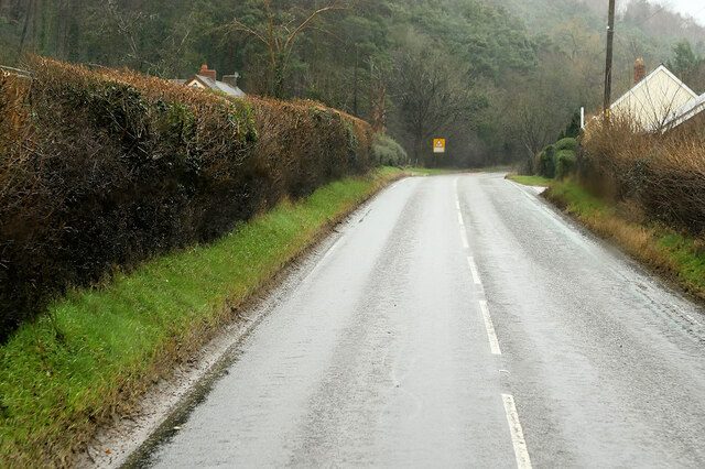
Aberwheeler Images
Images are sourced within 2km of 53.216942/-3.340911 or Grid Reference SJ1069. Thanks to Geograph Open Source API. All images are credited.


Aberwheeler is located at Grid Ref: SJ1069 (Lat: 53.216942, Lng: -3.340911)
Unitary Authority: Denbighshire
Police Authority: North Wales
Also known as: Aberchwiler
What 3 Words
///scaffold.riskiest.slap. Near Trefnant, Denbighshire
Nearby Locations
Related Wikis
Aberwheeler
Aberwheeler (Welsh: Aberchwiler) is a village and community in the Welsh county of Denbighshire, located on the south bank of the River Wheeler (Welsh...
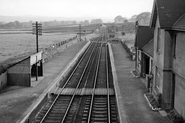
Bodfari railway station
Bodfari railway station was opened on 6 September 1869 by the Mold and Denbigh Junction Railway. Following the Railways Act 1921 the line became part of...

Aled Rural District
Aled was a rural district in the administrative county of Denbighshire, Wales, from 1935 to 1974. The district was created by a county review order in...

Bodfari
Bodfari is a village and community in Denbighshire, Wales. Until the local government reorganisation of 1974, Bodfari was in the historic county of Flintshire...
Nearby Amenities
Located within 500m of 53.216942,-3.340911Have you been to Aberwheeler?
Leave your review of Aberwheeler below (or comments, questions and feedback).