Aberporth
Community in Cardiganshire
Wales
Aberporth
Aberporth is a coastal community located in the county of Cardiganshire, Wales. Situated on the western coast of the country, it lies approximately 6 miles north of Cardigan town. The community is nestled between rolling hills and overlooks the picturesque Cardigan Bay.
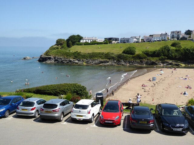
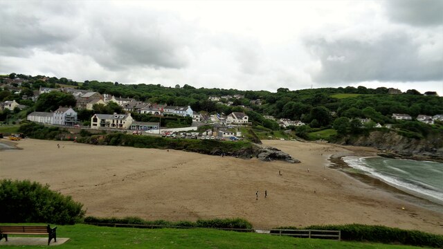
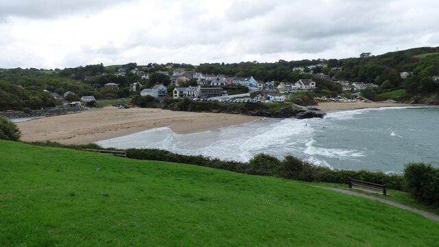
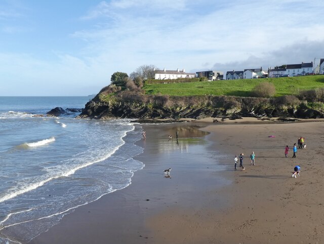
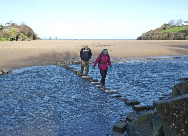
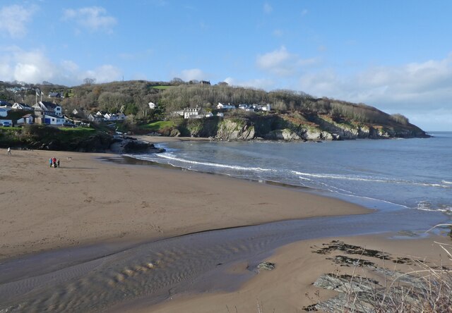
With a population of around 1,200 residents, Aberporth is a small yet vibrant community. It is known for its stunning sandy beaches, which attract visitors from far and wide. The coastline is also popular among water sports enthusiasts, offering excellent conditions for surfing, sailing, and kayaking.
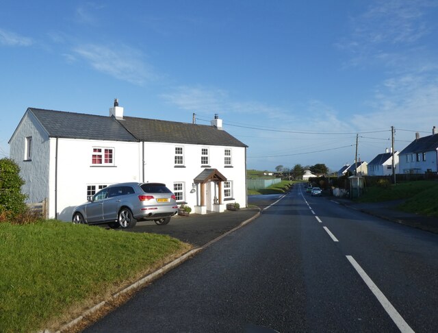
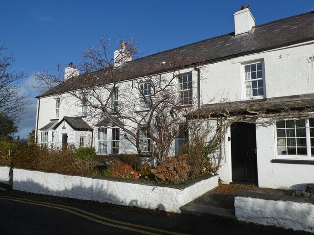
Aberporth boasts a rich history, dating back to the medieval period. The remains of a Norman castle, known as Castle Mound, can still be seen in the village, serving as a reminder of the area's past. The village itself is charming, with traditional Welsh stone houses and a quaint village square.
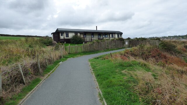
The community is well-equipped with amenities to cater to both locals and tourists. It offers a range of accommodations, including hotels, guesthouses, and self-catering cottages. There are also several cafes, restaurants, and pubs where visitors can enjoy local cuisine and beverages.
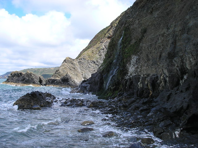
For nature lovers, Aberporth is a paradise. The village is surrounded by beautiful countryside, ideal for walking and hiking. The nearby Ceredigion Coast Path offers breathtaking views of the rugged coastline and is a popular route for outdoor enthusiasts.
Overall, Aberporth is a picturesque coastal community with a rich history, stunning beaches, and ample opportunities for outdoor activities. It is a hidden gem of Cardiganshire and a must-visit destination for those seeking a tranquil and scenic getaway.
If you have any feedback on the listing, please let us know in the comments section below.
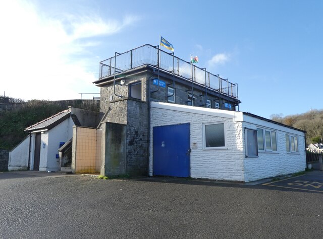
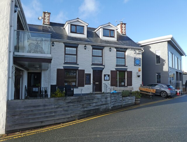
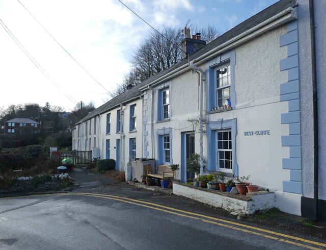
Aberporth Images
Images are sourced within 2km of 52.123385/-4.550661 or Grid Reference SN2550. Thanks to Geograph Open Source API. All images are credited.
Aberporth is located at Grid Ref: SN2550 (Lat: 52.123385, Lng: -4.550661)
Unitary Authority: Ceredigion
Police Authority: Dyfed-Powys
Also known as: Aber-porth
What 3 Words
///culminate.mental.clock. Near Aberporth, Ceredigion
Nearby Locations
Related Wikis

Rhosygadair Newydd
Rhosygadair Newydd is a small village in the community of Aberporth, Ceredigion, Wales, which is 73.9 miles (118.9 km) from Cardiff and 194.1 miles (312...
Aberporth
Aberporth is a seaside village, community and electoral ward in Ceredigion, Wales. The population at the 2001 Census, was 2,485, of whom 49 per cent could...
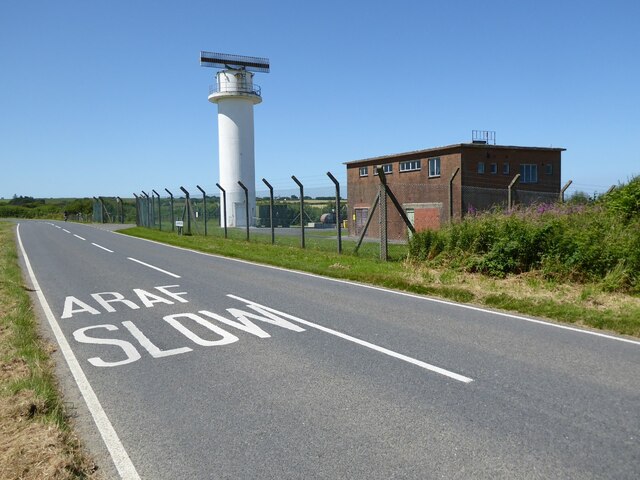
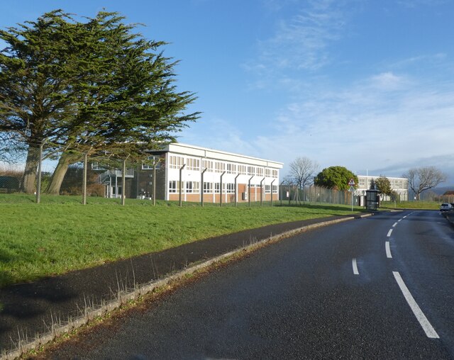
Aberporth Airport
Aberporth Airport (ICAO: EGFA) (Welsh: Maes Awyr Aber-porth) is situated southwest of Aberporth, Ceredigion, Wales. The airport is being developed as West...
Parc-llyn
Parc-llyn (also known as Parcllyn) is a village in the community of Aberporth, Ceredigion, Wales, which is 74.4 miles (119.7 km) from Cardiff and 194...

Clausen Rolling Platform
The Clausen Rolling Platform was a missile launching platform, built at the coastal missile test range of RAE Aberporth, West Wales, in the 1950s. It used...

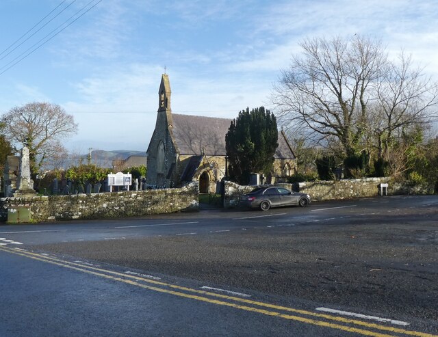
St Michael's Church, Tremain
St Michael's Church, Tremain, is a redundant church in the hamlet of Tremain (or Tremaen), Ceredigion, Wales. It has been designated by Cadw as a Grade...
Glaneirw
Glaneirw is an old mansion in the community of Aberporth, Ceredigion, Wales, which is 72 miles (115.8 km) from Cardiff and 192 miles (309 km) from London...
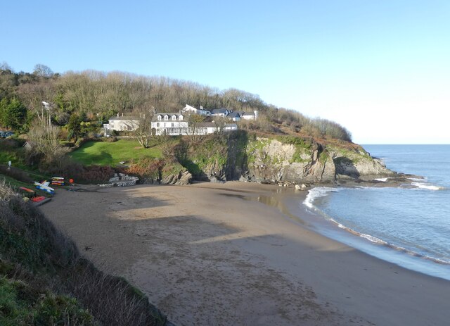
Tresaith
Tresaith (until recently, Treathsaith) is a coastal village in Ceredigion, Wales, between Aberporth and Llangranog. It is linked to the former by a two...
Nearby Amenities
Located within 500m of 52.123385,-4.550661Have you been to Aberporth?
Leave your review of Aberporth below (or comments, questions and feedback).