An Clachan

Settlement in Inverness-shire

Scotland

An Clachan

Kilt Rock
Kilt Rock Credit: Matthew Chadwick

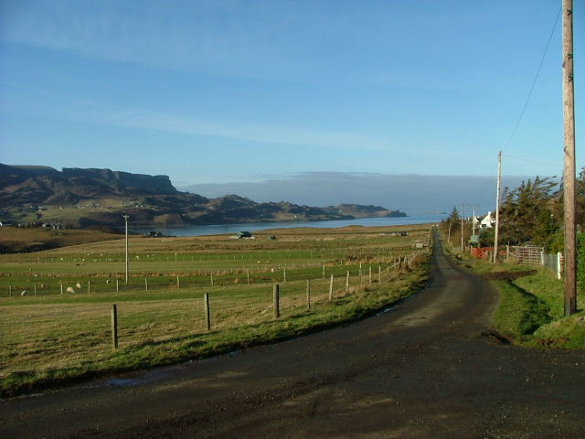
An Clachan is a small village located in Inverness-shire, Scotland. Situated amidst the picturesque Scottish Highlands, the village is known for its stunning natural beauty and rich history. It is nestled on the banks of the River Ness, just a few miles away from the city of Inverness.

The name "An Clachan" translates to "The Village" in Gaelic, and it truly lives up to its name. The village is characterized by its quaint and charming atmosphere, with traditional Highland cottages dotting the landscape. The surrounding area is adorned with lush green fields, rolling hills, and tranquil forests, providing a peaceful retreat for both residents and visitors.

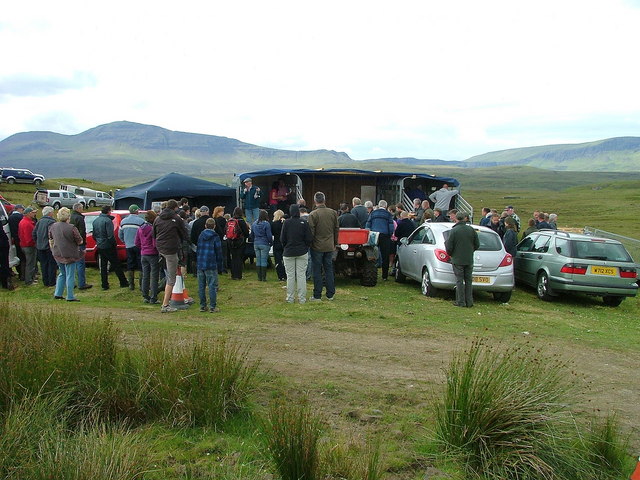
An Clachan boasts a close-knit community, with friendly locals who take pride in their heritage and traditions. The village is home to a handful of amenities, including a local pub, a small grocery store, and a primary school. For more extensive services and facilities, residents often visit nearby Inverness.

The village's location offers a plethora of outdoor activities for nature enthusiasts. The River Ness provides excellent opportunities for fishing, while the surrounding hills and forests are perfect for hiking, cycling, and wildlife spotting. The famous Loch Ness is also just a short drive away, attracting tourists from around the world who hope to catch a glimpse of the legendary Loch Ness Monster.

In summary, An Clachan is a picturesque village in Inverness-shire, known for its natural beauty, friendly community, and proximity to outdoor activities. It is a tranquil haven that allows residents and visitors to immerse themselves in the stunning Scottish Highlands.

If you have any feedback on the listing, please let us know in the comments section below.
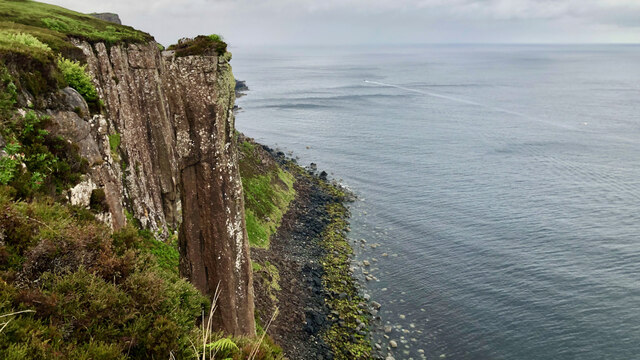
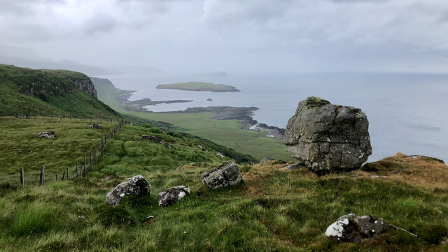
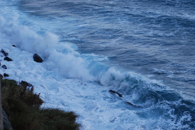
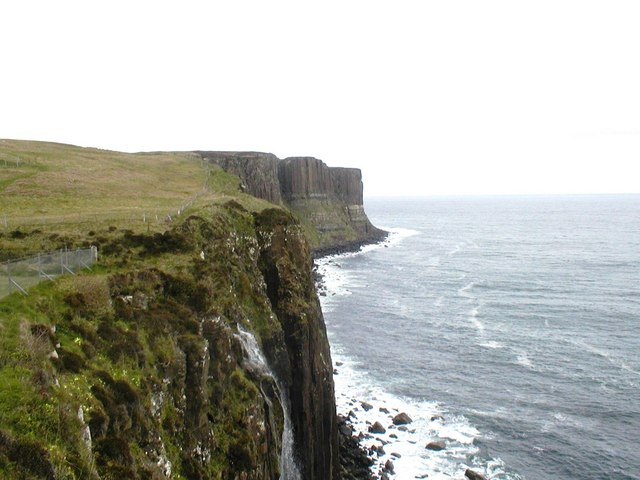
An Clachan Images

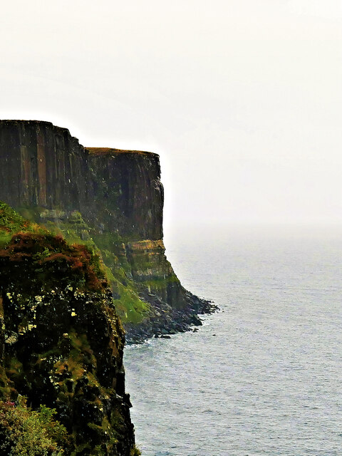
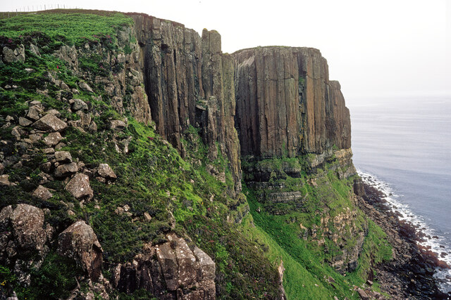
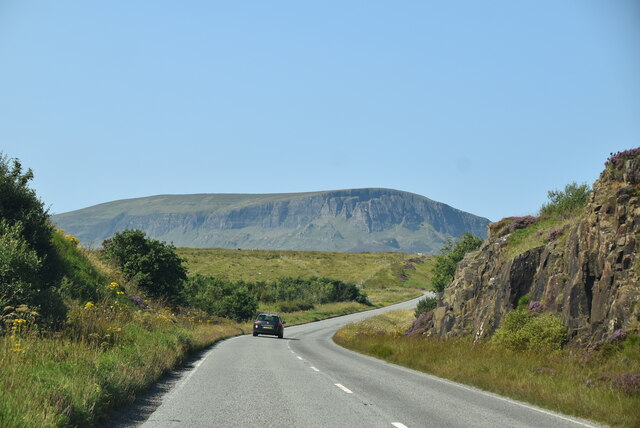
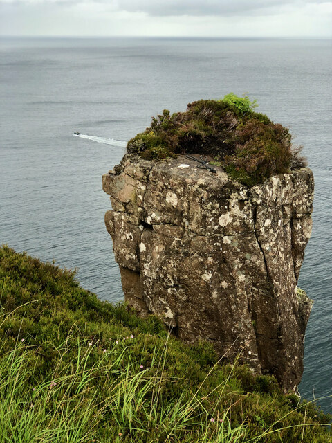
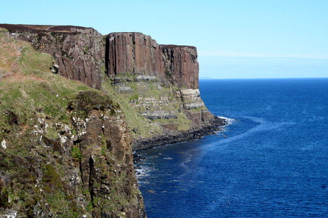
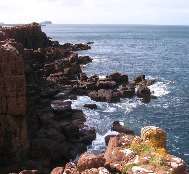
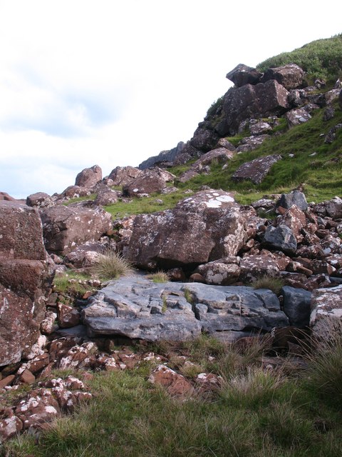
Images are sourced within 2km of 57.621203/-6.204854 or Grid Reference NG4966. Thanks to Geograph Open Source API. All images are credited.

Kilt Rock The stripes and pleats of the kilt highlighted at sunrise. A light mist was just burning off the face of the cliff.
Kilt Rock
The stripes and pleats of the kilt highlighted at sunrise. A light mist was just burning off the face of the cliff.
Creag an Fhèilidh - Kilt Rock Kilt Rock is a 60-metre high sea cliff. Its tall columns are made of hard basalt rock which stand on softer sandstone The Kilt Rock is so-named because the basalt columns are said to resemble the pleats in a kilt.
Creag an Fhèilidh - Kilt Rock
Kilt Rock is a 60-metre high sea cliff. Its tall columns are made of hard basalt rock which stand on softer sandstone The Kilt Rock is so-named because the basalt columns are said to resemble the pleats in a kilt.
Kilt Rock, Isle of Skye There seems to be no contemporary image on Geograph taken so close to the rock itself.  Most views are from the Meallt Waterfall carpark.  I do not know precisely where the camera position was, but my bet is that it was wholly within NG5066.
Kilt Rock, Isle of Skye
There seems to be no contemporary image on Geograph taken so close to the rock itself. Most views are from the Meallt Waterfall carpark. I do not know precisely where the camera position was, but my bet is that it was wholly within NG5066.
View towards Kilt Rock
A855 The A855 runs 33 miles around North Skye from Portree <a href="https://www.geograph.org.uk/photo/7431346">NG4743 : A87, A855 junction, Portree</a> to Uig <a href="https://www.geograph.org.uk/photo/7386522">NG3964 : A855 / A87 junction</a>, via Staffin.
<span class="nowrap"><a title="https://www.sabre-roads.org.uk/wiki/index.php?title=A855" rel="nofollow ugc noopener" href="https://www.sabre-roads.org.uk/wiki/index.php?title=A855">Link</a><img style="margin-left:2px;" alt="External link" title="External link - shift click to open in new window" src="https://s1.geograph.org.uk/img/external.png" width="10" height="10"/></span>
A855
The A855 runs 33 miles around North Skye from Portree NG4743 : A87, A855 junction, Portree to Uig NG3964 : A855 / A87 junction, via Staffin. LinkExternal link
Thrilling Summit Litter Climbers' Discarded Gear Adds Charm to 'The Chimney Stack'.
Thrilling Summit Litter
Climbers' Discarded Gear Adds Charm to 'The Chimney Stack'.
The Chimney Stack One of them there must-see spots on Skye is that famous Kilt Rock, named after its basalt columns that supposedly resemble a pleated kilt. Now, if you use your imagination just a tad more, you’ll notice that the sandstone base upon which these columns perch bears an uncanny resemblance to a proper tartan.

The best viewpoint to take in this spectacle is about a kilometre away. There’s no shortage of photos available online if you’re itching to get a glimpse. Now, I’ve seen it all before, so I wasn’t terribly let down when I discovered that the car park was shut and going through some grand upgrade. They’ve gone and erected industrial fencing, making sure no cheeky visitors are tempted to park on the road and skirt their way around. So, even on a bike, that coveted viewpoint was well and truly off-limits.

But there’s nothing stopping you from strolling along the coast from Staffin and making your way in. Up close, I must admit, the rock is a smidge over-hyped. I found myself more impressed by this sea-stack just a few hundred metres to the north. This stack is the narrowest one I’ve ever laid eyes upon and has been dubbed ‘The Chimney Stack’ by the climbing fraternity.

Just like the Kilt Rock, it boasts those very same basalt columns, but what sets it apart from other stacks I’ve seen is its utter lack of horizontal bedding planes, which makes it look all the more formidable, if you ask me. And believe it or not, some brave souls have actually scaled its treacherous heights. There are two routes graded E5: ‘Sheer Sear’ on the south face and ‘Over The Rainbow’ on the seaward side. I can’t help but admire the sheer guts and dogged determination of these rock athletes, but it did dampen my spirits a little to see their abandoned abseiling gear littering the summit. See <a href="https://www.geograph.org.uk/photo/7517083">NG5066 : Thrilling Summit Litter</a>.

From my blog post <span class="nowrap"><a title="http://www.fhithich.uk/?p=32379" rel="nofollow ugc noopener" href="http://www.fhithich.uk/?p=32379">Link</a><img style="margin-left:2px;" alt="External link" title="External link - shift click to open in new window" src="https://s1.geograph.org.uk/img/external.png" width="10" height="10"/></span>
The Chimney Stack
One of them there must-see spots on Skye is that famous Kilt Rock, named after its basalt columns that supposedly resemble a pleated kilt. Now, if you use your imagination just a tad more, you’ll notice that the sandstone base upon which these columns perch bears an uncanny resemblance to a proper tartan. The best viewpoint to take in this spectacle is about a kilometre away. There’s no shortage of photos available online if you’re itching to get a glimpse. Now, I’ve seen it all before, so I wasn’t terribly let down when I discovered that the car park was shut and going through some grand upgrade. They’ve gone and erected industrial fencing, making sure no cheeky visitors are tempted to park on the road and skirt their way around. So, even on a bike, that coveted viewpoint was well and truly off-limits. But there’s nothing stopping you from strolling along the coast from Staffin and making your way in. Up close, I must admit, the rock is a smidge over-hyped. I found myself more impressed by this sea-stack just a few hundred metres to the north. This stack is the narrowest one I’ve ever laid eyes upon and has been dubbed ‘The Chimney Stack’ by the climbing fraternity. Just like the Kilt Rock, it boasts those very same basalt columns, but what sets it apart from other stacks I’ve seen is its utter lack of horizontal bedding planes, which makes it look all the more formidable, if you ask me. And believe it or not, some brave souls have actually scaled its treacherous heights. There are two routes graded E5: ‘Sheer Sear’ on the south face and ‘Over The Rainbow’ on the seaward side. I can’t help but admire the sheer guts and dogged determination of these rock athletes, but it did dampen my spirits a little to see their abandoned abseiling gear littering the summit. See NG5066 : Thrilling Summit Litter. From my blog post LinkExternal link
"I like that boulder, that is a nice boulder" In the rugged embrace of nature's grip, a massive boulder stands proud, defying the raging sea below. It conjures thoughts of an ass named Donkey, complimenting Shrek's house, saying, "I like that boulder, that is a nice boulder." Perched perilously atop the ancient sea cliffs, it hints at an enduring existence since the glacier's ancient retreat. Gazing into the horizon, Staffin Island and the Òb nan Ròn harbour emerge, distant yet ever-present.
"I like that boulder, that is a nice boulder"
In the rugged embrace of nature's grip, a massive boulder stands proud, defying the raging sea below. It conjures thoughts of an ass named Donkey, complimenting Shrek's house, saying, "I like that boulder, that is a nice boulder." Perched perilously atop the ancient sea cliffs, it hints at an enduring existence since the glacier's ancient retreat. Gazing into the horizon, Staffin Island and the Òb nan Ròn harbour emerge, distant yet ever-present.
Cliffs around Kilt Rock, Trotternish The vertical black, columnar basalt folds make these cliffs a spectacular attraction.
Cliffs around Kilt Rock, Trotternish
The vertical black, columnar basalt folds make these cliffs a spectacular attraction.
Foam and Spume North of Kilt Rock the waves were crashing under the cliffs.
Foam and Spume
North of Kilt Rock the waves were crashing under the cliffs.
The Kilt Rock Not a lot of water on the waterfall
The Kilt Rock
Not a lot of water on the waterfall
Auction time at the sheepdog trials At Ellishadder. This is day six of the Hebridean Circuit Sheepdog Trials held on Ellishadder Common Grazings. Proceeds go to Skye Cancer Care.
Auction time at the sheepdog trials
At Ellishadder. This is day six of the Hebridean Circuit Sheepdog Trials held on Ellishadder Common Grazings. Proceeds go to Skye Cancer Care.
Kilt Rock Almost Mediterranean but taken in March.
Kilt Rock
Almost Mediterranean but taken in March.
No giant, no causeway? The area compares to the Giant's Causeway of County Antrim.
No giant, no causeway?
The area compares to the Giant's Causeway of County Antrim.
Rocky coastline A coastline of low cliffs and jointed strata south of Rubha Garbhaig.
Rocky coastline
A coastline of low cliffs and jointed strata south of Rubha Garbhaig.
Rocks of different ages The large grey slab is an exposure of Jurassic rock which underlies this area, whilst the boulders above are at least 100 million years younger, being dolerite blocks which have fallen from the nearby cliffs.
Rocks of different ages
The large grey slab is an exposure of Jurassic rock which underlies this area, whilst the boulders above are at least 100 million years younger, being dolerite blocks which have fallen from the nearby cliffs.
Show me another place!

An Clachan is located at Grid Ref: NG4966 (Lat: 57.621203, Lng: -6.204854)

Unitary Authority: Highland

Police Authority: Highlands and Islands

Also known as: Clachan

What 3 Words

///motivator.goggles.purse. Near Uig, Highland

Nearby Locations

An Clachan Clachan

Related Wikis

Staffin

Staffin (Scottish Gaelic: Stafain) is a district with the Gaelic name An Taobh Sear, which translates as "the East Side", on the northeast coast of the...

Garafad

Garafad or Garafad, (Scottish Gaelic: An Garradh Fada) is a linear crofting settlement on the east coast of the Trotternish Peninsula of Skye in the...

Ellishadder

Ellishadder (Scottish Gaelic: Ealaiseadar) is a crofting township, situated close to the north shore of the freshwater Loch Mealt, on the Trotternish peninsula...

Loch Mealt

Loch Mealt is an inland fresh-water loch on the Isle of Skye in Scotland. It lies close to Ellishadder and south of Staffin, on the eastern side of the...

Nearby Amenities

Located within 500m of 57.621203,-6.204854
Source: estimate
Lat/Long: 57.6219986/-6.1991384
Post Box
Brand: Royal Mail
Brand Wikidata: Q638098
Collection Times: Mo-Sa 09:30
Operator: Royal Mail
Operator Wikidata: Q638098
Post Box Mounting: pole
Post Box Type: lamp
Ref: IV51 62
Royal Cypher: scottish_crown
Lat/Long: 57.6250203/-6.2038548
Turning Circle
Source: survey
Lat/Long: 57.6183574/-6.2022691
Clachan
Name Gd: An Clachan
Place: hamlet
Source: survey
Lat/Long: 57.6205155/-6.2049397
Power: pole
Lat/Long: 57.6207009/-6.2124175
Power: pole
Lat/Long: 57.6210426/-6.2002069
Power: pole
Lat/Long: 57.6210286/-6.2011751
Power: pole
Lat/Long: 57.6210059/-6.2020528
Power: pole
Lat/Long: 57.6209736/-6.2032203
Power: pole
Lat/Long: 57.6209369/-6.2042549
Power: pole
Lat/Long: 57.62091/-6.2054869
Power: pole
Lat/Long: 57.6208841/-6.2064612
Power: pole
Lat/Long: 57.6208518/-6.2074032
Power: pole
Lat/Long: 57.6208216/-6.2085567
Power: pole
Lat/Long: 57.6207774/-6.2098369
Power: pole
Lat/Long: 57.6207429/-6.211093
Power: pole
Lat/Long: 57.6243982/-6.2106602
Power: pole
Lat/Long: 57.6240608/-6.2112218
Barrier: cattle_grid
Lat/Long: 57.6183054/-6.202054
Power: pole
Lat/Long: 57.6210796/-6.198506
Power: pole
Lat/Long: 57.6215062/-6.1977953
Power: pole
Lat/Long: 57.6196662/-6.1977631
Power: pole
Lat/Long: 57.6200009/-6.1983344
Power: pole
Lat/Long: 57.6206932/-6.1996004
Power: pole
Lat/Long: 57.6210494/-6.1993402
Power: pole
Lat/Long: 57.6218265/-6.1973634
Power: pole
Lat/Long: 57.6224326/-6.200405
Power: pole
Lat/Long: 57.6230057/-6.2007591
Power: pole
Lat/Long: 57.6218251/-6.2003138
Power: pole
Lat/Long: 57.6232671/-6.201207
Power: pole
Lat/Long: 57.6236104/-6.2017113
Power: pole
Lat/Long: 57.6254186/-6.202013
Power: pole
Lat/Long: 57.6252103/-6.2026031
Power: pole
Lat/Long: 57.6250236/-6.2031959
The data included in this document is from www.openstreetmap.org. The data is made available under ODbL.

Have you been to An Clachan?

Leave your review of An Clachan below (or comments, questions and feedback).