Tollard
Settlement in Argyllshire
Scotland
Tollard

Tollard is a small village located in the historical county of Argyllshire, Scotland. Situated in the western part of the country, it lies on the banks of the River Tollard and is surrounded by picturesque landscapes and rolling hills. With a population of around 300 residents, Tollard maintains a close-knit community feel.
The village of Tollard is known for its rich history, dating back several centuries. It was initially established as a farming settlement, and evidence of its agricultural past can still be seen in the surrounding fields and farmland. The local economy has diversified over time, with tourism and outdoor activities playing an increasingly significant role.
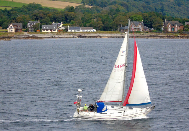
One of the main attractions in Tollard is its proximity to the stunning Loch Tollard, a large freshwater lake that offers breathtaking views and opportunities for fishing and boating. The surrounding area also provides ample opportunities for outdoor enthusiasts, with hiking trails, cycling routes, and nature reserves nearby.
Tollard boasts a range of amenities to cater to its residents and visitors. These include a primary school, a village hall, a post office, and a few local shops and cafes. The sense of community is strengthened by regular events and activities organized by local groups, such as festivals, farmers' markets, and sports tournaments.
Overall, Tollard, Argyllshire, is a charming village that combines natural beauty with a rich heritage. Its friendly community, stunning landscapes, and recreational activities make it an attractive destination for those seeking a peaceful retreat or an outdoor adventure.
If you have any feedback on the listing, please let us know in the comments section below.
Tollard Images
Images are sourced within 2km of 55.859809/-4.9895211 or Grid Reference NS1367. Thanks to Geograph Open Source API. All images are credited.


Tollard is located at Grid Ref: NS1367 (Lat: 55.859809, Lng: -4.9895211)
Unitary Authority: Argyll and Bute
Police Authority: Argyll and West Dunbartonshire
Also known as: Tollard
What 3 Words
///jazzy.jiggle.depravity. Near Port Bannatyne, Argyll & Bute
Nearby Locations
Related Wikis
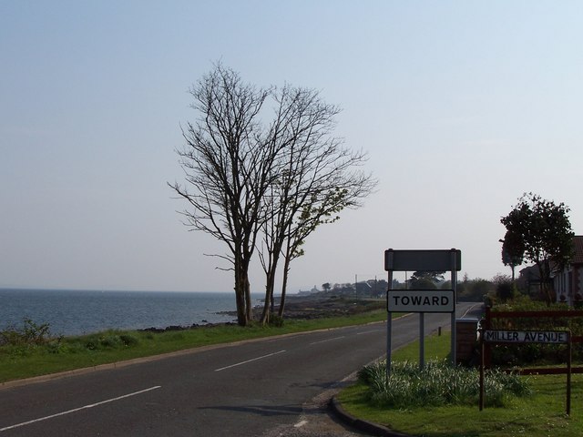
Toward
Toward; (Scottish Gaelic: Tollard) is a village near Dunoon, Scotland, at the southern tip of the Cowal peninsula. During the Second World War, the Toward...

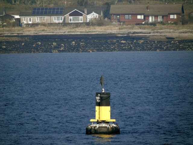
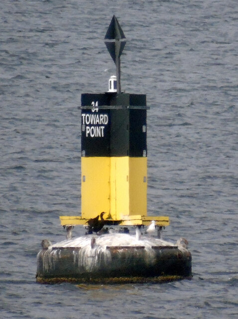
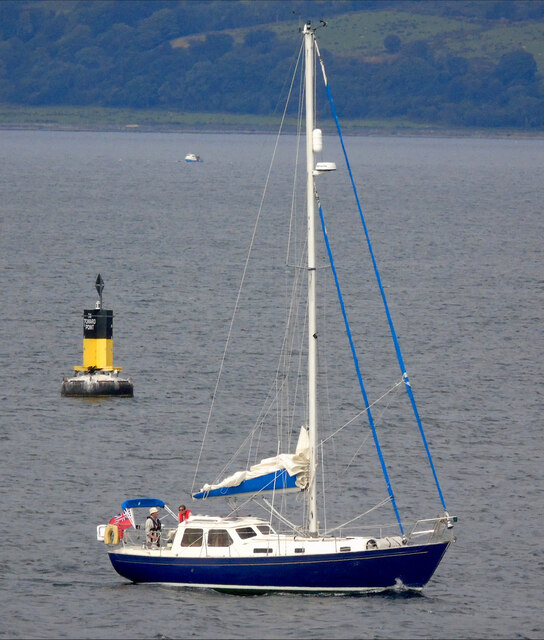
Toward Point Lighthouse
Toward Point Lighthouse is on the southern extremity of the Cowal Peninsula, near the village of Toward, Argyll and Bute, Scotland. There has been a lighthouse...
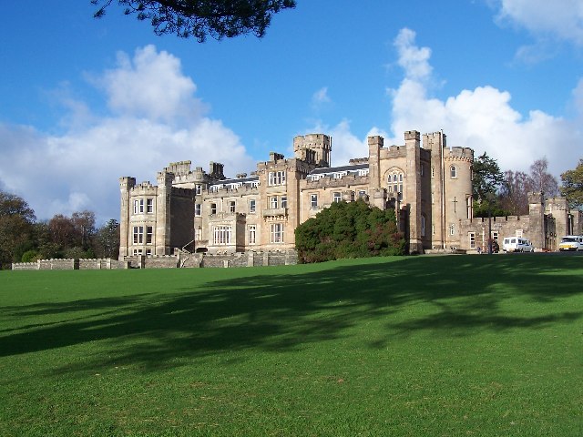
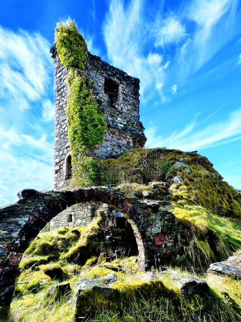
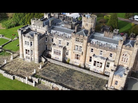
Castle Toward
Castle Toward (Scottish Gaelic: Caisteal an Toll Àird) is a nineteenth-century country house in Argyll and Bute, Scotland. Built in 1820 by Glasgow merchant...

Innellan
Innellan is a village in Argyll and Bute, Scotland, on the western shore of the Firth of Clyde. It is four miles south of Dunoon. == History == The origin...
Ascog
Ascog (Scottish Gaelic: Àsgaig) is a small village on the Isle of Bute, within Argyll and Bute council area, Scotland. The village is within the parish...

Ardbeg, Bute
Ardbeg is a small settlement on the island of Bute in Scotland, in Argyll and Bute (grid reference NS0866). It is on the south side of Port Bannatyne....

West Pier Public Convenience
The West Pier Public Convenience or Victorian Toilets is a public toilet on the west pier of the harbour of Rothesay on the Isle of Bute. It opened in...
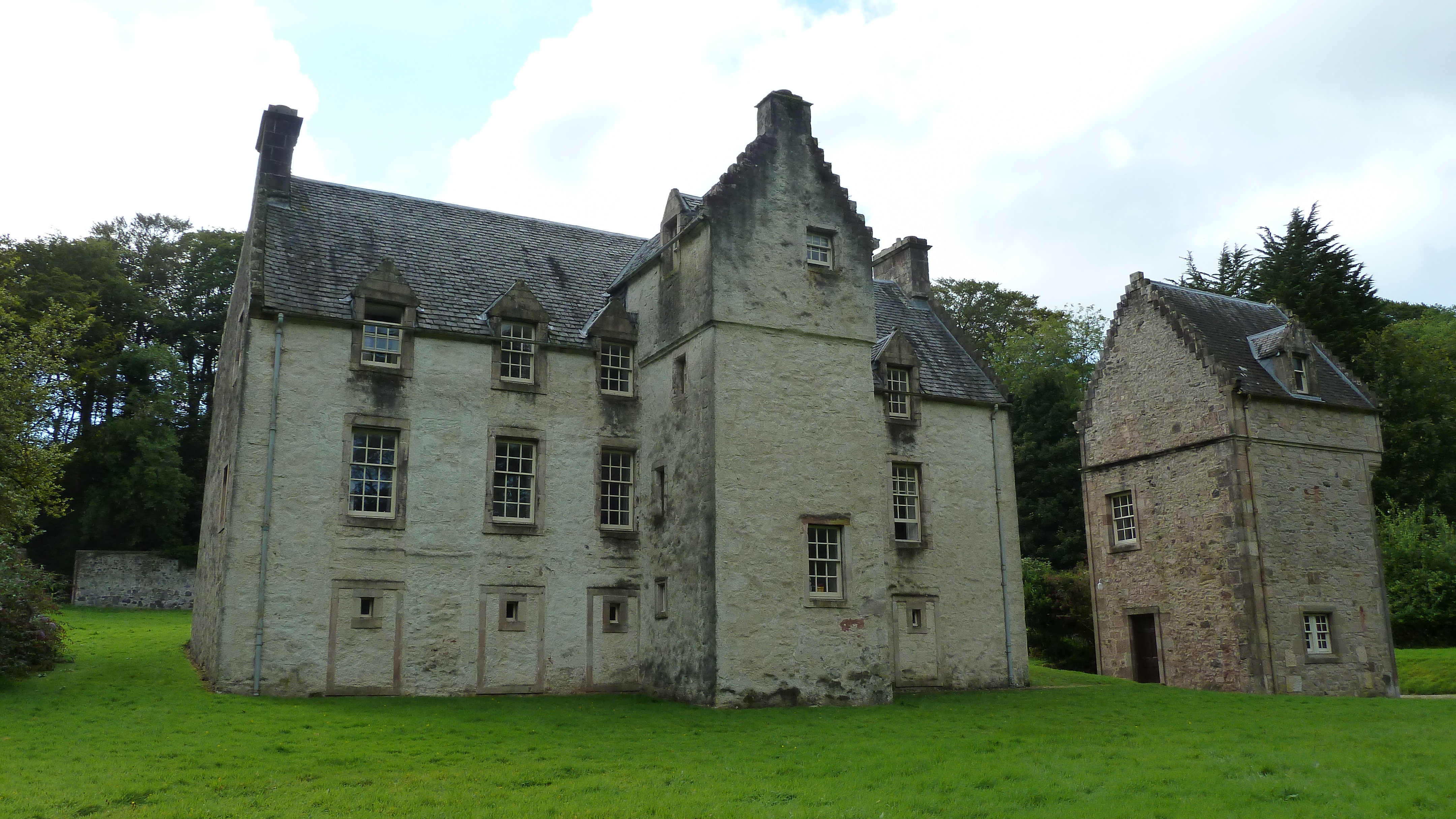
Ascog House
Ascog House is a large 17th-century mansion house at Ascog on the Isle of Bute, southwest Scotland. The house is in the care of the Landmark Trust, and...
Related Videos
CASTLE TOWARD DUNOON
DJI MINI 2 FLIGHT @ TOWARD CASTLE DUNOON.
Have you been to Tollard?
Leave your review of Tollard below (or comments, questions and feedback).