An Cárn Dubh
Settlement in Argyllshire
Scotland
An Cárn Dubh

An Cárn Dubh is a small village located in Argyllshire, Scotland. Situated on the western coast, it offers breathtaking views of the surrounding mountains and the nearby Loch Etive. With a population of around 200 residents, it is a close-knit community that prides itself on its rich history and natural beauty.
The village is known for its traditional Scottish architecture, with charming stone cottages lining the narrow streets. The main focal point is the village square, where locals often gather for community events and festivals. The square is also home to a few small shops and a quaint café, providing essential amenities for both residents and visitors.
Nature enthusiasts are drawn to An Cárn Dubh for its stunning landscapes and outdoor activities. The nearby mountain ranges offer excellent opportunities for hiking, with trails catering to all skill levels. Fishing enthusiasts can enjoy the abundance of trout and salmon in Loch Etive, while birdwatchers can spot a variety of species in the surrounding forests and wetlands.
History buffs will find plenty to explore in An Cárn Dubh. The village is home to several ancient ruins, including a Celtic burial ground and the remains of a medieval castle. Local museums and heritage centers provide insight into the area's past, showcasing artifacts and exhibits that tell the story of the village's rich cultural heritage.
Overall, An Cárn Dubh is a picturesque and welcoming village that offers a tranquil escape for those seeking natural beauty, outdoor activities, and a glimpse into Scotland's history.
If you have any feedback on the listing, please let us know in the comments section below.
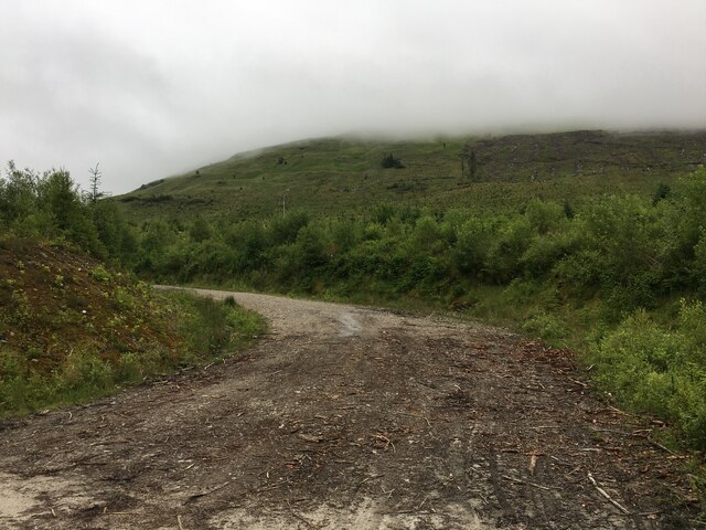
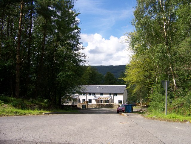
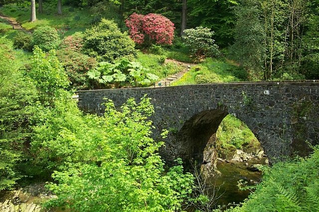
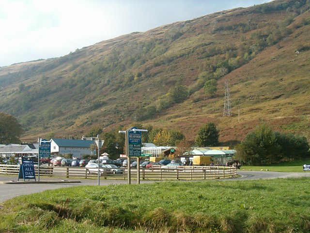
An Cárn Dubh Images
Images are sourced within 2km of 56.255058/-4.9387698 or Grid Reference NN1810. Thanks to Geograph Open Source API. All images are credited.


An Cárn Dubh is located at Grid Ref: NN1810 (Lat: 56.255058, Lng: -4.9387698)
Unitary Authority: Argyll and Bute
Police Authority: Argyll and West Dunbartonshire
Also known as: Cairndow
What 3 Words
///evoke.universe.rezoning. Near Inveraray, Argyll & Bute
Nearby Locations
Related Wikis
Cairndow
Cairndow; (Scottish Gaelic: An Càrn Dubh) is a coastal hamlet, on the Cowal peninsula in Argyll and Bute, Scottish Highlands. The town lies between the...

Ardkinglas
Ardkinglas House is a Category A listed country house on the Ardkinglas Estate in Argyll, Scotland. The estate lies on the eastern shore of Loch Fyne,...
Loch Fyne Oysters
Loch Fyne Oysters is a seafood and meat company that operates on the banks of Loch Fyne, Scotland. The company created the Loch Fyne Restaurants chain...
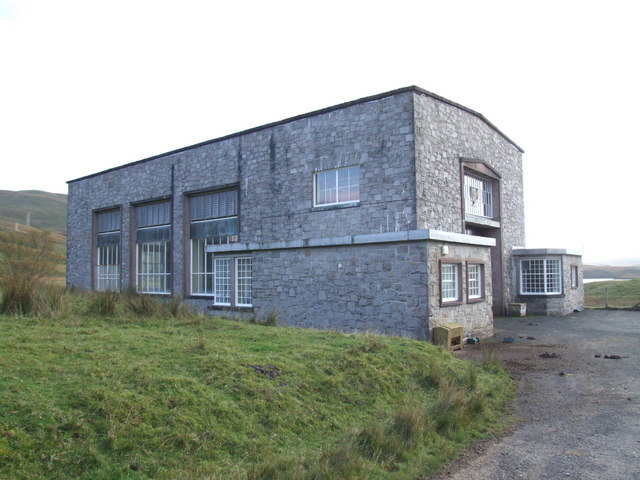
Shira Hydro-Electric Scheme
The Shira Hydro-Electric Scheme is a project initiated by the North of Scotland Hydro-Electric Board to use the waters of the River Shira, the River Fyne...
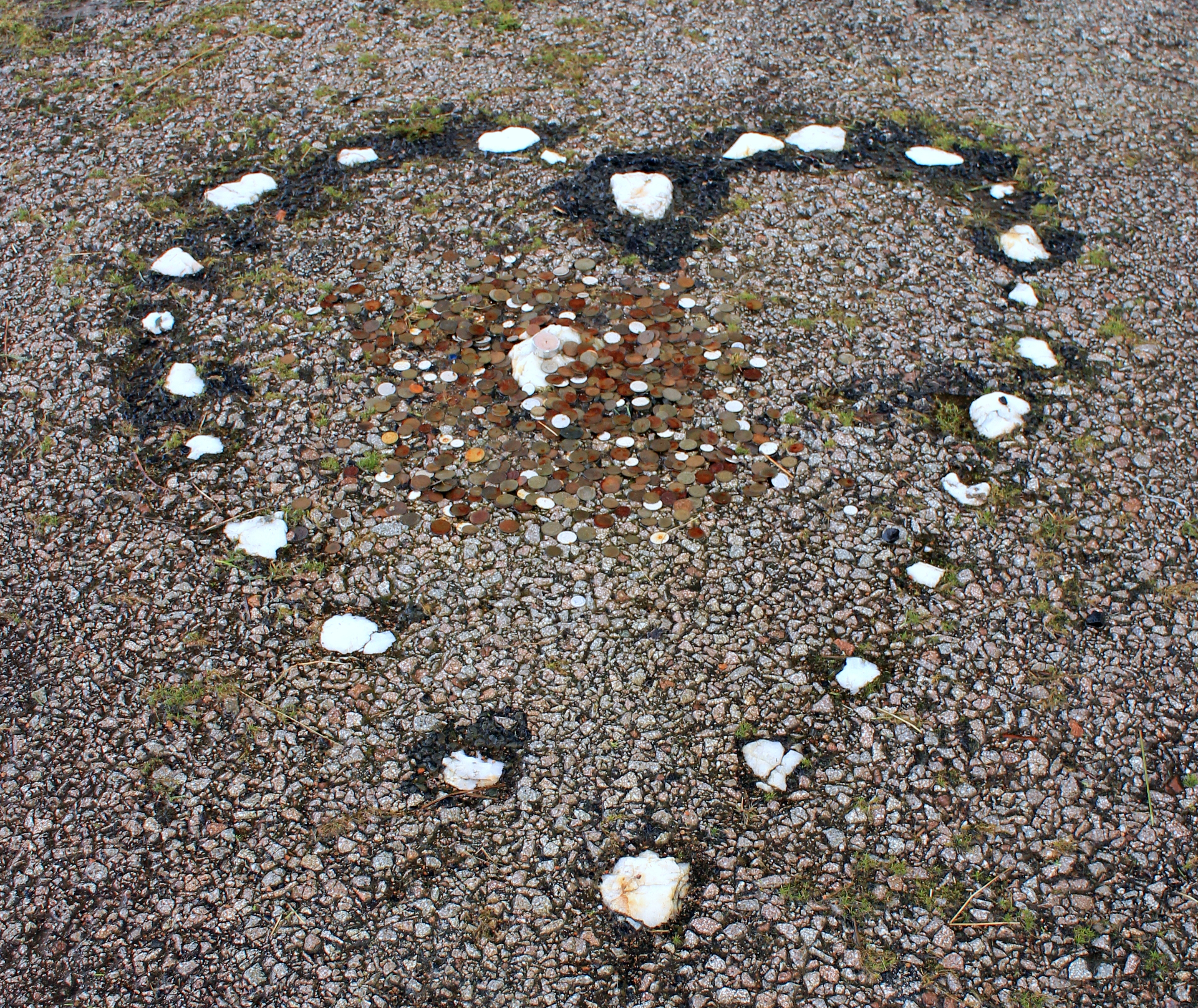
The Tinkers' Heart
The Tinkers' Heart is a Scottish Travellers' commemorative monument near Loch Fyne in Argyll and Bute, Scotland. It is also known as the Gypsy's Heart...

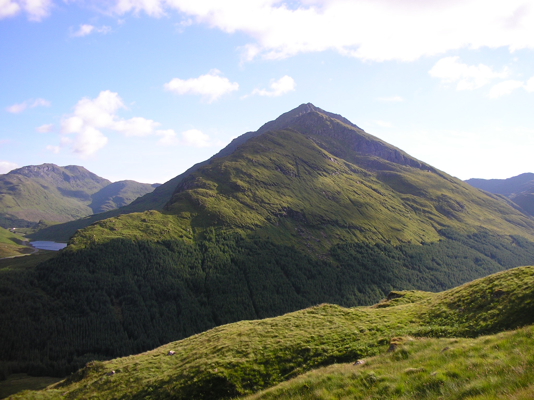
Stob an Eas
Stob an Eas is a 2401 ft (732m) Graham in the Arrochar Alps, Argyll and Bute, Scotland. == Geography == Lying above Glen Kinglass, 4 miles north of Lochgoilhead...

Hell's Glen
Hell's Glen is a glen on the Cowal Peninsula, in the Arrochar Alps between the mountains Cruach nam Mult and Stob an Eas. To the west, it leads to Loch...
Beinn an Lochain
Beinn an Lochain is a mountain in the Arrochar Alps, southern Scotland, on the western edge of Loch Lomond and the Trossachs National Park. Although included...
Nearby Amenities
Located within 500m of 56.255058,-4.9387698Have you been to An Cárn Dubh?
Leave your review of An Cárn Dubh below (or comments, questions and feedback).