Brook End, North

Settlement in Cambridgeshire South Cambridgeshire

England

Brook End, North

Guilden Morden Church
Guilden Morden Church Credit: mym

Brook End is a small village located in the district of North Cambridgeshire, England. Situated approximately 12 miles northwest of the city of Cambridge, it falls within the administrative boundaries of Cambridgeshire County. As of the latest census, the village has a population of around 500 residents.

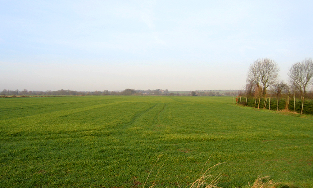
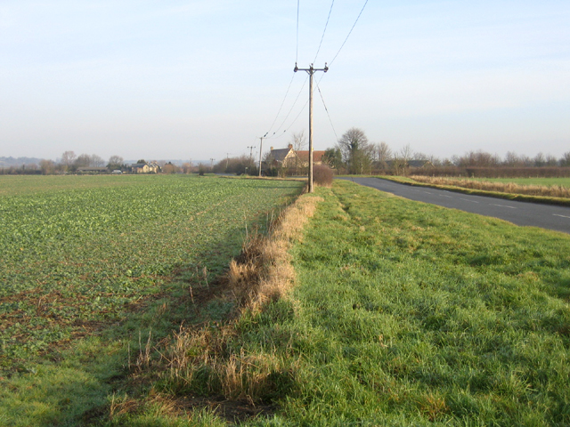
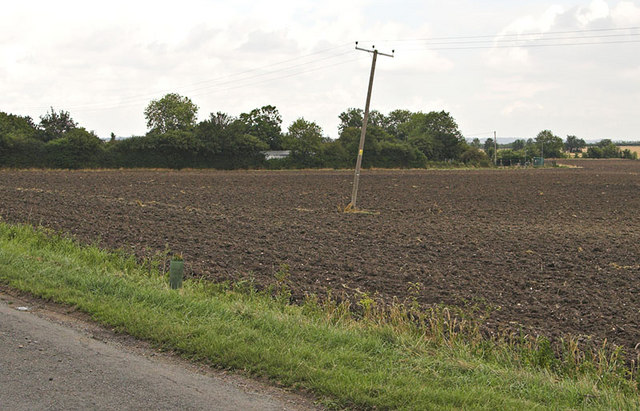
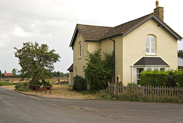
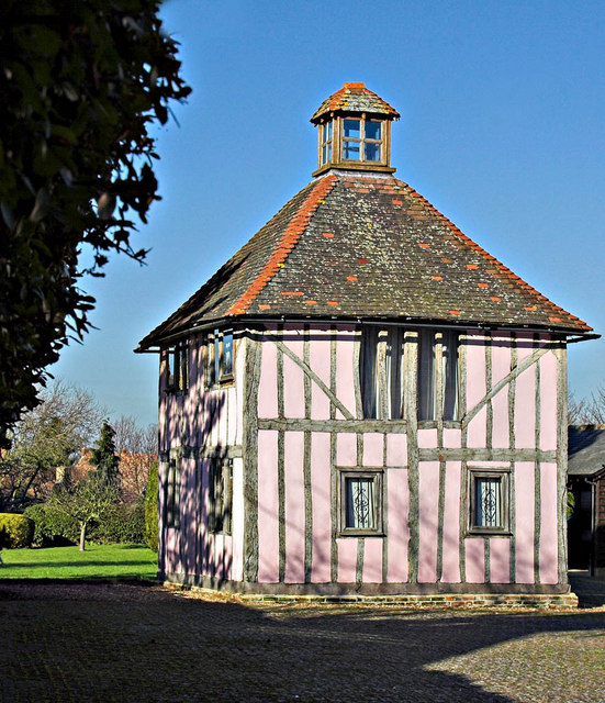
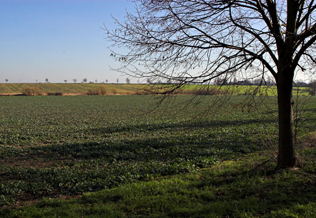
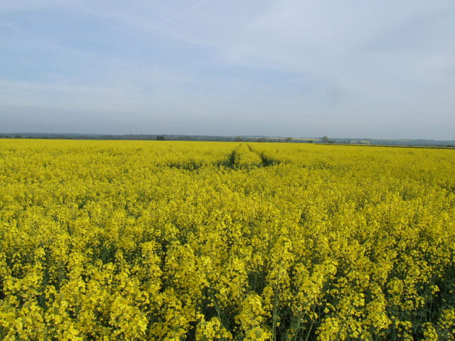
Nestled in a rural setting, Brook End offers a tranquil and picturesque environment. The village is surrounded by open countryside, with lush green fields and meandering brooks, giving it an idyllic charm. The landscape is dotted with traditional English cottages, some of which date back several centuries, showcasing the village's rich history.

While primarily agrarian, with farming being a significant industry, Brook End also benefits from its proximity to larger towns and cities. The village is conveniently located near major road networks, including the A14, providing easy access to nearby towns such as Huntingdon and St. Ives. Additionally, the city of Cambridge is within a short driving distance, offering a wide range of amenities, including shopping centers, restaurants, and cultural attractions.

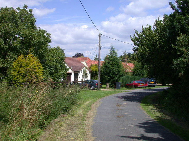
Brook End is also known for its strong sense of community. The village has a local primary school, providing education to the younger residents, and a village hall that serves as a hub for various social activities and events. The community organizes annual gatherings, such as summer fairs and Christmas markets, fostering a close-knit atmosphere among the villagers.

In summary, Brook End is a charming rural village in North Cambridgeshire, offering a peaceful and scenic environment, while benefiting from its proximity to larger towns and cities. Its historic cottages, strong community spirit, and idyllic setting make it an attractive place to live or visit.

If you have any feedback on the listing, please let us know in the comments section below.

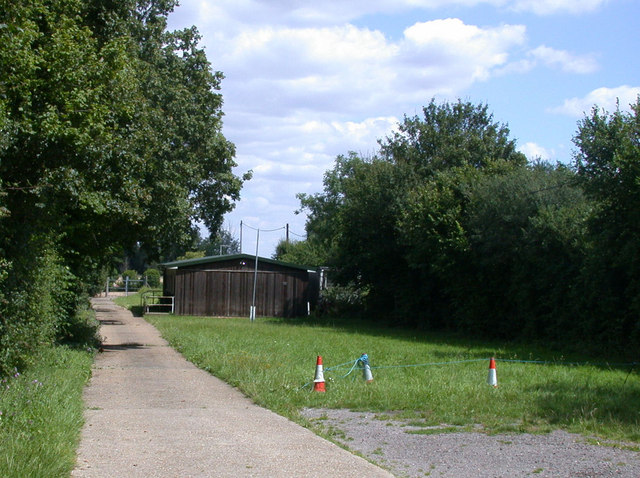
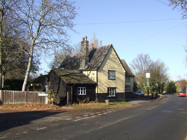
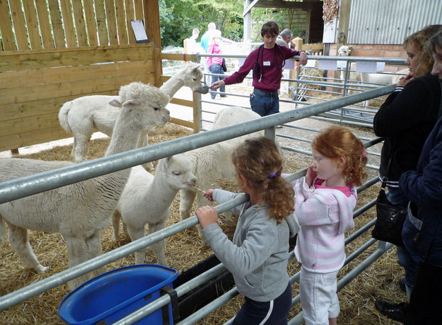
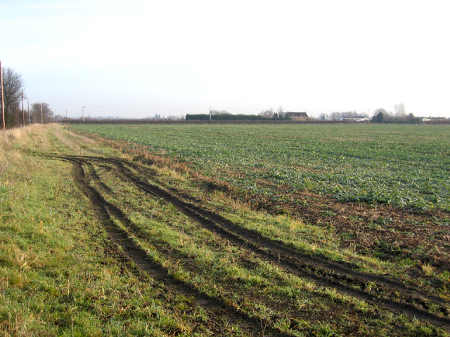
Brook End, North Images

Images are sourced within 2km of 52.083317/-0.117323 or Grid Reference TL2944. Thanks to Geograph Open Source API. All images are credited.

Guilden Morden Church
Cam valley, Guilden Morden, Cambs view NW from Fleck's Lane across acres of winter wheat towards Tadlow in the distance.
Cam valley, Guilden Morden, Cambs
view NW from Fleck's Lane across acres of winter wheat towards Tadlow in the distance.
Flecks Lane, Guilden Morden, Cambs view NE towards Flecks Lane Farm.
Flecks Lane, Guilden Morden, Cambs
view NE towards Flecks Lane Farm.
Farmland, Guilden Morden, Cambs view NE across the square towards Low Field Barn.
Farmland, Guilden Morden, Cambs
view NE across the square towards Low Field Barn.
Bogs Gap - Steeple Morden The pumping Station and fields at Bogs Gap
Bogs Gap - Steeple Morden
The pumping Station and fields at Bogs Gap
House with Postbox in wall This house stands at the junction of Flecks Lane and North Brook End.
House with Postbox in wall
This house stands at the junction of Flecks Lane and North Brook End.
Church St and High St  Guilden Morden The junction of Church St and furthest away, High St in the Village of Guilden Morden
Church St and High St Guilden Morden
The junction of Church St and furthest away, High St in the Village of Guilden Morden
Former Dovecot in Guilden Morden Former dovecot located in Church St, Guilden Morden. This is a Grade II listed building "Dwelling, formerly a dovecot. C17, altered in C19 with C20 remodelling and renovations. Timber framed with plaster infill. Plain tiled roof. Two storeys. Lantern apex to pyramidal roof replacing C19 chimney stack and former flight entry. Windows inserted between timber frame, main entrance to rear." <span class="nowrap"><a title="http://www.britishlistedbuildings.co.uk/en-52506-dovecote-circa-13-metres-west-of-numbers-" rel="nofollow ugc noopener" href="http://www.britishlistedbuildings.co.uk/en-52506-dovecote-circa-13-metres-west-of-numbers-">Link</a><img style="margin-left:2px;" alt="External link" title="External link - shift click to open in new window" src="https://s1.geograph.org.uk/img/external.png" width="10" height="10"/></span>
Former Dovecot in Guilden Morden
Former dovecot located in Church St, Guilden Morden. This is a Grade II listed building "Dwelling, formerly a dovecot. C17, altered in C19 with C20 remodelling and renovations. Timber framed with plaster infill. Plain tiled roof. Two storeys. Lantern apex to pyramidal roof replacing C19 chimney stack and former flight entry. Windows inserted between timber frame, main entrance to rear." LinkExternal link
Village Sign The very grand Village Sign outside St Mary's Church at Guilden Morden
Village Sign
The very grand Village Sign outside St Mary's Church at Guilden Morden
Trees and Field Taken from Trap Road Guilden Morden, the line of distant trees marks the road called North Brook End
Trees and Field
Taken from Trap Road Guilden Morden, the line of distant trees marks the road called North Brook End
Rape field from Fleck's Lane
Tree in a field at North Brook End
Houses at Bogs Gap An inauspiciously named "suburb" of Steeple Morden
Houses at Bogs Gap
An inauspiciously named "suburb" of Steeple Morden
Scout Hut, The Pightle, Bogs Gap Lane The hut is the HQ of the 6th Royston Air Scouts.
Scout Hut, The Pightle, Bogs Gap Lane
The hut is the HQ of the 6th Royston Air Scouts.
Three Tuns, Guilden Morden
St Mary's Guilden Morden View from Hinxworth Place
St Mary's Guilden Morden
View from Hinxworth Place
Steeple Morden village sign This sign is on the road into the village from Litlington and shows a bomber passing over the parish church.
Steeple Morden village sign
This sign is on the road into the village from Litlington and shows a bomber passing over the parish church.
Barn at Morden Hall on an Open Day Morden Hall is famous for its alpacas and has a breeding programme.  At its Open Day many animals were on display and many were sold at special prices.
Barn at Morden Hall on an Open Day
Morden Hall is famous for its alpacas and has a breeding programme. At its Open Day many animals were on display and many were sold at special prices.
Show me another place!

Brook End, North is located at Grid Ref: TL2944 (Lat: 52.083317, Lng: -0.117323)

Administrative County: Cambridgeshire

District: South Cambridgeshire

Police Authority: Cambridgeshire

What 3 Words

///thirsty.remotest.alas. Near Bassingbourn, Cambridgeshire

Related Wikis

Guilden Morden

Guilden Morden is a village and parish located in Cambridgeshire about 16 miles (26 km) south west of Cambridge and 9 miles (14 km) west of Royston in...

Abington Pigotts

Abington Pigotts is a small village in Cambridgeshire, England about 4 miles (6 km) northwest of Royston, Hertfordshire. == History == The parish of Abington...

Steeple Morden

Steeple Morden is a village and civil parish in Cambridgeshire, England, about 15 miles (24 km) south west of Cambridge and 5 miles (8 km) west of Royston...

Shingay

Shingay is a hamlet and former civil parish, now in the parish of Shingay cum Wendy, in the South Cambridgeshire district, in the county of Cambridgeshire...

Litlington, Cambridgeshire

Litlington is a village and civil parish in the East of England region and the county of Cambridgeshire in the United Kingdom. The village lies approximately...

Tadlow

Tadlow is a small village and civil parish in South Cambridgeshire, England on the River Cam (or Rhee). It is 20 kilometres (12 mi) south-west of Cambridge...

Shingay Preceptory

Shingay Preceptory was a Knights Hospitaller priory at Shingay in Cambridgeshire, England. It was established in 1144. The moated site is a scheduled ancient...

Shingay cum Wendy

Shingay cum Wendy is a civil parish in the English county of Cambridgeshire, around 5 miles (8 km) north west of Royston. Forming part of the district...

Nearby Amenities

Located within 500m of 52.083317,-0.117323
Power: pole
Lat/Long: 52.084258/-0.1228396
Power: pole
Lat/Long: 52.0874653/-0.1193634
Power: pole
Lat/Long: 52.085331/-0.1216756
Power: pole
Lat/Long: 52.0831833/-0.1240038
Power: pole
Lat/Long: 52.0863792/-0.1204686
The data included in this document is from www.openstreetmap.org. The data is made available under ODbL.

Have you been to Brook End, North?

Leave your review of Brook End, North below (or comments, questions and feedback).