Brendon

Settlement in Devon Torridge

England

Brendon

War Memorial, Sutcombe Commemorates the residents of Sutcombe who were killed or missing in World Wars
War Memorial, Sutcombe Credit: Mike Devonport

Brendon, Devon is a small picturesque village located in South West England, nestled within the stunning Exmoor National Park. Situated in the county of Devon, it is known for its idyllic countryside charm and captivating natural beauty.

The village itself is characterized by its quaint thatched-roof cottages, charming stone buildings, and narrow winding lanes, which all contribute to its traditional English village atmosphere. The community is small, with a population of around 200 residents, fostering a close-knit and friendly environment.

Surrounded by lush rolling hills and verdant valleys, Brendon offers a haven for nature lovers and outdoor enthusiasts. The village is embraced by the calming River Lyn, providing a serene backdrop and opportunities for peaceful riverside walks. Additionally, the nearby Brendon Common, a vast expanse of open moorland, presents opportunities for hiking, horse riding, and wildlife spotting.

The village also boasts several historic landmarks, such as the 13th-century St. Brendan's Church, renowned for its medieval architecture and beautiful stained glass windows. Visitors can explore the church and learn about its fascinating history.

Although small, Brendon offers a welcoming atmosphere and a sense of tranquility that attracts visitors seeking a peaceful retreat from the hustle and bustle of city life. Whether it is for a leisurely stroll, a scenic hike, or simply to experience the charm of a traditional English village, Brendon, Devon offers an enchanting destination for all to enjoy.

If you have any feedback on the listing, please let us know in the comments section below.
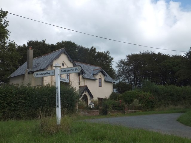
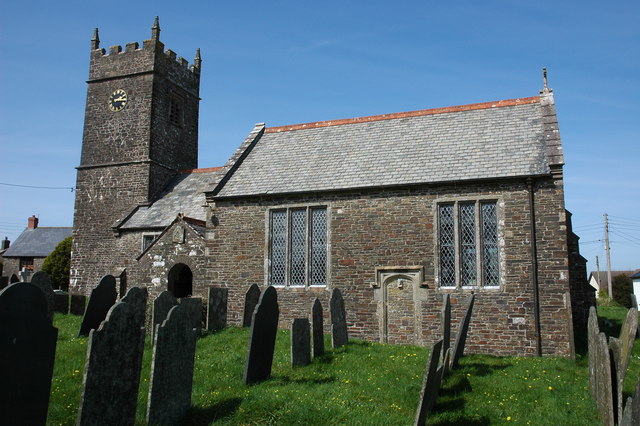
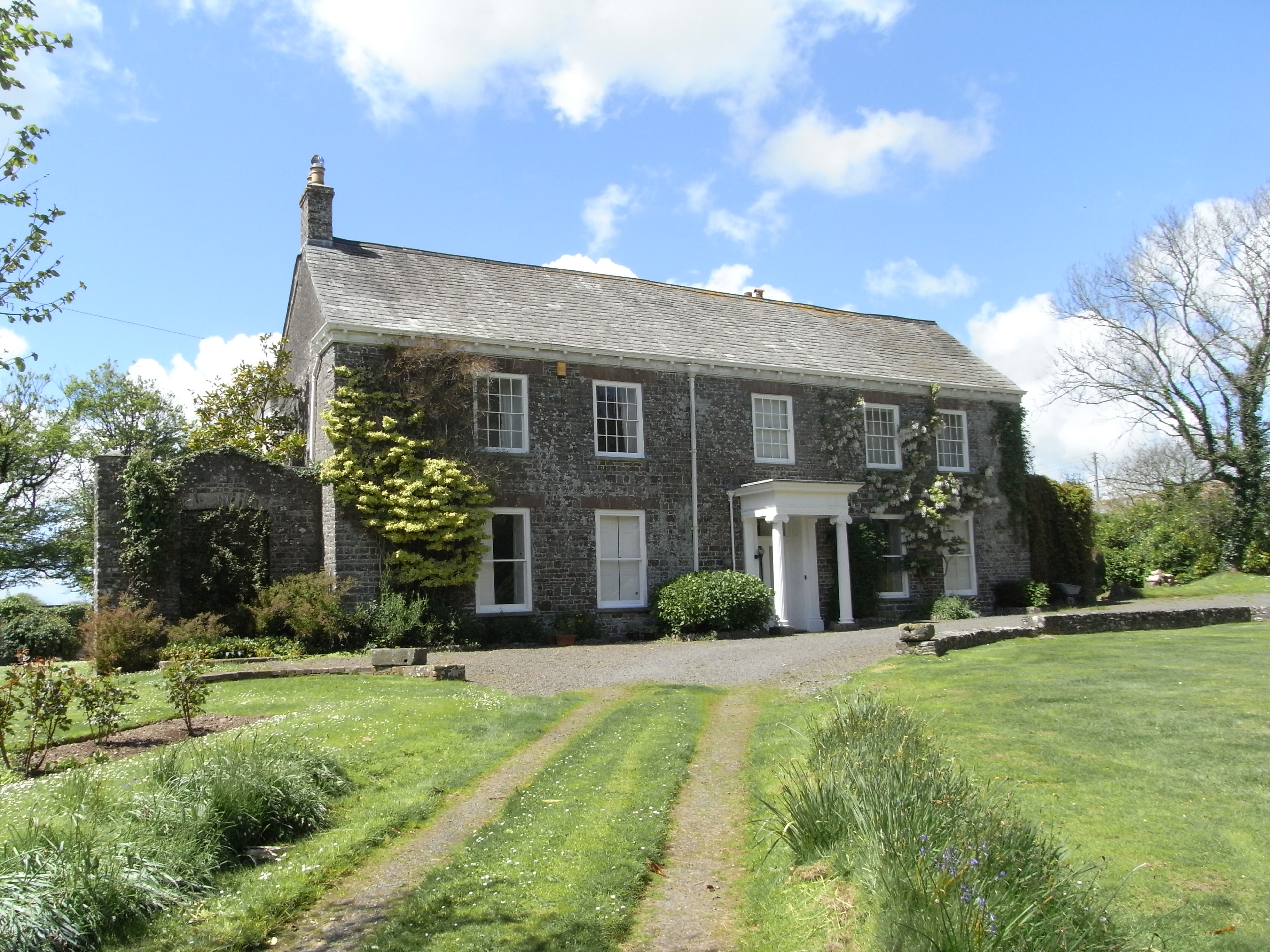
Brendon Images

Images are sourced within 2km of 50.892852/-4.3474818 or Grid Reference SS3513. Thanks to Geograph Open Source API. All images are credited.

War Memorial, Sutcombe Commemorates the residents of Sutcombe who were killed or missing in World Wars
War Memorial, Sutcombe
Commemorates the residents of Sutcombe who were killed or missing in World Wars
War Memorial Inscription, Sutcombe Close up of Sutcombe War Memorial inscription.
War Memorial Inscription, Sutcombe
Close up of Sutcombe War Memorial inscription.
Church of St Andrew Entrance, Sutcombe Entrance to the Church of St Andrew in Sutcombe
Church of St Andrew Entrance, Sutcombe
Entrance to the Church of St Andrew in Sutcombe
Church of St Andrew East Side, Sutcombe East side view of the Church of St Andrew in Sutcombe
Church of St Andrew East Side, Sutcombe
East side view of the Church of St Andrew in Sutcombe
Church of St Andrew, Sutcombe Church of St Andrew Sutcombe
Church of St Andrew, Sutcombe
Church of St Andrew Sutcombe
Church of St Andrew, Sutcombe Church of St Andrew in Sutcombe
Church of St Andrew, Sutcombe
Church of St Andrew in Sutcombe
Church of St Andrew, Sutcombe Church of St Andrew in Sutcombe
Church of St Andrew, Sutcombe
Church of St Andrew in Sutcombe
Free Church Cemetery, Sutcombe Sutcombe Free Church Cemetery
Free Church Cemetery, Sutcombe
Sutcombe Free Church Cemetery
Free Church Cemetery Entrance, Sutcombe Entrance to the Free Church Cemetery in Sutcombe
Free Church Cemetery Entrance, Sutcombe
Entrance to the Free Church Cemetery in Sutcombe
Old Direction Sign - Signpost by Thriverton Cross, West Putford parish Pyramid cap finial - 3 arms; Devon DCC D pyramid with small name by the UC road, in parish of West Putford (Torridge District), Thriverton Cross.

Surveyed

Milestone Society National ID: DV_SS3514
Old Direction Sign - Signpost by Thriverton Cross, West Putford parish
Pyramid cap finial - 3 arms; Devon DCC D pyramid with small name by the UC road, in parish of West Putford (Torridge District), Thriverton Cross. Surveyed Milestone Society National ID: DV_SS3514
Old Direction Sign - Signpost by Lane Cross, Sutcombe Pyramid cap finial - 3 arms; Devon DCC D pyramid with name by the UC road, in parish of Sutcombe (Torridge District), Lane Cross, Sutcombe.

Surveyed

Milestone Society National ID: DV_SS3312
Old Direction Sign - Signpost by Lane Cross, Sutcombe
Pyramid cap finial - 3 arms; Devon DCC D pyramid with name by the UC road, in parish of Sutcombe (Torridge District), Lane Cross, Sutcombe. Surveyed Milestone Society National ID: DV_SS3312
Old Direction Sign - Signpost, Sutcombe Pyramid cap finial - 3 arms; Devon DCC D pyramid with small name by the UC road, in parish of Sutcombe (Torridge District), village centre.

Surveyed

Milestone Society National ID: DV_SS3411
Old Direction Sign - Signpost, Sutcombe
Pyramid cap finial - 3 arms; Devon DCC D pyramid with small name by the UC road, in parish of Sutcombe (Torridge District), village centre. Surveyed Milestone Society National ID: DV_SS3411
The end of St Andrew's Close, Sutcombe Amid the greenery of this Devon village, the vivid red bin stands out; why choose this colour?
The end of St Andrew's Close, Sutcombe
Amid the greenery of this Devon village, the vivid red bin stands out; why choose this colour?
War memorial, Sutcombe It stands in a prominent place at the head of the main road through the village
War memorial, Sutcombe
It stands in a prominent place at the head of the main road through the village
North Hollands, near Sutcombe North Hollands is at a junction of farm tracks with this minor road
North Hollands, near Sutcombe
North Hollands is at a junction of farm tracks with this minor road
Lane Cross, near Sutcombe The signpost is one of the older designs on Devon roads, with separate arms attached to the upright, one on top of the other.
Lane Cross, near Sutcombe
The signpost is one of the older designs on Devon roads, with separate arms attached to the upright, one on top of the other.
Cleverdon Cross and Cleverdon Cottage A minor road junction to the east of Bradworthy
Cleverdon Cross and Cleverdon Cottage
A minor road junction to the east of Bradworthy
The church of St Andrew at Sutcombe
Show me another place!

Brendon is located at Grid Ref: SS3513 (Lat: 50.892852, Lng: -4.3474818)

Administrative County: Devon

District: Torridge

Police Authority: Devon and Cornwall

What 3 Words

///mile.uplifting.tapers. Near Holsworthy, Devon

Nearby Locations

Brendon

Related Wikis

Holsworthy Hamlets

Holsworthy Hamlets is a civil parish in the northwest of Devon, England. It forms part of the local government district of Torridge and came into being...

Sutcombe

Sutcombe is a village and civil parish in the local government district of Torridge, Devon, England. The parish, which lies about 5.5 miles north of the...

Gnome Reserve

The Gnome Reserve is a garden and tourist attraction in West Putford, near Bradworthy, Devon, England, presented as a pastoral refuge for garden gnomes...

Thuborough

Thuborough (alias Therborough, Theoburgh, etc.) in the parish of Sutcombe, Devon, England, is an historic estate, formerly a seat of a branch of the Prideaux...

Nearby Amenities

Located within 500m of 50.892852,-4.3474818
Brendon Cross
Place: locality
Source: OS_OpenData_StreetView
Lat/Long: 50.8929645/-4.3433982
The data included in this document is from www.openstreetmap.org. The data is made available under ODbL.

Have you been to Brendon?

Leave your review of Brendon below (or comments, questions and feedback).