Ysgeifiog
Settlement in Pembrokeshire
Wales
Ysgeifiog
Ysgeifiog is a small village located in the county of Pembrokeshire, Wales. Situated in the southwestern part of the country, Ysgeifiog is nestled in a picturesque countryside landscape, surrounded by rolling hills and lush greenery. It is a rural village, with a population of approximately 200 residents.
The village is known for its tranquility and breathtaking natural beauty. The idyllic countryside setting offers visitors and residents a peaceful escape from the hustle and bustle of city life. Ysgeifiog is particularly popular among nature enthusiasts, who can explore the nearby hiking trails and enjoy the stunning vistas.
Despite its small size, Ysgeifiog has a strong sense of community. The villagers take pride in their close-knit community and often come together to organize events and festivals. These events provide an opportunity for residents and visitors to socialize and celebrate the local culture.
Ysgeifiog is also home to a few local amenities, including a village hall, a pub, and a small convenience store. The village retains its rural charm, with traditional houses and farmsteads dotting the landscape.
For those seeking further amenities and services, the larger town of Haverfordwest is just a short drive away. Haverfordwest offers a wider range of shops, restaurants, and entertainment options.
In conclusion, Ysgeifiog is a serene village in Pembrokeshire, rich in natural beauty and community spirit. Its peaceful setting and strong sense of community make it an attractive destination for those looking to experience the charm of rural Wales.
If you have any feedback on the listing, please let us know in the comments section below.
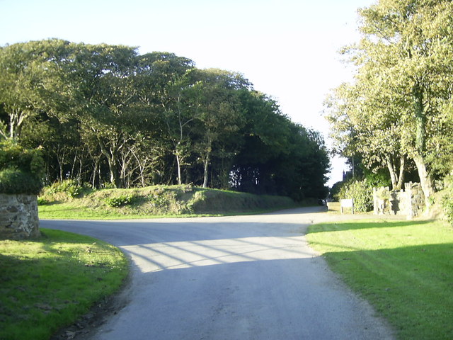
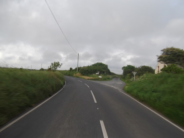
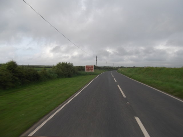
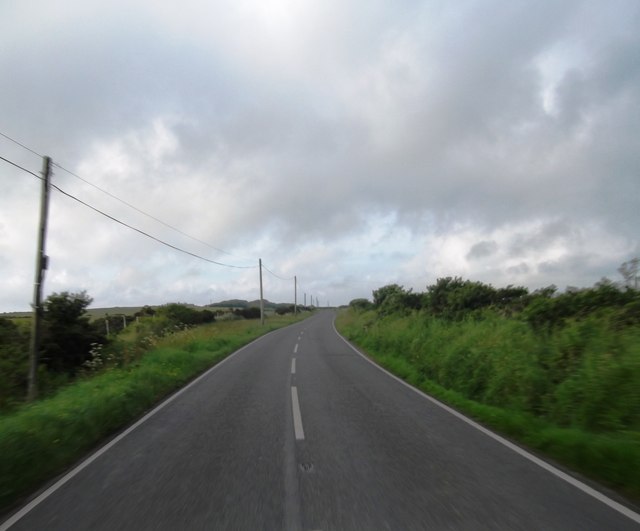
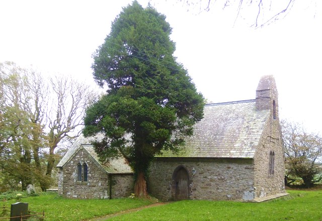
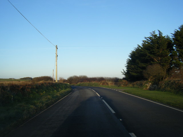
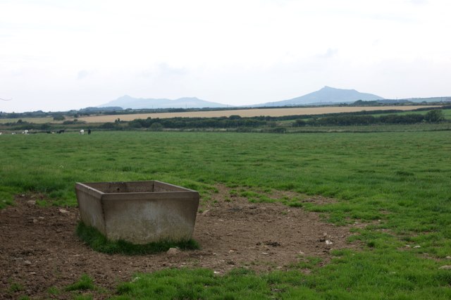
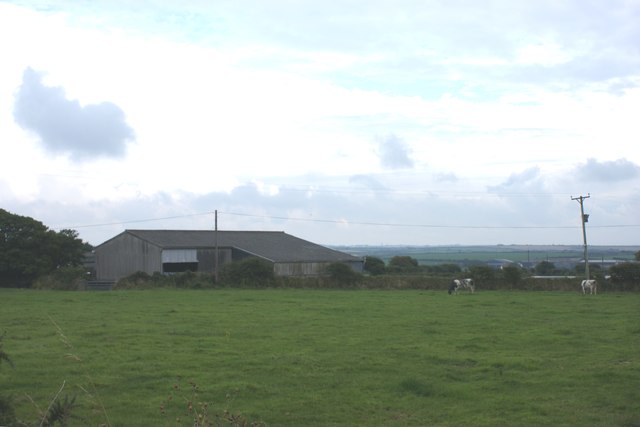
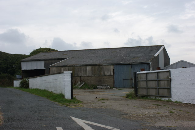
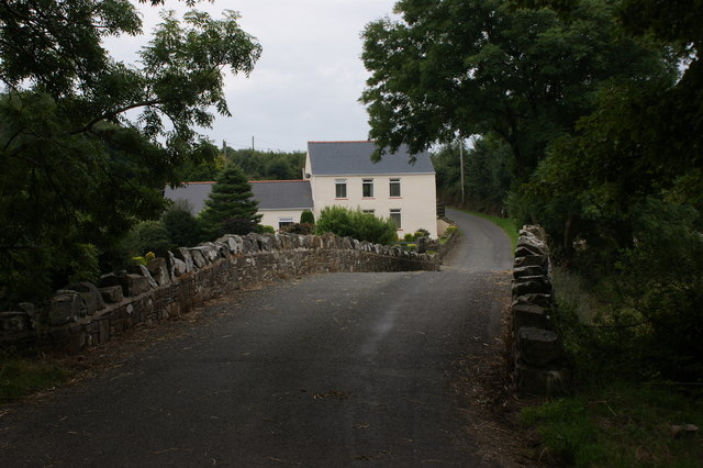
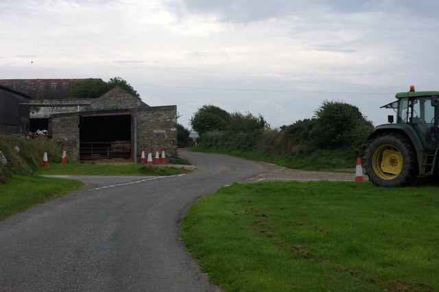
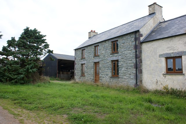
Ysgeifiog Images
Images are sourced within 2km of 51.899809/-5.18766 or Grid Reference SM8027. Thanks to Geograph Open Source API. All images are credited.


Ysgeifiog is located at Grid Ref: SM8027 (Lat: 51.899809, Lng: -5.18766)
Unitary Authority: Pembrokeshire
Police Authority: Dyfed Powys
What 3 Words
///upstairs.nuptials.mute. Near Llanrhian, Pembrokeshire
Nearby Locations
Related Wikis

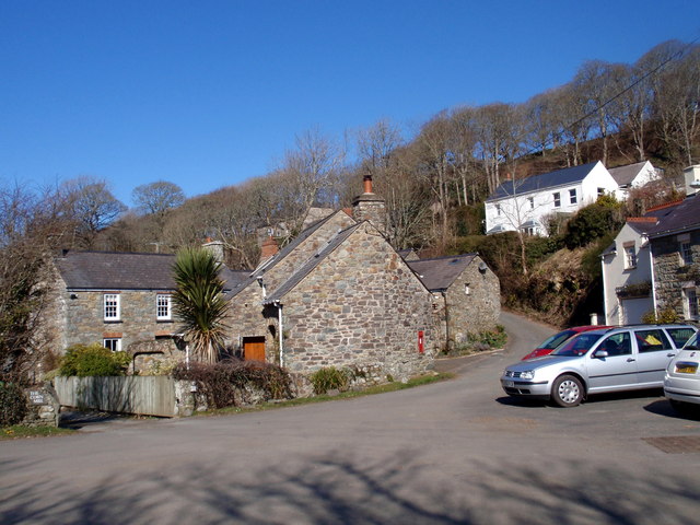
Solva Woollen Mill
Solva Woollen Mill is a woollen mill in the village of Middle Mill, about one mile from Solva, Pembrokeshire, Wales, that has been in operation since 1907...

Caerfarchell
Caerfarchell (Welsh pronunciation: [kaɪrvɑːrxɛɬ]) is a small village in Pembrokeshire, Wales, 3 miles northeast of St Davids, close by the A487 road. It...

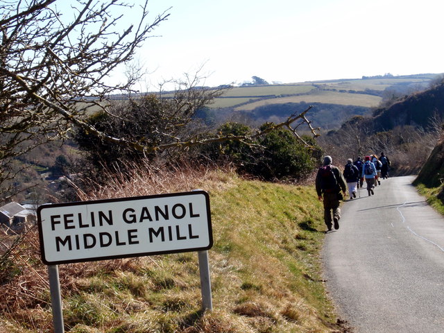
Middle Mill
Middle Mill (Welsh: Felinganol) is a small settlement on the River Solva in the parish of Whitchurch, Pembrokeshire, Wales, approximately 1 mile upstream...

RAF St Davids
Royal Air Force St Davids, or more simply RAF St Davids, is a former Royal Air Force station, near the city of St Davids, Pembrokeshire, Wales, in the...
Nearby Amenities
Located within 500m of 51.899809,-5.18766Have you been to Ysgeifiog?
Leave your review of Ysgeifiog below (or comments, questions and feedback).