Yottenfews

Settlement in Cumberland Copeland

England

Yottenfews

A595 at The Stanley Arms, Calder Bridge
A595 at The Stanley Arms, Calder Bridge Credit: Colin Pyle

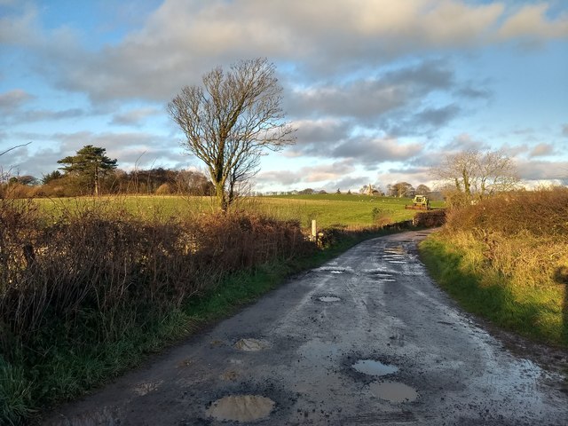
Yottenfews is a small village located in the county of Cumberland, in the northwest region of England. Situated amidst picturesque landscapes, it is nestled between rolling hills and lush greenery, offering residents and visitors an idyllic rural setting.

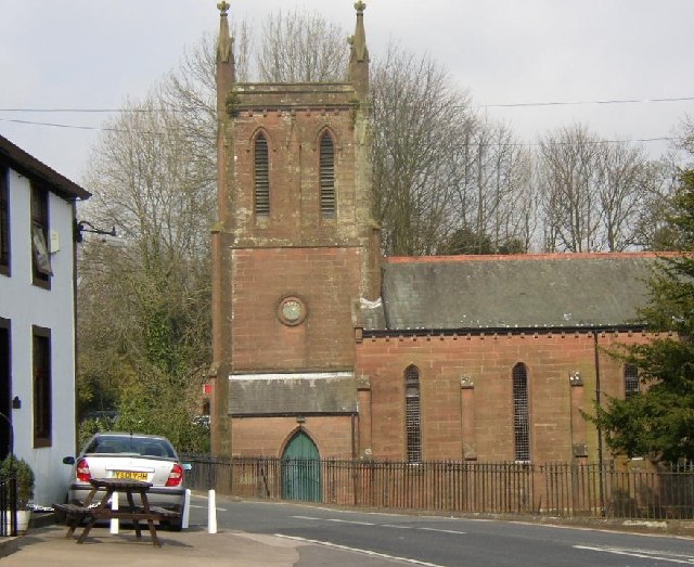
The village is known for its rich history, with evidence of human habitation dating back to the Roman era. Yottenfews is home to several historical landmarks, including a medieval church that stands as a testament to its past. The church's architecture showcases a blend of different styles, reflecting the various periods of construction and renovation it has undergone.

Yottenfews is primarily an agricultural community, with farming being the main occupation of its residents. The fertile soil and favorable climate make it an ideal location for cultivating crops and rearing livestock. The village is particularly renowned for its dairy farming industry, producing high-quality milk and cheese that are highly sought after in the region.

Despite its small size, Yottenfews boasts a close-knit community that takes pride in preserving its heritage and traditions. The village hosts an annual summer fair, where locals and visitors gather to celebrate with music, food, and traditional games. The fair serves as a platform for local artisans and craftsmen to showcase their talents, with handmade goods and local produce being a highlight of the event.

Yottenfews offers a peaceful and serene lifestyle, away from the hustle and bustle of urban areas. Its natural beauty and strong community spirit make it an attractive destination for those seeking a tranquil retreat in the heart of Cumberland.

If you have any feedback on the listing, please let us know in the comments section below.
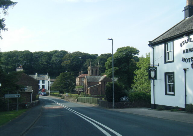
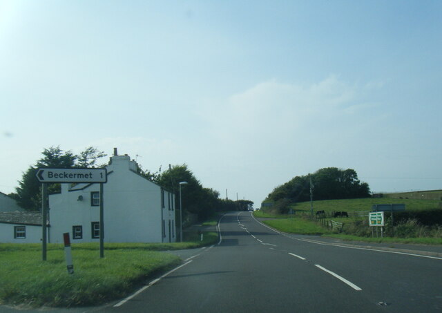
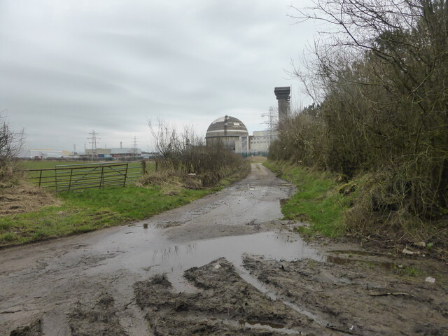
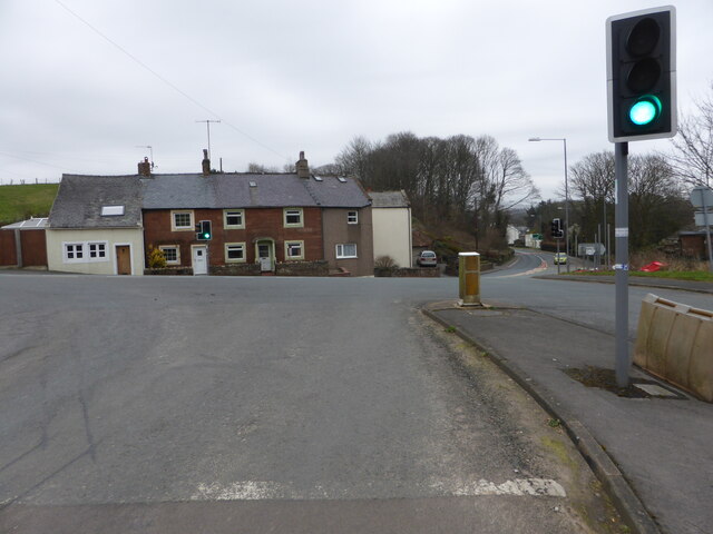
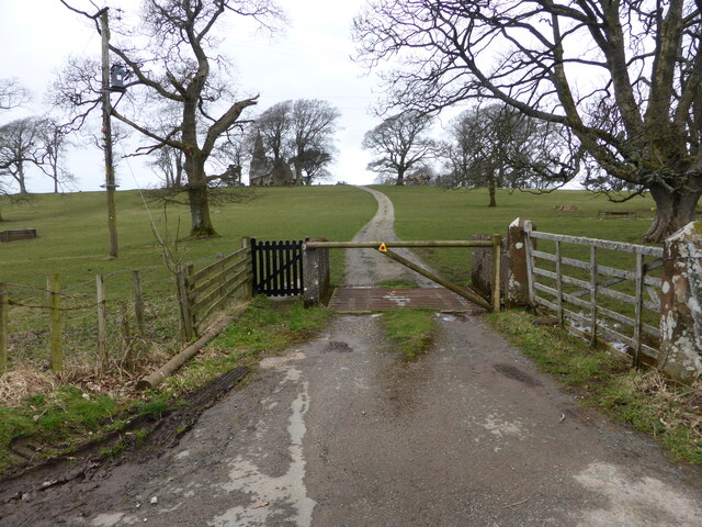
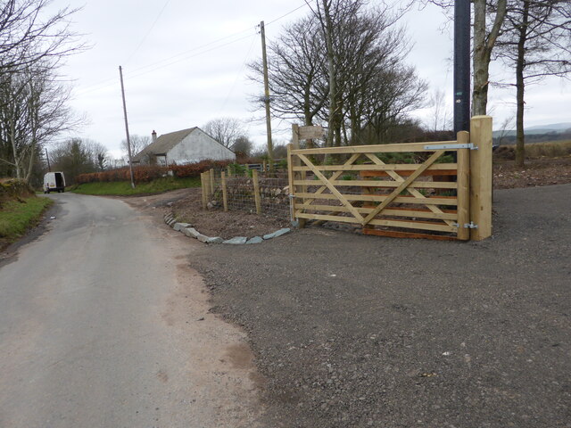
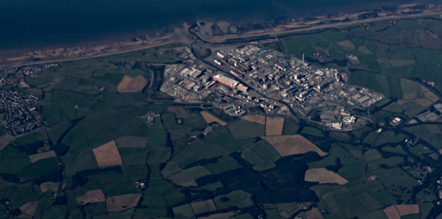
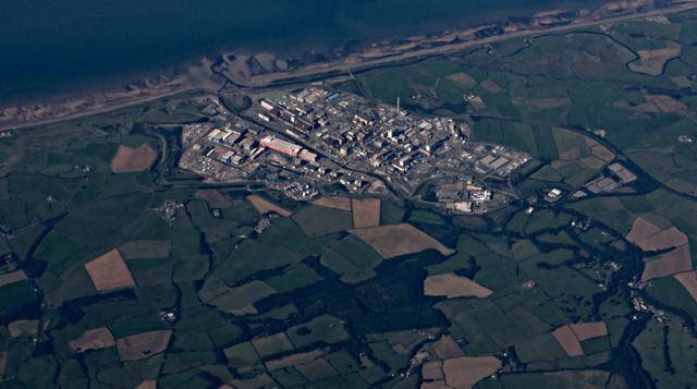
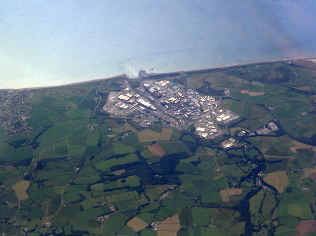
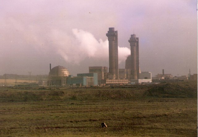
Yottenfews Images

Images are sourced within 2km of 54.432024/-3.491476 or Grid Reference NY0305. Thanks to Geograph Open Source API. All images are credited.

A595 at The Stanley Arms, Calder Bridge
A595 at Nursery Houses
Looking towards Building B30 Home to one of the early plutonium-based reactors.  ""It is the most hazardous industrial building in western Europe," according to George Beveridge, Sellafield's deputy managing director - in The Guardian 2009.
Looking towards Building B30
Home to one of the early plutonium-based reactors. ""It is the most hazardous industrial building in western Europe," according to George Beveridge, Sellafield's deputy managing director - in The Guardian 2009.
Road junction at Calder Bridge This is a busy junction, serving one of the entry gates for Sellafield site.
Road junction at Calder Bridge
This is a busy junction, serving one of the entry gates for Sellafield site.
The driveway to Ponsonby Church
Where the bridleway to Ponsonby leaves the road
Sellafield from the air To folk of my generation, it will always be known as Windscale. Wikipedia <span class="nowrap"><a title="https://en.wikipedia.org/wiki/Sellafield" rel="nofollow ugc noopener" href="https://en.wikipedia.org/wiki/Sellafield">Link</a><img style="margin-left:2px;" alt="External link" title="External link - shift click to open in new window" src="https://s1.geograph.org.uk/img/external.png" width="10" height="10"/></span> .

Lingbank Plantation is in the foreground.

See also <a href="https://www.geograph.org.uk/photo/4651260">NY0404 : Sellafield from the air</a>.
Sellafield from the air
To folk of my generation, it will always be known as Windscale. Wikipedia LinkExternal link . Lingbank Plantation is in the foreground. See also NY0404 : Sellafield from the air.
Sellafield from the air To folk of my generation, it will always be known as Windscale. Wikipedia <span class="nowrap"><a title="https://en.wikipedia.org/wiki/Sellafield" rel="nofollow ugc noopener" href="https://en.wikipedia.org/wiki/Sellafield">Link</a><img style="margin-left:2px;" alt="External link" title="External link - shift click to open in new window" src="https://s1.geograph.org.uk/img/external.png" width="10" height="10"/></span> .

Lingbank Plantation is in the foreground.

See also <a href="https://www.geograph.org.uk/photo/4651256">NY0404 : Sellafield from the air</a>.
Sellafield from the air
To folk of my generation, it will always be known as Windscale. Wikipedia LinkExternal link . Lingbank Plantation is in the foreground. See also NY0404 : Sellafield from the air.
Ordnance Survey Cut Mark This OS cut mark can be found on the NW face of St Bridget's Church. It marks a point 53.739m above mean sea level.
Ordnance Survey Cut Mark
This OS cut mark can be found on the NW face of St Bridget's Church. It marks a point 53.739m above mean sea level.
Sellafield/Windscale/Calder Hall Looking southwest from over the Lake District.
Sellafield/Windscale/Calder Hall
Looking southwest from over the Lake District.
Sellafield from above the Lake District A view looking southwest.
Sellafield from above the Lake District
A view looking southwest.
Farm lane near Ponsonby Ponsonby Church can be seen in the distance.
Farm lane near Ponsonby
Ponsonby Church can be seen in the distance.
Farm lane heading towards Calder Hall
Farm lane between Ponsonby and Calder Hall Looking north-east.
Farm lane between Ponsonby and Calder Hall
Looking north-east.
The River Calder near Lady Wood
Irresistible force meets immovable obstacle The River Calder meets a sandstone cliff head on, and chooses an easier path round.
Irresistible force meets immovable obstacle
The River Calder meets a sandstone cliff head on, and chooses an easier path round.
Gazing through the fence Looking in to Sellafield works. On the centre right of the photo is the heavily protected bridge over the Calder which flows through the site.
Gazing through the fence
Looking in to Sellafield works. On the centre right of the photo is the heavily protected bridge over the Calder which flows through the site.
Ponsonby Church at dusk
Show me another place!

Yottenfews is located at Grid Ref: NY0305 (Lat: 54.432024, Lng: -3.491476)

Administrative County: Cumbria

District: Copeland

Police Authority: Cumbria

What 3 Words

///crisis.essays.eggshell. Near Seascale, Cumbria

Related Wikis

Nearby Amenities

Located within 500m of 54.432024,-3.491476
Bus Stop
Visitors Centre
Local Ref: AT
Naptan AtcoCode: 090050242934
Naptan Bearing: S
Naptan BusStopType: CUS
Naptan CommonName: Visitors Centre
Naptan Indicator: at
Naptan Landmark: Sellafield Visitors Centre
Naptan NaptanCode: cumawgjd
Naptan Street: No name
Naptan Verified: no
Source: naptan_import
Lat/Long: 54.4329651/-3.4947003
Power: tower
Lat/Long: 54.4296672/-3.4964088
Power: tower
Lat/Long: 54.4298437/-3.4954297
Noexit: yes
Lat/Long: 54.4327017/-3.4955709
Power: tower
Lat/Long: 54.4308502/-3.4988041
Yottenfews
Place: hamlet
Lat/Long: 54.433085/-3.4927314
Post Box
Ref: CA20 113
Lat/Long: 54.4328343/-3.493161
Power: pole
Lat/Long: 54.4287901/-3.4862881
Power: pole
Lat/Long: 54.4288063/-3.4864432
Power: pole
Lat/Long: 54.4296717/-3.4862125
Power: pole
Lat/Long: 54.4296787/-3.4863478
Power: pole
Lat/Long: 54.430551/-3.4861369
Power: pole
Lat/Long: 54.430558/-3.4862682
Power: pole
Lat/Long: 54.4314026/-3.4861568
Power: pole
Lat/Long: 54.4314257/-3.4860335
Power: pole
Lat/Long: 54.4318885/-3.4871274
Power: pole
Lat/Long: 54.431951/-3.487036
Power: pole
Lat/Long: 54.4331588/-3.4895739
Power: pole
Lat/Long: 54.433212/-3.4894705
Power: pole
Lat/Long: 54.4339339/-3.4910657
Power: pole
Lat/Long: 54.4339918/-3.4909702
Power: pole
Lat/Long: 54.4346512/-3.492458
Power: pole
Lat/Long: 54.4346859/-3.4923227
Entrance: yes
Lat/Long: 54.4320862/-3.4939636
Crossing
Lat/Long: 54.4338343/-3.4957498
Crossing
Lat/Long: 54.4341981/-3.4961091
Crossing
Lat/Long: 54.4344557/-3.496891
Historic: monument
Name En: Nuclear material transport flask replica
Lat/Long: 54.4330405/-3.4947842
Charging Station
Access: customers
Bicycle: yes
Charge: 1 GBP
Fee: yes
Motorcar: no
Operator: Sella Park
Website: https://www.visitlakedistrict.com/explore/travel/electric-bike-charging-points-in-the-lake-district-cumbria
Lat/Long: 54.4352059/-3.491133
Crossing
Crossing: uncontrolled
Crossing Markings: yes
Lat/Long: 54.4309016/-3.4935912
Give Way
Direction: forward
Lat/Long: 54.4310082/-3.49382
Give Way
Direction: forward
Lat/Long: 54.4295869/-3.4908148
Give Way
Direction: forward
Lat/Long: 54.42922/-3.4906906
Give Way
Direction: forward
Lat/Long: 54.4290239/-3.4900126
Give Way
Direction: forward
Lat/Long: 54.4292149/-3.4904721
The data included in this document is from www.openstreetmap.org. The data is made available under ODbL.

Have you been to Yottenfews?

Leave your review of Yottenfews below (or comments, questions and feedback).