Ynys Tawe

Settlement in Glamorgan

Wales

Ynys Tawe

Trig pillar on Mynydd Gelliwastad This trig pillar is right next to a rutted trail across the mountain. 
This is the view east towards Clydach below. 
If you look carefully, you can see the chimney from the Inco nickel refinery popping up above the bushes just a little to the right of the pillar top. Swansea, Port Talbot and much of the Swansea valley are also visible from this hill.
Trig pillar on Mynydd Gelliwastad Credit: Nigel Davies

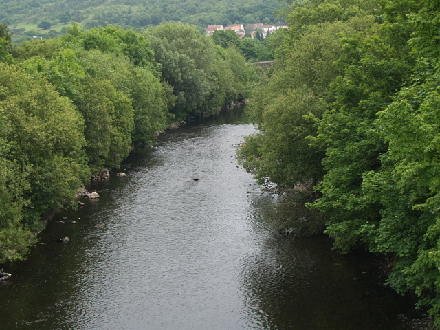
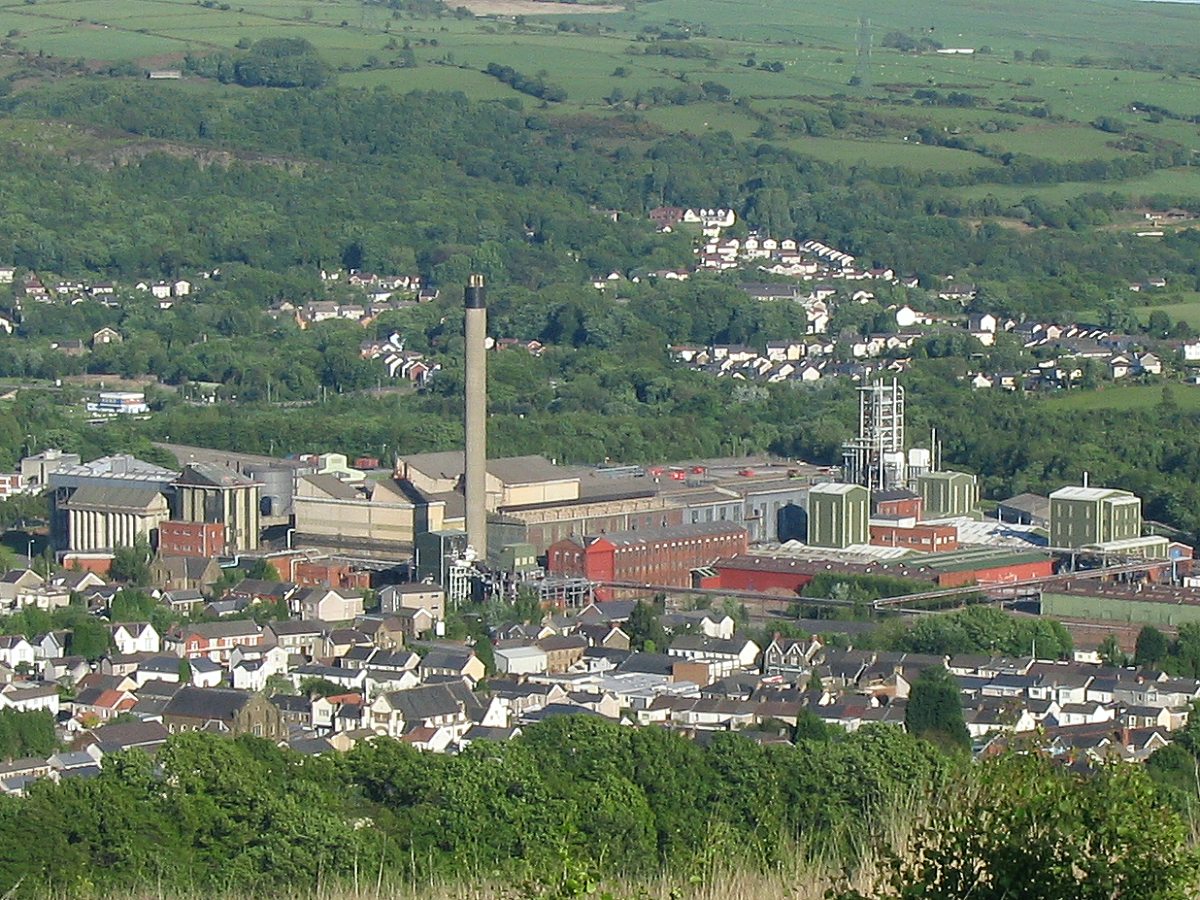
Ynys Tawe is a small village located in the county of Glamorgan, Wales. It lies on the banks of the River Tawe, which runs through the Swansea Valley. The village is situated approximately 7 miles north of the city of Swansea, making it a popular residential area for those seeking a quieter lifestyle while still having easy access to urban amenities.

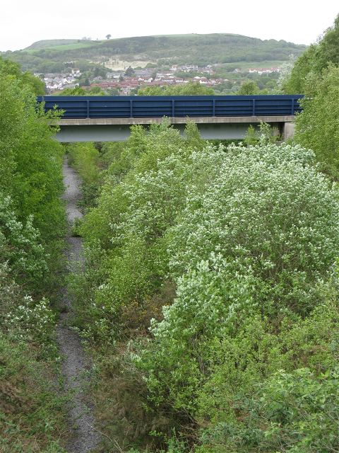
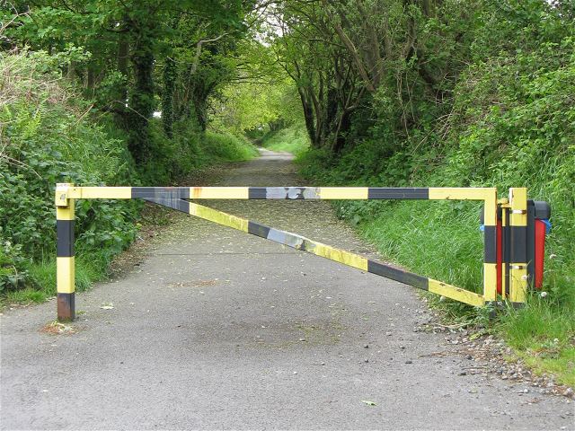
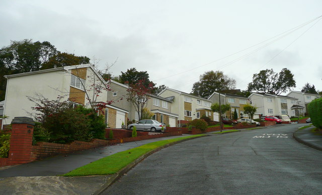
Ynys Tawe is known for its picturesque surroundings, with the river and the nearby rolling hills providing a beautiful backdrop to the village. The area is rich in natural beauty, with many walking and cycling trails available for outdoor enthusiasts to explore.

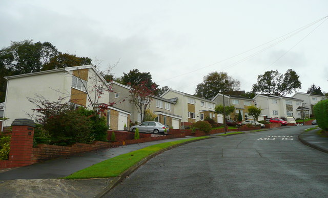
The village itself is relatively small, with a close-knit community that prides itself on its friendly and welcoming atmosphere. It has a few local amenities, including a pub, a small convenience store, and a primary school. For more extensive shopping and entertainment options, residents can easily access the nearby city of Swansea.

Ynys Tawe has a rich history, with evidence of human settlement in the area dating back to prehistoric times. There are also historical landmarks in the vicinity, such as the ruins of Ynysgedwyn Castle, which was built in the 13th century.

Overall, Ynys Tawe offers a peaceful and scenic environment for residents and visitors alike. Its proximity to Swansea provides the best of both worlds, with access to city amenities while being able to enjoy the tranquility of a rural setting.

If you have any feedback on the listing, please let us know in the comments section below.
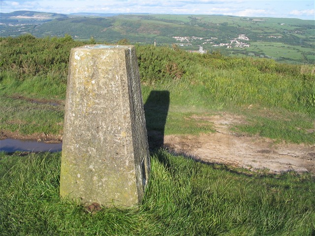
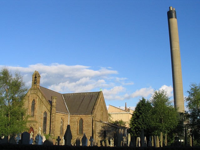
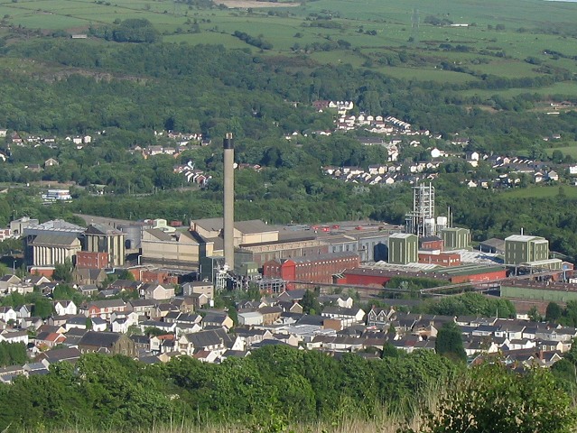
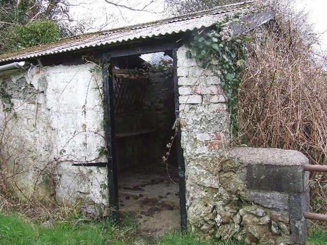
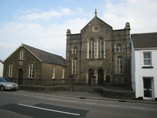
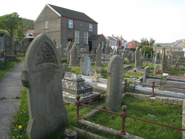
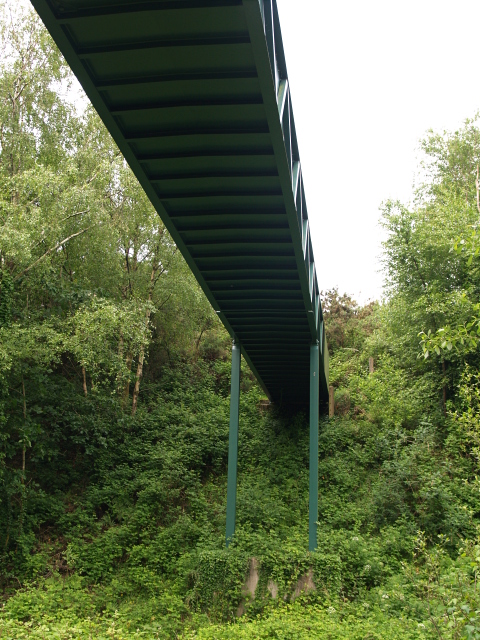
Ynys Tawe Images

Images are sourced within 2km of 51.688231/-3.908565 or Grid Reference SN6800. Thanks to Geograph Open Source API. All images are credited.

Trig pillar on Mynydd Gelliwastad This trig pillar is right next to a rutted trail across the mountain. 
This is the view east towards Clydach below. 
If you look carefully, you can see the chimney from the Inco nickel refinery popping up above the bushes just a little to the right of the pillar top. Swansea, Port Talbot and much of the Swansea valley are also visible from this hill.
Trig pillar on Mynydd Gelliwastad
This trig pillar is right next to a rutted trail across the mountain. This is the view east towards Clydach below. If you look carefully, you can see the chimney from the Inco nickel refinery popping up above the bushes just a little to the right of the pillar top. Swansea, Port Talbot and much of the Swansea valley are also visible from this hill.
Church and Refinery at Clydach The chimney stack of the nickel refinery dominates the town of Clydach near Swansea. Here it can be seen to the south of a church in the middle of town.
Church and Refinery at Clydach
The chimney stack of the nickel refinery dominates the town of Clydach near Swansea. Here it can be seen to the south of a church in the middle of town.
Clydach Refinery seen from above Here is a view of the Inco nickel refinery as seen from the trail up Mynydd Gelliwastad.
Clydach Refinery seen from above
Here is a view of the Inco nickel refinery as seen from the trail up Mynydd Gelliwastad.
Semi derelict stable Small shed used as a stable on side of single track road, with possible stile on side of building (no footpath sign though so probably private).
Semi derelict stable
Small shed used as a stable on side of single track road, with possible stile on side of building (no footpath sign though so probably private).
Moriah, Ynystawe. Capel y Bedyddwyr, mae'r garreg uwchben y drysau yn cofnodi 1892 fel blwyddyn yr adeiladu.  Helaethwyd yr  adeilad yn 1928.

A Baptist chapel, the stone above the doors gives 1892 as the year of construction.  The chapel was enlarged in 1928.
Moriah, Ynystawe.
Capel y Bedyddwyr, mae'r garreg uwchben y drysau yn cofnodi 1892 fel blwyddyn yr adeiladu. Helaethwyd yr adeilad yn 1928. A Baptist chapel, the stone above the doors gives 1892 as the year of construction. The chapel was enlarged in 1928.
Bethania, Clydach Mae'r garreg ar y wyneb yn dweud mai'r Parchedig Morgan Lewis adeiladodd y capel yn 1841 ac mai James Loid oedd y saer maen.

The stone between the upper windows commemorates the Rev. Morgan Lewis as the builder of the chapel and James Loid as the mason.
Bethania, Clydach
Mae'r garreg ar y wyneb yn dweud mai'r Parchedig Morgan Lewis adeiladodd y capel yn 1841 ac mai James Loid oedd y saer maen. The stone between the upper windows commemorates the Rev. Morgan Lewis as the builder of the chapel and James Loid as the mason.
Ysbyty Treforys.  Morriston Hospital. Mae'r simdde amryliw ar y chwith yn un o nodweddion pensaerniol y fro.

The multi coloured chimney on the left is a prominent local landmark.
Ysbyty Treforys. Morriston Hospital.
Mae'r simdde amryliw ar y chwith yn un o nodweddion pensaerniol y fro. The multi coloured chimney on the left is a prominent local landmark.
Felin Wen. Dyma'r adeilad cyntaf wrth yrru i mewn i'r sgwar o'r de.

The first building you see driving into this square from the south.  Felin Wen means 'White Mill'
Felin Wen.
Dyma'r adeilad cyntaf wrth yrru i mewn i'r sgwar o'r de. The first building you see driving into this square from the south. Felin Wen means 'White Mill'
Footbridge, Glais The footpath crosses the line of an old railway below.
Footbridge, Glais
The footpath crosses the line of an old railway below.
River Tawe, near Glais Looking upstream, taken from the A4067 bridge.
River Tawe, near Glais
Looking upstream, taken from the A4067 bridge.
Bryntawe, Ynystawe A very steep suburban road on the northern edge of the Swansea conurbation.
Bryntawe, Ynystawe
A very steep suburban road on the northern edge of the Swansea conurbation.
Dismantled railway to Clydach tinplate works As seen from <a href="https://www.geograph.org.uk/photo/831194">SN6900 : Footbridge, Glais</a>
The OS have recently updated their maps to remove the rails from this line but the tree growth suggests they have been gone for much longer. The cutting is wide enough for two tracks and there are now two worn paths side by side along the course.
The visible bridge is part of the more recently built A4067.
Dismantled railway to Clydach tinplate works
As seen from SN6900 : Footbridge, Glais The OS have recently updated their maps to remove the rails from this line but the tree growth suggests they have been gone for much longer. The cutting is wide enough for two tracks and there are now two worn paths side by side along the course. The visible bridge is part of the more recently built A4067.
North end of closed Garth Road Garth road has taken a beating from redevelopments. The new A4067 (bridge pictured in <a href="https://www.geograph.org.uk/photo/1332663">SN6900 : Dismantled railway to Clydach tinplate works</a>) isolated the north end of this road so it has been blocked off. It seems to be used mainly by dog walkers - hence the red bin - and presumably the farmer can still open the gate for access to fields.
North end of closed Garth Road
Garth road has taken a beating from redevelopments. The new A4067 (bridge pictured in SN6900 : Dismantled railway to Clydach tinplate works) isolated the north end of this road so it has been blocked off. It seems to be used mainly by dog walkers - hence the red bin - and presumably the farmer can still open the gate for access to fields.
End of the road The decent tarmac of Garth Road ends here and a narrow footpath descends to a new footbridge allowing circuitous access to Clydach.
End of the road
The decent tarmac of Garth Road ends here and a narrow footpath descends to a new footbridge allowing circuitous access to Clydach.
Viewing stand - or bus stop shelter? From a distance, it seems that some new viewing shelters have been built on each side of the rugby pitch here.

Closer inspection indeed revealed that these stands *were* re-purposed bus stop shelters complete with their now non-functioning matrix display boards (inside) and a current timetable stating that the bus stop gave times from Swansea Railway Station.

One suspects that you'd be waiting a long time here if you wanted to catch the 17 the Gowerton or the 24 to Moriston Hospital...
Viewing stand - or bus stop shelter?
From a distance, it seems that some new viewing shelters have been built on each side of the rugby pitch here. Closer inspection indeed revealed that these stands *were* re-purposed bus stop shelters complete with their now non-functioning matrix display boards (inside) and a current timetable stating that the bus stop gave times from Swansea Railway Station. One suspects that you'd be waiting a long time here if you wanted to catch the 17 the Gowerton or the 24 to Moriston Hospital...
Swansea Canal overflows into Lower Clydach River Just don't ask what the water level is. 
The aqueduct here is also a handy overflow maintaining the level in the canal. The excess falls down into the Lower Clydach River just before it joins the Tawe.
Swansea Canal overflows into Lower Clydach River
Just don't ask what the water level is. The aqueduct here is also a handy overflow maintaining the level in the canal. The excess falls down into the Lower Clydach River just before it joins the Tawe.
Footbridge over River Tawe at Clydach This bridge allows access to the playing fields <a href="https://www.geograph.org.uk/photo/1445541">SN6900 : Viewing stand - or bus stop shelter?</a> on the other side of the river.
Footbridge over River Tawe at Clydach
This bridge allows access to the playing fields SN6900 : Viewing stand - or bus stop shelter? on the other side of the river.
Mineral line bridge over Tawe The dismantled mineral line that used to run into the Mond refinery (now the Inco works <a href="https://www.geograph.org.uk/photo/177129">SN6901 : Clydach Refinery seen from above</a>) is now blocked off at the works fence. You can still get on to the bridge to look at the river though.
Mineral line bridge over Tawe
The dismantled mineral line that used to run into the Mond refinery (now the Inco works SN6901 : Clydach Refinery seen from above) is now blocked off at the works fence. You can still get on to the bridge to look at the river though.
Show me another place!

Ynys Tawe is located at Grid Ref: SN6800 (Lat: 51.688231, Lng: -3.908565)

Unitary Authority: Swansea

Police Authority: South Wales

Also known as: Ynystawe, Ynys-Tawe

What 3 Words

///engulfing.resting.unwraps. Near Clydach, Swansea

Related Wikis

Clydach, Swansea

Clydach is both a village and a community in Swansea, Wales, within the Clydach ward and the Llangyfelach parish. It is located 6 miles (9.7 km) northeast...

Ynystawe

Ynystawe (also Ynysdawe in Welsh; Welsh pronunciation: [ənɨ̞s.taʊ.ɛ]) is a village in the City and County of Swansea, Wales, and in the electoral ward...

Cwmrhydyceirw

Cwmrhydyceirw is a village in the City and County of Swansea, south Wales. The village is located about 1 mile north of Morriston town centre. It is home...

Clydach-on-Tawe railway station

Clydach-on-Tawe railway station served the community of Clydach and Ynystawe in Swansea, Wales from 1885 to 1965 on the Swansea Vale Railway. == History... ==

Nearby Amenities

Located within 500m of 51.688231,-3.908565
Crossing
Lat/Long: 51.6853757/-3.9080613
Mini Roundabout
Direction: clockwise
Lat/Long: 51.6912325/-3.9034397
Mini Roundabout
Direction: clockwise
Lat/Long: 51.683975/-3.9099528
Power: substation
Lat/Long: 51.6893432/-3.9046379
Addr Housenumber: 634
Addr Postcode: SA6 5AY
Addr Street: Clydach Road
Shop: vacant
Lat/Long: 51.6863017/-3.906499
Power: tower
Lat/Long: 51.6916035/-3.9092124
Bus Stop
Ynystawe Bridge (NE)
Bus: yes
Naptan AtcoCode: 5810AWC51345
Naptan Bearing: NE
Naptan CommonName: Ynystawe Bridge (NE)
Naptan Crossing: Park Road
Naptan NaptanCode: swaptjm
Naptan Street: Clydach Road
Naptan Verified: no
Public Transport: platform
Source: naptan_import
Lat/Long: 51.6841726/-3.9097134
Bus Stop
Ynystawe Bridge (SW)
Bus: yes
Naptan AtcoCode: 5810AWC51346
Naptan Bearing: SW
Naptan CommonName: Ynystawe Bridge (SW)
Naptan Crossing: Park Road
Naptan NaptanCode: swaptjp
Naptan Street: Clydach Road
Naptan Verified: no
Public Transport: platform
Source: naptan_import
Lat/Long: 51.6846215/-3.9086472
Bus Stop
Ynystawe Primary School (SW)
Bus: yes
Naptan AtcoCode: 5810AWC51347
Naptan Bearing: SW
Naptan CommonName: Ynystawe Primary School (SW)
Naptan Landmark: Ynystawe Primary School
Naptan NaptanCode: swaptjd
Naptan Street: Clydach Road
Naptan Verified: no
Public Transport: platform
Source: naptan_import
Lat/Long: 51.6857208/-3.9074059
Bus Stop
Ynystawe Primary School (NE)
Bus: yes
Naptan AtcoCode: 5810AWC51348
Naptan Bearing: NE
Naptan CommonName: Ynystawe Primary School (NE)
Naptan Landmark: Ynystawe Primary School
Naptan NaptanCode: swaptjg
Naptan Street: Clydach Road
Naptan Verified: no
Public Transport: platform
Source: naptan_import
Lat/Long: 51.6860942/-3.9071178
Bus Stop
Ynystawe Hill (SW)
Bus: yes
Naptan AtcoCode: 5810AWC51349
Naptan Bearing: SW
Naptan CommonName: Ynystawe Hill (SW)
Naptan NaptanCode: swaptgw
Naptan Street: Clydach Road
Naptan Verified: no
Public Transport: platform
Source: naptan_import
Lat/Long: 51.6882636/-3.9058779
Bus Stop
Ynystawe Hill (NE)
Bus: yes
Naptan AtcoCode: 5810AWC51350
Naptan Bearing: NE
Naptan CommonName: Ynystawe Hill (NE)
Naptan NaptanCode: swaptja
Naptan Street: Clydach Road
Naptan Verified: no
Public Transport: platform
Source: naptan_import
Lat/Long: 51.6883873/-3.9060133
Bus Stop
Clydach Market (SW)
Bus: yes
Naptan AtcoCode: 5810AWC51369
Naptan Bearing: SW
Naptan CommonName: Clydach Market (SW)
Naptan NaptanCode: swaptgm
Naptan Street: Clydach Road
Naptan Verified: no
Public Transport: platform
Source: naptan_import
Lat/Long: 51.6904562/-3.9037563
Power: tower
Lat/Long: 51.6887735/-3.903255
Post Box
Collection Times: Mo-Fr 09:00; Sa 07:00
Post Box Type: wall
Ref: SA6 404D
Royal Cypher: EIIR
Royal Cypher Wikidata: Q33102113
Lat/Long: 51.6853253/-3.9079615
Location Transition: yes
Power: pole
Lat/Long: 51.6913965/-3.9051086
Power: pole
Lat/Long: 51.6924033/-3.9065275
Power: pole
Lat/Long: 51.6927126/-3.9088771
Direction: WSW
Generator Method: photovoltaic
Generator Output Electricity: yes
Generator Solar Modules: 8
Generator Source: solar
Generator Type: solar_photovoltaic_panel
Location: roof
Power: generator
Lat/Long: 51.6869551/-3.9101344
Direction: SSW
Generator Method: photovoltaic
Generator Output Electricity: yes
Generator Solar Modules: 16
Generator Source: solar
Generator Type: solar_photovoltaic_panel
Location: roof
Power: generator
Lat/Long: 51.683972/-3.9095403
Direction: SE
Generator Method: photovoltaic
Generator Output Electricity: yes
Generator Solar Modules: 16
Generator Source: solar
Generator Type: solar_photovoltaic_panel
Location: roof
Power: generator
Lat/Long: 51.6898091/-3.9050838
Direction: 125
Generator Method: photovoltaic
Generator Output Electricity: yes
Generator Solar Modules: 10
Generator Source: solar
Generator Type: solar_photovoltaic_panel
Location: roof
Power: generator
Lat/Long: 51.6855514/-3.9085995
Direction: ENE
Generator Method: photovoltaic
Generator Output Electricity: yes
Generator Solar Modules: 8
Generator Source: solar
Generator Type: solar_photovoltaic_panel
Location: roof
Power: generator
Lat/Long: 51.6869985/-3.9099607
Direction: 145
Generator Method: photovoltaic
Generator Output Electricity: yes
Generator Solar Modules: 11
Generator Source: solar
Generator Type: solar_photovoltaic_panel
Location: roof
Power: generator
Lat/Long: 51.6859068/-3.9109397
Direction: 215
Generator Method: photovoltaic
Generator Output Electricity: yes
Generator Solar Modules: 15
Generator Source: solar
Generator Type: solar_photovoltaic_panel
Location: roof
Power: generator
Lat/Long: 51.6903357/-3.9053071
The data included in this document is from www.openstreetmap.org. The data is made available under ODbL.

Have you been to Ynys Tawe?

Leave your review of Ynys Tawe below (or comments, questions and feedback).