Yarrow Feus

Settlement in Selkirkshire

Scotland

Yarrow Feus

Towards Sundhope The farm access road. There has been some clear-felling here.
Towards Sundhope Credit: Mary and Angus Hogg

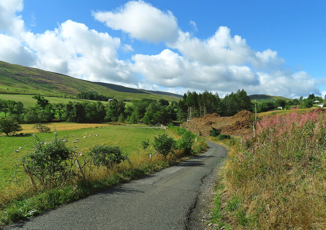
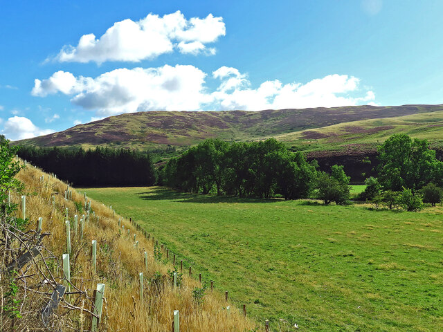
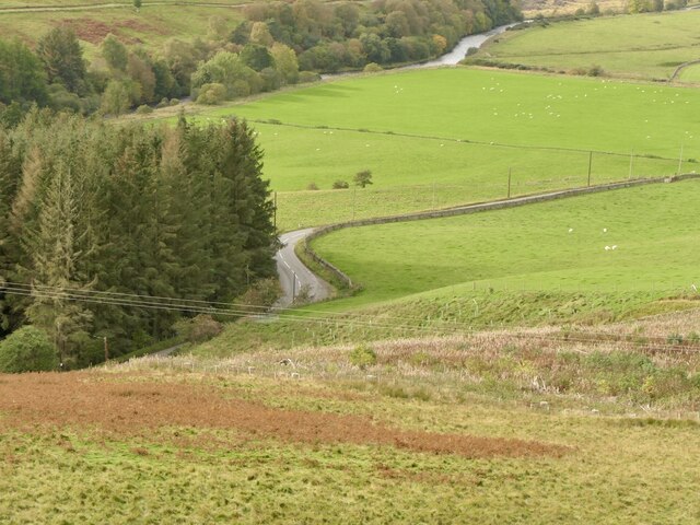
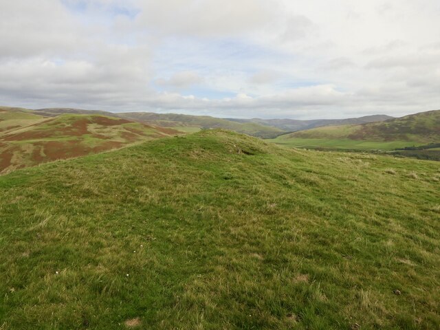
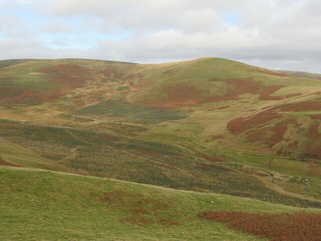
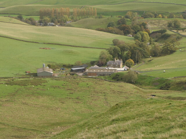
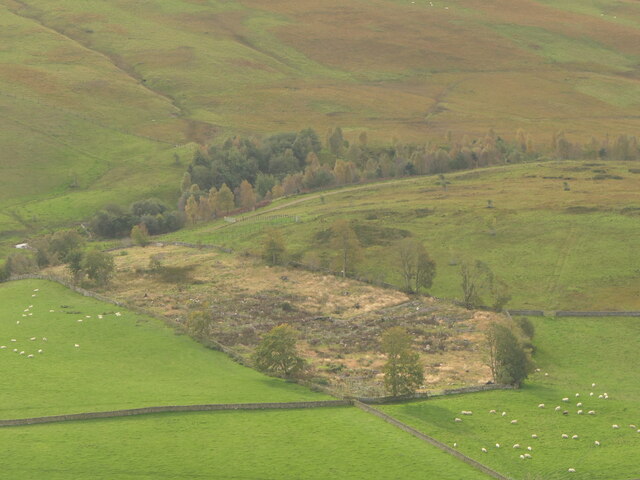
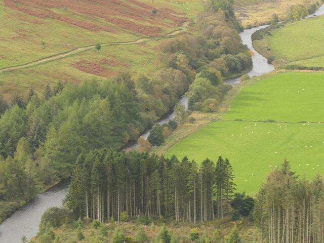
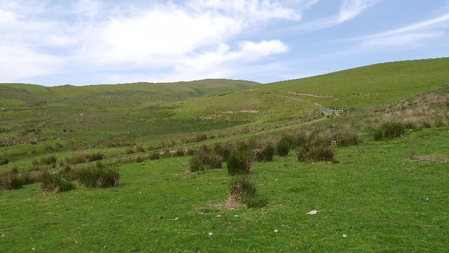
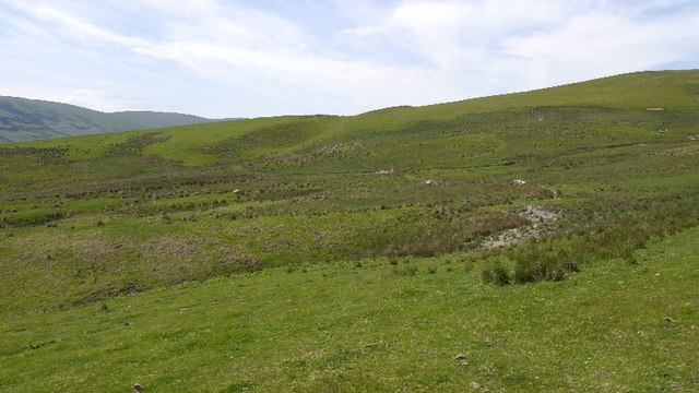
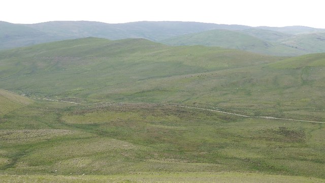
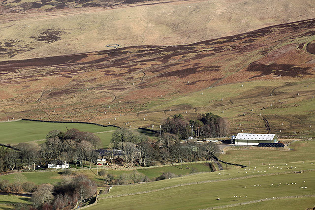
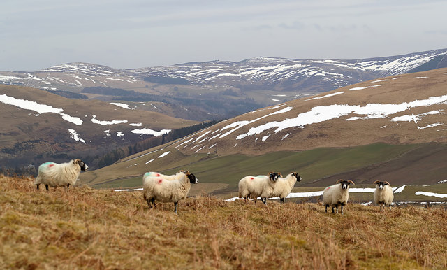
Yarrow Feus is a small village located in the historic county of Selkirkshire, Scotland. Situated in the scenic Yarrow Valley, it is surrounded by rolling hills, lush greenery, and picturesque landscapes. The village is approximately 10 miles south of the town of Selkirk and is easily accessible by road.

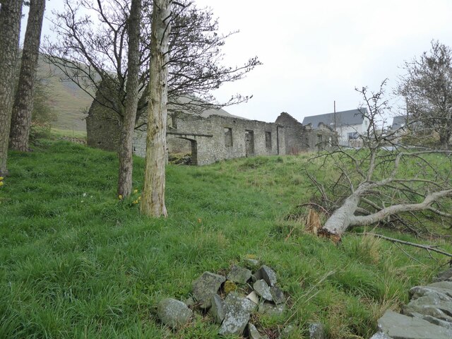
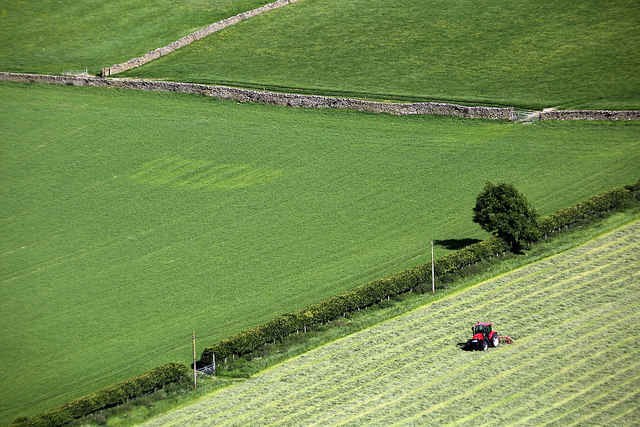
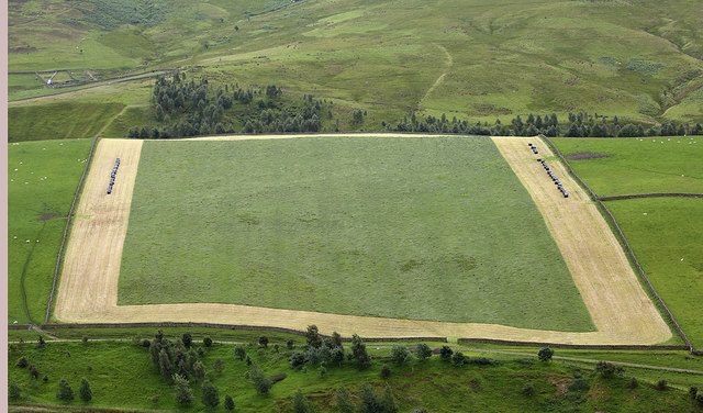
Yarrow Feus is known for its rich history and strong connection to the agricultural industry. The village has a close-knit community that takes pride in its rural heritage and traditions. Its name "Feus" refers to the fertile land that was originally granted to tenants by the local lord.

The village offers a tranquil and idyllic setting for residents and visitors alike. It is a popular destination for outdoor enthusiasts, with numerous walking and hiking trails in the area. The nearby Yarrow Water, a river renowned for its fishing, attracts anglers from far and wide.

Yarrow Feus has limited amenities, with a local pub and a small convenience store catering to the needs of its residents. However, the village benefits from its close proximity to Selkirk, where a wider range of services and amenities can be found.

Overall, Yarrow Feus is a charming and peaceful village that provides a perfect escape from the hustle and bustle of city life. Its natural beauty, rich history, and welcoming community make it an attractive destination for those seeking a rural retreat in the heart of Scotland.

If you have any feedback on the listing, please let us know in the comments section below.

Yarrow Feus Images

Images are sourced within 2km of 55.514278/-3.046714 or Grid Reference NT3425. Thanks to Geograph Open Source API. All images are credited.

Towards Sundhope The farm access road. There has been some clear-felling here.
Towards Sundhope
The farm access road. There has been some clear-felling here.
Yarrow Feus view Looking across the Yarrow valley towards a heathery Crook Hill.
Yarrow Feus view
Looking across the Yarrow valley towards a heathery Crook Hill.
Ruined building Under Feuars Hill and above Yarrow Water.
Ruined building
Under Feuars Hill and above Yarrow Water.
A708, Cutcarwood Bendy road popular with motorcyclists, plenty about even on a midweek day in October.
A708, Cutcarwood
Bendy road popular with motorcyclists, plenty about even on a midweek day in October.
Summit, Feuars Hill A fine viewpoint requiring modest effort to get to.
Summit, Feuars Hill
A fine viewpoint requiring modest effort to get to.
Catslack Burn Newly planted with conifers.
Catslack Burn
Newly planted with conifers.
Catslackburn
Catslackburn
Felled plantation, Sundhope
Yarrow Water, Cutcarwood
A low level RAF Tornado in the Yarrow Valley I photographed this Tornado GR4 from Feuars Hill as it made a turn at Sundhope. It was always exciting to watch these frontline jets fly through the valley at almost 500mph and sometimes at 100 feet above ground level. The final Tornado low level sortie through the valley was a 2-ship on 03/12/2018 with ZA614/076 <a href="https://www.geograph.org.uk/photo/7038623">NT2724 : A low flying Tornado GR4 at Ward Law</a> and ZA607/EB-X <a href="https://www.geograph.org.uk/photo/5994704">NT2724 : A low flying RAF Tornado</a>. This aircraft type was withdrawn from RAF service in early 2019.
A low level RAF Tornado in the Yarrow Valley
I photographed this Tornado GR4 from Feuars Hill as it made a turn at Sundhope. It was always exciting to watch these frontline jets fly through the valley at almost 500mph and sometimes at 100 feet above ground level. The final Tornado low level sortie through the valley was a 2-ship on 03/12/2018 with ZA614/076 NT2724 : A low flying Tornado GR4 at Ward Law and ZA607/EB-X NT2724 : A low flying RAF Tornado. This aircraft type was withdrawn from RAF service in early 2019.
Field, Yarrow Uneaten hay from the previous winter's feeding in a field above the A708.
Field, Yarrow
Uneaten hay from the previous winter's feeding in a field above the A708.
Track, Dry Cleuch A track heads for the hill grazings above Yarrow.
Track, Dry Cleuch
A track heads for the hill grazings above Yarrow.
Slopes of Peat Law Grazing land above Catslackburn.
Slopes of Peat Law
Grazing land above Catslackburn.
Road along the Catslack Burn A newish farm track, Yarrow.  The hills here are grazed by cattle and sheep.
Road along the Catslack Burn
A newish farm track, Yarrow. The hills here are grazed by cattle and sheep.
Sundhope Farm This farm in the Yarrow Valley was viewed from Eldinhope Knowe in mid-February.
Sundhope Farm
This farm in the Yarrow Valley was viewed from Eldinhope Knowe in mid-February.
Farmland at Sundhope This was viewed in mid-June from Feuars Hill in the Yarrow Valley.
Farmland at Sundhope
This was viewed in mid-June from Feuars Hill in the Yarrow Valley.
Farmland at Sundhope Silage cutting has started in this field on the west side of Sundhope Farm. This was viewed from Feuars Hill.
Farmland at Sundhope
Silage cutting has started in this field on the west side of Sundhope Farm. This was viewed from Feuars Hill.
Sheep on Feuars Hill in the Yarrow Valley I met the shepherd on the hill who said these ewes will be ready for lambing in two weeks’ time.
Sheep on Feuars Hill in the Yarrow Valley
I met the shepherd on the hill who said these ewes will be ready for lambing in two weeks’ time.
Show me another place!

Yarrow Feus is located at Grid Ref: NT3425 (Lat: 55.514278, Lng: -3.046714)

Unitary Authority: The Scottish Borders

Police Authority: The Lothians and Scottish Borders

What 3 Words

///crossings.bikers.trackers. Near Innerleithen, Scottish Borders

Related Wikis

Yarrow, Scottish Borders

Yarrow is a place and parish in the Scottish Borders area of Scotland and in the former county of Selkirkshire.The name "Yarrow" may derive from the Celtic...

Selkirkshire

Selkirkshire or the County of Selkirk (Scottish Gaelic: Siorrachd Shalcraig) is a historic county and registration county of Scotland. It borders Peeblesshire...
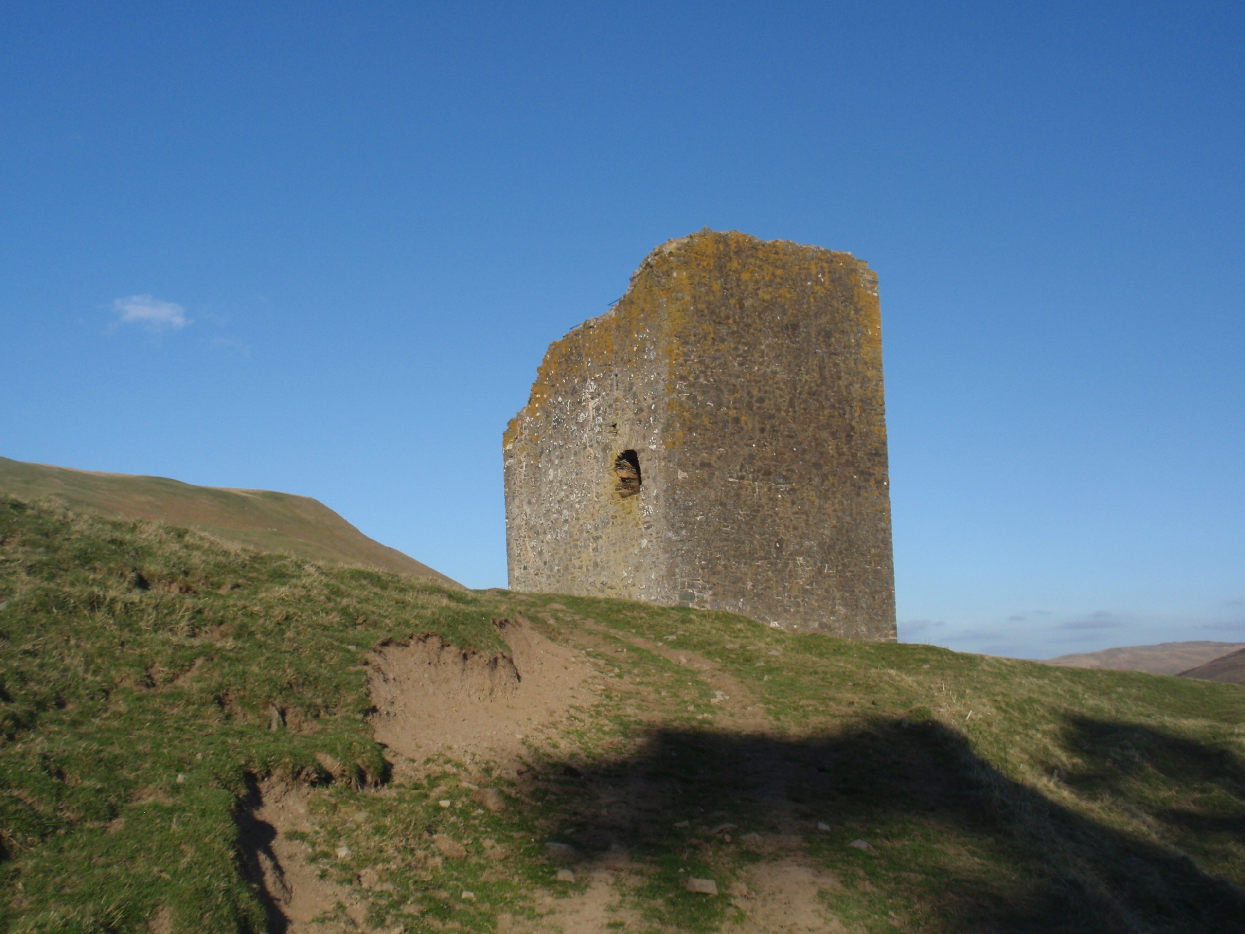
Kirkhope Tower

Kirkhope Tower is a Scottish Pele, located in the Ettrick Valley, in the historic county of Selkirkshire, now a division of the Scottish Borders. The tower...

Ettrickbridge

Ettrickbridge (Scottish Gaelic: Drochaid Eadaraig) is a village situated in the Scottish Borders region of Scotland, 7 miles (11 km) from the nearby town...

Dryhope Tower

Dryhope Tower is a ruined Scottish peel tower in the valley of the Yarrow Water, in the historic county of Selkirkshire, now part of the Scottish Borders...

Dryhope

Dryhope is a village in the Scottish Borders area of Scotland, by St. Mary's Loch, on the A708. Known for its rolling green hills and ample walking paths...

Aikwood Tower

Aikwood Tower (formerly known as Oakwood Tower) is a 16th-century tower house in the Scottish Borders area of Scotland, 4 miles (6 kilometres) southwest...

Yarrowford

Yarrowford is a village on the A708, in the Scottish Borders area of Scotland, 4 miles north-west of Selkirk, in the Ettrick Forest. The Yarrow Water flows...

Nearby Amenities

Located within 500m of 55.514278,-3.046714
Power: pole
Lat/Long: 55.5153035/-3.0535273
Power: pole
Lat/Long: 55.5149825/-3.0536204
Power: pole
Lat/Long: 55.5147286/-3.0537029
Power: pole
Lat/Long: 55.5143393/-3.0533179
Power: pole
Lat/Long: 55.5139333/-3.0529414
Ford: yes
Lat/Long: 55.5128593/-3.0537147
Ford: yes
Lat/Long: 55.5127118/-3.0539616
The data included in this document is from www.openstreetmap.org. The data is made available under ODbL.

Have you been to Yarrow Feus?

Leave your review of Yarrow Feus below (or comments, questions and feedback).