Ffor, Y

Settlement in Caernarfonshire

Wales

Ffor, Y

Pont Ffynnon Gadfa Crossing Afon Erch
Pont Ffynnon Gadfa Credit: Alan Fryer

Ffor, or Foryd, is a small village located in the county of Caernarfonshire, Wales. Situated along the northern coast of the country, Ffor lies approximately 4 miles northeast of the town of Caernarfon. The village is nestled beside the Foryd Bay, which opens into the Irish Sea.

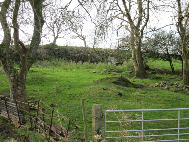
Despite its modest size, Ffor offers residents and visitors a picturesque setting with breathtaking views of the coast and surrounding countryside. The area is known for its stunning sunsets over the bay, attracting photographers and nature enthusiasts alike. The village is surrounded by rolling hills and green fields, creating an idyllic rural atmosphere.

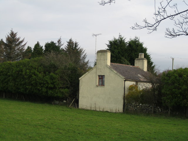
Ffor is primarily a residential area, with a close-knit community that values its peaceful environment. The village has a small selection of amenities, including a local pub, a convenience store, and a community center. The nearby town of Caernarfon provides further services and entertainment options.

For outdoor enthusiasts, Ffor offers easy access to a variety of activities. The Foryd Bay itself is popular for water sports such as kayaking, sailing, and windsurfing. The surrounding countryside is ideal for hiking, cycling, and birdwatching. Additionally, the nearby Snowdonia National Park provides opportunities for more adventurous pursuits, including mountain climbing and rock climbing.

Overall, Ffor is a charming village that provides a tranquil coastal retreat while also offering proximity to a range of recreational activities. Its natural beauty and friendly community make it an appealing destination for those seeking a slower pace of life in a stunning Welsh setting.

If you have any feedback on the listing, please let us know in the comments section below.
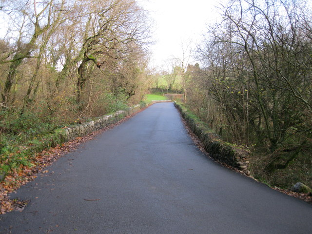
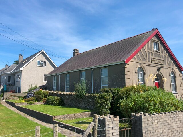
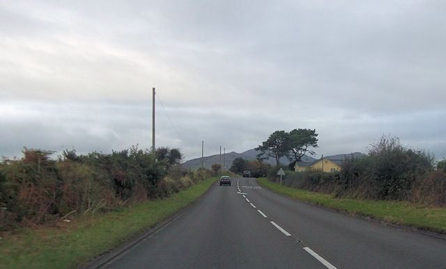
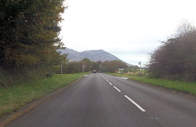
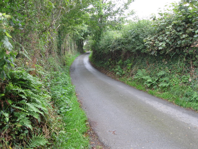
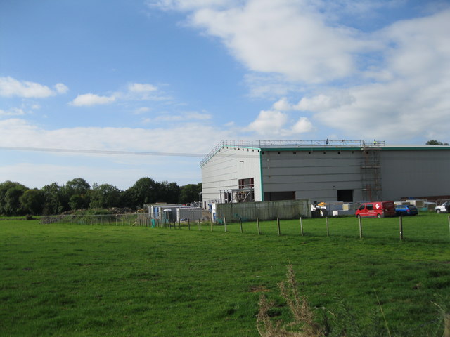
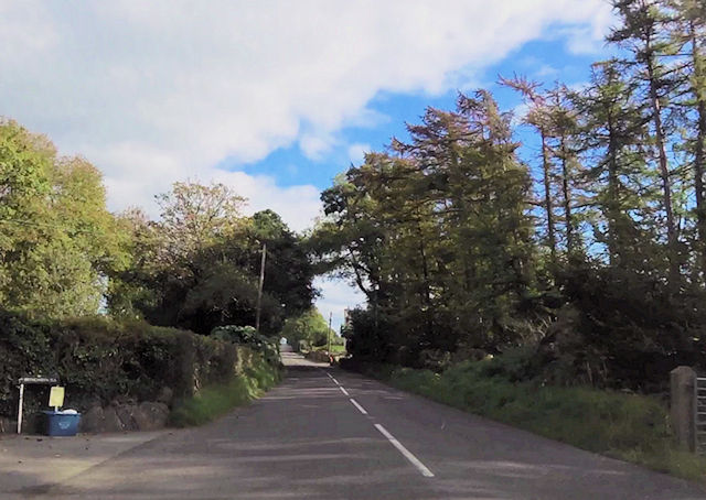
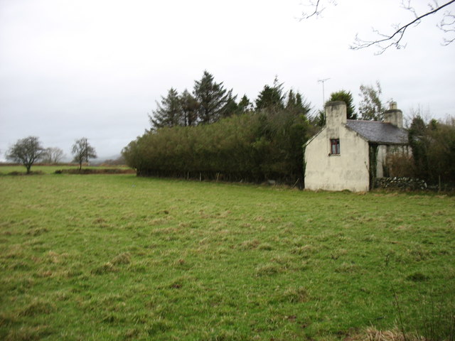
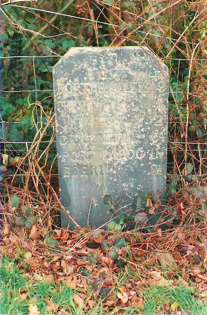
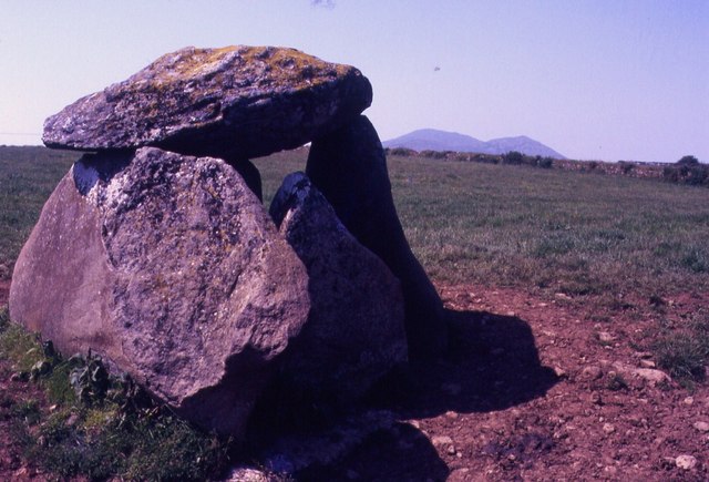
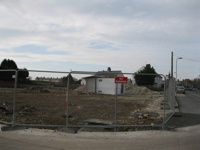
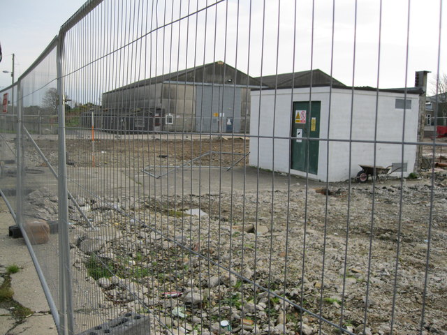
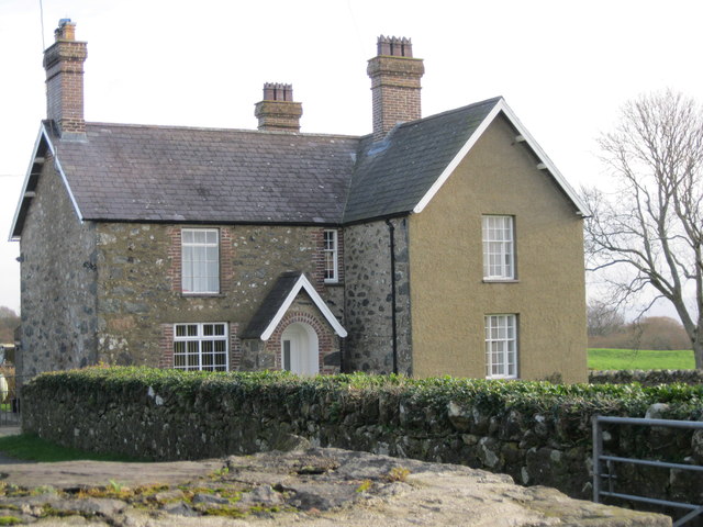
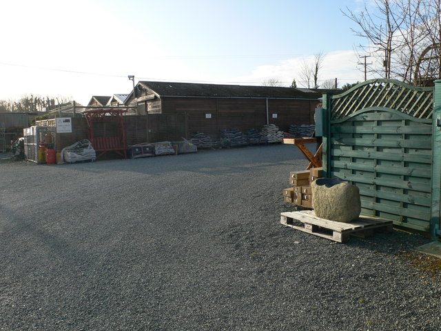
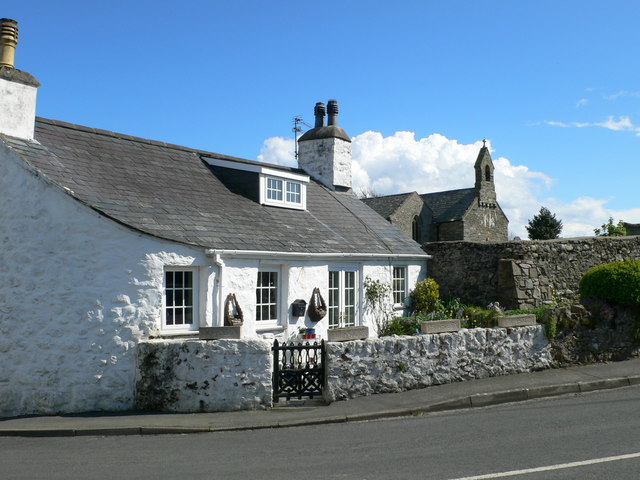
Ffor, Y Images

Images are sourced within 2km of 52.925116/-4.382665 or Grid Reference SH3939. Thanks to Geograph Open Source API. All images are credited.

Pont Ffynnon Gadfa Crossing Afon Erch
Pont Ffynnon Gadfa
Crossing Afon Erch
Ysgoldy M.C., Y Ffor Former vestry of Ebenezer Chapel
Ysgoldy M.C., Y Ffor
Former vestry of Ebenezer Chapel
Yellow house on A499 Just south of junction for Llwyndyrys and the preserve factory
Yellow house on A499
Just south of junction for Llwyndyrys and the preserve factory
A499 at Rhos Fawr junction
Ffordd wledig - Country road The narrow road running down to Abererch
Ffordd wledig - Country road
The narrow road running down to Abererch
Hufenfa De Arfon - South Caernarfon Creameries Work in progress on extending the cheese making facility at a cost of £8.5 million.
<span class="nowrap"><a title="http://www.dailypost.co.uk/news/north-wales-news/creamerys-85m-expansion-moves-forward-7995734" rel="nofollow ugc noopener" href="http://www.dailypost.co.uk/news/north-wales-news/creamerys-85m-expansion-moves-forward-7995734">Link</a><img style="margin-left:2px;" alt="External link" title="External link - shift click to open in new window" src="https://s1.geograph.org.uk/img/external.png" width="10" height="10"/></span>
Hufenfa De Arfon - South Caernarfon Creameries
Work in progress on extending the cheese making facility at a cost of £8.5 million. LinkExternal link
Bryngwydn entrance
Bryngwydn entrance
Farmland and cottage at Y Ffor
Old Milestone by the B4354 at Rhyd-y-gwystl Caernarvon chamfered slate by the B4354, in parish of Llannor (Gwynedd District), East of Y Ffor (Fourcrosses), on verge, back to wire fence, West of 40mph signs.

Inscription reads:-
PORTHDINLLEYN 9
NEVIN 6
CHWILOG 2
CRICCIETH 6½
PORTMADOC 11½
EDERN 8½ 

Surveyed

Milestone Society National ID: CAE_PDPM09
Old Milestone by the B4354 at Rhyd-y-gwystl
Caernarvon chamfered slate by the B4354, in parish of Llannor (Gwynedd District), East of Y Ffor (Fourcrosses), on verge, back to wire fence, West of 40mph signs. Inscription reads:- PORTHDINLLEYN 9 NEVIN 6 CHWILOG 2 CRICCIETH 6½ PORTMADOC 11½ EDERN 8½ Surveyed Milestone Society National ID: CAE_PDPM09
Y Ffor Burial Chamber
Safle Harlech Frozen Foods site <a href="https://www.geograph.org.uk/photo/1833110">SH4039 : Harlech Frozen Foods Depot, Y Ffôr</a> has relocated to larger new premises in Llanystumdwy Agri-food Park. The old buildings have been demolished and the site is cleared for redevelopment.
Safle Harlech Frozen Foods site
SH4039 : Harlech Frozen Foods Depot, Y Ffôr has relocated to larger new premises in Llanystumdwy Agri-food Park. The old buildings have been demolished and the site is cleared for redevelopment.
Safle Harlech Frozen Foods site See <a href="https://www.geograph.org.uk/photo/2708373">SH4039 : Safle Harlech Frozen Foods site</a>
Safle Harlech Frozen Foods site
Safle Harlech Frozen Foods site Health and Safety sign at <a href="https://www.geograph.org.uk/photo/2708373">SH4039 : Safle Harlech Frozen Foods site</a>
In this Welsh-speaking village one might have expected a bilingual version, but, given the mistakes in the English, it's perhaps as well there isn't one!
Safle Harlech Frozen Foods site
Health and Safety sign at SH4039 : Safle Harlech Frozen Foods site In this Welsh-speaking village one might have expected a bilingual version, but, given the mistakes in the English, it's perhaps as well there isn't one!
Ty'n Lôn Fawr
Ty'n Lôn Fawr
Hen chwarel - Old quarry Alongside the B4354.
Hen chwarel - Old quarry
Alongside the B4354.
Hen stondin llaeth - Old churn stand At the entrance to Castellcoed farm.
Hen stondin llaeth - Old churn stand
At the entrance to Castellcoed farm.
Bwlch y Ffordd Isa
Bwlch y Ffordd Isa
Tyddyn Sachau Garden Centre
Show me another place!

Ffor, Y is located at Grid Ref: SH3939 (Lat: 52.925116, Lng: -4.382665)

Unitary Authority: Gwynedd

Police Authority: North Wales

What 3 Words

///growl.polka.icicles. Near Pwllheli, Gwynedd

Nearby Locations

Ffor, Y Y Ffor

Related Wikis

Y Ffôr

Y Ffôr is a Welsh village located on the Llŷn Peninsula in the county of Gwynedd. == History == Settlement at Y Ffôr dates back to the Stone Age, but the...

Bryn Beryl Hospital

Bryn Beryl Hospital (Welsh: Ysbyty Bryn Beryl) is a health facility in Pwllheli, Gwynedd, Wales. It is managed by the Betsi Cadwaladr University Health...

Cantref Llŷn

Llŷn was an ancient Welsh cantref in north-west Wales. It was part of the kingdom of Gwynedd for much of its history until it was included in the new county...

Llanarmon, Gwynedd

Llanarmon (Welsh for 'Garmon's Church') is a small village and former civil parish in the old commote of Eifionydd and Cantref Dunoding in the Welsh county...

Penarth Fawr

Penarth Fawr is a hall house in the community of Llanystumdwy, Gwynedd, Wales. The oldest part of the house dates from the mid-fifteenth century and consists...

Abererch

Aber-erch ([abɛrˈɛrχ], Welsh for "Mouth of the Erch") is a small village and former civil parish on the Llŷn Peninsula in the Welsh county of Gwynedd....

Abererch railway station

Abererch railway station is located at a level crossing on the minor road from the beach to the village of Abererch on the Llŷn Peninsula in Gwynedd, Wales...

Butlin's Pwllheli

Butlin's Pwllheli (latterly Starcoast World then Hafan Y Môr after Haven Holidays took the site) was a holiday camp located near Pwllheli in Wales. The...

Nearby Amenities

Located within 500m of 52.925116,-4.382665
Y Ffor
Is In: Gwynedd,Wales,UK
Place: hamlet
Source: npe
Wikidata: Q3402636
Lat/Long: 52.9244753/-4.3830712
Post Box
Lat/Long: 52.9259524/-4.3839131
Turning Circle
Lat/Long: 52.9246675/-4.3857232
Power: pole
Lat/Long: 52.9284667/-4.3820278
Power: pole
Lat/Long: 52.92715/-4.3819001
Power: pole
Lat/Long: 52.9258797/-4.3806267
Power: pole
Lat/Long: 52.9251634/-4.3799117
Power: pole
Lat/Long: 52.924188/-4.3784684
Power: pole
Lat/Long: 52.9236592/-4.3766801
Power: pole
Lat/Long: 52.923903/-4.3775146
Power: pole
Lat/Long: 52.9245339/-4.3795892
Power: pole
Lat/Long: 52.9254943/-4.3801671
Power: pole
Lat/Long: 52.9265997/-4.3815695
Power: pole
Lat/Long: 52.9278783/-4.382375
Power: pole
Lat/Long: 52.9294196/-4.3825601
Power: pole
Lat/Long: 52.9248783/-4.3891834
Power: substation
Lat/Long: 52.9252473/-4.386552
Power: pole
Lat/Long: 52.9276751/-4.381375
Power: pole
Lat/Long: 52.9272724/-4.3800098
Power: pole
Lat/Long: 52.92727/-4.3794116
Power: pole
Lat/Long: 52.9272579/-4.3776199
Power: pole
Lat/Long: 52.9270889/-4.3763553
Direction: S
Generator Method: photovoltaic
Generator Output Electricity: yes
Generator Solar Modules: 8
Generator Source: solar
Generator Type: solar_photovoltaic_panel
Location: roof
Power: generator
Lat/Long: 52.9251494/-4.3838789
Direction: S
Generator Method: photovoltaic
Generator Output Electricity: yes
Generator Solar Modules: 9
Generator Source: solar
Generator Type: solar_photovoltaic_panel
Location: roof
Power: generator
Lat/Long: 52.9256539/-4.3838936
Direction: 170
Generator Method: photovoltaic
Generator Output Electricity: yes
Generator Solar Modules: 28
Generator Source: solar
Generator Type: solar_photovoltaic_panel
Location: roof
Power: generator
Lat/Long: 52.9251211/-4.3813596
Direction: 170
Generator Method: photovoltaic
Generator Output Electricity: yes
Generator Solar Modules: 28
Generator Source: solar
Generator Type: solar_photovoltaic_panel
Location: roof
Power: generator
Lat/Long: 52.9250455/-4.3817814
Direction: S
Generator Method: photovoltaic
Generator Output Electricity: yes
Generator Solar Modules: 5
Generator Source: solar
Generator Type: solar_photovoltaic_panel
Location: roof
Power: generator
Lat/Long: 52.9245325/-4.3822246
Direction: S
Generator Method: photovoltaic
Generator Output Electricity: yes
Generator Solar Modules: 5
Generator Source: solar
Generator Type: solar_photovoltaic_panel
Location: roof
Power: generator
Lat/Long: 52.9245293/-4.3824372
Direction: S
Generator Method: photovoltaic
Generator Output Electricity: yes
Generator Solar Modules: 4
Generator Source: solar
Generator Type: solar_photovoltaic_panel
Location: roof
Power: generator
Lat/Long: 52.9245244/-4.3826504
Direction: S
Generator Method: photovoltaic
Generator Output Electricity: yes
Generator Solar Modules: 10
Generator Source: solar
Generator Type: solar_photovoltaic_panel
Location: roof
Power: generator
Lat/Long: 52.9243005/-4.3826222
Direction: 85
Generator Method: photovoltaic
Generator Output Electricity: yes
Generator Solar Modules: 12
Generator Source: solar
Generator Type: solar_photovoltaic_panel
Location: roof
Power: generator
Lat/Long: 52.9246109/-4.3854775
Direction: 255
Generator Method: photovoltaic
Generator Output Electricity: yes
Generator Solar Modules: 12
Generator Source: solar
Generator Type: solar_photovoltaic_panel
Location: roof
Power: generator
Lat/Long: 52.9246045/-4.3855472
Direction: 175
Fixme: really uncertain about these, cold frame (?)
Generator Method: photovoltaic
Generator Output Electricity: yes
Generator Solar Modules: 3
Generator Source: solar
Generator Type: solar_photovoltaic_panel
Location: roof
Power: generator
Lat/Long: 52.9259126/-4.3887746
Direction: 175
Fixme: really uncertain about these, cold frame (?)
Generator Method: photovoltaic
Generator Output Electricity: yes
Generator Solar Modules: 10
Generator Source: solar
Generator Type: solar_photovoltaic_panel
Location: roof
Power: generator
Lat/Long: 52.9259385/-4.38879
Crossing
Crossing: traffic_signals
Lat/Long: 52.926063/-4.3843818
The data included in this document is from www.openstreetmap.org. The data is made available under ODbL.

Have you been to Ffor, Y?

Leave your review of Ffor, Y below (or comments, questions and feedback).