Wotton
Settlement in Gloucestershire Gloucester
England
Wotton

Wotton, Gloucestershire is a small market town located in the Stroud District of Gloucestershire, England. Situated in the southern part of the Cotswold Hills, it is nestled in a picturesque valley surrounded by rolling countryside. The town lies approximately 15 miles southwest of Gloucester and 20 miles southeast of Cheltenham.
Wotton is known for its rich history, dating back to the Anglo-Saxon period. It was granted a market charter in 1253, which contributed to its growth as a thriving market town. Today, remnants of its medieval past can still be seen in the architecture and layout of the town.
The main high street of Wotton is lined with a variety of independent shops, cafes, and traditional pubs, giving it a charming and quaint atmosphere. The town also features a number of historic buildings, including the 17th-century Market House, which now serves as a museum showcasing local history.
Nature enthusiasts can explore the surrounding countryside, which offers breathtaking views and numerous walking trails, including the famous Cotswold Way National Trail. Nearby attractions include the picturesque Newark Park, a Grade I listed country house, and the ancient woodlands of Wotton Hill and Ozleworth Bottom.
Wotton is also home to several annual events, such as the Wotton-under-Edge Arts Festival, which showcases local talent in music, drama, and the visual arts. The town's community spirit is further exemplified by its active local societies and clubs, which cater to various interests and age groups.
Overall, Wotton, Gloucestershire is a quintessentially English market town, offering a blend of historical charm, natural beauty, and a vibrant community spirit.
If you have any feedback on the listing, please let us know in the comments section below.
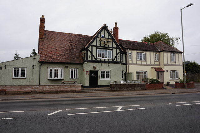
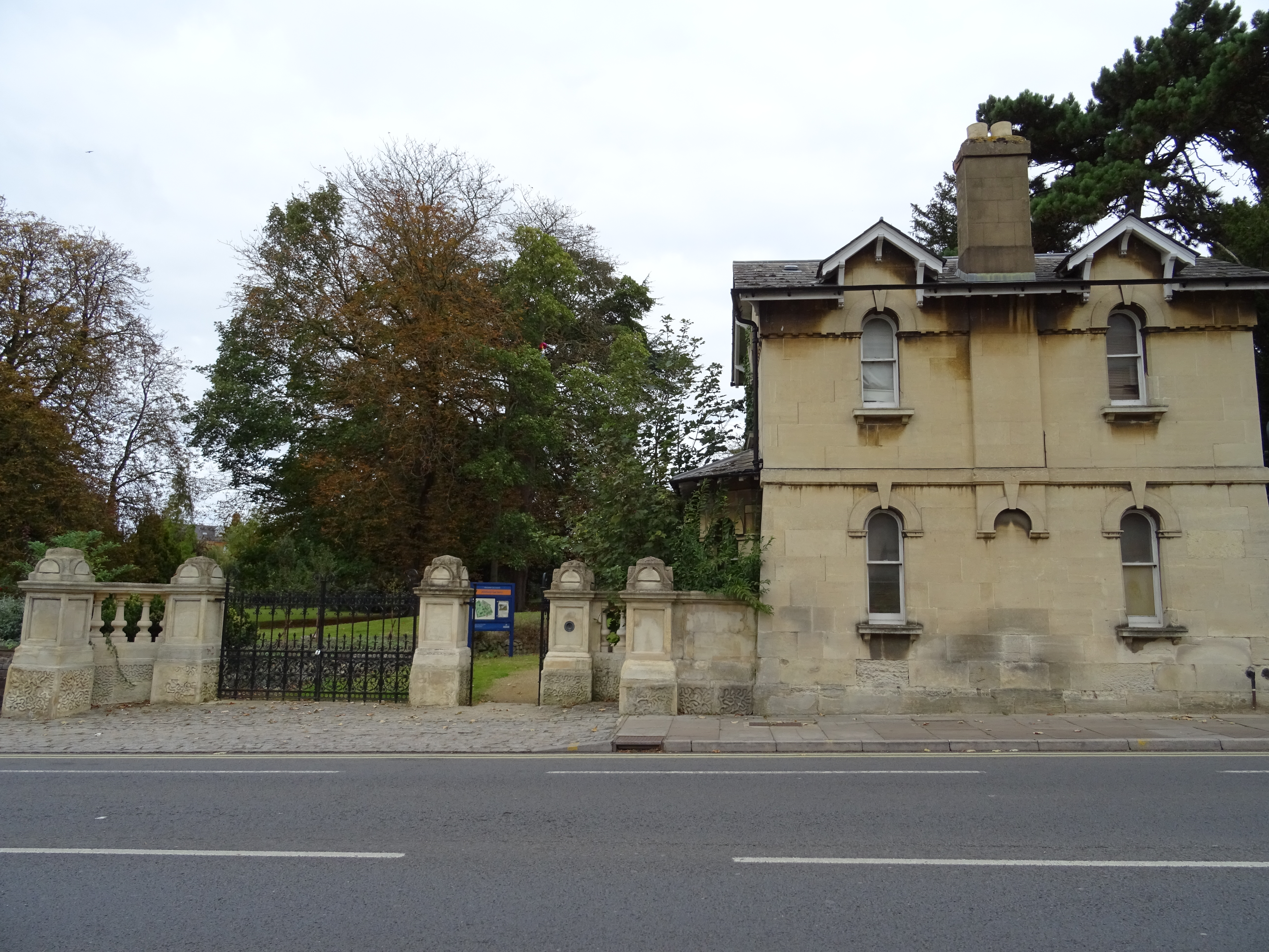
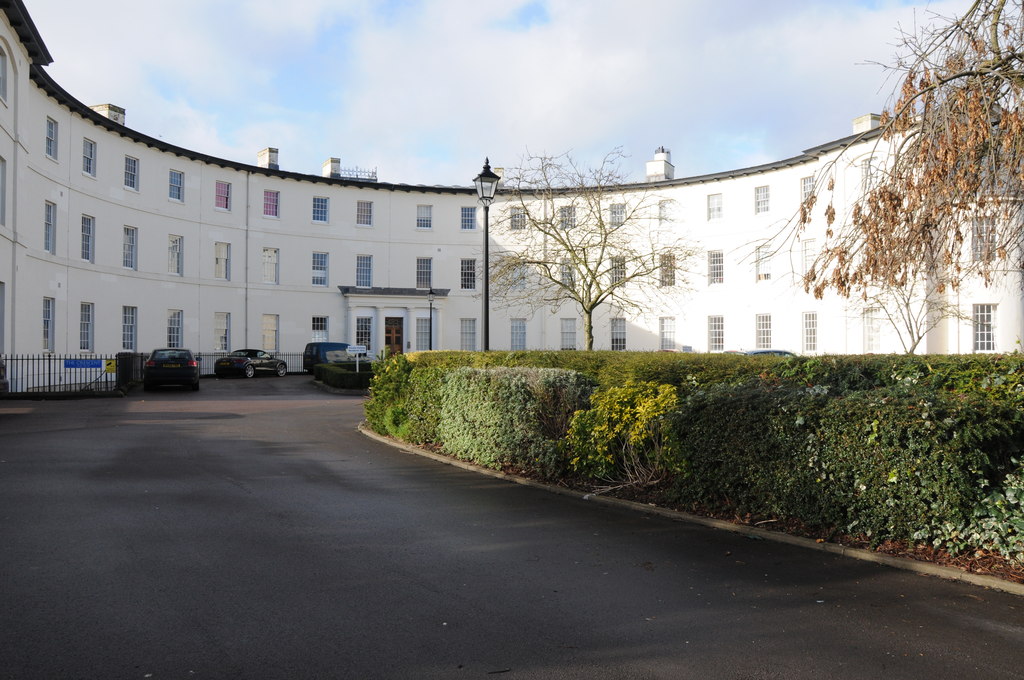
Wotton Images
Images are sourced within 2km of 51.868861/-2.2272347 or Grid Reference SO8418. Thanks to Geograph Open Source API. All images are credited.


Wotton is located at Grid Ref: SO8418 (Lat: 51.868861, Lng: -2.2272347)
Administrative County: Gloucestershire
District: Gloucester
Police Authority: Gloucestershire
What 3 Words
///mobile.curvy.events. Near Gloucester, Gloucestershire
Nearby Locations
Related Wikis
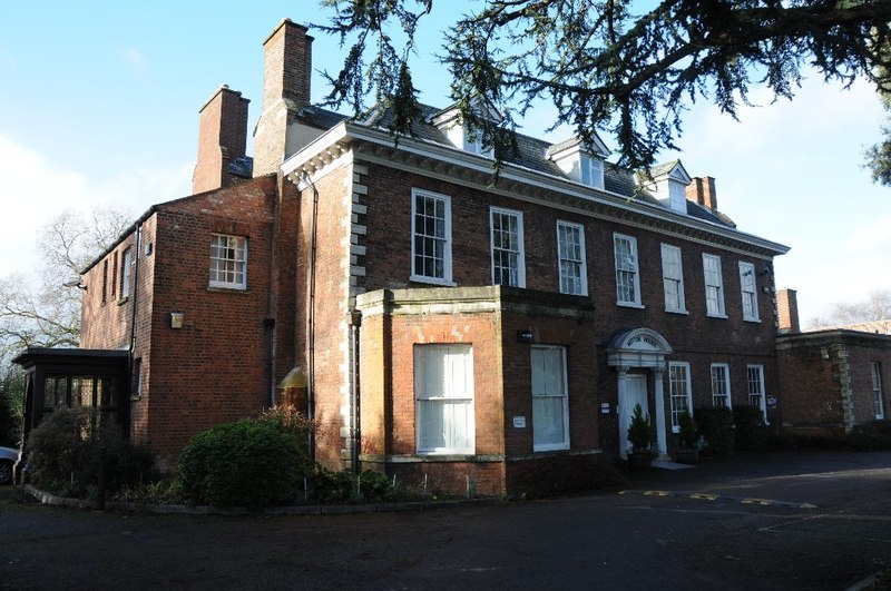
Wotton, Gloucester
Wotton is a suburb of Gloucester, in the county of Gloucestershire, England. It is situated close to the city centre (1 mile), the Royal Hospital, the...
Hillfield Gardens, Gloucester
Hillfield Gardens is a public park on London Road, Gloucester, England. It houses several historical monuments. The description in December 2020 stated...
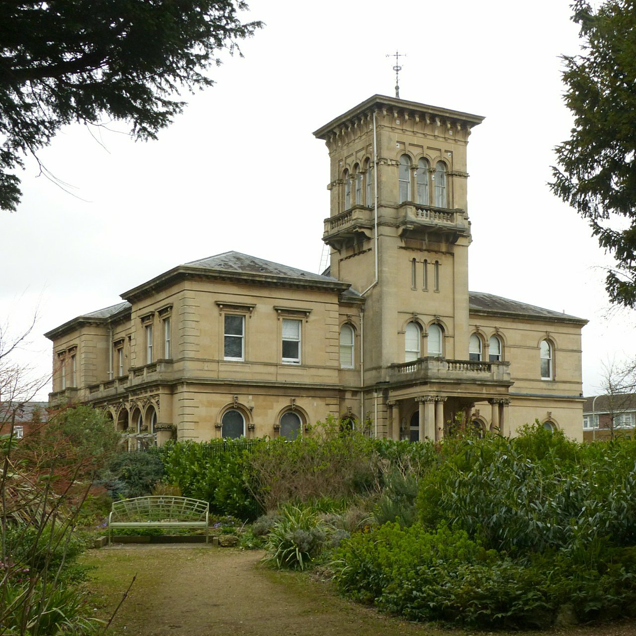
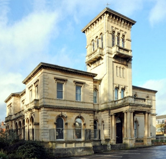
Hillfield House
Hillfield House is a grade II listed house in Denmark Road, Gloucester, in England. The building, in the Italianate style popularised by Charles Barry...
Horton Road
Horton Road is a street in the City of Gloucester, England. It is the location of Wotton House, Horton Road Hospital, and the former Horton Road Stadium...
Horton Road Hospital
The Horton Road Hospital was a mental health facility in Horton Road, Gloucester, England. == History == The hospital, which was designed by William Stark...

Gloucestershire Royal Hospital
Gloucestershire Royal Hospital is an acute District General Hospital on the Great Western Road in Gloucester operated by the Gloucestershire Hospitals...
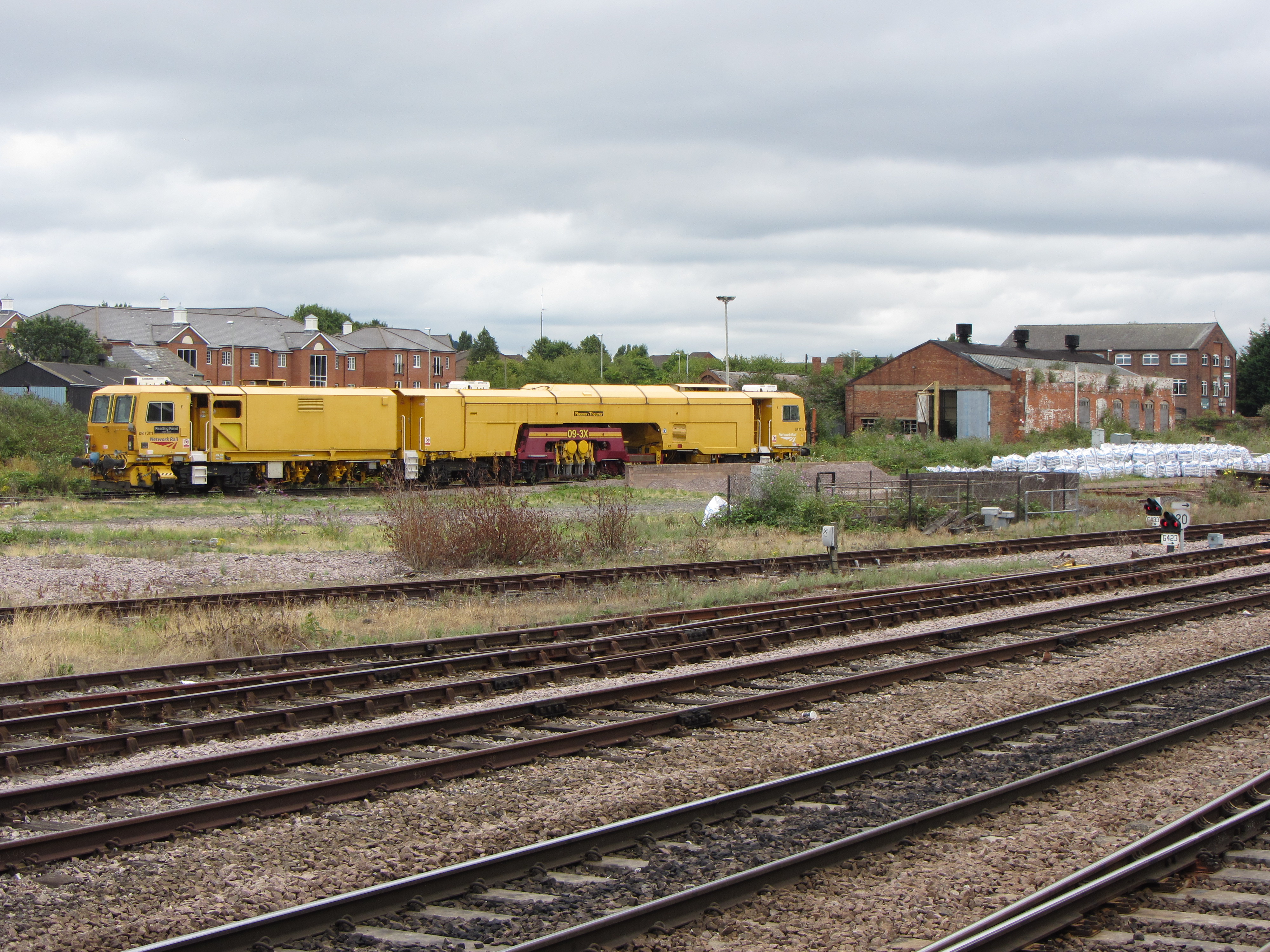
Gloucester TMD
Gloucester TMD is a traction maintenance depot located in Gloucester, Gloucestershire, England. The depot is situated on the Great Western Main Line and...

Elmbridge, Gloucester
Elmbridge is a suburb of Gloucester centred 2 miles (3.2 km) from the city centre. == Extent == It is south of Longlevens and northwest of Barnwood from...
Nearby Amenities
Located within 500m of 51.868861,-2.2272347Have you been to Wotton?
Leave your review of Wotton below (or comments, questions and feedback).