Bream's Meend

Settlement in Gloucestershire Forest of Dean

England

Bream's Meend

St James’ Church Bream Sunday morning worshippers gathering outside the door.
St James’ Church Bream Credit: David Martin

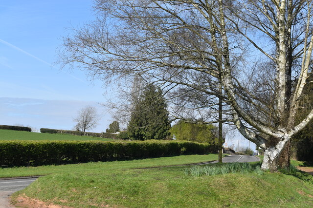
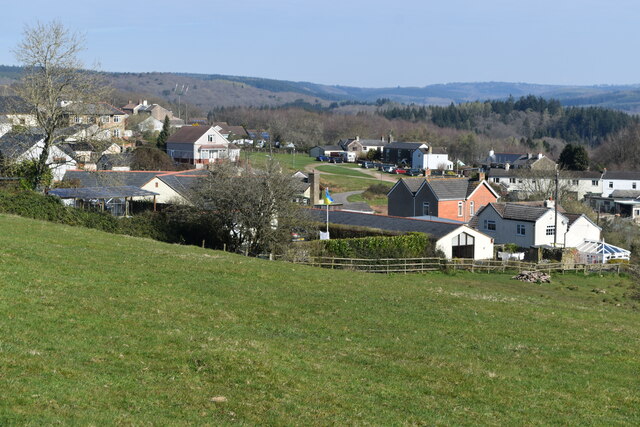
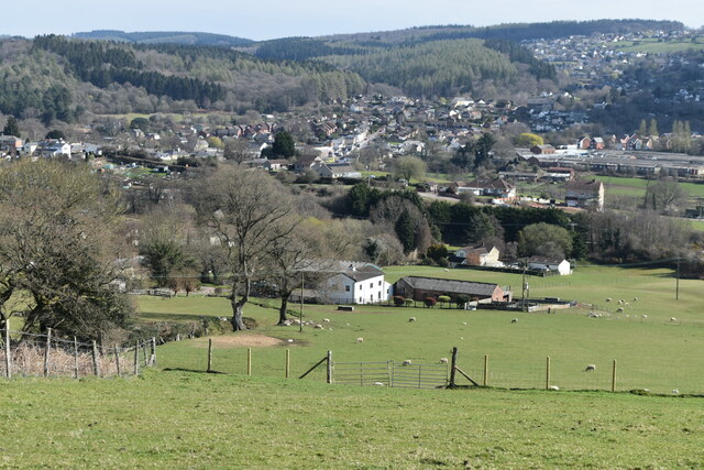
Bream's Meend is a small village located in Gloucestershire, England. Situated in the Forest of Dean district, it is surrounded by beautiful woodland and rolling hills, making it an ideal destination for nature lovers and outdoor enthusiasts.

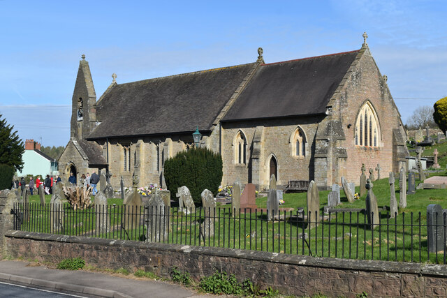
The village is known for its rich history, dating back to medieval times. It was once a thriving mining community, with coal being the primary resource extracted from the nearby Forest of Dean. Today, remnants of the mining industry can still be seen in the form of old mine shafts and buildings.

Bream's Meend offers a range of amenities for residents and visitors alike. There are several quaint pubs and restaurants where one can enjoy a traditional English meal or relax with a pint of locally brewed ale. The village also has a post office, a small grocery store, and a primary school, providing essential services for the local community.

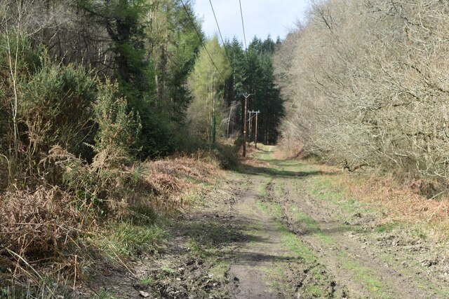
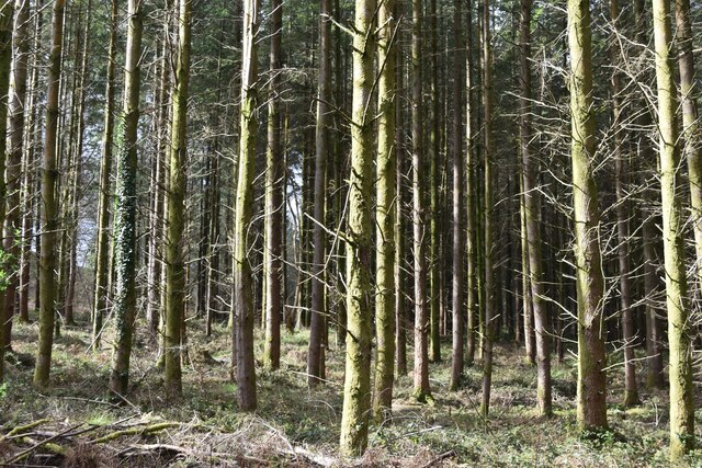
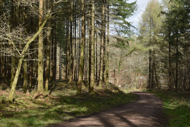
For those seeking outdoor activities, Bream's Meend has plenty to offer. The surrounding forest provides ample opportunities for hiking, mountain biking, and wildlife spotting. There are also several designated picnic areas and walking trails, allowing visitors to explore the area's natural beauty at their own pace.

Overall, Bream's Meend is a charming village nestled in the heart of Gloucestershire's countryside. With its rich history, picturesque landscapes, and outdoor activities, it is a destination that caters to both history buffs and nature enthusiasts.

If you have any feedback on the listing, please let us know in the comments section below.

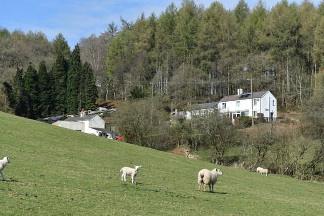
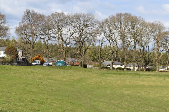
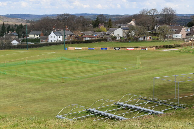
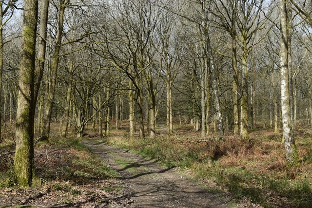
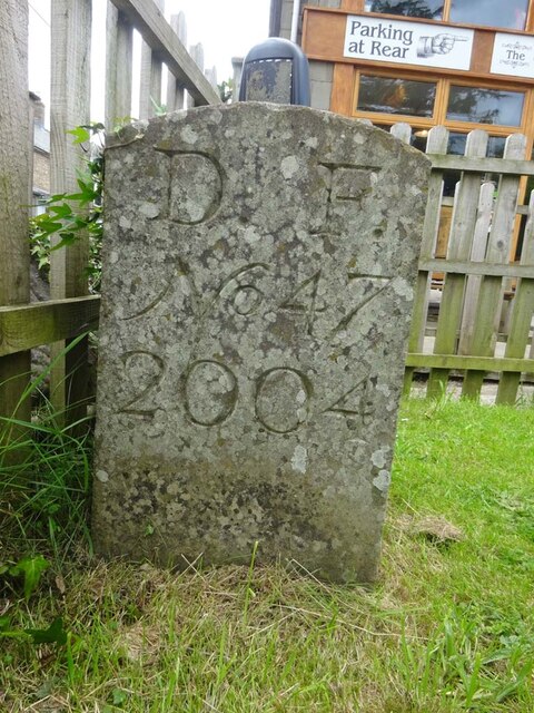
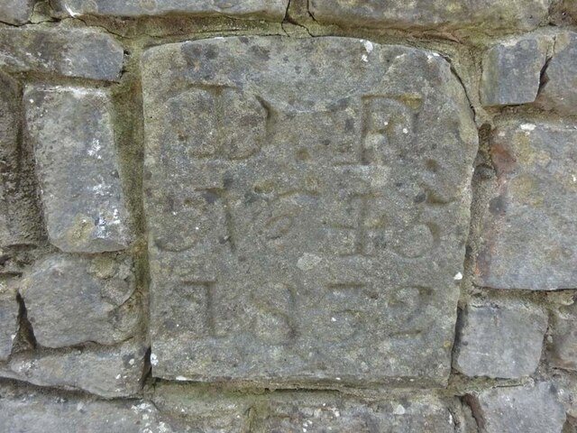
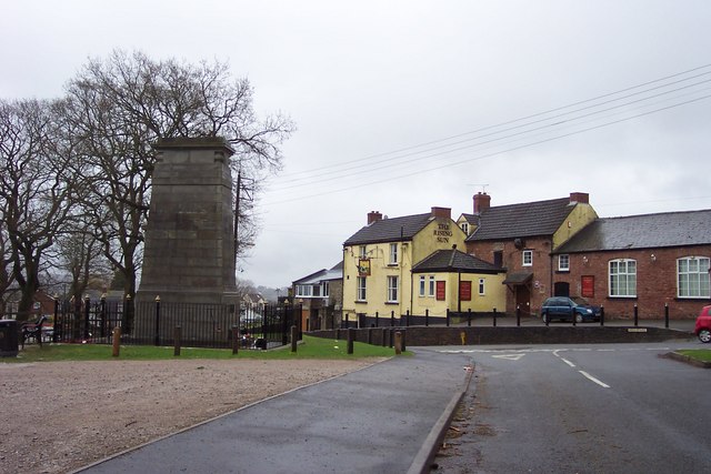
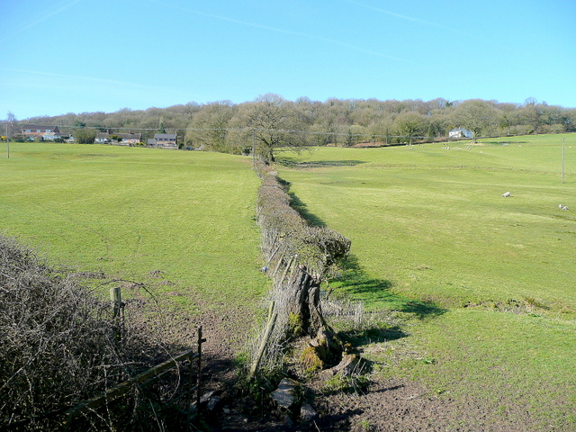
Bream's Meend Images

Images are sourced within 2km of 51.750481/-2.583467 or Grid Reference SO5905. Thanks to Geograph Open Source API. All images are credited.

St James’ Church Bream Sunday morning worshippers gathering outside the door.
St James’ Church Bream
Sunday morning worshippers gathering outside the door.
Wide verge beside Lyndsey Road
View over Pastor’s Hill, Bream
View over Whitecroft The station on the preserved Dean Forest Railway is in the centre of this image.
View over Whitecroft
The station on the preserved Dean Forest Railway is in the centre of this image.
Downhill view at Pastor’s Hill
Houses on hillside at Pastor’s Hill
House above lane on edge of Whitecroft Taken from the location of a former level crossing on a branch line to Princess Royal Colliery.
House above lane on edge of Whitecroft
Taken from the location of a former level crossing on a branch line to Princess Royal Colliery.
Sheep grazing on the verge beside Park Hill
Stream below Whitecroft Road Close to the site of the former Princess Royal Colliery.
Stream below Whitecroft Road
Close to the site of the former Princess Royal Colliery.
Grassy hillside below Cox's Way
Sports ground at Bream Seen from the Cenotaph.
Sports ground at Bream
Seen from the Cenotaph.
Woodland path at Parkend Walk
Forest track beside Dry Brook
View into woods at Parkend Walk
Forest tack at Parkend Walk
Boundary Stone, Bream In the minuscule front garden of Drywell Cottage, High Street. Opposite a coffee shop that has a companion Royal Forest of Dean BS <a href="https://www.geograph.org.uk/photo/7483936">SO6005 : Boundary Stone, Bream</a>, in the outdoor eating garden.

Inscription: D. F. / Nᴼ. 46 / 2004

Milestone Society National ID: GL_DFWDEA46em
Boundary Stone, Bream
In the minuscule front garden of Drywell Cottage, High Street. Opposite a coffee shop that has a companion Royal Forest of Dean BS SO6005 : Boundary Stone, Bream, in the outdoor eating garden. Inscription: D. F. / Nᴼ. 46 / 2004 Milestone Society National ID: GL_DFWDEA46em
Boundary Stone, Bream In the garden eating area of a coffee shop in the High Street, opposite another Royal Forest of Dean BS <a href="https://www.geograph.org.uk/photo/7483933">SO6005 : Boundary Stone, Bream</a>, in the minuscule front garden of Drywell Cottage.

Inscription: D. F. / Nᴼ. 47 / 2004

Milestone Society National ID: GL_DFWDEA47em
Boundary Stone, Bream
In the garden eating area of a coffee shop in the High Street, opposite another Royal Forest of Dean BS SO6005 : Boundary Stone, Bream, in the minuscule front garden of Drywell Cottage. Inscription: D. F. / Nᴼ. 47 / 2004 Milestone Society National ID: GL_DFWDEA47em
Boundary Stone, Bream Embedded in the retaining garden wall of "Windy Ridge", in the ramped approach to the "Rising Sun" pub, High Street.

Inscription: D. F. / Nᴼ. 45 / 1832

Milestone Society National ID: GL_DFWDEA45em
Boundary Stone, Bream
Embedded in the retaining garden wall of "Windy Ridge", in the ramped approach to the "Rising Sun" pub, High Street. Inscription: D. F. / Nᴼ. 45 / 1832 Milestone Society National ID: GL_DFWDEA45em
Show me another place!

Bream's Meend is located at Grid Ref: SO5905 (Lat: 51.750481, Lng: -2.583467)

Administrative County: Gloucestershire

District: Forest of Dean

Police Authority: Gloucestershire

What 3 Words

///today.shadows.acquaint. Near Bream, Gloucestershire

Nearby Locations

Bream's Meend

Related Wikis

Bream, Gloucestershire

Bream (historically known as Breem) is a village in the Forest of Dean, west Gloucestershire, England. The population was around 3,170 in the 2011 census...

West Dean, Gloucestershire

West Dean is a civil parish, situated in the Forest of Dean district of Gloucestershire, England. == History == The Forest of Dean was an extra-parochial...

Devil's Chapel Scowles

Devil's Chapel Scowles (grid reference SO606045) is a 44.79-hectare (110.7-acre) biological Site of Special Scientific Interest in Gloucestershire, notified...

Brockhollands

Brockhollands is a hamlet located in the Forest of Dean. It lies between the village of Bream and the town of Lydney in Gloucestershire. It is an obscure...

Whitecroft railway station

Whitecroft & Bream railway station is a railway station on the Dean Forest Railway. == History == The station originally opened on 23 September 1875, and...

Mary Rose Young

Mary Rose Young is a ceramic artist who lives and works in the Forest of Dean, Gloucestershire, in the UK. == Early life == Mary Rose Young was born near...

Whitecroft

Whitecroft is a village in the Forest of Dean in west Gloucestershire, England. It is located in-between Bream and Yorkley. Whitecroft comes under the...

Nagshead

Nagshead is a woodland reserve, located on the western edge of Parkend, in the Forest of Dean, Gloucestershire, and is home to RSPB Nagshead. The site...

Nearby Amenities

Located within 500m of 51.750481,-2.583467
Bream Meend
Is In: Gloucestershire, England, UK
Place: hamlet
Source: NPE
Lat/Long: 51.7503753/-2.5843186
Bus Stop
Sun Rise Rd
Naptan AtcoCode: 1600GL3255
Naptan Bearing: NW
Naptan CommonName: Sun Rise Rd
Naptan NaptanCode: gloagjam
Naptan Street: Oakwood Rd
Naptan Verified: no
Source: naptan_import
Lat/Long: 51.752907/-2.577971
Sun Rise Rd
Naptan AtcoCode: 1600GL3256
Naptan Bearing: SE
Naptan BusStopType: CUS
Naptan CommonName: Sun Rise Rd
Naptan Indicator: Opp
Naptan NaptanCode: gloagjap
Naptan Street: Oakwood Rd
Naptan Verified: no
Source: naptan_import
Lat/Long: 51.7529882/-2.577914
Bus Stop
New Rd
Bench: no
Bin: no
Lit: no
Naptan AtcoCode: 1600GL5871
Naptan Bearing: W
Naptan CommonName: New Rd
Naptan Indicator: Opp
Naptan NaptanCode: gloagdmd
Naptan Street: Coleford Rd
Naptan Verified: no
Shelter: no
Source: naptan_import
Tactile Paving: no
Lat/Long: 51.7485401/-2.5846655
Bus Stop
New Rd
Naptan AtcoCode: 1600GL5872
Naptan Bearing: E
Naptan CommonName: New Rd
Naptan NaptanCode: gloagdmg
Naptan Street: Coleford Rd
Naptan Verified: no
Source: naptan_import
Lat/Long: 51.7486138/-2.5843043
Bus Stop
Bream's Meend
Naptan AtcoCode: 1600GL633
Naptan Bearing: W
Naptan CommonName: Bream's Meend
Naptan Indicator: Opp
Naptan NaptanCode: gloagdtm
Naptan Street: New Rd
Naptan Verified: no
Source: naptan_import
Lat/Long: 51.7501174/-2.5802531
Bus Stop
Bream's Meend
Naptan AtcoCode: 1600GL634
Naptan Bearing: E
Naptan CommonName: Bream's Meend
Naptan NaptanCode: gloagdtj
Naptan Street: New Rd
Naptan Verified: no
Source: naptan_import
Lat/Long: 51.7501889/-2.5803555
Rugby Club
Naptan AtcoCode: 1600GL635
Naptan Bearing: S
Naptan BusStopType: CUS
Naptan CommonName: Rugby Club
Naptan Indicator: Opp
Naptan NaptanCode: gloagjdp
Naptan Street: High St
Naptan Verified: no
Source: naptan_import
Lat/Long: 51.7486217/-2.5772354
Rugby Club
Naptan AtcoCode: 1600GL636
Naptan Bearing: N
Naptan BusStopType: CUS
Naptan CommonName: Rugby Club
Naptan NaptanCode: gloagjdt
Naptan Street: High St
Naptan Verified: no
Source: naptan_import
Lat/Long: 51.7488016/-2.5772377
Bus Stop
Oakwood Mill
Naptan AtcoCode: 1600GLF303
Naptan Bearing: NW
Naptan CommonName: Oakwood Mill
Naptan NaptanCode: gloagdtd
Naptan Street: Clements End Rd
Naptan Verified: no
Source: naptan_import
Lat/Long: 51.7545108/-2.5809469
Oakwood Mill
Naptan AtcoCode: 1600GLF304
Naptan Bearing: SE
Naptan BusStopType: CUS
Naptan CommonName: Oakwood Mill
Naptan Indicator: Opp
Naptan NaptanCode: gloagdtg
Naptan Street: Clements End Rd
Naptan Verified: no
Source: naptan_import
Lat/Long: 51.7544397/-2.5807866
Bus Stop
Bream Court Farm
Bench: no
Bin: no
Lit: no
Naptan AtcoCode: 1600GLF327
Naptan Bearing: NW
Naptan CommonName: Bream Court Farm
Naptan Indicator: Opp
Naptan NaptanCode: gloagdta
Naptan Street: Coleford Rd
Naptan Verified: no
Shelter: no
Source: naptan_import
Tactile Paving: no
Lat/Long: 51.7473588/-2.5817243
Bus Stop
Bream Court Farm
Bench: no
Bin: no
Lit: no
Naptan AtcoCode: 1600GLF328
Naptan Bearing: SE
Naptan CommonName: Bream Court Farm
Naptan NaptanCode: gloagdpt
Naptan Street: Coleford Rd
Naptan Verified: no
Shelter: no
Source: naptan_import
Tactile Paving: no
Lat/Long: 51.7476634/-2.5819455
Horwell Hill
Place: locality
Source: OS_OpenData_StreetView
Lat/Long: 51.7530185/-2.5873131
Leisure: sports_centre
Lat/Long: 51.7491296/-2.5798944
Bream Cenotaph
Historic: memorial
Memorial: war_memorial
Lat/Long: 51.7498191/-2.5763683
Post Box
Post Box Design: hovis
Post Box Mounting: wall
Post Box Type: lamp
Ref: GL15 85
Royal Cypher: GR
Royal Cypher Wikidata: Q33102273
Lat/Long: 51.752935/-2.5780859
Cafe
The Coffee Shop
Lat/Long: 51.7493926/-2.5767219
Power: pole
Lat/Long: 51.75226/-2.5845337
Power: pole
Lat/Long: 51.751541/-2.5857286
Power: pole
Lat/Long: 51.7499112/-2.5854698
Power: pole
Lat/Long: 51.7497784/-2.586709
Power: pole
Lat/Long: 51.7469247/-2.5872119
Power: pole
Lat/Long: 51.7478712/-2.5871529
Power: pole
Lat/Long: 51.7487239/-2.5871046
Power: pole
Lat/Long: 51.7479543/-2.5874385
Power: pole
Lat/Long: 51.7497302/-2.5872414
Power: pole
Lat/Long: 51.7506518/-2.5871354
Power: pole
Lat/Long: 51.7512114/-2.5863107
Power: pole
Lat/Long: 51.7497095/-2.5870523
Power: pole
Lat/Long: 51.7506319/-2.5870147
Power: pole
Lat/Long: 51.7514688/-2.5856428
Power: pole
Lat/Long: 51.7523273/-2.584236
Power: pole
Lat/Long: 51.753166/-2.5828153
Location Transition: yes
Power: pole
Lat/Long: 51.7533833/-2.5818032
Location Transition: yes
Power: pole
Lat/Long: 51.7540458/-2.5803508
Generator Method: photovoltaic
Generator Output Electricity: yes
Generator Source: solar
Generator Type: solar_photovoltaic_panel
Location: roof
Power: generator
Lat/Long: 51.7481527/-2.582227
Generator Method: photovoltaic
Generator Output Electricity: yes
Generator Source: solar
Generator Type: solar_photovoltaic_panel
Location: roof
Power: generator
Lat/Long: 51.7496854/-2.582463
Generator Method: photovoltaic
Generator Output Electricity: yes
Generator Source: solar
Generator Type: solar_photovoltaic_panel
Location: roof
Power: generator
Lat/Long: 51.7507473/-2.5812614
Generator Method: photovoltaic
Generator Output Electricity: yes
Generator Source: solar
Generator Type: solar_photovoltaic_panel
Location: roof
Power: generator
Lat/Long: 51.7500848/-2.5799458
Generator Method: photovoltaic
Generator Output Electricity: yes
Generator Source: solar
Generator Type: solar_photovoltaic_panel
Location: roof
Power: generator
Lat/Long: 51.7516681/-2.5775492
Generator Method: photovoltaic
Generator Output Electricity: yes
Generator Source: solar
Generator Type: solar_photovoltaic_panel
Location: roof
Power: generator
Lat/Long: 51.7517278/-2.5774527
Generator Method: photovoltaic
Generator Output Electricity: yes
Generator Source: solar
Generator Type: solar_photovoltaic_panel
Location: roof
Power: generator
Lat/Long: 51.7516465/-2.5767741
Generator Method: photovoltaic
Generator Output Electricity: yes
Generator Source: solar
Generator Type: solar_photovoltaic_panel
Location: roof
Power: generator
Lat/Long: 51.7519005/-2.5768036
Booth: K6
Covered: booth
Disused Amenity: telephone
Man Made: telephone_box
Lat/Long: 51.7532872/-2.5783692
Barrier: stile
Lat/Long: 51.7507763/-2.578147
Knockly Dog Foods
Shop: pet
Wheelchair: limited
Lat/Long: 51.7484645/-2.5829548
Court Farm Country Store
Comment: Not sure about the correct shop type. it sells animal feed but also country-style clothes
Shop: agrarian
Wheelchair: limited
Lat/Long: 51.7485214/-2.5830048
The data included in this document is from www.openstreetmap.org. The data is made available under ODbL.

Have you been to Bream's Meend?

Leave your review of Bream's Meend below (or comments, questions and feedback).