Brealeys

Settlement in Devon Torridge

England

Brealeys

Bridge, crossing Beaford Brook
Bridge, crossing Beaford Brook Credit: Roger Cornfoot

Brealeys is a small village located in the county of Devon, England. Situated in the South West of the country, it falls within the administrative district of Mid Devon. With a population of around 300 residents, Brealeys is a close-knit community that offers a peaceful and idyllic rural lifestyle.

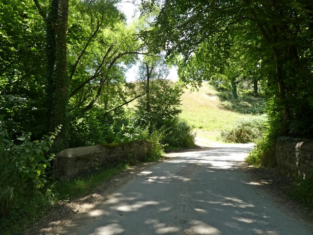
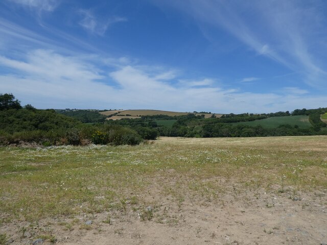
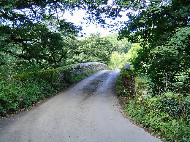
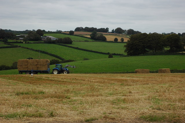
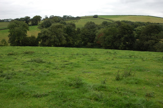
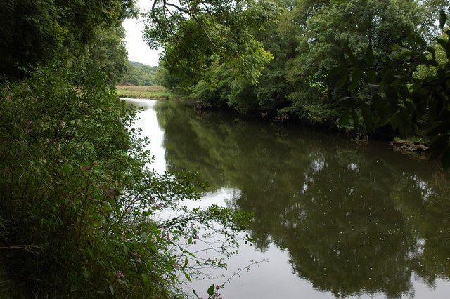
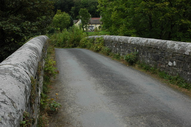
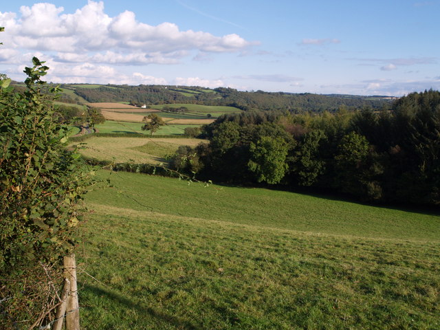
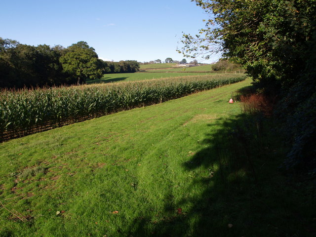
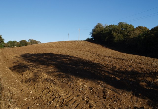
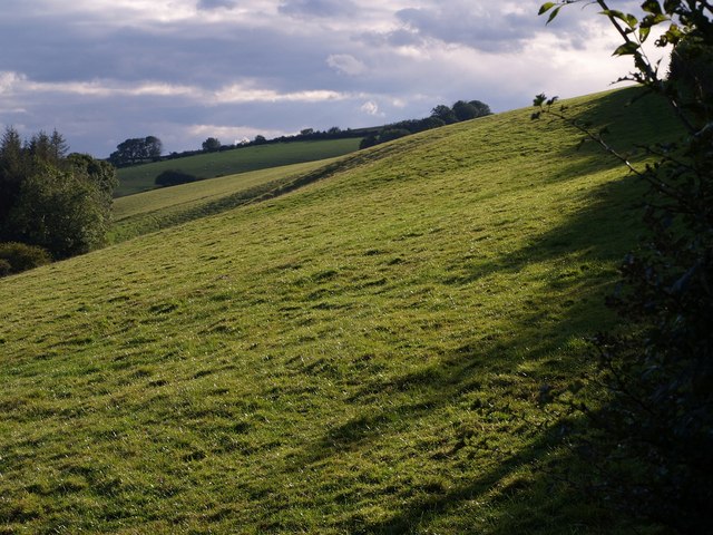
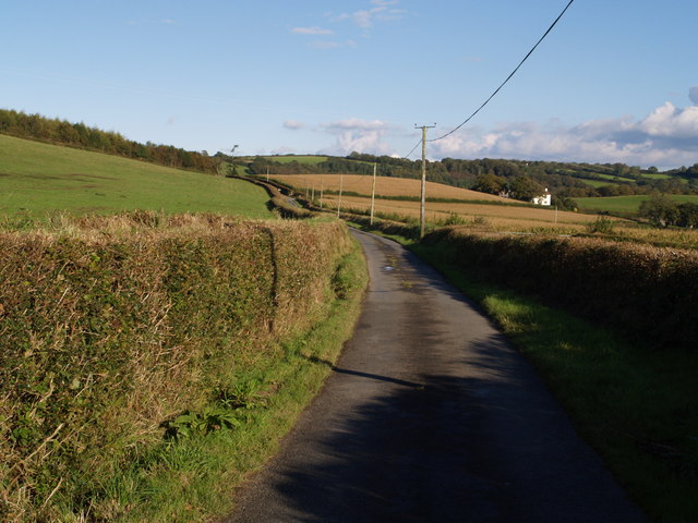
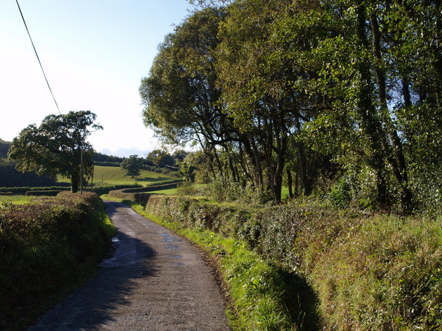
The village is characterized by its picturesque countryside surroundings, featuring rolling hills, lush green fields, and charming country lanes. It is situated in close proximity to the River Exe, providing residents with access to beautiful riverside walks and opportunities for fishing.

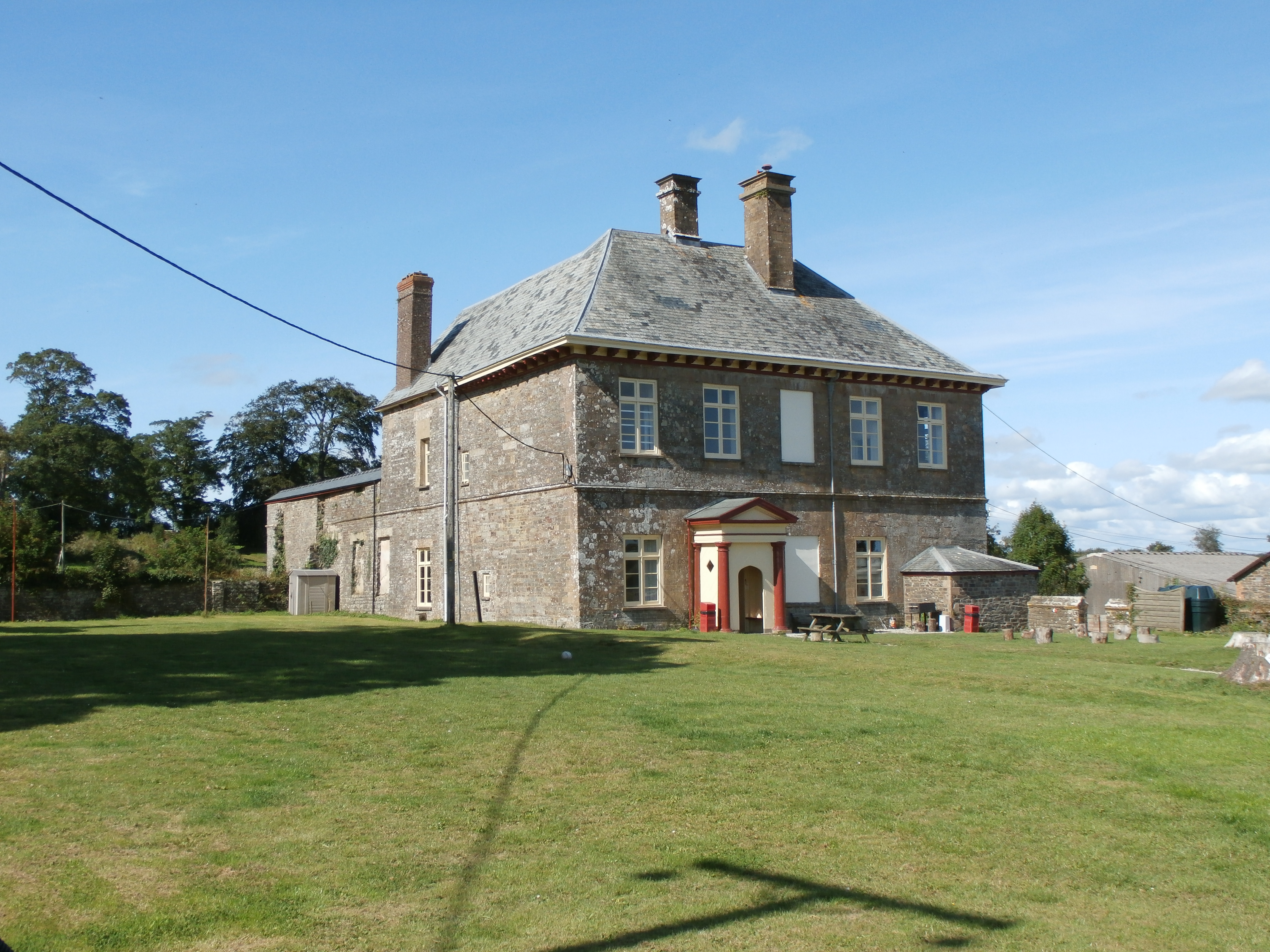
Brealeys is known for its rich history, with evidence of human habitation in the area dating back to the Iron Age. The village itself has a quaint and traditional feel, with many of its buildings reflecting the architectural styles of the past. The local church, St. Mary's, is a prominent landmark and a hub for community gatherings and events.

While Brealeys is primarily a residential area, there are a few amenities available to its residents. These include a small village shop, offering basic necessities, and a quaint pub where locals can gather and socialize.

The village is located a short distance from larger towns and cities, such as Tiverton and Exeter, providing residents with access to a wider range of amenities and services. The surrounding countryside also offers opportunities for outdoor activities, including hiking, cycling, and horse riding.

Overall, Brealeys, Devon is a charming and tranquil village, perfect for those seeking a peaceful rural lifestyle amidst picturesque surroundings.

If you have any feedback on the listing, please let us know in the comments section below.
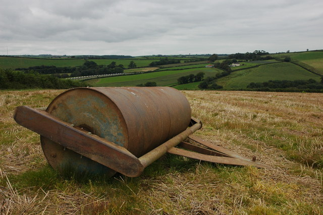
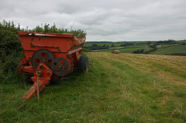
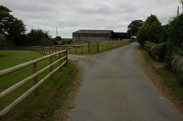
Brealeys Images

Images are sourced within 2km of 50.915944/-4.0783263 or Grid Reference SS5415. Thanks to Geograph Open Source API. All images are credited.

Bridge, crossing Beaford Brook
Dry farmland, at Middle Barlington
Beaford Bridge A quiet bridge over the River Torridge.
Beaford Bridge
A quiet bridge over the River Torridge.
Roping up the load A farmer, with his dog in attendance, ropes a trailer load of straw in a field to the north-west of Beaford.
Roping up the load
A farmer, with his dog in attendance, ropes a trailer load of straw in a field to the north-west of Beaford.
View to Lower Whitsleigh The Woolleigh Brook flows through the bottom of this valley. A footpath crosses to the bottom corner of the field and then follows a very overgrown track up to Lower Whitsleigh on the other side of the valley.
View to Lower Whitsleigh
The Woolleigh Brook flows through the bottom of this valley. A footpath crosses to the bottom corner of the field and then follows a very overgrown track up to Lower Whitsleigh on the other side of the valley.
Large farm roll near Ramscliffe Farm Farm roll by a footpath through a stubble field near Ramscliffe Farm. Whitsley Barton is on the hill top across the valley in the background.
Large farm roll near Ramscliffe Farm
Farm roll by a footpath through a stubble field near Ramscliffe Farm. Whitsley Barton is on the hill top across the valley in the background.
Neglected muck spreader A muck spreader is left on the side of a field near Ramscliffe Farm and has weeds growing in it.
Neglected muck spreader
A muck spreader is left on the side of a field near Ramscliffe Farm and has weeds growing in it.
Farm buildings at Brealeys A footpath follows the driveway on the left.
Farm buildings at Brealeys
A footpath follows the driveway on the left.
Beaford Garage Many garages such as this one in the village of Beaford are closed though this one appears to be still trading.
Beaford Garage
Many garages such as this one in the village of Beaford are closed though this one appears to be still trading.
The River Torridge near Beaford The River Torridge passing Beaford Wood to the south-west of the village of Beaford.
The River Torridge near Beaford
The River Torridge passing Beaford Wood to the south-west of the village of Beaford.
Beaford Bridge and Beaford Mill Beaford Bridge crosses the river Torridge. The picturesque Beaford Mills can be seen in the background.
Beaford Bridge and Beaford Mill
Beaford Bridge crosses the river Torridge. The picturesque Beaford Mills can be seen in the background.
Alpacas at Towell Farm, Beaford
Hillies Wood The view from a gateway near Whiteland Head. A rather small stream occupying quite a broad valley emerges from the wood. The lane to Balls Corner Cross  continues, on the left, into SS5413 - photos <a href="https://www.geograph.org.uk/photo/570031">SS5413 : Countryside near Balls</a>, <a href="https://www.geograph.org.uk/photo/569969">SS5413 : Balls</a> and <a href="https://www.geograph.org.uk/photo/569981">SS5413 : Lane to  Whiteland Head</a> were all taken from where the lane goes out of sight.
Hillies Wood
The view from a gateway near Whiteland Head. A rather small stream occupying quite a broad valley emerges from the wood. The lane to Balls Corner Cross continues, on the left, into SS5413 - photos SS5413 : Countryside near Balls, SS5413 : Balls and SS5413 : Lane to Whiteland Head were all taken from where the lane goes out of sight.
Maize field by the Torridge The river, flowing in a deep incised meander, is just some 10 metres through the trees on the left. To the right is the edge of Poundcleave Wood. The farm in the distance is Yeory.
Maize field by the Torridge
The river, flowing in a deep incised meander, is just some 10 metres through the trees on the left. To the right is the edge of Poundcleave Wood. The farm in the distance is Yeory.
Ploughed field at Abbot's Hill A field on the slopes of the Torridge valley, occupying part of a narrow ridge between large incised meanders of the river. Abbot's Hill Wood, to the right, plunges 60 metres to the river.
Ploughed field at Abbot's Hill
A field on the slopes of the Torridge valley, occupying part of a narrow ridge between large incised meanders of the river. Abbot's Hill Wood, to the right, plunges 60 metres to the river.
Field at Whiteland Head From the same gateway as <a href="https://www.geograph.org.uk/photo/568070">SS5313 : Hillies Wood</a>, a view of a steep field above Hillies Wood.
Field at Whiteland Head
From the same gateway as SS5313 : Hillies Wood, a view of a steep field above Hillies Wood.
Balls Balls is the white farm across the fields. The lane is leading from Whiteland Head to Balls Corner Cross.
Balls
Balls is the white farm across the fields. The lane is leading from Whiteland Head to Balls Corner Cross.
Lane to  Whiteland Head Looking in the opposite direction from close to the spot where <a href="https://www.geograph.org.uk/photo/569969">SS5413 : Balls</a> was taken. The lane is about to cross a gridline; the tree on the left is just inside SS5313.
Lane to Whiteland Head
Looking in the opposite direction from close to the spot where SS5413 : Balls was taken. The lane is about to cross a gridline; the tree on the left is just inside SS5313.
Show me another place!

Brealeys is located at Grid Ref: SS5415 (Lat: 50.915944, Lng: -4.0783263)

Administrative County: Devon

District: Torridge

Police Authority: Devon and Cornwall

What 3 Words

///helped.boom.frightens. Near Great Torrington, Devon

Nearby Locations

Brealeys Abbot's Hill

Related Wikis

Brealeys

Brealeys is a village in Devon, England. == References == == External links == Media related to Brealeys at Wikimedia Commons
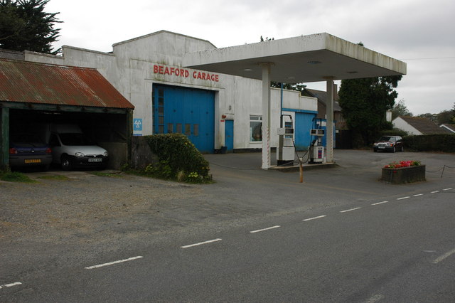
Beaford

Beaford is a village and civil parish in the Torridge district of Devon, England. The village is about five miles south-east of Great Torrington, on the...

Potheridge

Potheridge (alias Great Potheridge, Poderigge, Poderidge or Powdrich) is a former Domesday Book estate in the parish of Merton, in the historic hundred...

Barometer World

Barometer World was the world's only barometer museum, and was located in the village of Merton, near Great Torrington, Devon, England. Barometer World...

Merton, Devon

Merton is a village, ecclesiastical parish, former manor and civil parish administered by the local government district of Torridge, Devon, England. The...

Huish, Torridge

Huish (anciently Hiwis) is a small village, civil parish and former manor in the Torridge district of Devon, England. The eastern boundary of the parish...

Dunsbear Halt railway station

Dunsbear Halt was a relatively well-used halt on the initially privately run North Devon and Cornwall Junction Light Railway. Opened in 1925 and closed...

St Giles in the Wood

St Giles in the Wood is a village and civil parish in the Torridge district of Devon, England. The village lies about 2.5 miles east of the town of Great...

Nearby Amenities

Located within 500m of 50.915944,-4.0783263
Turning Circle
Lat/Long: 50.9175115/-4.0753307
The data included in this document is from www.openstreetmap.org. The data is made available under ODbL.

Have you been to Brealeys?

Leave your review of Brealeys below (or comments, questions and feedback).