Wootton
Settlement in Shropshire
England
Wootton

Wootton is a small village located in the county of Shropshire, England. Situated approximately 5 miles southeast of the market town of Bridgnorth, Wootton is nestled in the picturesque countryside of the Severn Valley. It is part of the civil parish of Worfield.
The village is known for its charming and idyllic setting, with rolling hills, lush green fields, and a tranquil atmosphere. Wootton is surrounded by beautiful natural landscapes, making it a popular destination for nature lovers and hikers.
The village itself is small in size, with a population of around 500 residents. It features a mix of traditional architecture, including quaint cottages and country houses. The local community is close-knit, and there is a strong sense of community spirit among the villagers.
Wootton boasts a few amenities for its residents and visitors. These include a village hall, a local pub, and a small church. The village hall serves as a hub for various community events and activities, such as social gatherings, clubs, and fundraisers.
Despite its rural location, Wootton benefits from good transportation links. The village is easily accessible by road, with the A454 running nearby, connecting it to Bridgnorth and other nearby towns. Public transportation options are also available, with regular bus services serving the area.
Overall, Wootton offers a peaceful and picturesque setting for those seeking a rural retreat. Its natural beauty, community spirit, and convenient location make it an attractive place to live or visit in Shropshire.
If you have any feedback on the listing, please let us know in the comments section below.
Wootton Images
Images are sourced within 2km of 52.400413/-2.801451 or Grid Reference SO4578. Thanks to Geograph Open Source API. All images are credited.


Wootton is located at Grid Ref: SO4578 (Lat: 52.400413, Lng: -2.801451)
Unitary Authority: Shropshire
Police Authority: West Mercia
What 3 Words
///resort.drift.twitching. Near Bromfield, Shropshire
Related Wikis

Onibury
Onibury is a village and civil parish on the River Onny in southern Shropshire, about 4 miles (6.4 km) northwest of the market town of Ludlow. The parish...
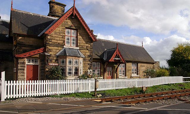
Onibury railway station
Onibury railway station was a station in Onibury, Shropshire, England. The station was opened in 1852 and closed in 1958. == See also == Listed buildings...

Stokesay Court
Stokesay Court is a country house and estate in the parish of Onibury (but named after Stokesay) in Shropshire, England. Described by John Newman, in the...

Ferney Hall
Ferney Hall is a mid-Victorian-era mansion house situated at Onibury, Shropshire, England. It is a Grade II listed building. The hall is listed Grade II...
Nearby Amenities
Located within 500m of 52.400413,-2.801451Have you been to Wootton?
Leave your review of Wootton below (or comments, questions and feedback).