Wootton

Settlement in Staffordshire Stafford

England

Wootton

Fire station at Eccleshall Eccleshall's fire station on the west side of Newport Road, the A519. The 'public space' or garden over which it's viewed has trimmed bushes, perhaps of laurel.
Fire station at Eccleshall Credit: Trevor Littlewood

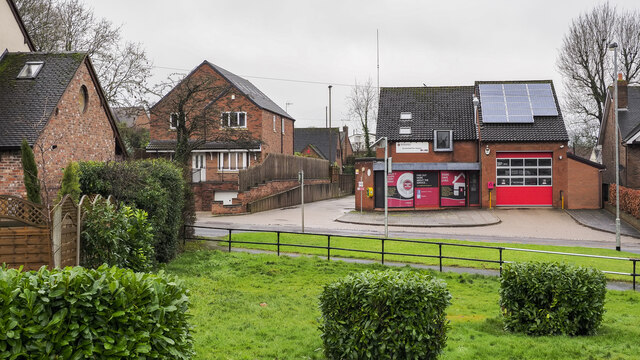
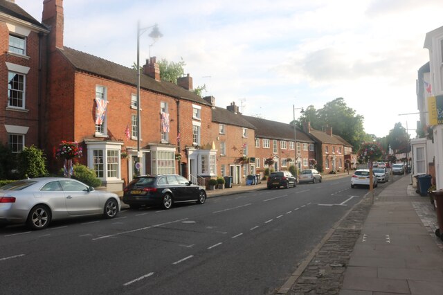
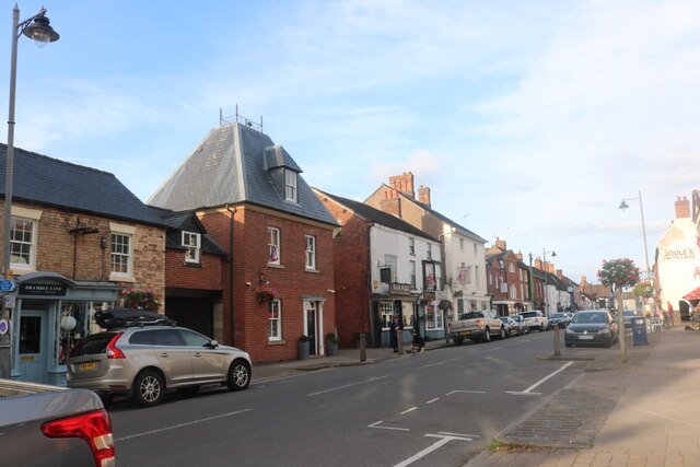
Wootton is a small village located in the county of Staffordshire, England. Situated approximately 8 miles northwest of Stafford, it is nestled in the picturesque countryside of the West Midlands. With a population of around 500 residents, Wootton exudes a peaceful and close-knit community atmosphere.

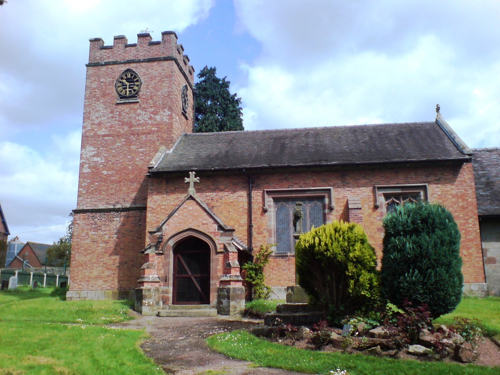
The village is characterized by its charming traditional architecture, with many historic buildings dating back to the 17th and 18th centuries. The centerpiece of Wootton is the St. Margaret's Church, a beautiful Grade II listed building that dates back to the 12th century. The church's striking spire and stained glass windows are a testament to the village's rich history.

Wootton is surrounded by rolling green hills and scenic countryside, making it an ideal location for outdoor enthusiasts. The village is located near the Cannock Chase Area of Outstanding Natural Beauty, offering residents and visitors ample opportunities for hiking, cycling, and wildlife spotting.

Despite its small size, Wootton boasts a vibrant community spirit. The village has a primary school, ensuring that young families are well catered for. Additionally, there is a local pub, The Red Lion, where villagers and visitors can enjoy traditional British cuisine and socialize.

Wootton's proximity to Stafford provides residents with convenient access to a wider range of amenities, including shopping centers, healthcare facilities, and educational institutions.

Overall, Wootton's picturesque setting, historical charm, and strong sense of community make it an attractive location for those seeking a tranquil village lifestyle within easy reach of urban amenities.

If you have any feedback on the listing, please let us know in the comments section below.
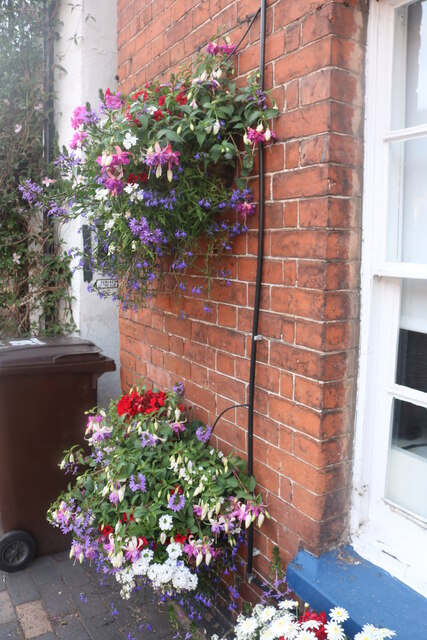
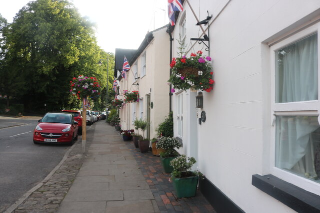
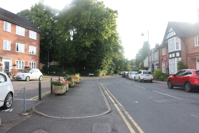
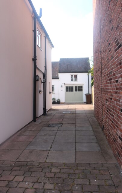
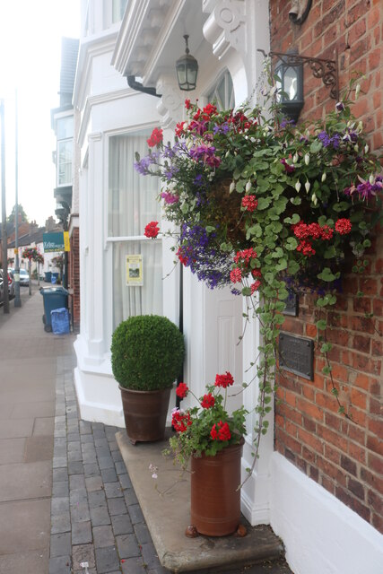
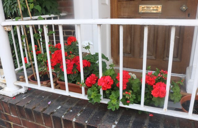
Wootton Images

Images are sourced within 2km of 52.84401/-2.2603141 or Grid Reference SJ8227. Thanks to Geograph Open Source API. All images are credited.

Fire station at Eccleshall Eccleshall's fire station on the west side of Newport Road, the A519. The 'public space' or garden over which it's viewed has trimmed bushes, perhaps of laurel.
Fire station at Eccleshall
Eccleshall's fire station on the west side of Newport Road, the A519. The 'public space' or garden over which it's viewed has trimmed bushes, perhaps of laurel.
Edge and Goodrich estate agents on High Street, Eccleshall
High Street, Eccleshall
The Little George, Eccleshall
The last house in Eccleshall No doubt in a few years the next field along may become residential, as so many are.
The last house in Eccleshall
No doubt in a few years the next field along may become residential, as so many are.
Poppies by Stafford Road, Eccleshall
Eccleshall in bloom Eccleshall in bloom provides flowers for the town every summer including over 60 hanging baskets. <span class="nowrap"><a title="http://eccleshallguide.org/inbloom.html" rel="nofollow ugc noopener" href="http://eccleshallguide.org/inbloom.html">Link</a><img style="margin-left:2px;" alt="External link" title="External link - shift click to open in new window" src="https://s1.geograph.org.uk/img/external.png" width="10" height="10"/></span>
Eccleshall in bloom
Eccleshall in bloom provides flowers for the town every summer including over 60 hanging baskets. LinkExternal link
Eccleshall in bloom Flower displays are provided every summer by the local group.
Eccleshall in bloom
Flower displays are provided every summer by the local group.
Eccleshall in bloom Over 60 hanging baskets and other arrangements are provided locally every summer.
Eccleshall in bloom
Over 60 hanging baskets and other arrangements are provided locally every summer.
High Street, Eccleshall The flowers are provided every summer by Eccleshall in Bloom. <span class="nowrap"><a title="http://eccleshallguide.org/inbloom.html" rel="nofollow ugc noopener" href="http://eccleshallguide.org/inbloom.html">Link</a><img style="margin-left:2px;" alt="External link" title="External link - shift click to open in new window" src="https://s1.geograph.org.uk/img/external.png" width="10" height="10"/></span>
High Street, Eccleshall
The flowers are provided every summer by Eccleshall in Bloom. LinkExternal link
High Street, Eccleshall
Passageway off High Street, Eccleshall
Eccleshall in bloom
Eccleshall in bloom
Geraniums on High Street, Eccleshall I've been told to call them pelargoniums but who would recognise them?
Geraniums on High Street, Eccleshall
I've been told to call them pelargoniums but who would recognise them?
High Street, Eccleshall
Milepost beside A519 south of Eccleshall Despite its look of antiquity the milepost cast presumably in iron, was made as recently as 2008. In addition to the various locations and distances given on its two faces, the top has the wording, Eccleshall Parish.
Milepost beside A519 south of Eccleshall
Despite its look of antiquity the milepost cast presumably in iron, was made as recently as 2008. In addition to the various locations and distances given on its two faces, the top has the wording, Eccleshall Parish.
Show me another place!

Wootton is located at Grid Ref: SJ8227 (Lat: 52.84401, Lng: -2.2603141)

Administrative County: Staffordshire

District: Stafford

Police Authority: Staffordshire

What 3 Words

///consoled.tightest.weeps. Near Eccleshall, Staffordshire

Nearby Locations

Wootton Large Covert

Related Wikis

Eagle House, Eccleshall

Eagle House is a Grade II listed building in the Staffordshire town of Eccleshall, England, which is currently an award winning bed and breakfast. ��2...

Holy Trinity Church, Eccleshall

Holy Trinity Church in Eccleshall, Staffordshire, England, is a Grade I listed Anglican church. The building dates mostly from the 13th century, and there...

Eccleshall

Eccleshall () is a town and civil parish in the Stafford district, in the county of Staffordshire, England. It is located seven miles northwest of Stafford...

Eccleshall Castle

Eccleshall Castle is located in Eccleshall, Staffordshire, England (grid reference SJ827295). It was originally built in the 13th century. It is a Scheduled...

Copmere End

Copmere End is a small settlement in Staffordshire, England. It is 2 kilometres (1 mi) west of Eccleshall where the population taken for the 2011 census...

Ellenhall

Ellenhall is a small Staffordshire village roughly 2.5 miles south of Eccleshall originally comprising part of the extensive estates of the Earl of Lichfield...

Walton Hall Academy

Walton Hall Academy (formerly Walton Hall Community Special School) is a mixed special school of approximately 150 pupils. The school is based in Eccleshall...

Knightley, Staffordshire

Knightley is a hamlet and former manor in Staffordshire, England. It is situated near the villages of Gnosall and Woodseaves, now on the B5405 road. There...

Nearby Amenities

Located within 500m of 52.84401,-2.2603141
Bus Stop
Wincote Lane
Naptan AtcoCode: 3800C708001
Naptan Bearing: NE
Naptan CommonName: Wincote Lane
Naptan Indicator: Adj
Naptan Landmark: Wincote Lane
Naptan Street: Newport Road
Naptan Verified: no
Source: naptan_import
Lat/Long: 52.8431383/-2.2577748
Bus Stop
Wincote Lane
Naptan AtcoCode: 3800C708002
Naptan Bearing: SW
Naptan BusStopType: CUS
Naptan CommonName: Wincote Lane
Naptan Indicator: Opp
Naptan Landmark: Wincote Lane
Naptan Street: Newport Road
Naptan Verified: no
Source: naptan_import
Lat/Long: 52.843337/-2.2573157
Wootton
Place: hamlet
Lat/Long: 52.8437583/-2.2563769
Post Box
Brand: Royal Mail
Brand Wikidata: Q638098
Mapillary: 1557628591319068
Operator: Royal Mail
Operator Wikidata: Q638098
Post Box Mounting: pier
Post Box Type: lamp
Ref: ST21 2100
Survey Date: 2022-09-08
Lat/Long: 52.8441927/-2.2570954
The data included in this document is from www.openstreetmap.org. The data is made available under ODbL.

Have you been to Wootton?

Leave your review of Wootton below (or comments, questions and feedback).