Breachwood Green

Settlement in Hertfordshire North Hertfordshire

England

Breachwood Green

King's Walden Church This church is on the edge of parkland.  It is a large church serving dispersed settlements rather than a village.
King's Walden Church Credit: Humphrey Bolton

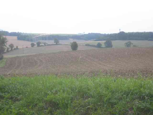
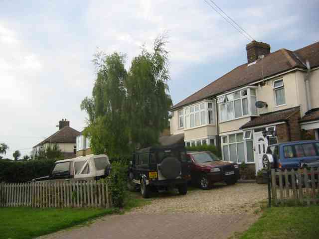
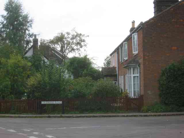
Breachwood Green is a small village located in the county of Hertfordshire, England. Situated approximately 7 miles north of the town of Harpenden, it falls within the Central Bedfordshire district. The village is nestled amidst picturesque countryside and is surrounded by fields and woodland, offering a serene and tranquil environment.

With a population of around 500 residents, Breachwood Green maintains a tight-knit community atmosphere. The village features a mix of traditional and modern architecture, including charming thatched cottages and contemporary homes. It is known for its quintessential English village charm, with a village green at its center, complete with a historic cricket pitch.

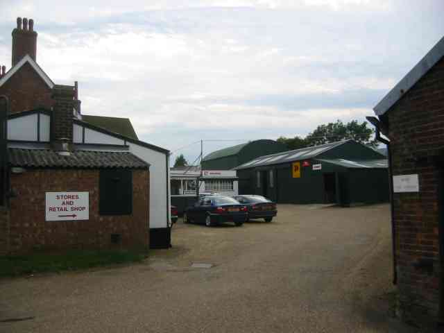
Amenities in Breachwood Green include a local pub, The Red Lion, which serves as a popular meeting place for locals and visitors alike. The village also has a primary school, providing education for children in the area.

The village is surrounded by beautiful countryside, making it an ideal location for outdoor activities such as walking, cycling, and horse riding. The nearby Breachwood Green Common offers ample green space for recreational purposes, including a children's play area.

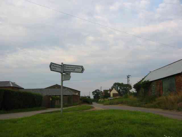
Transport links in Breachwood Green are limited, with the village being served by a few bus routes connecting it to neighboring towns and villages. However, it is conveniently located within easy reach of major road networks, including the A1(M), M1, and M25, providing easy access to nearby towns and cities.

Overall, Breachwood Green offers a peaceful and idyllic rural setting, perfect for those seeking a slower pace of life and a close-knit community.

If you have any feedback on the listing, please let us know in the comments section below.

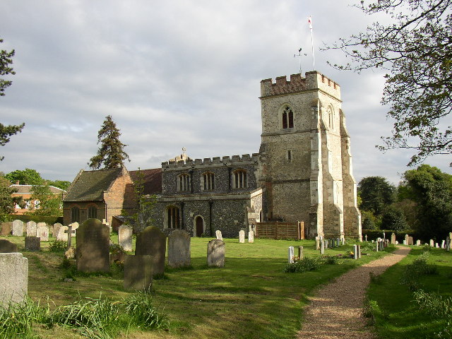
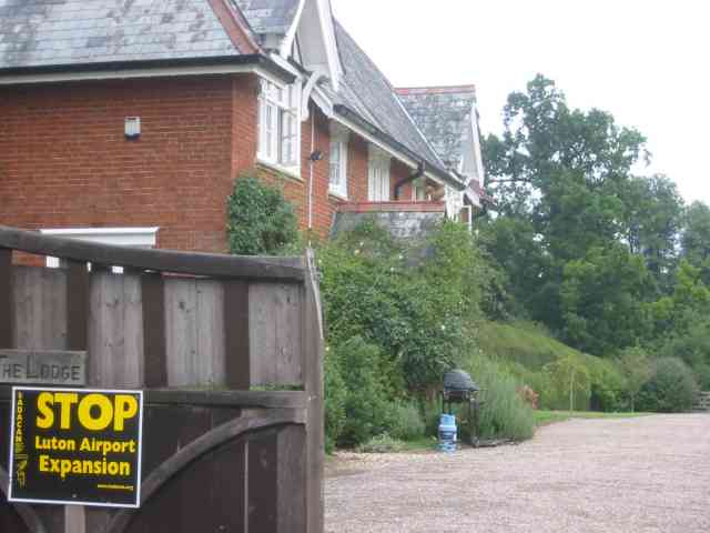
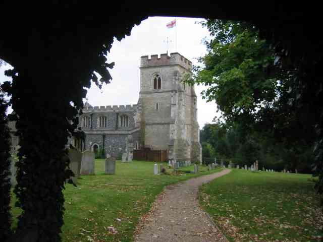
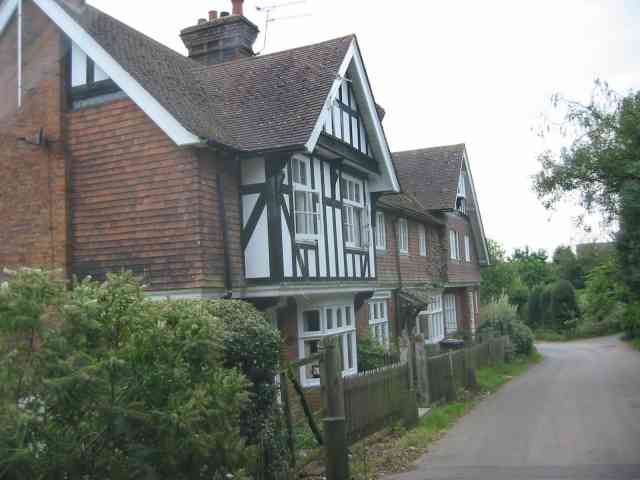
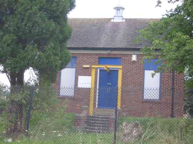
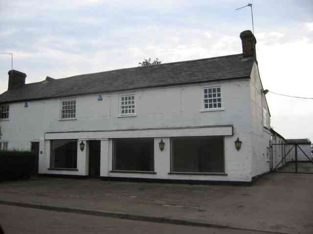
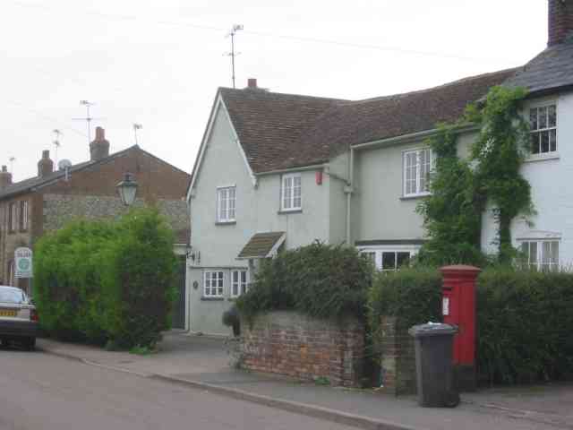
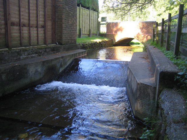
Breachwood Green Images

Images are sourced within 2km of 51.883803/-0.326919 or Grid Reference TL1521. Thanks to Geograph Open Source API. All images are credited.

King's Walden Church This church is on the edge of parkland.  It is a large church serving dispersed settlements rather than a village.
King's Walden Church
This church is on the edge of parkland. It is a large church serving dispersed settlements rather than a village.
Wandon Green Farm The farmhouse looks quite well kept.
Wandon Green Farm
The farmhouse looks quite well kept.
Wandon Green Farm The yard looks to be unused but that is simply a surmise. It was Sunday after all.
Wandon Green Farm
The yard looks to be unused but that is simply a surmise. It was Sunday after all.
House in Church Rd Kings Walden The protest regarding Luton airport is recorded for 
posterity?
House in Church Rd Kings Walden
The protest regarding Luton airport is recorded for posterity?
King's Walden Church The lych gate scene was too good to miss.
King's Walden Church
The lych gate scene was too good to miss.
Houses on Church Road King's Walden They have a solid Edwardian ambience.
Houses on Church Road King's Walden
They have a solid Edwardian ambience.
Pumping Station at King's Walden This design has a sorry look about it
Pumping Station at King's Walden
This design has a sorry look about it
Empty showrooms at Breachwood  Green Was this once a car sales emporium?
Yes it used to sell SAAB cars.
Empty showrooms at Breachwood Green
Was this once a car sales emporium? Yes it used to sell SAAB cars.
House next door to the showrooms House and showrooms <a title="https://www.geograph.org.uk/photo/47777" href="https://www.geograph.org.uk/photo/47777">Link</a> would seem to have a relationship of owner perhaps.
House next door to the showrooms
House and showrooms Link would seem to have a relationship of owner perhaps.
End of runway lights seen from Lye Hill Breachwood Green At least the planes are on the landing approach so are relatively quiet.
End of runway lights seen from Lye Hill Breachwood Green
At least the planes are on the landing approach so are relatively quiet.
Houses in Lye Hill  Breachwood Green These houses look as if they were once local authority owned before the right to purchase was introduced. They are right in line for the airport approach.
Houses in Lye Hill Breachwood Green
These houses look as if they were once local authority owned before the right to purchase was introduced. They are right in line for the airport approach.
Buildings at Winch Hill Farm The farmyard appears unused
Buildings at Winch Hill Farm
The farmyard appears unused
Farm Machinery depot at Wandon End Parked cars means that there are people inside the buildings.
Farm Machinery depot at Wandon End
Parked cars means that there are people inside the buildings.
Farm Machinery depot at Wandon End The front loader scoops and the Cambridge roll further into the yard confirm that this is a depot for agricultural machinery.
Farm Machinery depot at Wandon End
The front loader scoops and the Cambridge roll further into the yard confirm that this is a depot for agricultural machinery.
T-junction south of Tea Green The building on the right is called "The Smithy" but is now closed.
T-junction south of Tea Green
The building on the right is called "The Smithy" but is now closed.
Houses in Colemans Road Breachwood Green These houses date from turn of the 19th century
Houses in Colemans Road Breachwood Green
These houses date from turn of the 19th century
South side of King's Walden Church St Mary's church was built in the 12C or 13C, the tower in the 14C and the clerestory, with its battlements, and S aisle in the 15C; note the Perpendicular-style windows.  The porch was added in 1868 when the church was restored, and doesn't look right to me - a pity it wasn't built in stone to match the church.  Some repairs to stonework (to the right of the staircase projection) have been made using red tiles.
South side of King's Walden Church
St Mary's church was built in the 12C or 13C, the tower in the 14C and the clerestory, with its battlements, and S aisle in the 15C; note the Perpendicular-style windows. The porch was added in 1868 when the church was restored, and doesn't look right to me - a pity it wasn't built in stone to match the church. Some repairs to stonework (to the right of the staircase projection) have been made using red tiles.
The vestry of King's Walden Church This was built in the 17C as the Hale family mortuary chapel, and was later converted for use as the vestry.
The vestry of King's Walden Church
This was built in the 17C as the Hale family mortuary chapel, and was later converted for use as the vestry.
Show me another place!

Breachwood Green is located at Grid Ref: TL1521 (Lat: 51.883803, Lng: -0.326919)

Administrative County: Hertfordshire

District: North Hertfordshire

Police Authority: Hertfordshire

What 3 Words

///registry.jumpy.hillsides. Near Kimpton, Hertfordshire

Related Wikis

King's Walden

King's Walden is a civil parish in the English county of Hertfordshire. The name includes an apostrophe, but this is often omitted. The main settlement...

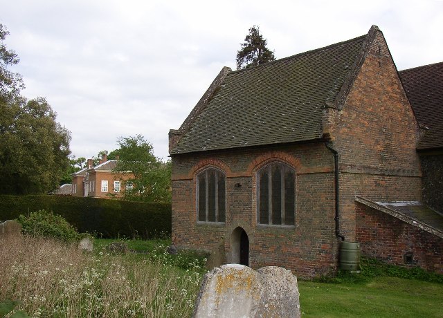
Breachwood Green Mill, King's Walden

Breachwood Green Mill is a Grade II listed tower mill at King's Walden, Hertfordshire, England which has been converted to residential accommodation....

Bendish

Bendish is a hamlet located in the parish of St Paul's Walden in Hertfordshire. In the 18th century, Bendish was a small town. It is about 3 miles east...

Wigmore, Luton

Wigmore is a suburb of Luton about 2 miles (3.2 km) east north-east of the town centre, and a ward of the Borough of Luton, in the ceremonial county of...
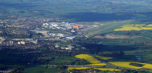
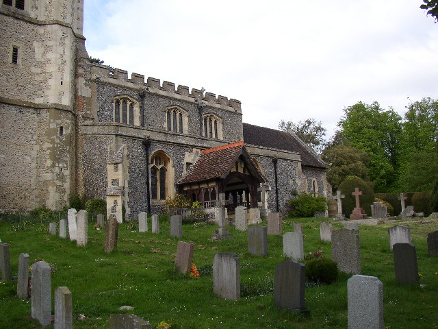
Luton Airport

London Luton Airport (IATA: LTN, ICAO: EGGW) is an international airport located in Luton, Bedfordshire, England, situated 1.7 miles (2.7 km) east of the...

Court Line Flight 95

Court Line Aviation Flight 95 was an international charter flight from London Luton Airport, Bedfordshire, England, to Munich-Riem Airport, West Germany...

Whitwell, Hertfordshire

Whitwell is a village in the parish of St Paul's Walden about six miles south of Hitchin in Hertfordshire, England. Situated on a tableland, a spur of...

Chiltern Green

Chiltern Green is a hamlet located in Bedfordshire, England. It is in the civil parish of Hyde. The settlement lent its name to Chiltern Green railway...

Nearby Amenities

Located within 500m of 51.883803,-0.326919
Fixme: Bus Stop "Chapel Road" is on Oxford Road but "Oxford Road" is on Chapel Road
Lat/Long: 51.8849995/-0.3295521
Odbl: clean
Lat/Long: 51.8857713/-0.3270943
Breachwood Green
Place: village
Wikidata: Q29854125
Lat/Long: 51.8852593/-0.3280139
Fixme: I think this junction needs to come about 7m S
Lat/Long: 51.8825953/-0.3263766
Odbl: clean
Lat/Long: 51.8860435/-0.3296162
Odbl: clean
Lat/Long: 51.8869751/-0.329233
Bus Stop
Oxford Road
Bus: yes
Local Ref: NR
Naptan AtcoCode: 210021100260
Naptan Bearing: S
Naptan CommonName: Oxford Road
Naptan Crossing: opp Red Lion PH
Naptan Indicator: nr
Naptan Landmark: opp Red Lion PH
Naptan NaptanCode: hrtgmdmj
Naptan ShortCommonName: NA
Naptan Street: Chapel Road
Naptan Verified: no
Public Transport: platform
Source: naptan_import
Lat/Long: 51.8847476/-0.3295188
Bus Stop
Chapel Road
Bench: yes
Bus: yes
Naptan AtcoCode: 210021100290
Naptan Bearing: W
Naptan CommonName: Chapel Road
Naptan Indicator: W-bound
Naptan Landmark: Unknown
Naptan NaptanCode: hrtgmdmt
Naptan ShortCommonName: NA
Naptan Street: Oxford Road
Naptan Verified: no
Public Transport: platform
Shelter: yes
Source: naptan_import
Lat/Long: 51.8849583/-0.3291622
Barrier: kissing_gate
Foot: yes
Source: GPS
Lat/Long: 51.8867765/-0.3267724
Post Box
Collection Times: Mo-Fr 09:00; Sa 07:00
Post Box Type: lamp
Ref: SG4 123
Royal Cypher: EIIR
Royal Cypher Wikidata: Q33102113
Lat/Long: 51.884895/-0.325834
Fire Hydrant
Emergency: fire_hydrant
Fire Hydrant Type: underground
Lat/Long: 51.8849649/-0.3269322
Waste Basket
Lat/Long: 51.8851281/-0.3294831
Grit Bin
Lat/Long: 51.8860838/-0.3262102
Waste Basket
Check Date: 2021-05-02
Lat/Long: 51.8849526/-0.3270226
Barrier: kissing_gate
Lat/Long: 51.8862576/-0.3266701
Shelter
Fixme: Really goes with the Bus Stop, whose name does not match the road !
Note: No bench
Lat/Long: 51.8847442/-0.3294669
Barrier: kissing_gate
Foot: yes
Source: GPS
Lat/Long: 51.8832531/-0.3299479
Barrier: kissing_gate
Foot: yes
Lat/Long: 51.886736/-0.3267531
Note: Signpost for footpaths
Lat/Long: 51.8877703/-0.3280208
The data included in this document is from www.openstreetmap.org. The data is made available under ODbL.

Have you been to Breachwood Green?

Leave your review of Breachwood Green below (or comments, questions and feedback).