Woolmer Hill

Settlement in Surrey Waverley
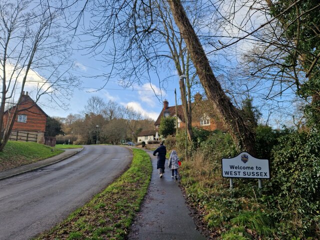
England

Woolmer Hill

New build in Haslemere (I) Wey Hill
New build in Haslemere (I) Credit: Basher Eyre

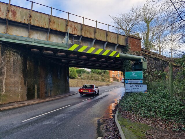
Woolmer Hill is a picturesque village located in the county of Surrey, England. Nestled in the heart of the Surrey Hills Area of Outstanding Natural Beauty, it offers breathtaking scenery and a tranquil atmosphere. The village is situated approximately 2 miles south of the town of Haslemere and enjoys excellent transport links, with the A3 road passing nearby.

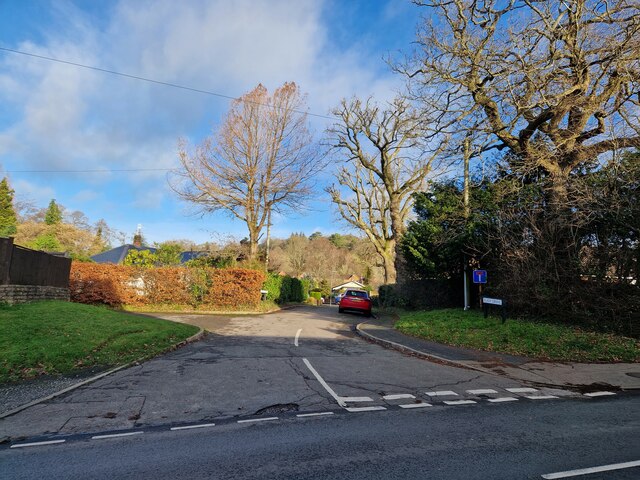
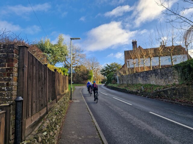
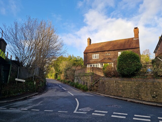
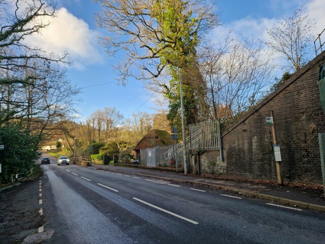
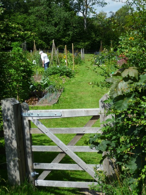
Woolmer Hill is known for its stunning countryside, with rolling hills, lush green fields, and dense woodlands, making it a popular destination for outdoor enthusiasts and nature lovers. The surrounding area offers numerous walking and cycling trails, providing ample opportunities to explore the stunning natural surroundings.

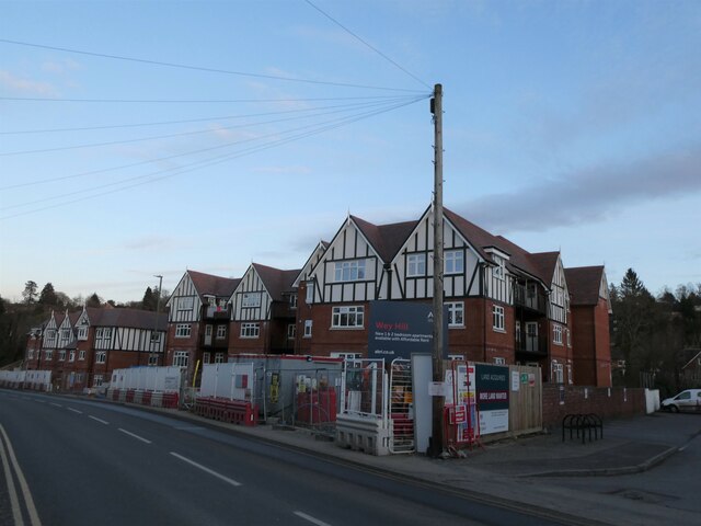
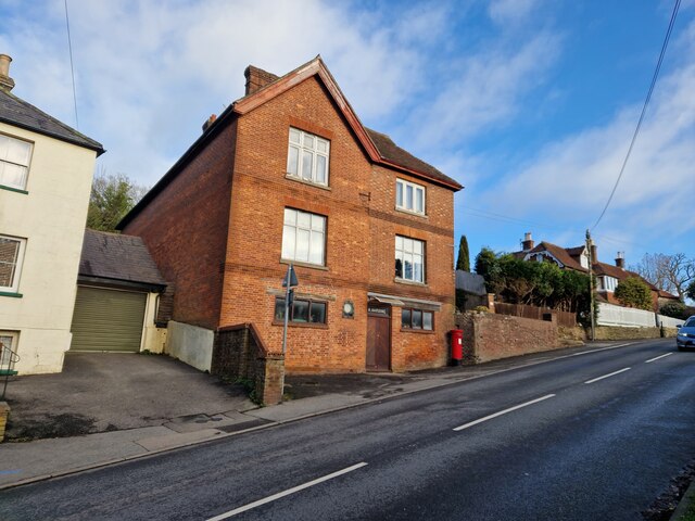
The village itself is small but charming, with a close-knit community and a friendly atmosphere. It boasts a range of amenities, including a local primary school, a village hall, and a handful of shops and businesses catering to the needs of residents. The nearby town of Haslemere provides additional amenities, such as supermarkets, restaurants, and a train station with regular services to London and other major cities.

Woolmer Hill is also rich in history, with several historic landmarks and buildings scattered throughout the area. These include St. James' Church, a beautiful Grade II listed building dating back to the 12th century, and the picturesque Hindhead Common, an ancient heathland with archaeological remains dating back thousands of years.

In summary, Woolmer Hill offers a peaceful and idyllic living environment, surrounded by stunning natural beauty and steeped in history. It provides a perfect balance between rural tranquility and convenient access to amenities, making it a highly desirable place to live or visit.

If you have any feedback on the listing, please let us know in the comments section below.

Woolmer Hill Images

Images are sourced within 2km of 51.091021/-0.74909818 or Grid Reference SU8733. Thanks to Geograph Open Source API. All images are credited.

New build in Haslemere (I) Wey Hill
New build in Haslemere (I)
Wey Hill
Bordering on the ridiculous (2) Coming from West Sussex into Surrey, with the junction to Crichmere lane on the left
Bordering on the ridiculous (2)
Coming from West Sussex into Surrey, with the junction to Crichmere lane on the left
Bordering on the ridiculous (3) Coming from Surrey into West Sussex, just past The Mill pub
Bordering on the ridiculous (3)
Coming from Surrey into West Sussex, just past The Mill pub
Looking from Liphook Road into Eliot Drive
Cyclist in Liphook Road
Postbox in Liphook Road This was formerly Harding Stores and sub-postoffice
Postbox in Liphook Road
This was formerly Harding Stores and sub-postoffice
Looking from Liphook Road into Critchmere Lane
Bus stops by the railway bridge in Liphook Road
Haslemere Classic Car Rally Revisited (1)
Haslemere Classic Car Rally Revisited (2)
Haslemere Classic Car Rally Revisited (3)
Haslemere Classic Car Rally Revisited (4)
Haslemere Classic Car Rally Revisited (5)
Haslemere Classic Car Rally Revisited (6)
Haslemere Classic Car Rally Revisited (7)
Hillside, Camelsdale
The Old Quarry, Marley Combe
Landshare allotments near Shottermill ponds The land is owned by the National Trust and the allotments were put in place in 2010.
Landshare allotments near Shottermill ponds
The land is owned by the National Trust and the allotments were put in place in 2010.
Show me another place!

Woolmer Hill is located at Grid Ref: SU8733 (Lat: 51.091021, Lng: -0.74909818)

Administrative County: Surrey

District: Waverley

Police Authority: Surrey

What 3 Words

///playroom.helper.grandson. Near Hindhead, Surrey

Related Wikis

Woolmer Hill

Woolmer Hill is an area of high ground in the south-west corner of Surrey, England in the Borough of Waverley abutting Hampshire to the west and West Sussex...

Woolmer Hill School

Woolmer Hill School, formerly Woolmer Hill Technology College, is the main secondary school in the area of Haslemere, Surrey. == Funding == A non-fee paying...

Shottermill & Haslemere F.C.

Shottermill & Haslemere Football Club is a football club based in Haslemere, Surrey, England. The club are currently members of the Surrey Intermediate...

Hammer Bottom

Hammer Bottom or Hammer Vale is a hamlet in the civil parish of Bramshott and Liphook, in the East Hampshire district in the county of Hampshire, England...

Nearby Amenities

Located within 500m of 51.091021,-0.74909818
Woolmer Hill
Place: village
Wikidata: Q9377810
Wikipedia: en:Woolmer Hill
Lat/Long: 51.0895053/-0.751326
School: entrance
Lat/Long: 51.0937508/-0.7501533
Hatchetts Drive
Naptan AtcoCode: 40004411118A
Naptan Bearing: SW
Naptan BusStopType: CUS
Naptan CommonName: Hatchetts Drive
Naptan Indicator: SW-bound
Naptan Landmark: Woolmer Hill Estate
Naptan NaptanCode: surgjdjg
Naptan Street: Hatchetts Drive
Naptan Verified: no
Source: naptan_import
Lat/Long: 51.0906923/-0.7498936
Bus Stop
Hatchetts Drive
Bus: yes
Naptan AtcoCode: 40004411118B
Naptan Bearing: NE
Naptan CommonName: Hatchetts Drive
Naptan Indicator: NE-bound
Naptan Landmark: Woolmer Hill Estate
Naptan NaptanCode: surdtmwa
Naptan Street: Hatchetts Drive
Naptan Verified: no
Public Transport: platform
Source: naptan_import
Lat/Long: 51.0907382/-0.749978
Bus Stop
Dolphin Close
Bus: yes
Naptan AtcoCode: 40004411120A
Naptan Bearing: S
Naptan CommonName: Dolphin Close
Naptan Indicator: adj
Naptan Landmark: Dolphin Close
Naptan NaptanCode: surdtmwd
Naptan Street: Critchmere Lane
Naptan Verified: no
Public Transport: platform
Source: naptan_import
Lat/Long: 51.0887786/-0.7433482
Bus Stop
Dolphin Close
Bus: yes
Naptan AtcoCode: 40004411120B
Naptan Bearing: N
Naptan CommonName: Dolphin Close
Naptan Indicator: Opp
Naptan Landmark: Royal Oak
Naptan NaptanCode: surdtmwg
Naptan Street: Critchmere Lane
Naptan Verified: no
Public Transport: platform
Source: naptan_import
Lat/Long: 51.0888258/-0.7435611
Bus Stop
Lower Hanger
Bus: yes
Naptan AtcoCode: 40004411954A
Naptan Bearing: W
Naptan CommonName: Lower Hanger
Naptan Indicator: W-bound
Naptan Landmark: Lower Hanger
Naptan NaptanCode: surgmtag
Naptan Street: Lower Hanger Road
Naptan Verified: no
Public Transport: platform
Source: naptan_import
Lat/Long: 51.0889208/-0.750741
Bus Stop
Lower Hanger
Bus: yes
Naptan AtcoCode: 40004411954B
Naptan Bearing: E
Naptan CommonName: Lower Hanger
Naptan Indicator: E-bound
Naptan Landmark: Lower Hanger
Naptan NaptanCode: surgmtaj
Naptan Street: Lower Hanger Road
Naptan Verified: no
Public Transport: platform
Source: naptan_import
Lat/Long: 51.0890721/-0.7505941
Bus Stop
Woolmer Hill School
Bus: yes
Naptan AtcoCode: 40004411955A
Naptan Bearing: N
Naptan CommonName: Woolmer Hill School
Naptan Indicator: Opp
Naptan Landmark: Woolmer Hill School
Naptan NaptanCode: surgmtam
Naptan Street: Woolmer Hill Road
Naptan Verified: no
Public Transport: platform
Source: naptan_import
Lat/Long: 51.092748/-0.7495525
Woolmer Hill School
Naptan AtcoCode: 40004411955B
Naptan Bearing: S
Naptan BusStopType: CUS
Naptan CommonName: Woolmer Hill School
Naptan Indicator: adj
Naptan Landmark: Woolmer Hill School
Naptan NaptanCode: surgpwjt
Naptan Street: Woolmer Hill Road
Naptan Verified: no
Source: naptan_import
Lat/Long: 51.0928209/-0.7489121
Post Box
Collection Plate: CP7D
Collection Times: Mo-Fr 09:00; Sa 07:00
Drive Through: no
Last Checked: 2020-09-06
Operator: Royal Mail
Post Box Type: lamp
Ref: GU27 4D
Royal Cypher: EIIR
Royal Cypher Wikidata: Q33102113
Lat/Long: 51.0868542/-0.7465454
School: entrance
Lat/Long: 51.0927865/-0.7493671
Crossing
Crossing: zebra
Lat/Long: 51.0928874/-0.7481315
Bicycle Parking
Capacity: 12
Covered: no
Lat/Long: 51.0947785/-0.7496211
Post Box
Collection Plate: CP1D
Collection Times: Mo-Fr 09:00; Sa 07:00
Last Checked: 2020-09-06
Operator: Royal Mail
Post Box Type: wall
Ref: GU27 67D
Royal Cypher: EIIR
Royal Cypher Wikidata: Q33102113
Wikimedia Commons: File:Post_Box_GU27_67D,_Woolmer_Hill_Road,_Haslemere,_Surrey.jpg
Lat/Long: 51.0898668/-0.7436192
Post Box
Collection Plate: CP7
Collection Times: Mo-Fr 16:30; Sa 12:00
Drive Through: no
Last Checked: 2020-09-06
Operator: Royal Mail
Post Box Type: wall
Ref: GU27 102
Royal Cypher: EIIR
Royal Cypher Wikidata: Q33102113
Wikimedia Commons: File:Post_Box_GU27_102,_Woolmer_Hill_Road,_Haslemere,_Surrey.jpg
Lat/Long: 51.0909181/-0.7490543
Waste Basket
Lat/Long: 51.0889072/-0.7466327
Barrier: block
Lat/Long: 51.0898901/-0.743915
The data included in this document is from www.openstreetmap.org. The data is made available under ODbL.

Have you been to Woolmer Hill?

Leave your review of Woolmer Hill below (or comments, questions and feedback).