Woolley

Settlement in Huntingdonshire Huntingdonshire

England

Woolley

Woolley Hill
Woolley Hill Credit: David Howard

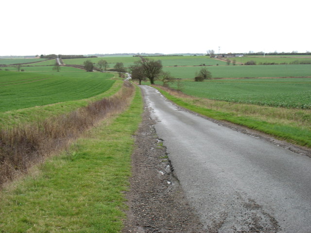
Woolley is a small village located in the historic county of Huntingdonshire, in the east of England. Situated about 7 miles northwest of the town of Huntingdon, it lies in a rural area surrounded by picturesque countryside.

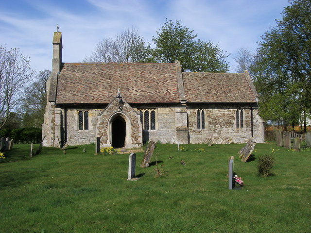
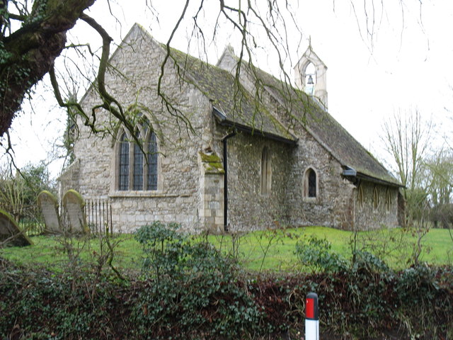
With a population of approximately 500 residents, Woolley retains its quaint and tranquil charm. The village is characterized by its traditional stone houses, many of which date back centuries, giving it a sense of historical significance. The local parish church, St. John the Baptist, is an architectural gem, dating back to the 12th century and providing a focal point for the community.

Despite its small size, Woolley has a close-knit community spirit. Residents often gather for social events and activities, fostering a sense of camaraderie. The village also boasts a village hall, which serves as a hub for various community gatherings and functions.

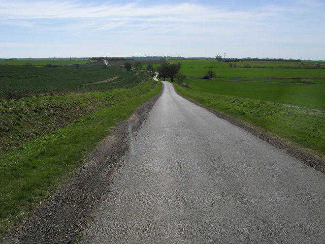
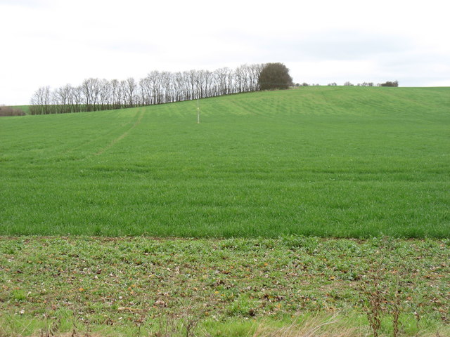
Surrounding the village are vast expanses of farmland, making agriculture a prominent industry in the area. The fertile soil and favorable climate have allowed farmers to cultivate crops such as wheat, barley, and rapeseed. Livestock farming, particularly sheep and cattle, also plays a significant role in the local economy.

Woolley is well-positioned for those seeking a peaceful rural lifestyle, while still being within commuting distance of larger towns and cities. Its idyllic location, combined with its rich history and strong sense of community, makes Woolley a charming destination for residents and visitors alike.

If you have any feedback on the listing, please let us know in the comments section below.
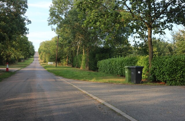
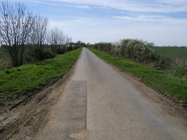
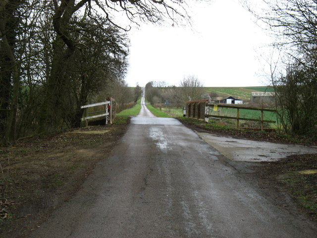
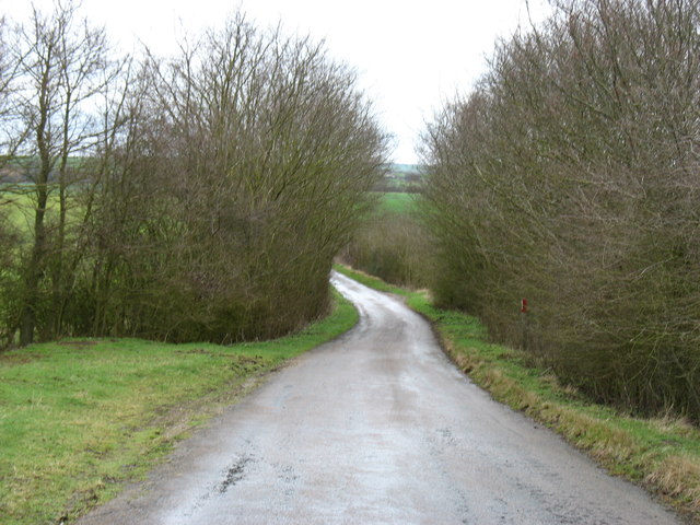
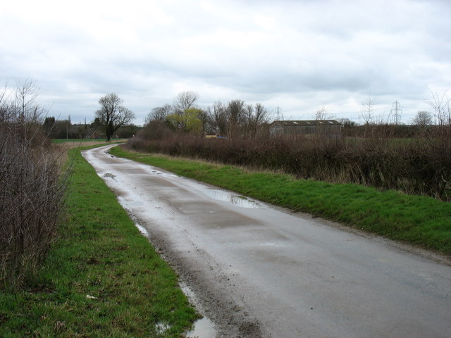
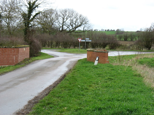
Woolley Images

Images are sourced within 2km of 52.356601/-0.31239989 or Grid Reference TL1574. Thanks to Geograph Open Source API. All images are credited.

Woolley Hill
Woolley Hill
Lane to Barham From Buckworth the lane to Barham
Lane to Barham
From Buckworth the lane to Barham
St Giles church St Giles church Barham
St Giles church
St Giles church Barham
Lane heading to Belton's Hill Lane from Barham heading to Belton's Hill
Lane heading to Belton's Hill
Lane from Barham heading to Belton's Hill
Mad Bridge and Woolley Hill
Approaching Woolley from the south
Minor bridge and road junction in Woolley
Deer fighting! These rather strange sculptures are in the grounds of Manor House Farm, Woolley.
Deer fighting!
These rather strange sculptures are in the grounds of Manor House Farm, Woolley.
Fields near Tenerry Farm
St Giles church, Barham The bell which had been removed in <a href="https://www.geograph.org.uk/photo/339430">TL1375 : Barham Church</a> seems to have been reinstated.
St Giles church, Barham
The bell which had been removed in TL1375 : Barham Church seems to have been reinstated.
The road from Barham to Spaldwick
German Marker? This can be found next to the Triangulation Pillar to the north of Grove Bridge.
German Marker?
This can be found next to the Triangulation Pillar to the north of Grove Bridge.
The Church of St Giles at Barham
Ordnance Survey Cut Mark This mark can be found on the wall Of St Giles Church, Barham.
For more detail see : <span class="nowrap"><a title="http://www.bench-marks.org.uk/bm33712" rel="nofollow ugc noopener" href="http://www.bench-marks.org.uk/bm33712">Link</a><img style="margin-left:2px;" alt="External link" title="External link - shift click to open in new window" src="https://s1.geograph.org.uk/img/external.png" width="10" height="10"/></span>
Ordnance Survey Cut Mark
This mark can be found on the wall Of St Giles Church, Barham. For more detail see : LinkExternal link
Barn and telephone box, Barham
Thatchers Rest, Barham Built in the late C17. See <span class="nowrap"><a title="http://www.britishlistedbuildings.co.uk/en-54721-thatchers-rest-barham-and-woolley-cambrid#.VddhYflViko" rel="nofollow ugc noopener" href="http://www.britishlistedbuildings.co.uk/en-54721-thatchers-rest-barham-and-woolley-cambrid#.VddhYflViko">Link</a><img style="margin-left:2px;" alt="External link" title="External link - shift click to open in new window" src="https://s1.geograph.org.uk/img/external.png" width="10" height="10"/></span> for entry in British Listed Buildings
Thatchers Rest, Barham
Built in the late C17. See LinkExternal link for entry in British Listed Buildings
St Giles' church, Barham The south wall of the nave is the oldest remaining part of the church and dates from C12. The chancel dates from around 1300. In 1850, the north wall of the nave was rebuilt and the bell-cot was added.
St Giles' church, Barham
The south wall of the nave is the oldest remaining part of the church and dates from C12. The chancel dates from around 1300. In 1850, the north wall of the nave was rebuilt and the bell-cot was added.
Show me another place!

Woolley is located at Grid Ref: TL1574 (Lat: 52.356601, Lng: -0.31239989)

Administrative County: Cambridgeshire

District: Huntingdonshire

Police Authority: Cambridgeshire

What 3 Words

///slowly.waffle.loitering. Near Alconbury, Cambridgeshire

Nearby Locations

Barham and Woolley Woolley

Related Wikis

Woolley, Cambridgeshire

Woolley is a hamlet and former civil parish, now in the parish of Barham and Woolley, in Cambridgeshire, England. Woolley lies approximately 5 miles (8...

Barham, Huntingdonshire

Barham is a village and former civil parish, now in the parish of Barham and Woolley, in Cambridgeshire, England. Barham lies approximately 7 miles (11...

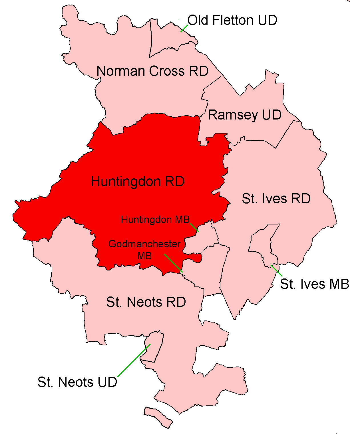
Huntingdon Rural District

Huntingdon was a rural district in Huntingdonshire from 1894 to 1974, lying to the north and west of urban Huntingdon. It was formed in 1894 under the...

Barham and Woolley

Barham and Woolley is a civil parish in the Huntingdonshire district of Cambridgeshire, England. The parish includes the villages of Barham and Woolley...

Nearby Amenities

Located within 500m of 52.356601,-0.31239989
Created By: Merkaartor 0.12
Lat/Long: 52.3574657/-0.3056537
Created By: Merkaartor 0.12
Lat/Long: 52.357421/-0.307291
Created By: Merkaartor 0.12
Lat/Long: 52.357233/-0.3086969
Created By: Merkaartor 0.12
Lat/Long: 52.356712/-0.31139
Created By: Merkaartor 0.12
Lat/Long: 52.356603/-0.312042
Created By: Merkaartor 0.12
Lat/Long: 52.3572691/-0.3146177
Created By: Merkaartor 0.12
Lat/Long: 52.357955/-0.315989
Created By: Merkaartor 0.12
Lat/Long: 52.3581919/-0.316615
Created By: Merkaartor 0.12
Lat/Long: 52.35216/-0.312066
Created By: Merkaartor 0.12
Lat/Long: 52.353594/-0.3109669
Created By: Merkaartor 0.12
Lat/Long: 52.3589334/-0.3164577
Created By: Merkaartor 0.12
Lat/Long: 52.3579112/-0.3128099
Created By: Merkaartor 0.12
Lat/Long: 52.3580947/-0.3095912
Created By: Merkaartor 0.12
Lat/Long: 52.3567318/-0.3082179
Created By: Merkaartor 0.12
Lat/Long: 52.3541631/-0.308175
Created By: Merkaartor 0.12
Lat/Long: 52.3525904/-0.30972
Created By: Merkaartor 0.12
Lat/Long: 52.3528/-0.3135394
Created By: Merkaartor 0.12
Lat/Long: 52.3551067/-0.3133248
Created By: Merkaartor 0.12
Lat/Long: 52.3570987/-0.3190755
Woolley
Is In: Cambridgeshire, England, UK
Place: village
Lat/Long: 52.3557096/-0.3122949
Bus Stop
Ellington Road
Bus: yes
Naptan AtcoCode: 0500HBARW004
Naptan Bearing: W
Naptan BusStopType: CUS
Naptan CommonName: Ellington Road
Naptan Indicator: near
Naptan Landmark: Ellington Road
Naptan NaptanCode: cmbdmptg
Naptan ShortCommonName: Ellington Road
Naptan Street: Woolley Road
Naptan Verified: no
Public Transport: platform
Source: naptan_import
Lat/Long: 52.3565736/-0.3123195
Bus Stop
Ellington Road
Bus: yes
Naptan AtcoCode: 0500HBARW005
Naptan Bearing: E
Naptan BusStopType: CUS
Naptan CommonName: Ellington Road
Naptan Indicator: opp
Naptan Landmark: Ellington Road
Naptan NaptanCode: cmbdmptj
Naptan ShortCommonName: Ellington Road
Naptan Street: Woolley Road
Naptan Verified: no
Public Transport: platform
Source: naptan_import
Lat/Long: 52.3566678/-0.3123343
Post Box
Ref: PE28 30
Lat/Long: 52.3565134/-0.3124065
Information: guidepost
Tourism: information
Lat/Long: 52.3546005/-0.3103315
Power: pole
Lat/Long: 52.3598411/-0.3175121
Power: pole
Lat/Long: 52.3587369/-0.3067135
Power: pole
Lat/Long: 52.3569679/-0.3134618
Power: pole
Lat/Long: 52.3586403/-0.3164498
Power: pole
Lat/Long: 52.3594315/-0.3161199
Power: pole
Lat/Long: 52.358429/-0.3126009
Power: pole
Lat/Long: 52.3583749/-0.3117089
Power: pole
Lat/Long: 52.3585371/-0.3080412
Power: pole
Lat/Long: 52.3577149/-0.3130516
Power: pole
Lat/Long: 52.3590678/-0.3148163
Power: pole
Lat/Long: 52.3586338/-0.3135396
Barrier: stile
Lat/Long: 52.354913/-0.311805
Barrier: stile
Lat/Long: 52.3550758/-0.3112274
Barrier: stile
Lat/Long: 52.3561249/-0.3147767
Barrier: stile
Lat/Long: 52.3558851/-0.3145899
Parish Church of St Mary
Access: yes
Description: Grade II Listed. Parish church now ruinous. Surviving ruined walls of west tower and doorway late C14, south nave wall and blocked doorway, south aisle wall and part of jamb to south doorway and buttresses and wall of south transept c.1300; the south tran
Historic: ruins
Historic Civilization: medieval
Ruins: church
Lat/Long: 52.3565673/-0.3126996
The data included in this document is from www.openstreetmap.org. The data is made available under ODbL.

Have you been to Woolley?

Leave your review of Woolley below (or comments, questions and feedback).