Woolhope Cockshoot

Settlement in Herefordshire

England

Woolhope Cockshoot

Track towards Bunkers Hill
Track towards Bunkers Hill Credit: Julian P Guffogg

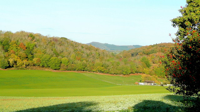
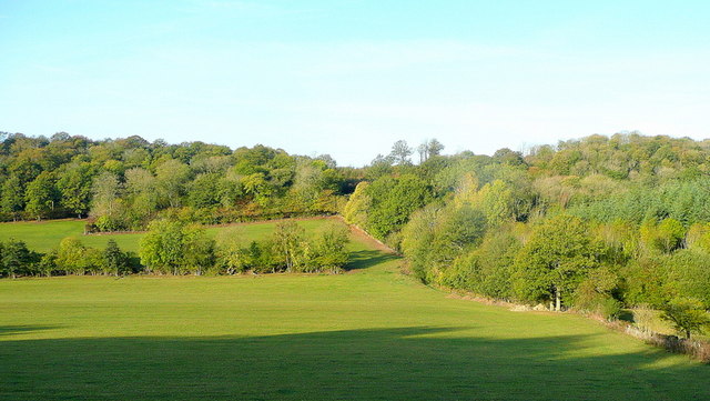
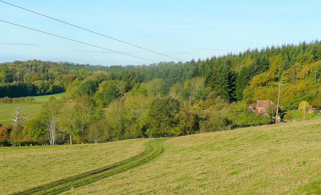
Woolhope Cockshoot is a small village located in the county of Herefordshire, England. Situated in the West Midlands region, the village is nestled in the picturesque Wye Valley, known for its stunning landscapes and natural beauty. Woolhope Cockshoot lies approximately 8 miles east of the city of Hereford and is surrounded by rolling hills and fertile farmland.

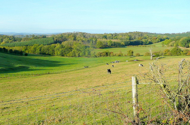
The village itself is home to a close-knit community, consisting of around 200 residents. The local economy is primarily based on agriculture, with farming and livestock rearing being the main occupations. The village is also renowned for its orchards, producing a variety of fruits, including apples and pears, which are highly sought after in the region.

Woolhope Cockshoot boasts a rich history, with evidence of human settlement dating back to the Neolithic period. The area is known for its ancient woodlands, which are believed to have inspired various folklore and legends throughout the ages. Visitors can explore the nearby Woolhope Dome, a geological feature of national significance, offering breathtaking views of the surrounding countryside.

The village is well-connected to the wider region, with regular bus services providing transportation to nearby towns and cities. Despite its rural location, Woolhope Cockshoot offers a range of amenities to its residents, including a community center, a primary school, and a local pub, which serves as a social hub for the village.

Overall, Woolhope Cockshoot is a charming and idyllic village, offering a peaceful and picturesque setting for residents and visitors alike.

If you have any feedback on the listing, please let us know in the comments section below.

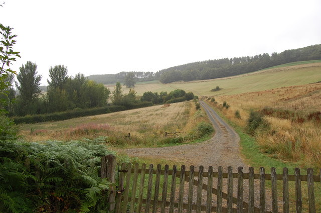
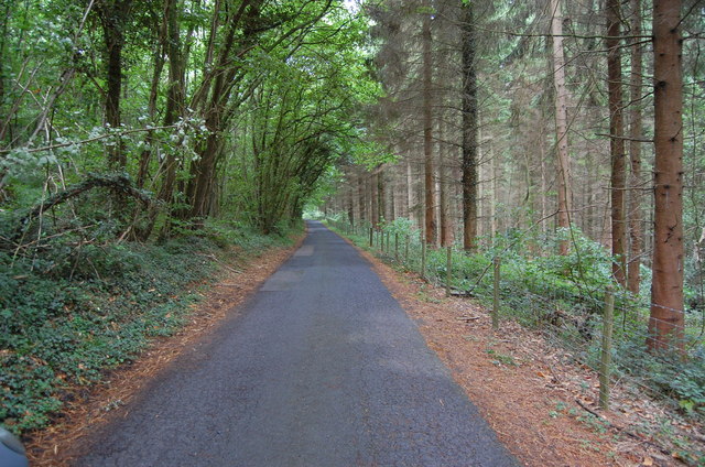
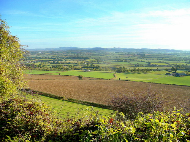
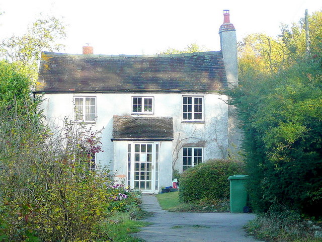
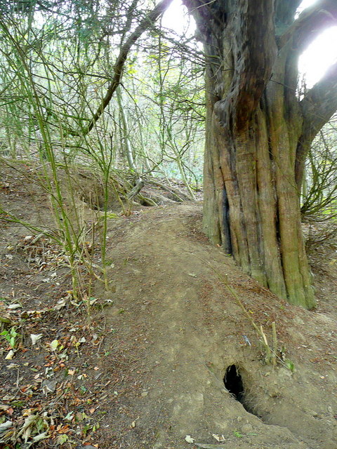
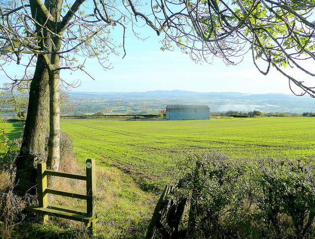
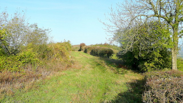
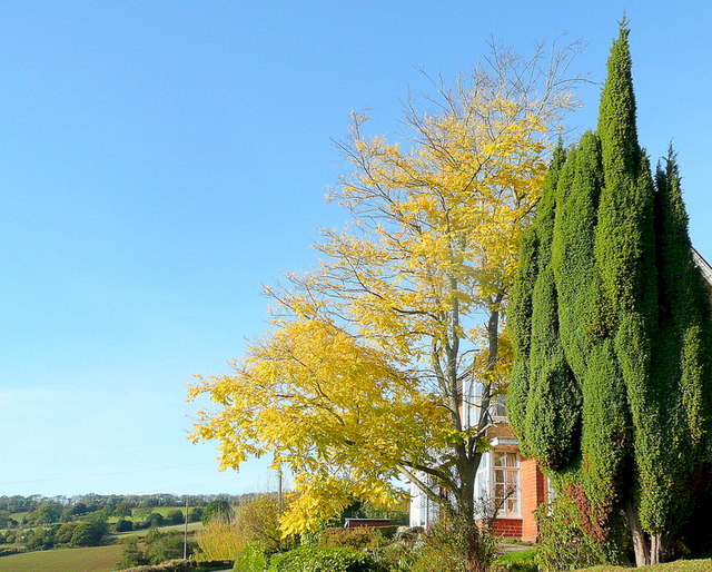
Woolhope Cockshoot Images

Images are sourced within 2km of 52.031719/-2.5395744 or Grid Reference SO6337. Thanks to Geograph Open Source API. All images are credited.

Track towards Bunkers Hill
Lane through Park Coppice
Cottage at Putley Common Compare with <a href="https://www.geograph.org.uk/photo/55999">SO6338 : Cottage at Putley Common</a>
Cottage at Putley Common
View over Kynaston The glorious Herefordshire countryside in autumn.
In the distance are the Malvern Hills.
View over Kynaston
The glorious Herefordshire countryside in autumn. In the distance are the Malvern Hills.
Hooper's Oak Cottage Viewed from the public road.
Hooper's Oak Cottage
Viewed from the public road.
Beans Butts Wood Interestingly-named woodland and farmland in the picturesque Woolhope Hills.
Beans Butts Wood
Interestingly-named woodland and farmland in the picturesque Woolhope Hills.
Wooded hills Nurden Wood to the left and Round Hill Wood to the right.
Wooded hills
Nurden Wood to the left and Round Hill Wood to the right.
View from Woolhope Cockshoot The eye is led towards Round Hill Wood and Devereux Park.
View from Woolhope Cockshoot
The eye is led towards Round Hill Wood and Devereux Park.
Park Coppice Looking west on a fine autumn morning.
Park Coppice
Looking west on a fine autumn morning.
Badger sett, Jones's Coppice Next to a yew tree by the steep public path near the northern edge of the gridsquare.
Badger sett, Jones's Coppice
Next to a yew tree by the steep public path near the northern edge of the gridsquare.
Path to Hazel Court Looking north-east towards the Malvern Hills in the blue distance.
Path to Hazel Court
Looking north-east towards the Malvern Hills in the blue distance.
Green Lane This apparently ancient lane follows the crest of Seager Hill.
Green Lane
This apparently ancient lane follows the crest of Seager Hill.
Autumn colour A laburnum and conifer by The Fosbury against a clear October sky.
Autumn colour
A laburnum and conifer by The Fosbury against a clear October sky.
That should read Pool End Someone has had fun scraping the 'L' off this country sign.
That should read Pool End
Someone has had fun scraping the 'L' off this country sign.
Cottage at Durlow Common Cottage at Durlow Common viewed from a footpath from Putley.
Cottage at Durlow Common
Cottage at Durlow Common viewed from a footpath from Putley.
Mains Wood, Putley Gates into Mains Wood in Putley.
Mains Wood, Putley
Gates into Mains Wood in Putley.
Putley Common Houses on the eastern side of Putley Common.  A footpath to Durlow Common follows the track and enters the wood behind the house on the right.
Putley Common
Houses on the eastern side of Putley Common. A footpath to Durlow Common follows the track and enters the wood behind the house on the right.
Footpath in Commander's Wood A footpath from Putley Common to Durlow Common passing through Commander's Wood.
Footpath in Commander's Wood
A footpath from Putley Common to Durlow Common passing through Commander's Wood.
Show me another place!

Woolhope Cockshoot is located at Grid Ref: SO6337 (Lat: 52.031719, Lng: -2.5395744)

Unitary Authority: County of Herefordshire

Police Authority: West Mercia

What 3 Words

///lawn.bath.huddling. Near Brockhampton, Herefordshire

Related Wikis

Putley

Putley is a village and civil parish 8 miles (13 km) east of Hereford, in the county of Herefordshire, England. In 2011 the parish had a population of...

Rushall, Herefordshire

Rushall is a small hamlet in Herefordshire, England. It is approximately halfway between Woolhope and Much Marcle. == Notes == === References ===

Woolhope

Woolhope is a village and civil parish in the English county of Herefordshire. The population of the civil parish was 486 at the 2011 census. The civil...

Aylton

Aylton is a village in eastern Herefordshire, England. It is 5.5 km (3.4 mi) west of Ledbury. The population of this parish at the 2011 Census was 144...

Nearby Amenities

Located within 500m of 52.031719,-2.5395744
Generator Method: photovoltaic
Generator Output Electricity: yes
Generator Source: solar
Generator Type: solar_photovoltaic_panel
Location: roof
Power: generator
Lat/Long: 52.0302197/-2.5409129
Barrier: stile
Lat/Long: 52.0321723/-2.5389764
Woolhope Cockshoot
Place: hamlet
Lat/Long: 52.03202/-2.5381476
Power: pole
Lat/Long: 52.0317412/-2.5340197
Keepers Cottage
Power: pole
Transformer: distribution
Voltage Primary: 11000
Lat/Long: 52.0342791/-2.5440411
Power: pole
Lat/Long: 52.0338158/-2.542761
Power: pole
Lat/Long: 52.0332746/-2.5412603
Power: pole
Lat/Long: 52.0325593/-2.5401881
Woolhope Cockshoot
Power: pole
Transformer: distribution
Voltage Primary: 11000
Lat/Long: 52.0318658/-2.5391534
Power: pole
Lat/Long: 52.0315723/-2.5381516
Power: pole
Lat/Long: 52.0312965/-2.5371417
Power: pole
Lat/Long: 52.0314161/-2.5362432
Power: pole
Lat/Long: 52.0315976/-2.5349933
The Wonders
Power: pole
Transformer: distribution
Voltage Primary: 11000
Lat/Long: 52.0291545/-2.5376406
Power: pole
Lat/Long: 52.0292222/-2.5372008
Power: pole
Lat/Long: 52.0294053/-2.536089
Power: pole
Lat/Long: 52.0295588/-2.5345722
Power: pole
Lat/Long: 52.030497/-2.5338534
Power: pole
Lat/Long: 52.0311372/-2.533388
Power: pole
Lat/Long: 52.0319203/-2.5327905
The data included in this document is from www.openstreetmap.org. The data is made available under ODbL.

Have you been to Woolhope Cockshoot?

Leave your review of Woolhope Cockshoot below (or comments, questions and feedback).