Brazenhill
Settlement in Staffordshire Stafford
England
Brazenhill

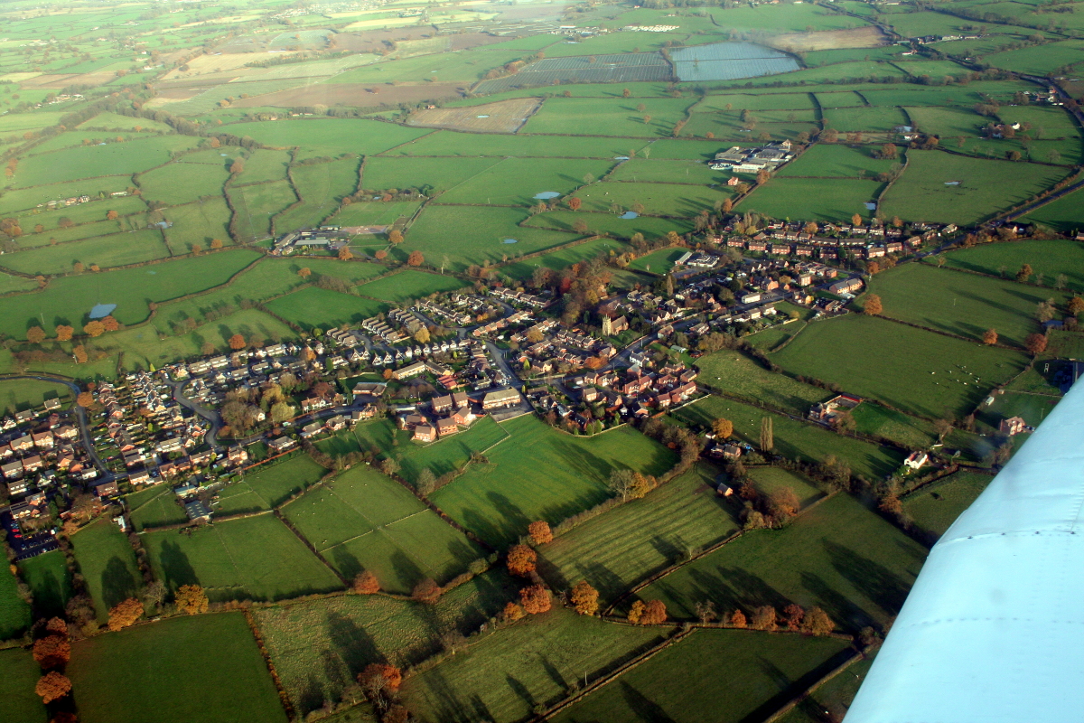
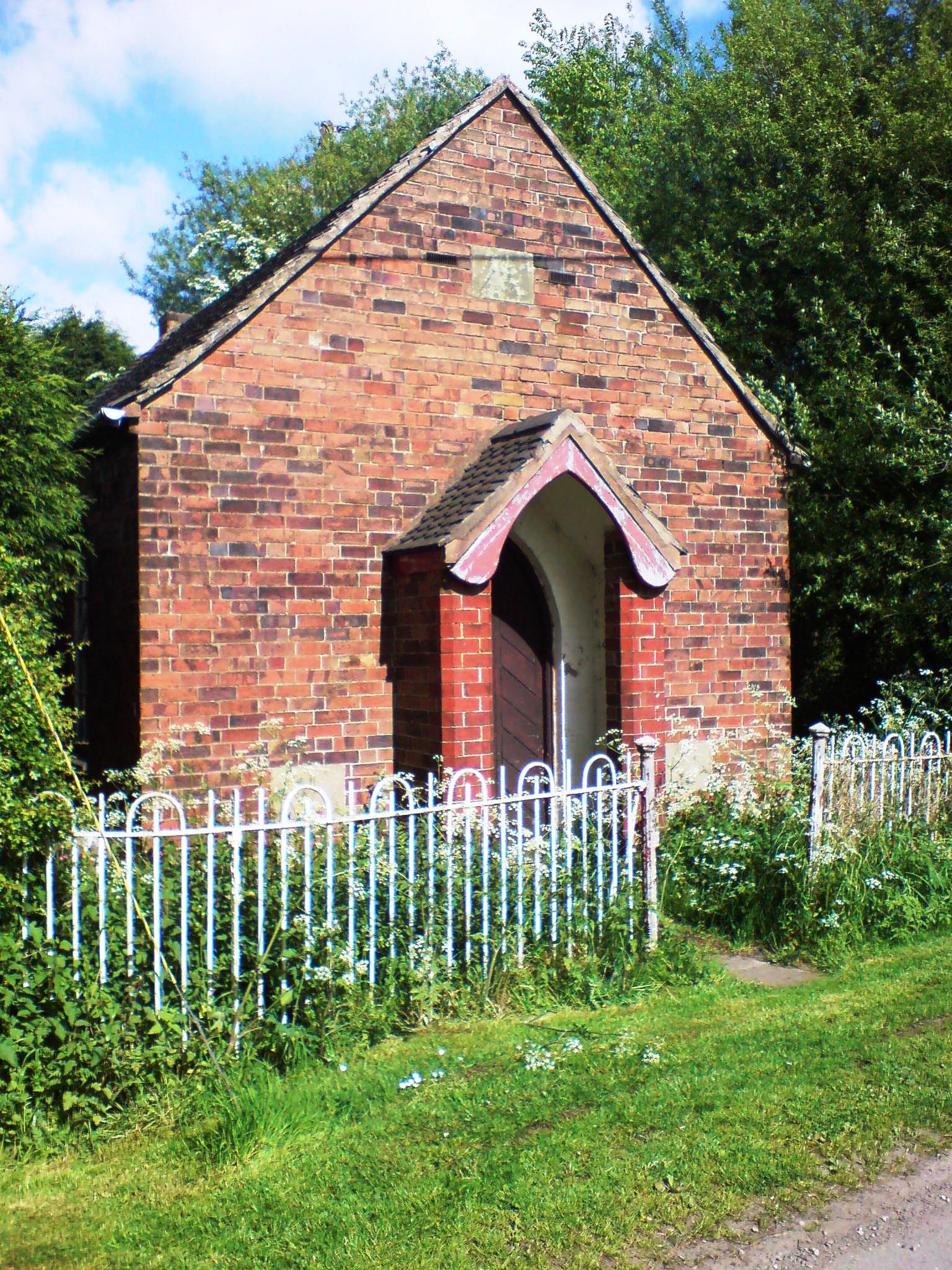
Brazenhill is a small village located in the county of Staffordshire, England. Nestled in the picturesque countryside, the village is situated approximately 12 miles north of Stafford, the county town. Brazenhill is known for its tranquil and idyllic setting, offering residents and visitors a peaceful retreat from the hustle and bustle of city life.
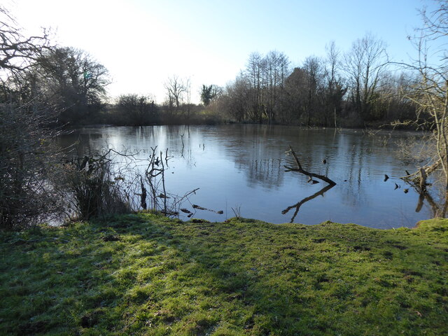
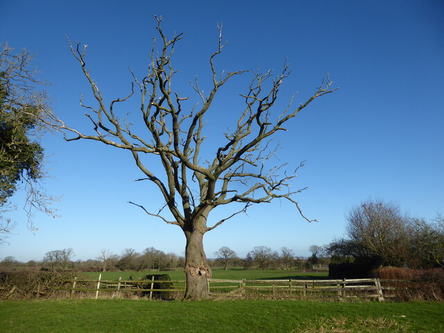
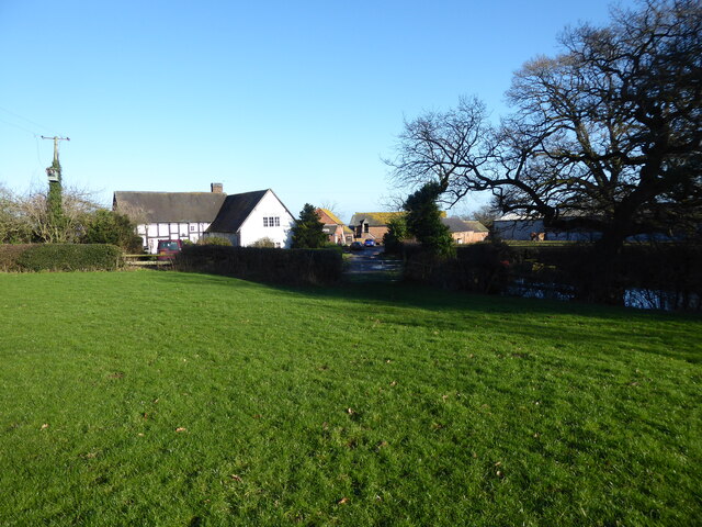
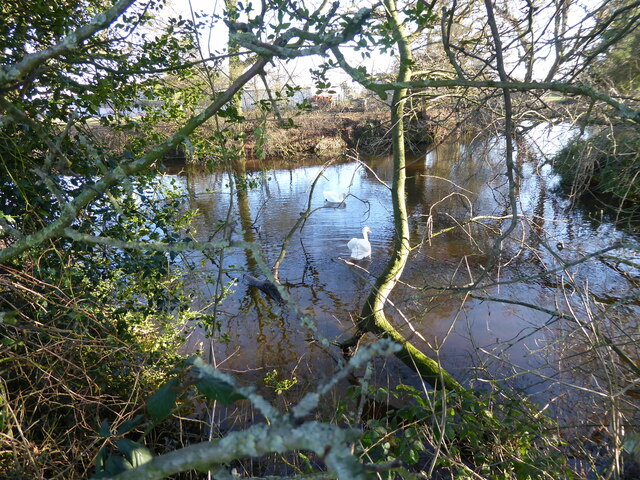
The village is characterized by its charming rural charm, with a scattering of traditional stone cottages and quaint country lanes. The surrounding landscape is dominated by rolling hills and lush green fields, making it a haven for nature enthusiasts and walkers alike. The nearby Cannock Chase, an Area of Outstanding Natural Beauty, provides ample opportunities for outdoor activities such as hiking, cycling, and wildlife spotting.
Despite its small size, Brazenhill boasts a strong sense of community spirit. The village has a close-knit population, and residents take pride in organizing various social events throughout the year, including summer fetes and Christmas markets. The village also has a primary school, a local pub, and a small convenience store, ensuring that basic amenities are readily available to its inhabitants.
For those seeking a taste of history, Brazenhill is within easy reach of several notable landmarks. The historic market town of Stafford, with its medieval castle and ancient church, is a short drive away. Additionally, the National Memorial Arboretum, a poignant tribute to fallen soldiers, is located in nearby Alrewas.
Overall, Brazenhill offers a serene and charming English village experience, with its beautiful countryside, strong community ties, and proximity to both nature and historical attractions.
If you have any feedback on the listing, please let us know in the comments section below.
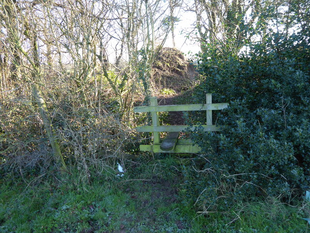
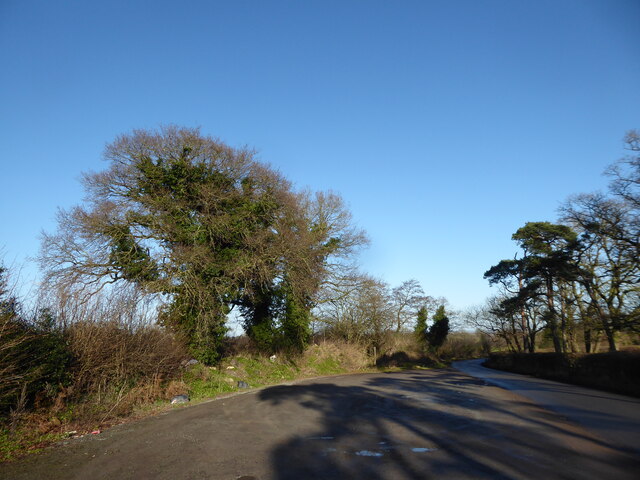
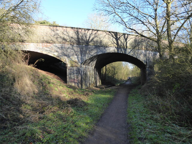
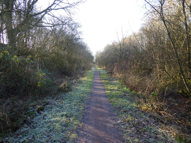
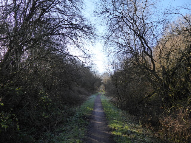
Brazenhill Images
Images are sourced within 2km of 52.789534/-2.197189 or Grid Reference SJ8621. Thanks to Geograph Open Source API. All images are credited.


Brazenhill is located at Grid Ref: SJ8621 (Lat: 52.789534, Lng: -2.197189)
Administrative County: Staffordshire
District: Stafford
Police Authority: Staffordshire
What 3 Words
///enthused.theme.froze. Near Gnosall, Staffordshire
Nearby Locations
Related Wikis

Haughton railway station
Haughton railway station was a station in Haughton, Staffordshire, England. The station was opened on 1 June 1849 and closed in May 1949. == References... ==
Haughton, Staffordshire
Haughton is a village in Staffordshire, England, approximately 4 miles outside and to the west of the county town of Stafford. It lies on the A518 between...

Brazenhill
Brazenhill is rural area immediately north of the village of Haughton in Staffordshire, England. It is effectively defined by Brazenhill Lane which is...

Berry Ring
Berry Ring (also known as Bury Ring) is an Iron Age hillfort in Staffordshire, England, lying some two miles southwest of the county town of Stafford,...
Coton Clanford
Coton Clanford is a small dispersed Staffordshire village lying in gently rolling countryside 3 miles due west of Stafford, England, and 1 mile southeast...

Derrington
Derrington is a village west of the town of Stafford, in Staffordshire, England. For population details from the 2011 Census see under Seighford. Derrington...
Ranton Green
Ranton Green is a small village in Staffordshire about a mile southwest of Ranton, Staffordshire and a mile northeast of Gnosall. It consists of a few...
Stafford Rural District
Stafford Rural District was a rural district in the county of Staffordshire. It was created in 1894 and abolished in 1974 by virtue of the Local Government...
Nearby Amenities
Located within 500m of 52.789534,-2.197189Have you been to Brazenhill?
Leave your review of Brazenhill below (or comments, questions and feedback).