Woodthorpe
Settlement in Nottinghamshire Gedling
England
Woodthorpe

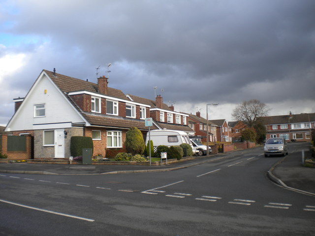
Woodthorpe is a suburban village located in the county of Nottinghamshire, England. Situated approximately 4 miles north of the city of Nottingham, it falls within the Gedling Borough Council area. With a population of around 5,000 residents, it offers a peaceful and close-knit community environment.
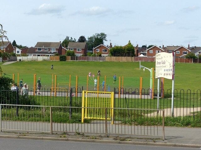
The village is known for its picturesque surroundings, nestled between the Gedling Country Park and the prestigious Mapperley Golf Course. The park provides ample opportunities for outdoor activities, including walking, cycling, and birdwatching, while the golf course offers a challenging experience for enthusiasts. The nearby Gedling House Woods and Colwick Park further enhance the natural beauty of the area.
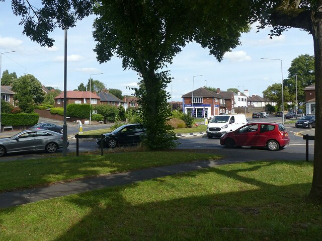
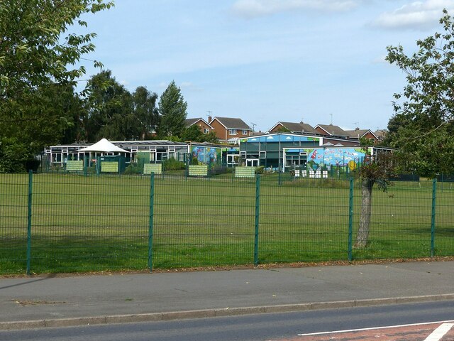
Woodthorpe boasts a range of amenities to cater to its residents' needs. These include a local primary school, a medical center, and a leisure center. The village is also well-served by public transportation, with regular bus services connecting it to Nottingham city center and other nearby towns.
Housing in Woodthorpe primarily consists of family homes, ranging from cozy cottages to modern houses. The village's residential areas are characterized by well-maintained gardens and tree-lined streets, contributing to its overall charm.
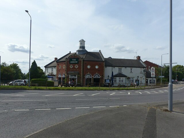
Woodthorpe is also home to a variety of local shops, including a convenience store and a post office, providing essential goods and services to the community. Additionally, the village features several pubs and restaurants, offering a range of cuisine options.
Overall, Woodthorpe is a desirable location for those seeking a suburban retreat while still enjoying easy access to the amenities and attractions of Nottingham.
If you have any feedback on the listing, please let us know in the comments section below.
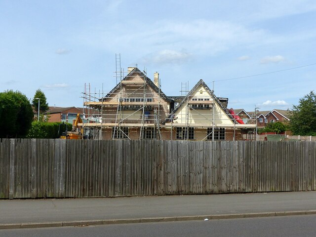
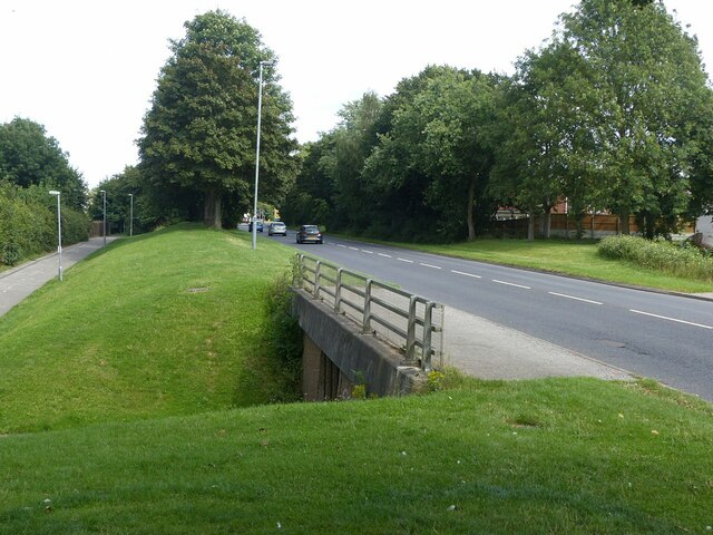
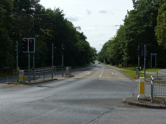
Woodthorpe Images
Images are sourced within 2km of 52.990577/-1.130064 or Grid Reference SK5844. Thanks to Geograph Open Source API. All images are credited.


Woodthorpe is located at Grid Ref: SK5844 (Lat: 52.990577, Lng: -1.130064)
Administrative County: Nottinghamshire
District: Gedling
Police Authority: Nottinghamshire
What 3 Words
///loft.ticket.bump. Near Arnold, Nottinghamshire
Nearby Locations
Related Wikis
Woodthorpe, Nottinghamshire
Woodthorpe is part of the Borough of Gedling in Nottinghamshire, England, next to the Nottingham city boundary and the areas of Mapperley, Daybrook, Sherwood...
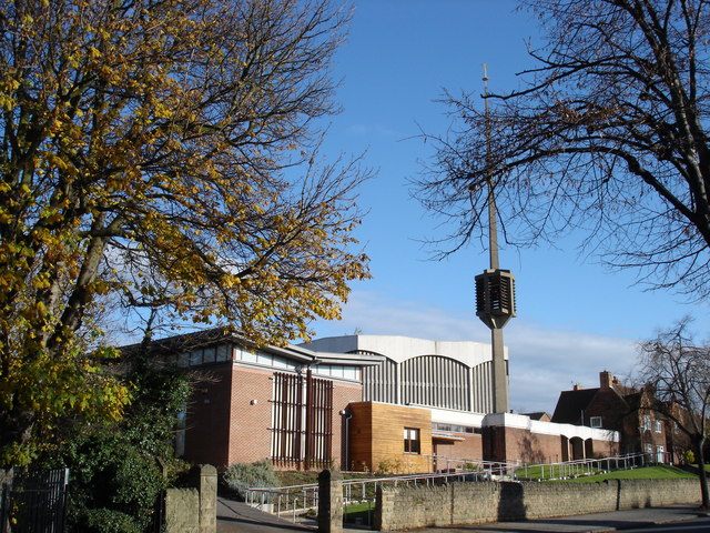
Church of the Good Shepherd, Nottingham
The Church of the Good Shepherd is a Roman Catholic church in Woodthorpe, Nottinghamshire. It is a Grade II* listed building. == History == The church...

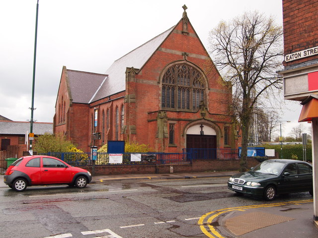
Daybrook Baptist Church
Daybrook Baptist Church is on Mansfield Road in Daybrook, near Arnold, Nottingham. == History == A Baptist congregation was established in Arnold, Nottingham...

Woodthorpe Grange Park
Woodthorpe Grange Park is a Green Flag–awarded public park located in Sherwood, Nottingham, Nottingham, on the northern edge of the city. One of the largest...
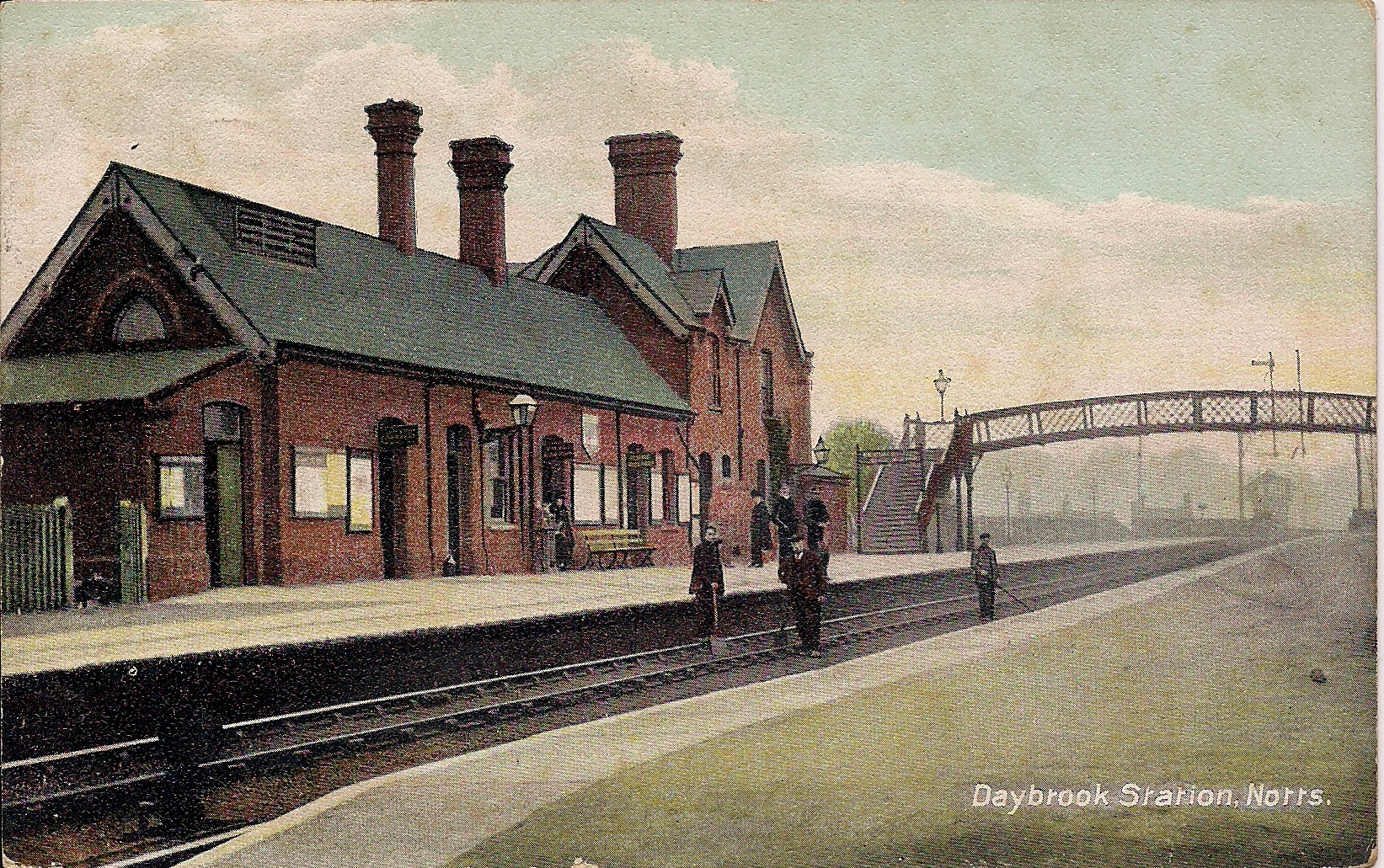
Daybrook railway station
Daybrook railway station was a railway station in Daybrook, Nottinghamshire. It was opened by the Great Northern Railway on its Derbyshire and Staffordshire...

Mapperley
Mapperley is a residential and commercial area of north-eastern Nottingham, England. The area is bounded by Sherwood to the north-west, Thorneywood to...
St Martin's Church, Sherwood
St Martin's Church is a grade II listed Church of England parish church in Sherwood, Nottingham. == History == It was first opened in 1937 to the design...
Mapperley Methodist Church
Mapperley Methodist Church is an active Methodist church on Woodborough Road in Mapperley, Nottingham. == History == The building of the church started...
Nearby Amenities
Located within 500m of 52.990577,-1.130064Have you been to Woodthorpe?
Leave your review of Woodthorpe below (or comments, questions and feedback).