Alcester Lane's End
Settlement in Worcestershire
England
Alcester Lane's End
Alcester Lane's End is a small village located in the county of Worcestershire, England. Situated on the outskirts of Alcester, the village is characterized by its picturesque countryside setting and peaceful atmosphere. It is surrounded by lush green fields, rolling hills, and scenic woodlands, making it an idyllic retreat for those seeking tranquility.
The village itself is relatively small, with a population of around 500 residents. It maintains a strong sense of community, with a range of local amenities and activities available to its inhabitants. These include a charming village hall, a local pub, and a primary school, providing essential services and a hub for social gatherings.
Alcester Lane's End is also known for its rich history. The village has roots dating back to the medieval period, and remnants of its past can still be seen today. The nearby Coughton Court, a stunning Tudor mansion, is a popular tourist attraction and offers visitors a glimpse into the area's historical significance.
The village benefits from its proximity to the town of Alcester, which is just a short distance away. Alcester offers a wider range of amenities, including shops, restaurants, and leisure facilities, ensuring that residents have access to everything they need.
Overall, Alcester Lane's End is a charming and peaceful village, perfect for those seeking a slower pace of life amidst beautiful rural surroundings. Its strong sense of community, rich history, and stunning natural beauty make it an attractive destination for both residents and visitors alike.
If you have any feedback on the listing, please let us know in the comments section below.
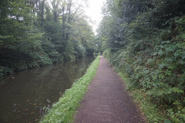
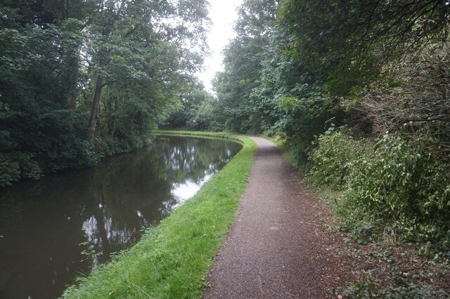
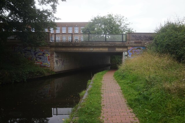
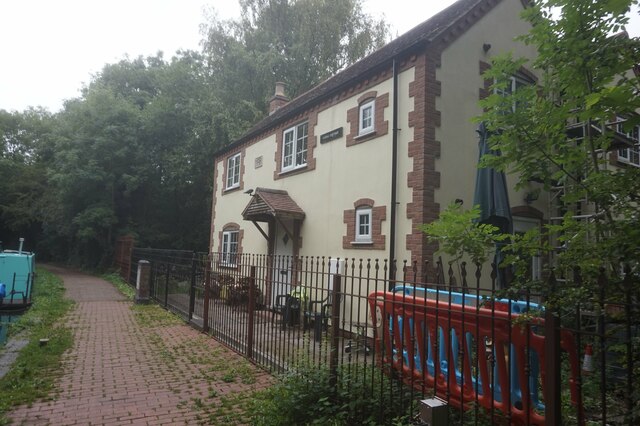
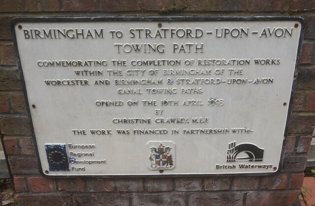
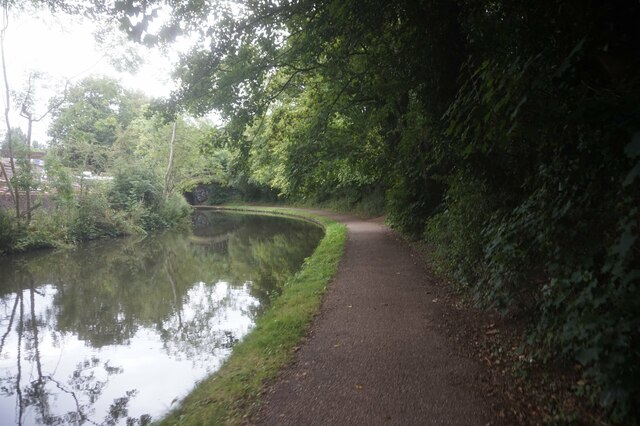
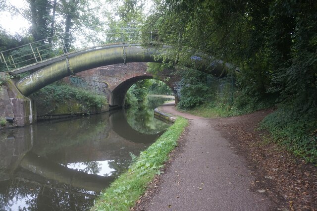
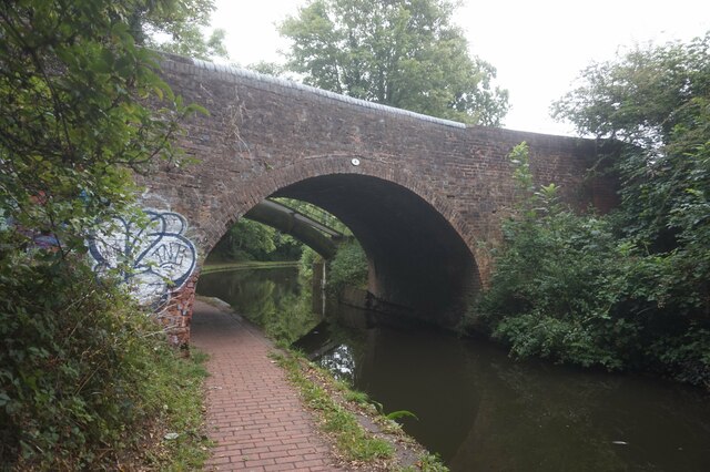
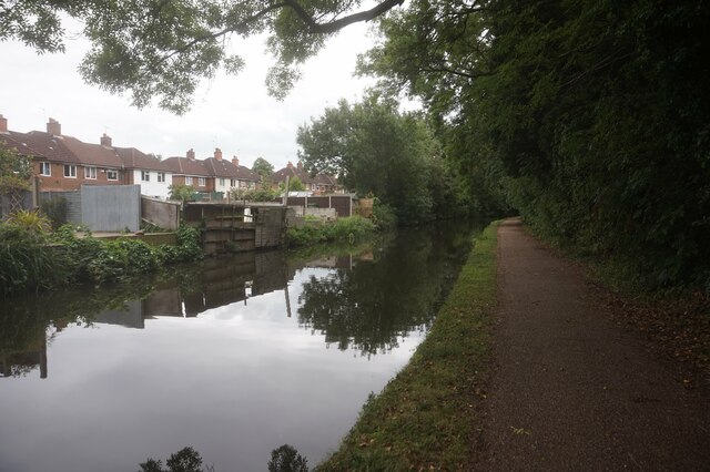
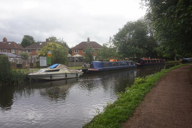
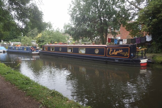
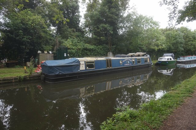
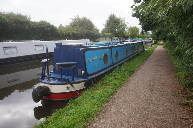
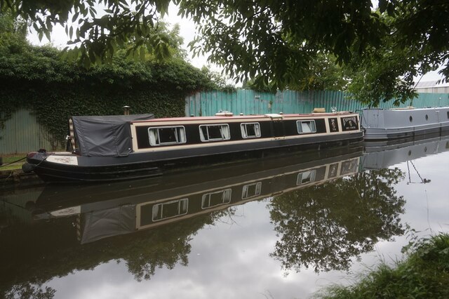
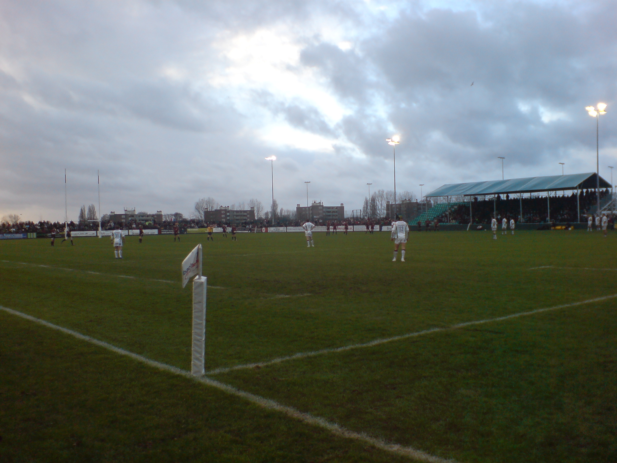
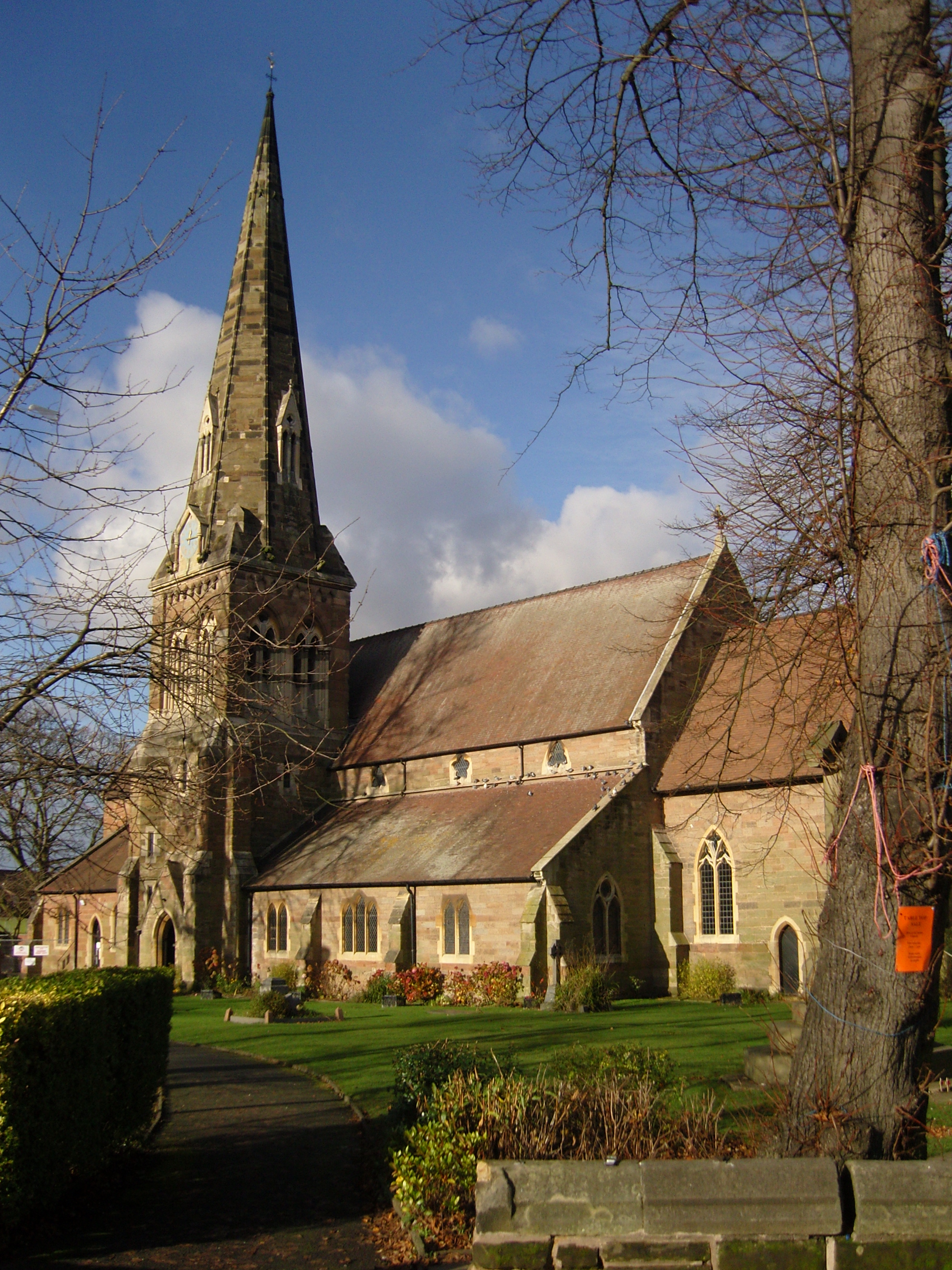
Alcester Lane's End Images
Images are sourced within 2km of 52.424476/-1.890262 or Grid Reference SP0780. Thanks to Geograph Open Source API. All images are credited.
Alcester Lane's End is located at Grid Ref: SP0780 (Lat: 52.424476, Lng: -1.890262)
Unitary Authority: Birmingham
Police Authority: West Midlands
What 3 Words
///factories.hours.loser. Near Shirley, West Midlands
Nearby Locations
Related Wikis

Wheelers Lane Technology College
Wheelers Lane Technology College (formerly Wheelers Lane Boys' School) is a secondary school for boys located in the Kings Heath area of Birmingham, in...
Kings Heath Boys
Kings Heath Boys is a boys' community school located in Kings Heath, south Birmingham, England. It has a comprehensive admissions policy, and in 2023 had...
Billesley Common
Billesley Common is a recreational area of public open space in South Birmingham, England. It is situated along the Yardley Wood Road, between the suburbs...
Kings Heath
Kings Heath (historically, and still occasionally King's Heath) is a suburb of south Birmingham, England, four miles south of the city centre. Historically...
Bishop Challoner Catholic College
Bishop Challoner Catholic College is a Roman Catholic secondary school in the Kings Heath area of Birmingham, England. The school has a roll of 1,152 students...
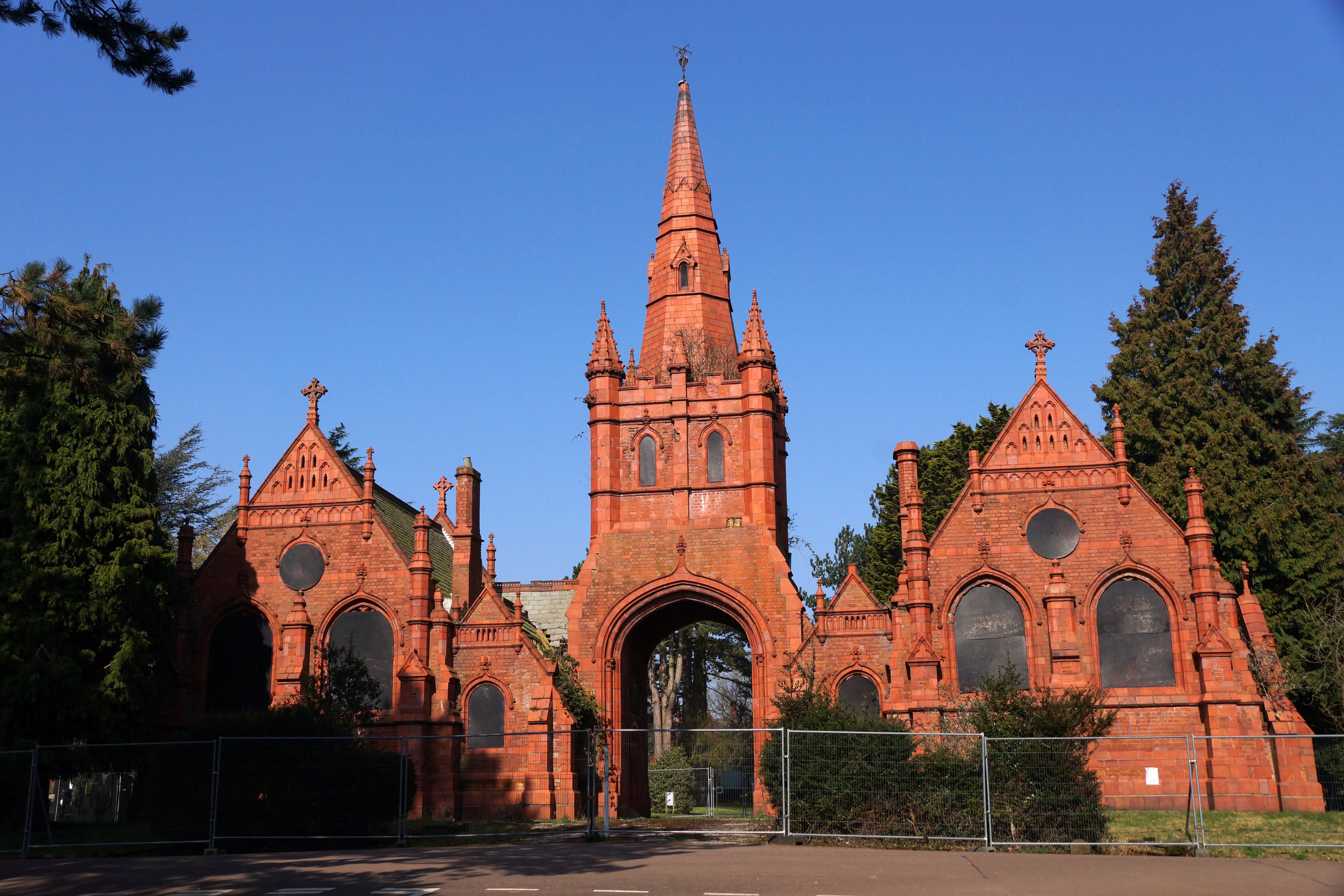
Brandwood End Cemetery
Brandwood End Cemetery is a cemetery located in the Brandwood ward of Birmingham, England. == History == Until the early 19th century the Church of England...

Brandwood End
Brandwood End is a locality in Birmingham, England, and makes up the central part of the Brandwood electoral ward. It lies within the B14 postcode and...
All Saints' Church, King's Heath
All Saints' Church, King's Heath, is a Grade II listed Church of England parish in the Anglican Diocese of Birmingham. == History == The church was constructed...
Nearby Amenities
Located within 500m of 52.424476,-1.890262Have you been to Alcester Lane's End?
Leave your review of Alcester Lane's End below (or comments, questions and feedback).