Brassington
Settlement in Derbyshire Derbyshire Dales
England
Brassington

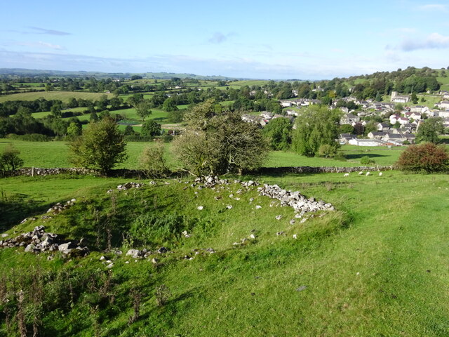
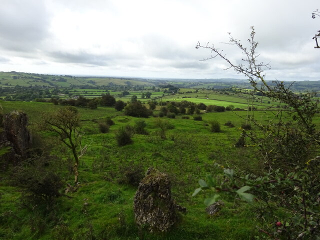
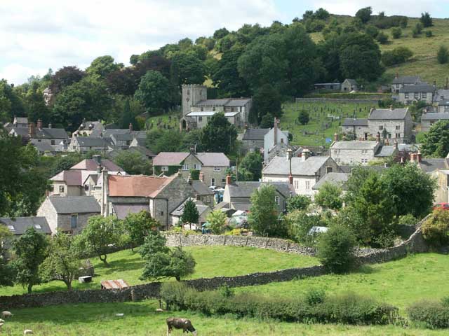
Brassington is a small village located in the county of Derbyshire, England. Situated in the Peak District National Park, it is surrounded by picturesque countryside and offers stunning views of rolling hills and quaint stone cottages. The village is situated approximately 8 miles west of Matlock and 12 miles north of Ashbourne.
With a population of around 800 residents, Brassington has retained its rural charm and traditional character. The village is known for its historic architecture, with many buildings dating back to the 17th and 18th centuries. The local church, St. James's, is a prominent feature of Brassington's skyline and has a rich history dating back to the 12th century.
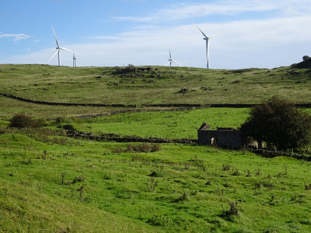
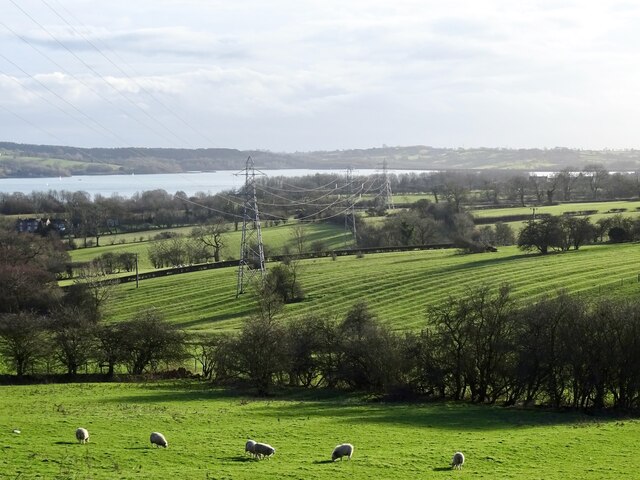
Brassington is a popular destination for outdoor enthusiasts, with numerous walking and cycling trails in the surrounding area. The Limestone Way, a long-distance footpath, passes through the village, attracting hikers from far and wide. The nearby Carsington Water reservoir offers opportunities for water sports, fishing, and birdwatching.
Despite its small size, Brassington has a strong sense of community. The village has a primary school, a village hall, and a local pub, The Miner's Arms, which is a hub for socializing and events. The annual Brassington Wakes festival, held in June, is a highlight of the village calendar and attracts visitors with its traditional festivities, live music, and entertainment.
In summary, Brassington is a charming village nestled in the heart of the Peak District National Park. With its historic buildings, scenic surroundings, and vibrant community spirit, it offers a delightful glimpse into rural English life.
If you have any feedback on the listing, please let us know in the comments section below.
Brassington Images
Images are sourced within 2km of 53.083569/-1.662066 or Grid Reference SK2254. Thanks to Geograph Open Source API. All images are credited.


Brassington is located at Grid Ref: SK2254 (Lat: 53.083569, Lng: -1.662066)
Administrative County: Derbyshire
District: Derbyshire Dales
Police Authority: Derbyshire
What 3 Words
///alleges.tonality.snitch. Near Wirksworth, Derbyshire
Nearby Locations
Related Wikis
Brassington
Brassington is a village and civil parish in the Derbyshire Dales district of Derbyshire, 16 miles north west of Derby. The parish had a population of...
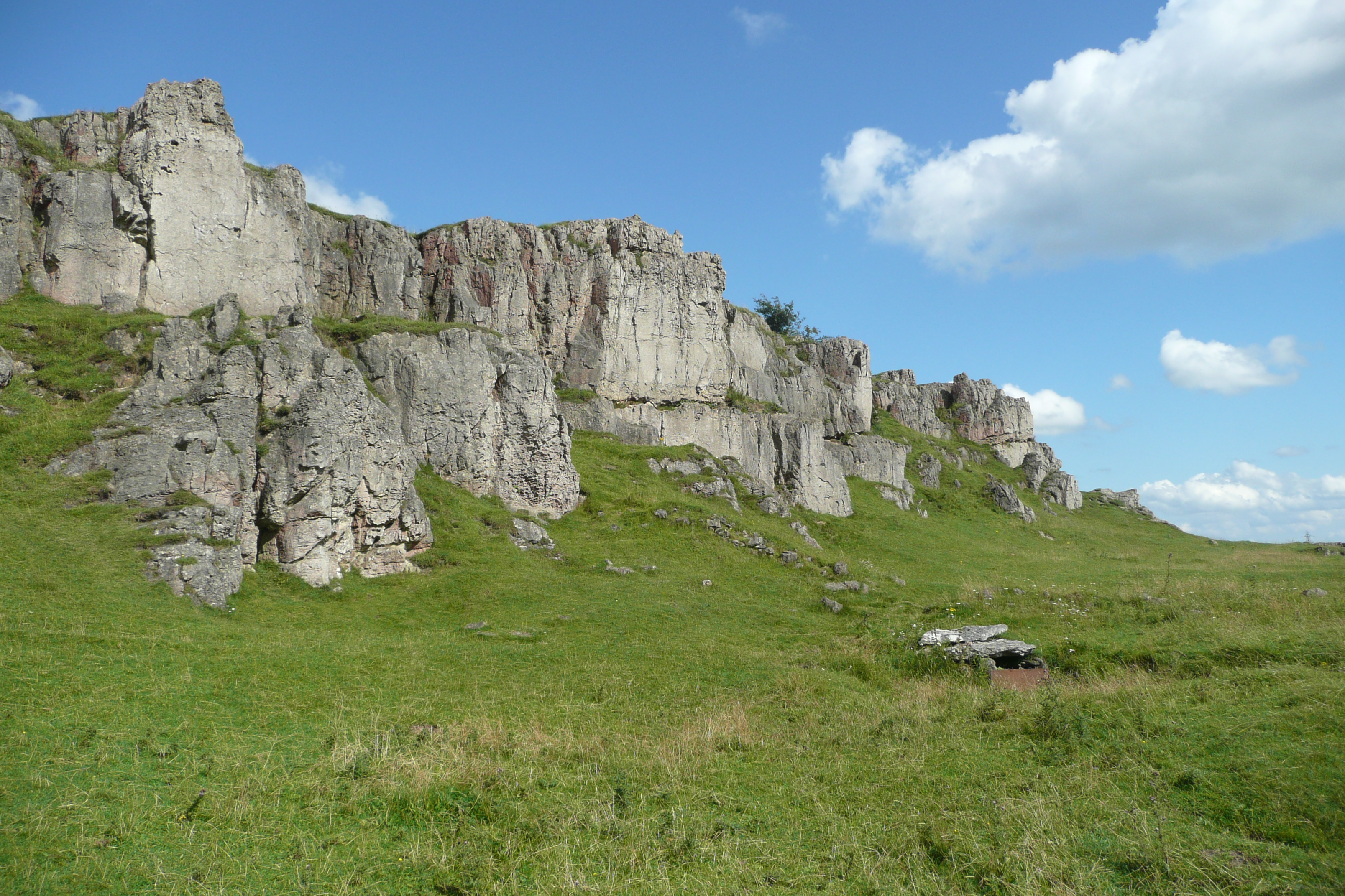
Harboro' Rocks
Harboro' Rocks (or Harborough Rocks) is a dolomitic limestone hill near the village of Brassington in the Derbyshire Peak District. The summit is 379 metres...

Longcliffe
Longcliffe is a crossroads hamlet in the English county of Derbyshire. It lies on the B5056 road where it is crossed by the Brassington-Elton road. The...

West Derbyshire (UK Parliament constituency)
West Derbyshire was a county constituency represented in the House of Commons of the Parliament of the United Kingdom. From 1885, until it was replaced...

Bradbourne
Bradbourne is a village and civil parish in the Derbyshire Dales district of Derbyshire, England. The village is just outside the Peak District National...
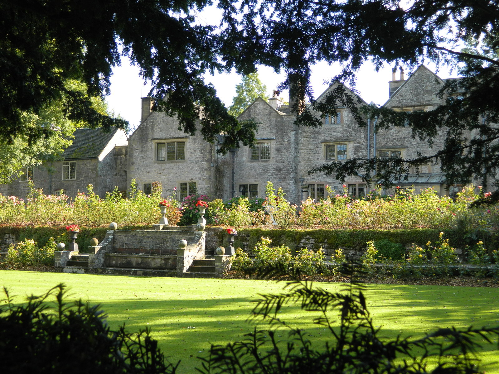
Bradbourne Hall
Bradbourne Hall is a country house near All Saint's Church, within the civil parish of Bradbourne, near Ashbourne, Derbyshire. It is a privately owned...
Bradbourne Priory
Bradbourne Priory was a priory in Bradbourne, Derbyshire, England. The Priory at Bradbourne consisted of the main priory church and community at Bradbourne...

All Saints Church, Ballidon
All Saints Church is a redundant Anglican church located to the south of the village of Ballidon, Derbyshire, England. It is recorded in the National...
Nearby Amenities
Located within 500m of 53.083569,-1.662066Have you been to Brassington?
Leave your review of Brassington below (or comments, questions and feedback).