Wolviston
Settlement in Durham
England
Wolviston
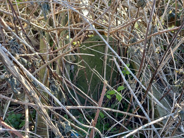
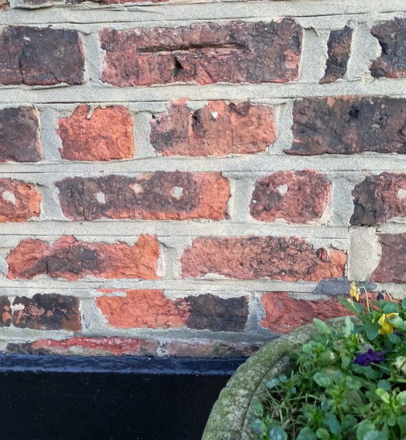
![Wolviston, Cattery There is a flush bracket [S8811] fixed into the east face of Wolviston Cattery. The building was previously the Methodist chapel.](https://s3.geograph.org.uk/geophotos/07/07/15/7071535_89efc732.jpg)
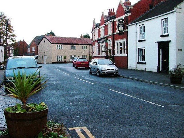
Wolviston is a small village located in County Durham, in the northeast of England. Situated approximately eight miles west of Hartlepool and five miles north of Stockton-on-Tees, it falls within the borough of Stockton-on-Tees. With a population of around 1,000 residents, Wolviston is a close-knit community known for its peaceful and picturesque surroundings.
The village is surrounded by beautiful countryside and offers a tranquil setting for its residents. It is characterized by its quaint cottages and well-maintained gardens, creating a charming and welcoming atmosphere. The village green serves as a central focal point, providing a space for community events and recreational activities.
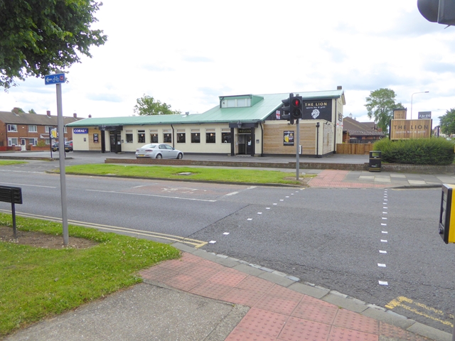
Wolviston boasts a number of amenities, including a primary school, church, and a popular local pub. The village hall is a hub for various community activities and gatherings. In addition, there are several sports clubs and facilities in the area, offering opportunities for residents to engage in recreational pursuits.
Despite its small size, Wolviston benefits from excellent transport links. The A19 road runs nearby, providing easy access to larger towns and cities in the region. The village is also well-connected by public transportation, with regular bus services operating to neighboring areas.
Overall, Wolviston offers a peaceful and close community environment, surrounded by beautiful countryside. Its convenient location and range of amenities make it an attractive place to live, particularly for those seeking a quieter lifestyle while still being within reach of urban centers.
If you have any feedback on the listing, please let us know in the comments section below.
Wolviston Images
Images are sourced within 2km of 54.623048/-1.2995612 or Grid Reference NZ4525. Thanks to Geograph Open Source API. All images are credited.
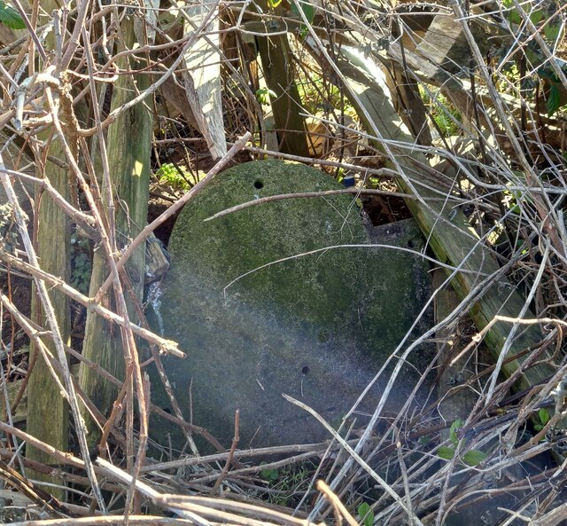
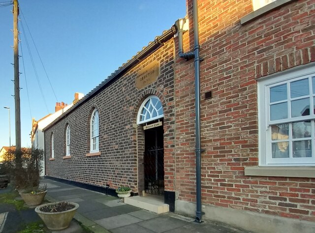
![Wolviston, Cattery There is a flush bracket [S8811] fixed into the east face of Wolviston Cattery. In the picture it is on the right hand side of the gable end wall and embedded into the 5th and 6th brick courses. The building was previously the Methodist chapel.](https://s2.geograph.org.uk/geophotos/07/07/15/7071538_576fcfb5.jpg)
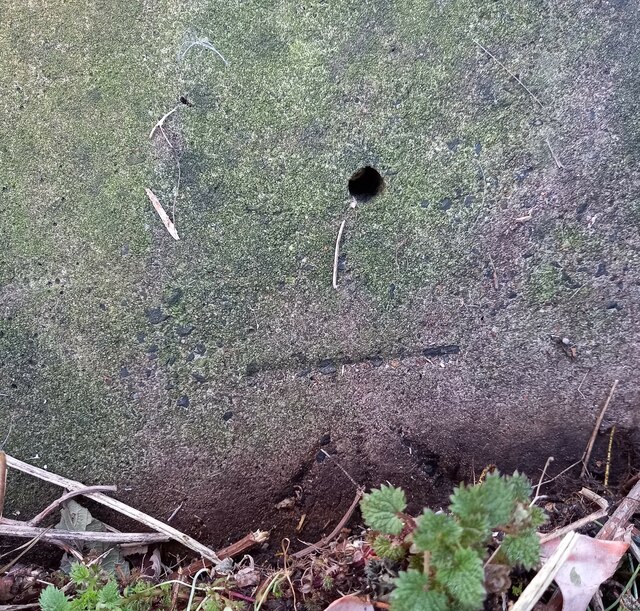
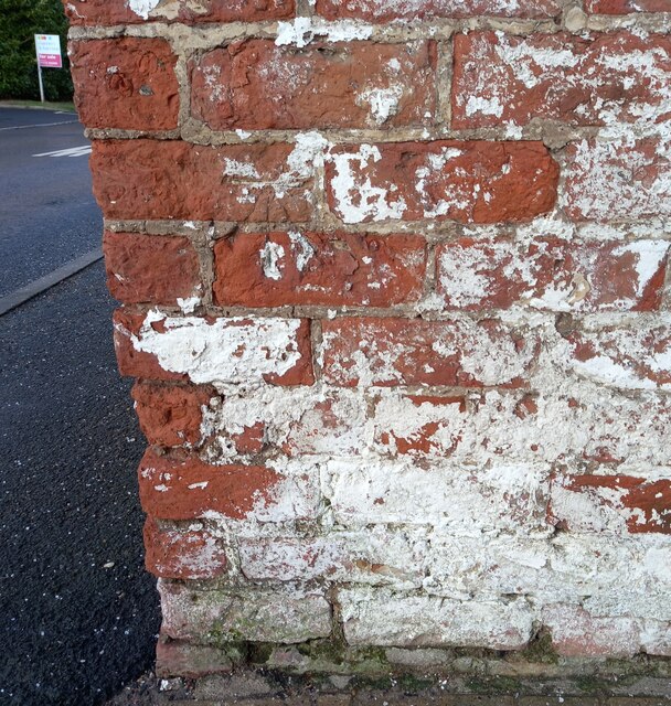
![Wolviston, [old road] footpath north of A1185 According to OS benchmark database there is a rivet benchmark cut into the kerb of the old road, now a footpath, at this location. Nothing was found.](https://s1.geograph.org.uk/geophotos/07/42/36/7423661_633f447c.jpg)


Wolviston is located at Grid Ref: NZ4525 (Lat: 54.623048, Lng: -1.2995612)
Unitary Authority: Stockton-on-Tees
Police Authority: Cleveland
What 3 Words
///photos.froth.entertainer. Near Billingham, Co. Durham
Nearby Locations
Related Wikis

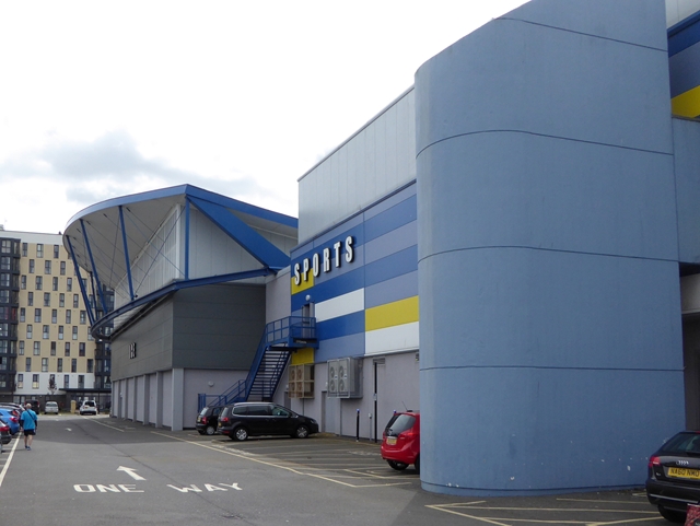
Northfield School & Sports College
Northfield School & Sports College is a comprehensive secondary school in Billingham, north-east England. == History == The school was established in 1972...
Wolviston
Wolviston is a village and civil parish within the borough of Stockton-on-Tees and the ceremonial county of County Durham, England. The population of the...

Bede Sixth Form College
Bede Sixth Form College is a further education sixth-form college, based in Billingham, County Durham, England. The college provides A-Level, vocational...
Billingham Campus School and Arts College
Billingham Campus School and Arts College was a co-educational comprehensive secondary school and Specialist Arts College, located on Marsh House Avenue...
Nearby Amenities
Located within 500m of 54.623048,-1.2995612Have you been to Wolviston?
Leave your review of Wolviston below (or comments, questions and feedback).